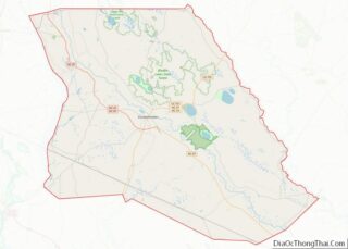
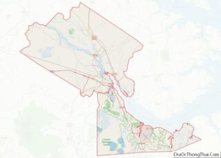
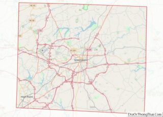
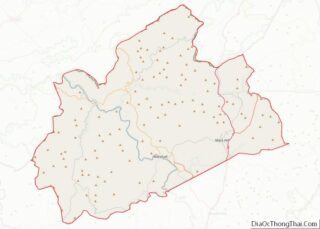
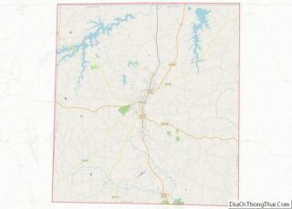
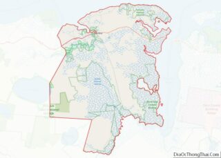
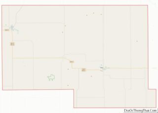
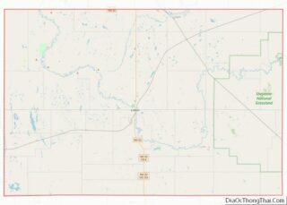
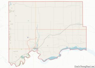
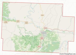
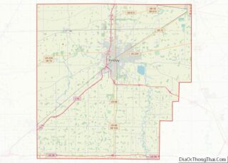
Map of Worth County, Iowa
Worth County is a county located in the U.S. state of Iowa. As of the 2020 census, the population was 7,443. The county seat is Northwood. The county was founded in 1851 and named for Major General William Jenkins Worth (1794–1849), an officer in both the Seminole War and the Mexican–American War. Worth County is ... Read more
Map of Worth County, Iowa
Map of Cloud County, Kansas
Cloud County (county code CD) is a county located in the U.S. state of Kansas. As of the 2020 census, the county population was 9,032. Its county seat and most populous city is Concordia. Cloud County overview: Name: Cloud County FIPS code: 20-029 State: Kansas Founded: March 27, 1867 Named for: William F. Cloud Seat: ... Read more
Map of Cloud County, Kansas
Map of Geary County, Kansas
Geary County (county code GE) is a county located in the U.S. state of Kansas. As of the 2020 census, the county population was 36,739. Its county seat and most populous city is Junction City. The county is named in honor of Governor John W. Geary. Geary County overview: Name: Geary County FIPS code: 20-061 ... Read more
Map of Geary County, Kansas
Map of Kearny County, Kansas
Kearny County overview: Name: Kearny County FIPS code: 20-093 State: Kansas Founded: March 20, 1873 Named for: Philip Kearny Seat: Lakin Largest city: Lakin Total Area: 871 sq mi (2,260 km²) Land Area: 871 sq mi (2,260 km²) Total Population: 3,983 Population Density: 4.6/sq mi (1.8/km²) Time zone: UTC−6 (Central) Summer Time Zone (DST): UTC−5 (CDT) Website: KearnyCountyKansas.com Kearny County location map. ... Read more
Map of Kearny County, Kansas
Map of Montgomery County, Kansas
Montgomery County (county code MG) is a county located in Southeast Kansas. As of the 2020 census, the county population was 31,486. Its county seat is Independence, and its most populous city is Coffeyville. Montgomery County overview: Name: Montgomery County FIPS code: 20-125 State: Kansas Founded: February 26, 1867 Named for: Richard Montgomery Seat: Independence ... Read more
Map of Montgomery County, Kansas
Map of Republic County, Kansas
Republic County overview: Name: Republic County FIPS code: 20-157 State: Kansas Founded: February 27, 1860 Named for: Republican River Seat: Belleville Largest city: Belleville Total Area: 720.31 sq mi (1,865.6 km²) Land Area: 716.38 sq mi (1,855.4 km²) Total Population: 4,674 Population Density: 6.5/sq mi (2.5/km²) Time zone: UTC−6 (Central) Summer Time Zone (DST): UTC−5 (CDT) Website: republiccounty.org Republic County location map. ... Read more
Map of Republic County, Kansas
Map of Stevens County, Kansas
Stevens County (standard abbreviation: SV) is a county located in the U.S. state of Kansas. As of the 2020 census, the county population was 5,250. Its county seat is Hugoton. The county is named for the Reconstruction era Pennsylvania politician Thaddeus Stevens. Stevens County overview: Name: Stevens County FIPS code: 20-189 State: Kansas Founded: August ... Read more
Map of Stevens County, Kansas
Map of Bath County, Kentucky
Bath County is a county located in the U.S. state of Kentucky. As of the 2020 census, the population was 12,750. The county seat is Owingsville. The county was formed in 1811. Bath County is included in the Mount Sterling, KY Micropolitan Statistical Area, which is also included in the Lexington-Fayette-Richmond–Frankfort, KY Combined Statistical Area. ... Read more
Map of Bath County, Kentucky
Map of Carter County, Kentucky
Carter County is a county located in the U.S. state of Kentucky. As of the 2020 census, the population was 26,627. Its county seat is Grayson. Carter County is in the Huntington-Ashland, WV-KY-OH Metropolitan Statistical Area. It is home to Carter Caves State Resort Park. Carter County overview: Name: Carter County FIPS code: 21-043 State: ... Read more
Map of Carter County, Kentucky
Map of Fulton County, Kentucky
Fulton County is the westernmost county in the U.S. state of Kentucky, with the Mississippi River forming its western boundary. As of the 2020 census, the population was 6,515. Its county seat is Hickman and its largest city is Fulton. The county was formed in 1845 from Hickman County, Kentucky and named for Robert Fulton, ... Read more
Map of Fulton County, Kentucky
Map of Hopkins County, Kentucky
Hopkins County is a county located in the western part of the U.S. state of Kentucky. As of the 2020 census, the population was 45,423. Its county seat is Madisonville. Hopkins County was created December 9, 1806 from Henderson County. It was named for General Samuel Hopkins, an officer in both the American Revolutionary War ... Read more
Map of Hopkins County, Kentucky
Map of Livingston County, Kentucky
Livingston County is a county located in the U.S. state of Kentucky. As of the 2020 census, the population was 8,888. Its county seat is Smithland and its largest city is Salem, but its largest community is the census-designated place of Ledbetter. The county was established in 1798 from land taken from Christian County and ... Read more
Map of Livingston County, Kentucky