Cleveland County is a county located in the foothills of the Blue Ridge Mountains and the western Piedmont, on the southern border of the U.S. state of North Carolina. As of the 2020 census, the population was 99,519. Its county seat is Shelby. Cleveland County comprises the Shelby, NC Micropolitan Statistical Area. It is included in the Charlotte-Concord, NC-SC Combined Statistical Area.
| Name: | Cleveland County |
|---|---|
| FIPS code: | 37-045 |
| State: | North Carolina |
| Founded: | 1841 |
| Named for: | Colonel Benjamin Cleveland |
| Seat: | Shelby |
| Largest city: | Shelby |
| Total Area: | 468 sq mi (1,210 km²) |
| Land Area: | 464 sq mi (1,200 km²) |
| Total Population: | 99,519 |
| Population Density: | 210/sq mi (82/km²) |
| Time zone: | UTC−5 (Eastern) |
| Summer Time Zone (DST): | UTC−4 (EDT) |
| Website: | www.clevelandcounty.com |
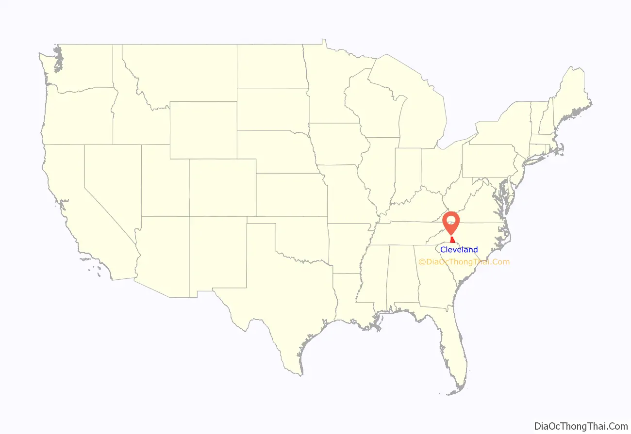
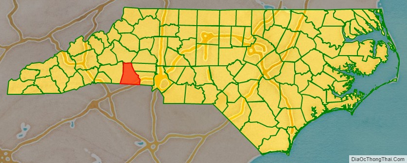
Cleveland County location map. Where is Cleveland County?
History
The county was formed in 1841 from parts of Lincoln and Rutherford counties. It was named for Benjamin Cleveland, a colonel in the American Revolutionary War, who took part in Patriot victory at the Battle of King’s Mountain. From 1841 to 1887 “Cleaveland” was the spelling used; the present spelling was adopted in 1887.
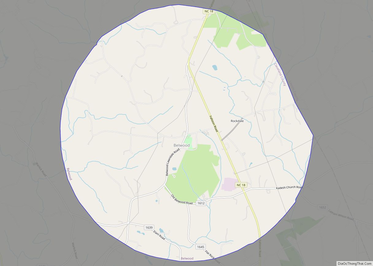
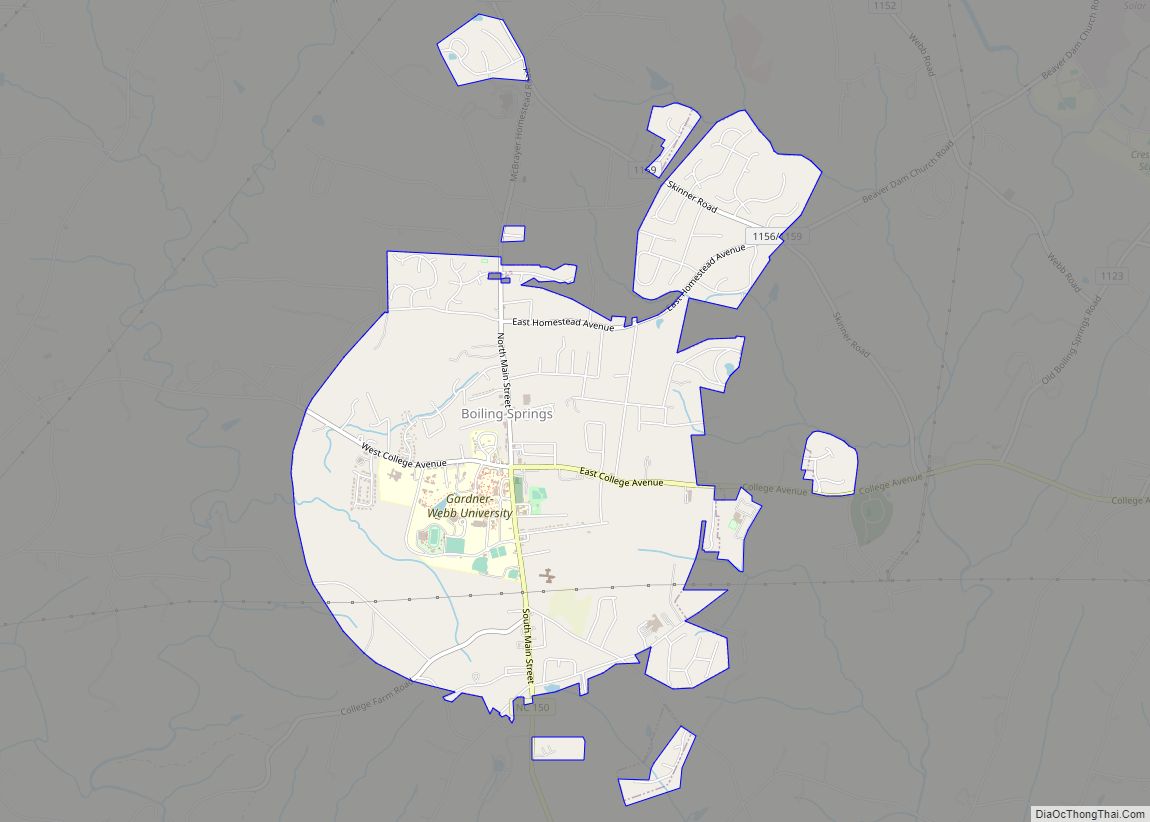
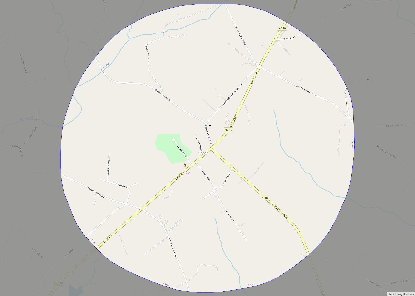
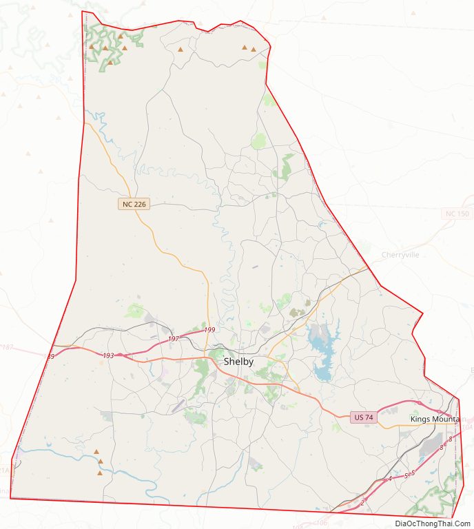
Cleveland County Road Map
Geography
According to the U.S. Census Bureau, the county has a total area of 468 square miles (1,210 km), of which 464 square miles (1,200 km) is land and 4.0 square miles (10 km) (0.9%) is water.
Cleveland County is part of the South Mountains, a sub-range of the Blueridge Mountains that runs through the county’s northwest corner. In the south east corner of the county is Crowders & Kings Mountains, part of a small narrow ridge that sits above the very near surrounding area. They are part of a very old remnant of The Appalachians and used to be much larger. Overall Cleveland County is very hilly, and even mountainous in certain parts, though not to the extreme as counties to the west or north.
State and local protected areas
- Broad River Greenway
- City of Shelby Hanna Park
- Fallen Heroes Memorial at Raper-Roark Park
- John H. Moss Lake Recreation Park
- Kings Mountain Gateway Trail
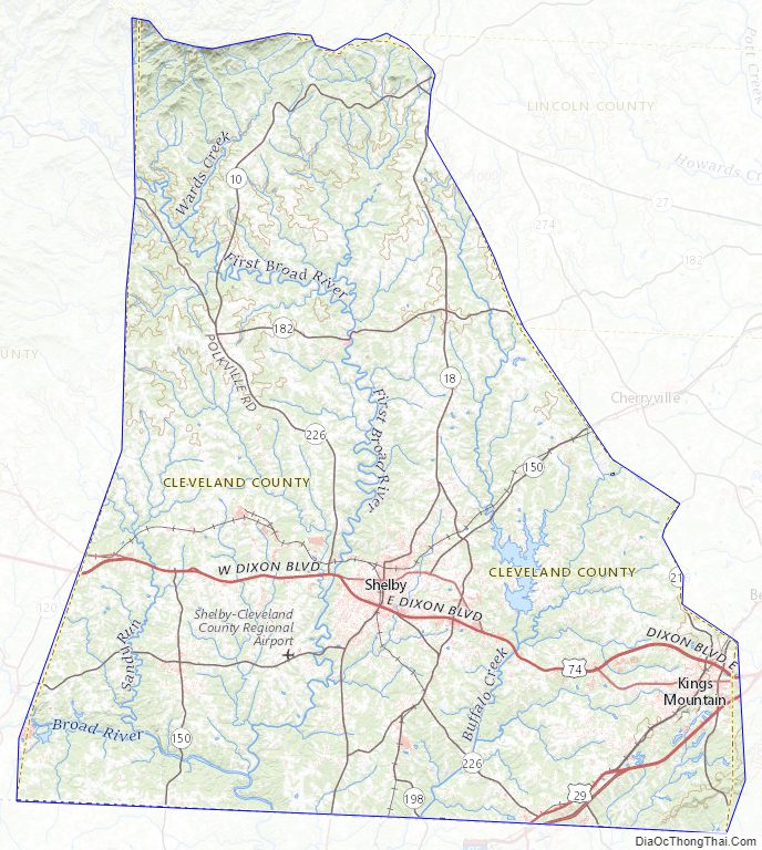
Major water bodies
- Benson Creek
- Broad River
- Buffalo Creek
- Hilton Creek
- Kings Mountain Reservoir
- Little Buffalo Creek
- Little Persimmon Creek
- Persimmon Creek
- Suck Creek
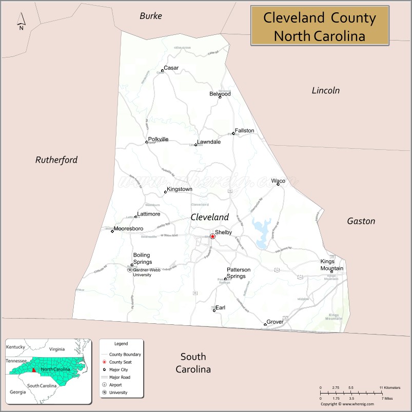
Adjacent counties
- Burke County – north
- Lincoln County – east
- Gaston County – east
- York County, South Carolina – south
- Cherokee County, South Carolina – south
- Rutherford County – west
Major highways
- I-85
- US 29
- US 74
- US 74 Bus. (Kings Mountain)
- US 74 Bus. (Shelby)
- US 74 Bus. (To Rutherford County)
- US 74 Byp. (Shelby Bypass)
- NC 10
- NC 18
- NC 27
- NC 150
- NC 161
- NC 180
- NC 182
- NC 198
- NC 216
- NC 226
Cleveland County Topographic Map
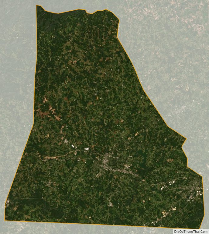
Cleveland County Satellite Map
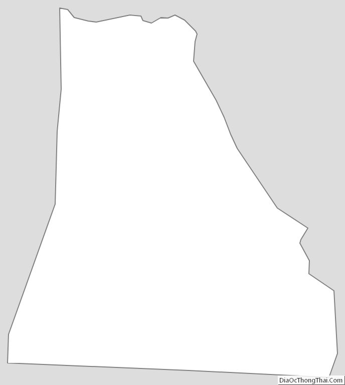
Cleveland County Outline Map