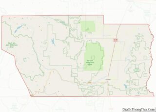
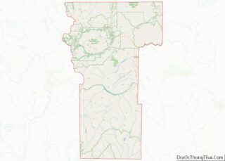
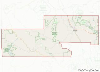
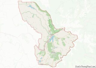
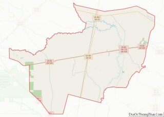
Map of Marion County

Map of Marion County, Alabama

Marion County is a county of the U.S. state of Alabama. As of the 2020 census the population was 29,341. The county seat is Hamilton. The county was created by an act of the Alabama Territorial General Assembly on February 13, 1818. The county seat was originally established in Pikeville in 1820, and moved to … Read more

Map of Tuscaloosa County

Map of Tuscaloosa County, Alabama

Tuscaloosa County is a county in the northwest-central portion of the U.S. state of Alabama and is the center of commerce, education, industry, health care, and entertainment for the region. The county’s population was 227,036 as of the 2020 census. The county seat and largest city is Tuscaloosa. Tuscaloosa County is part of the Tuscaloosa, … Read more

Map of Ketchikan Gateway Borough

Map of Ketchikan Gateway Borough, Alaska

Ketchikan Gateway Borough is a borough located in the U.S. state of Alaska. As of the 2020 census its population was 13,948, up from 13,477 in 2010. The borough seat is Ketchikan. The borough is the second most populous borough in Southeast Alaska, the first being Juneau Borough. Ketchikan Gateway Borough comprises the Ketchikan, AK … Read more

Map of Cochise County

Map of Cochise County, Arizona

Cochise County (/koʊˈtʃiːs/) is a county in the southeastern corner of the U.S. state of Arizona. It is named after the Native American chief Cochise. The population was 125,447 at the 2020 census. The county seat is Bisbee and the most populous city is Sierra Vista. Cochise County includes the Sierra Vista–Douglas, Arizona Metropolitan Statistical … Read more

Map of Baxter County

Map of Baxter County, Arkansas

Baxter County is a county in the U.S. state of Arkansas. As of the 2020 census, the county’s population was 41,627. The county seat is Mountain Home. It is Arkansas’s 66th county, formed on March 24, 1873, and named for Elisha Baxter, the tenth governor of Arkansas. The Mountain Home, AR, Micropolitan Statistical Area includes … Read more

Map of Cross County

Map of Cross County, Arkansas

Cross County is a rural Northeast Arkansas county in the Arkansas Delta. Created as Arkansas’s 53rd county on November 15, 1862, Cross County contains four incorporated municipalities, including Wynne, the county seat and most populous city. It is named for Confederate Colonel David C. Cross, a political leader in the area. The county is largely … Read more

Map of Jefferson County

Map of Jefferson County, Arkansas

Jefferson County, Arkansas is a county located in the U.S. state of Arkansas in the area known as the Arkansas Delta that extends west of the Mississippi River. Jefferson County consists of five cities, two towns, and 20 townships. The county is bisected by the Arkansas River, which was critical to its development and long … Read more

Map of Newton County

Map of Newton County, Arkansas

Newton County is a county in the U.S. state of Arkansas. As of the 2020 census, the population was 7,225. The county seat is Jasper. Newton County is Arkansas’s 46th county, formed on December 14, 1842, and named for Thomas W. Newton, an Arkansas Congressman. It is an alcohol prohibition or dry county. Newton County … Read more

Map of Sevier County

Map of Sevier County, Arkansas

Sevier County overview: Name: Sevier County FIPS code: 05-133 State: Arkansas Founded: October 17, 1828 Named for: Ambrose Hundley Sevier Seat: De Queen Largest city: De Queen Total Area: 581 sq mi (1,500 km²) Land Area: 565 sq mi (1,460 km²) Total Population: 15,839 Population Density: 27/sq mi (11/km²) Time zone: UTC−6 (Central) Summer Time Zone (DST): UTC−5 (CDT) Sevier County location … Read more

Map of Del Norte County

Map of Del Norte County, California

Del Norte County /dɛl ˈnɔːrt/ (Spanish for “Of The North”) is a county at the far northwest corner of the U.S. state of California, along the Pacific Ocean adjacent to the Oregon border. Its population is 27,743 as of the 2020 census, down from 28,610 from the 2010 census. The county seat and only incorporated … Read more

Map of Merced County

Map of Merced County, California

Merced County (/mərˈsɛd/ (listen) mər-SED), is a county located in the northern San Joaquin Valley section of the Central Valley, in the U.S. state of California. As of the 2020 census, the population was 281,202. The county seat is Merced. The county is named after the Merced River. Merced County comprises the Merced, CA Metropolitan … Read more

Map of San Luis Obispo County

Map of San Luis Obispo County, California

San Luis Obispo County overview: Name: San Luis Obispo County FIPS code: 06-079 State: California Founded: 1850 Named for: Saint Louis, Bishop of Toulouse Seat: San Luis Obispo Largest city: Atascadero Total Area: 3,616 sq mi (9,370 km²) Land Area: 3,299 sq mi (8,540 km²) Total Population: 282,424 Population Density: 86/sq mi (33/km²) Website: www.co.slo.ca.us San Luis Obispo County location map. Where … Read more