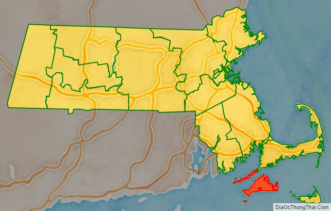
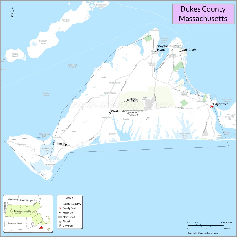
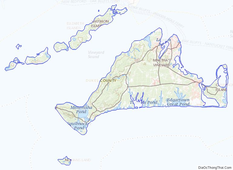
Dukes County is a county located in the U.S. state of Massachusetts. As of the 2020 census, the population was 20,600, making it the second-least populous county in Massachusetts. Its county seat is Edgartown.
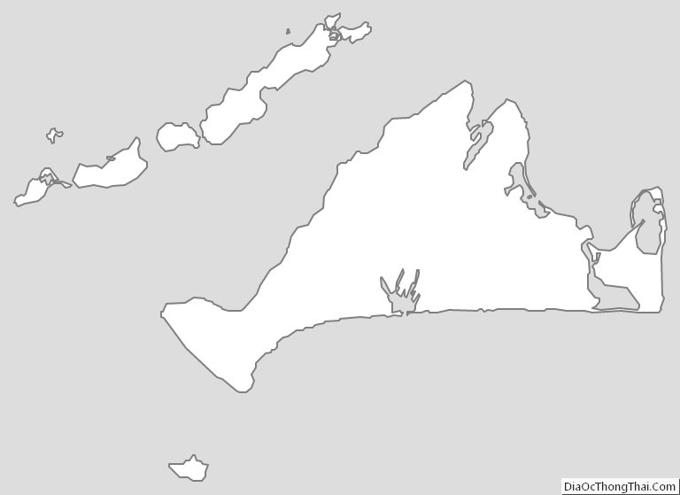
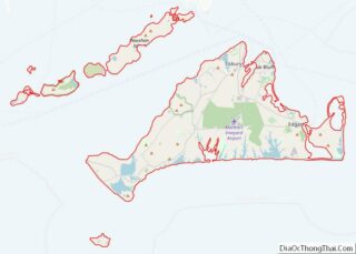
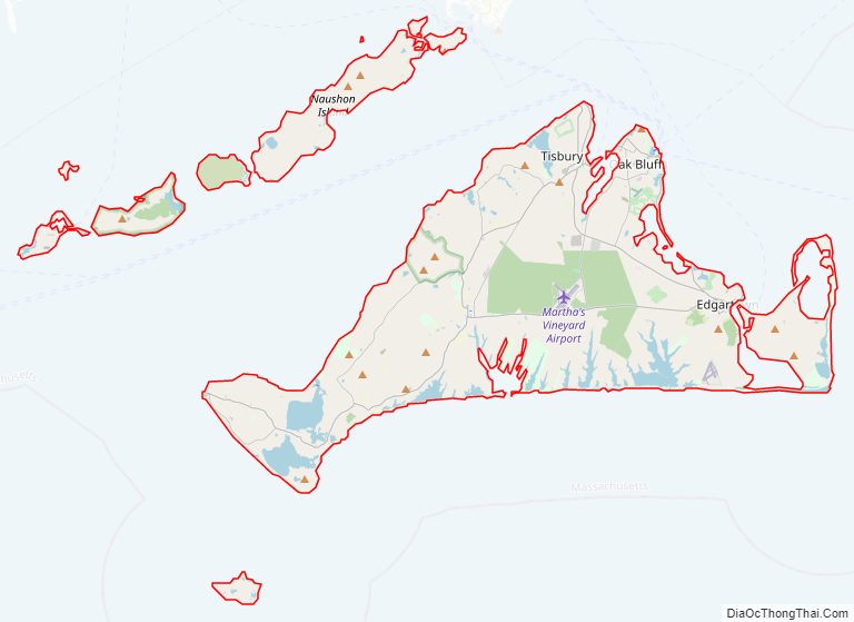
Dukes County comprises the Vineyard Haven, MA Micropolitan Statistical Area. The county consists of the island of Martha’s Vineyard (including Chappaquiddick Island), the Elizabeth Islands (including Cuttyhunk), the island of Nomans Land, and other associated islets.
| Name: | Dukes County |
|---|---|
| FIPS code: | 25-007 |
| State: | Massachusetts |
| Founded: | 1695 |
| Named for: | James, Duke of York |
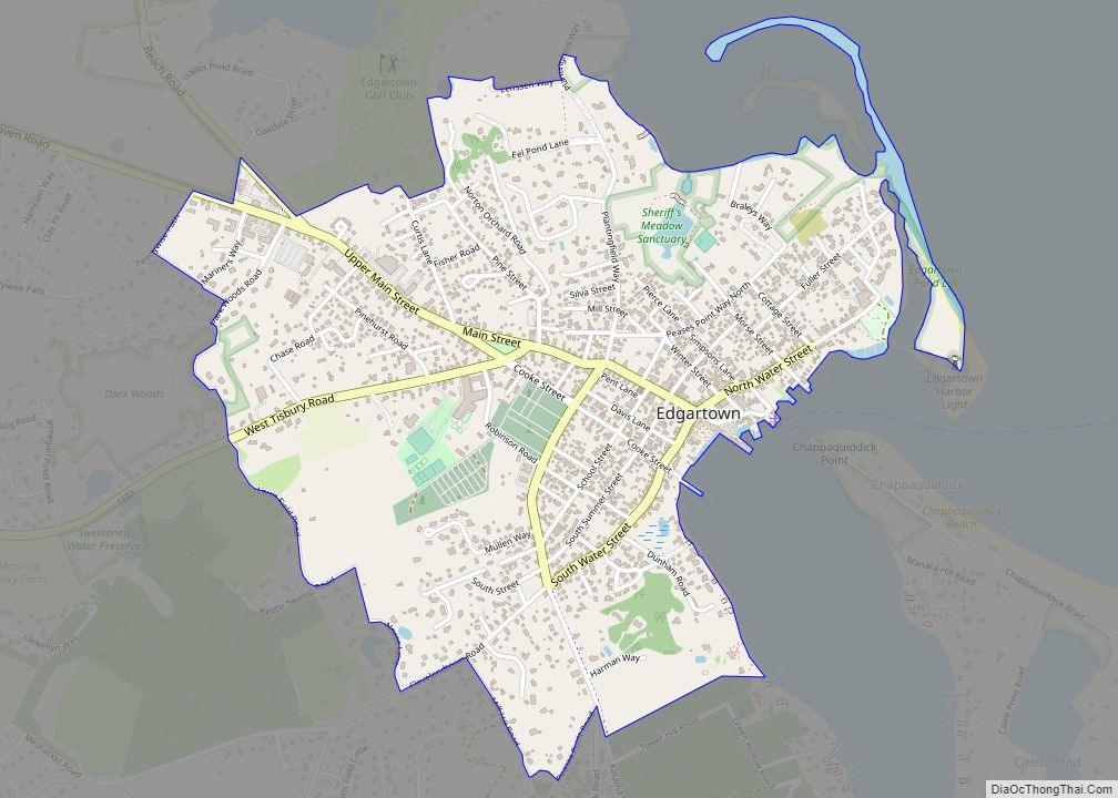
| Seat: | Edgartown |
| Largest town: | Oak Bluffs |
| Total Area: | 491 sq mi (1,270 km²) |
| Land Area: | 103 sq mi (270 km²) |
| Total Population: | 20,600 |
| Population Density: | 199.6/sq mi (77.1/km²) |
| Time zone: | UTC−5 (Eastern) |
| Summer Time Zone (DST): | UTC−4 (EDT) |
| Website: | www.dukescounty.org |
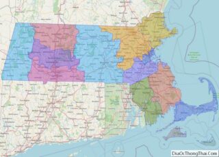
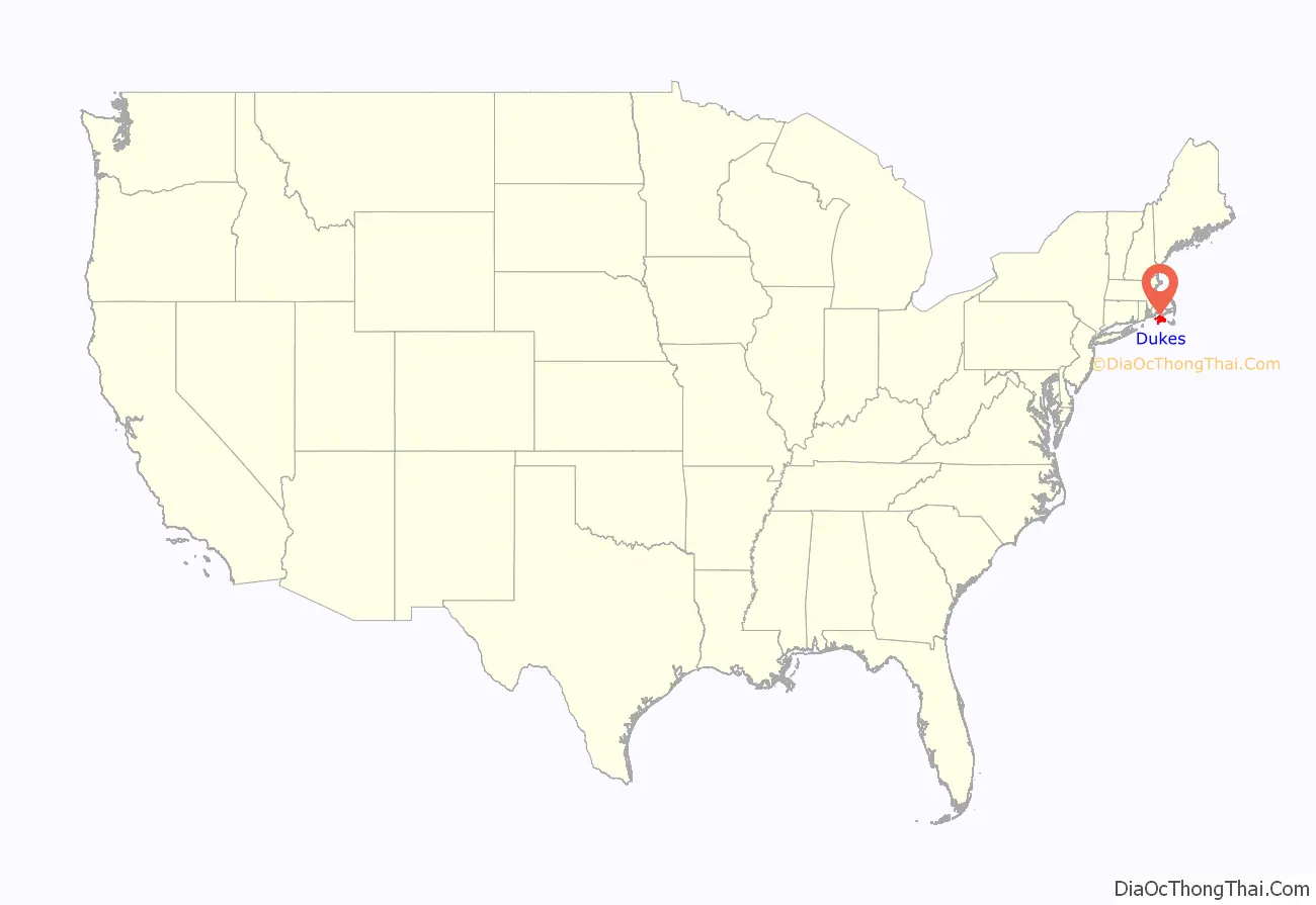
Dukes County location map. Where is Dukes County?
History
The original inhabitants of the islands were Wampanoag, who had several villages. Political jurisdiction over the lands were granted by the English monarchy in overlapping claims to two different British nobles, from which Massachusetts Bay Company settler Thomas Mayhew purchased them in 1641. Mayhew established a colony in his new domain, carefully purchasing land ownership rights from the native inhabitants, and maintaining native governments to continue unimpeded. In 1665, Mayhew’s lands were included in a grant to James, Duke of York (later King James II). In 1671, a settlement was arranged, allowing Mayhew to continue to rule while placing his territory under the jurisdiction of the Province of New York.
Dukes County was thus established as Dukes County, New York, on November 1, 1683, and included all of Mayhew’s lands – Martha’s Vineyard, Nantucket, and the Elizabeth Islands. The county was transferred to Massachusetts on October 7, 1691, and at the same time Nantucket Island was split into the separate Nantucket County, Massachusetts. The 1695 incorporation statute created a county “by the name of Dukes County,” as opposed to the standard form “the county of Dukes” which is the reason for the redundancy in the formal name, “County of Dukes County”.
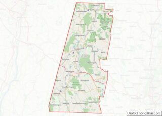
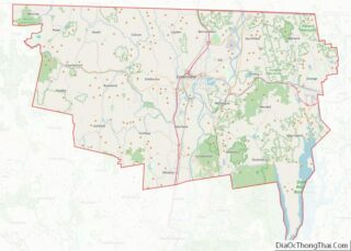
Dukes County Road Map
Geography
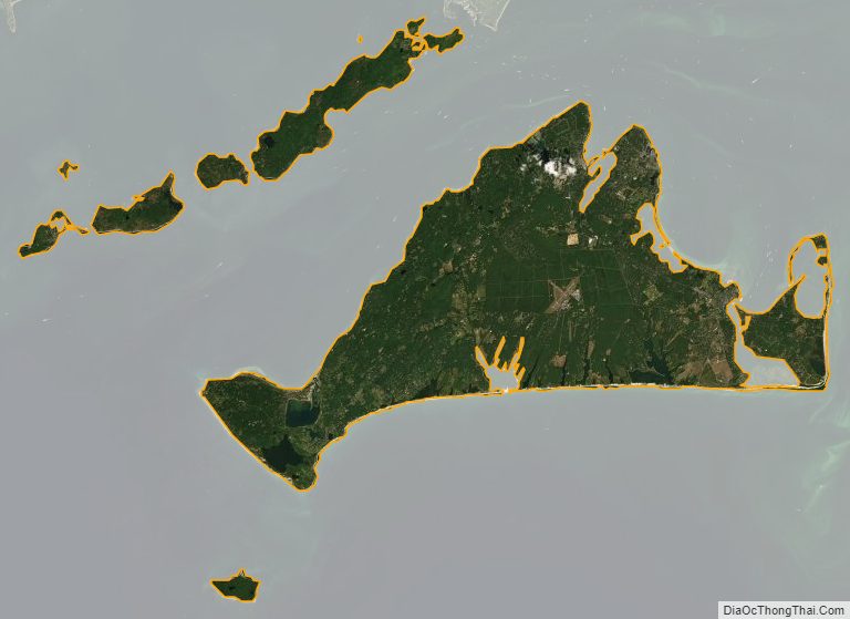
According to the U.S. Census Bureau, the county has a total area of 491 square miles (1,270 km), of which 103 square miles (270 km) is land and 388 square miles (1,000 km) (79%) is water. It is the third-smallest county by land area in Massachusetts.
Nearby counties
- Barnstable County, Massachusetts – northeast
- Plymouth County, Massachusetts – north
- Bristol County, Massachusetts – northwest
- Nantucket County, Massachusetts – east
National protected area
- Nomans Land Island National Wildlife Refuge
Dukes County Topographic Map
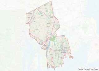
Dukes County Satellite Map
Dukes County Outline Map