| Name: | Ontonagon County |
|---|---|
| FIPS code: | 26-131 |
| State: | Michigan |
| Founded: | 1843 |
| Named for: | Ontonagon River |
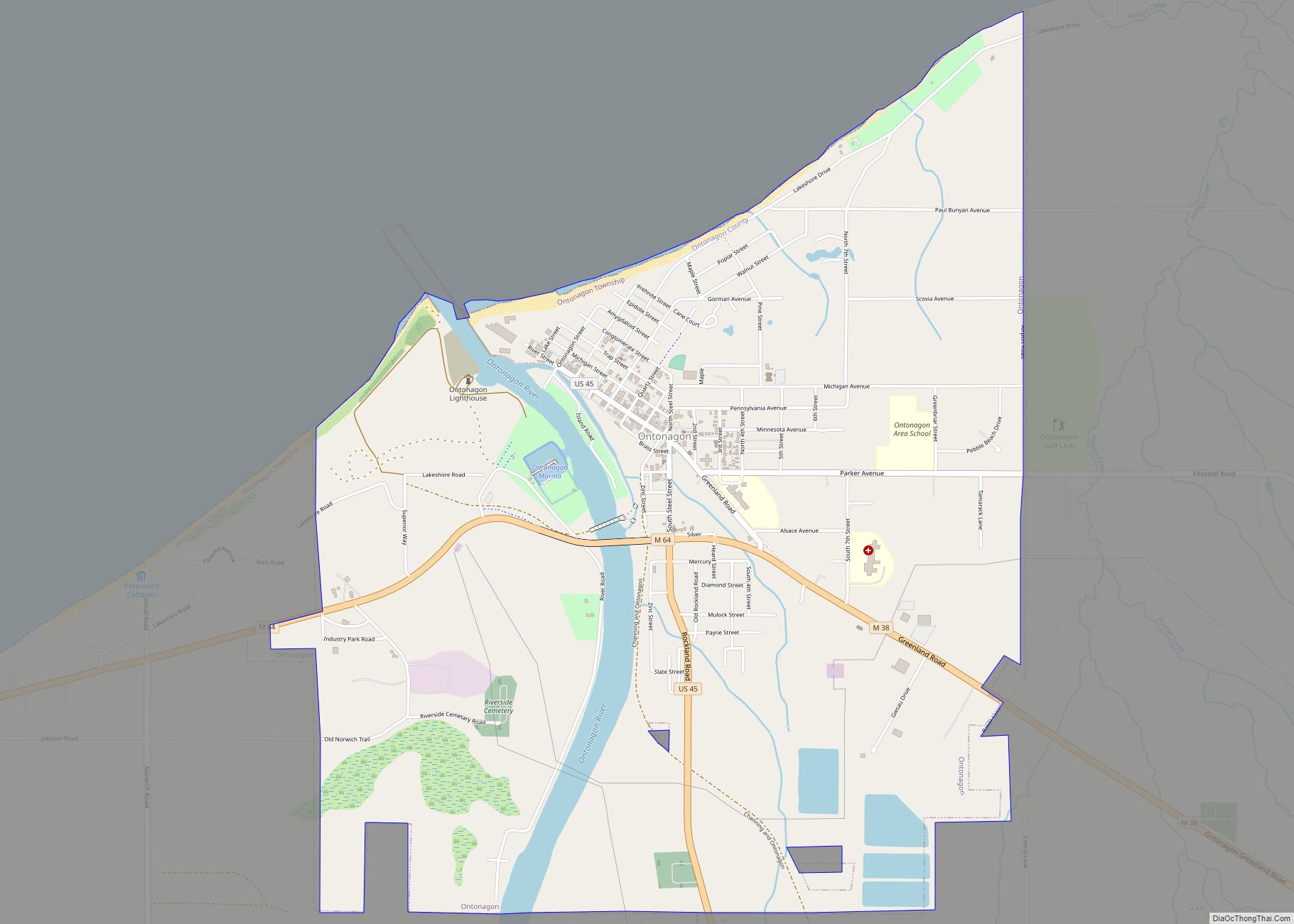
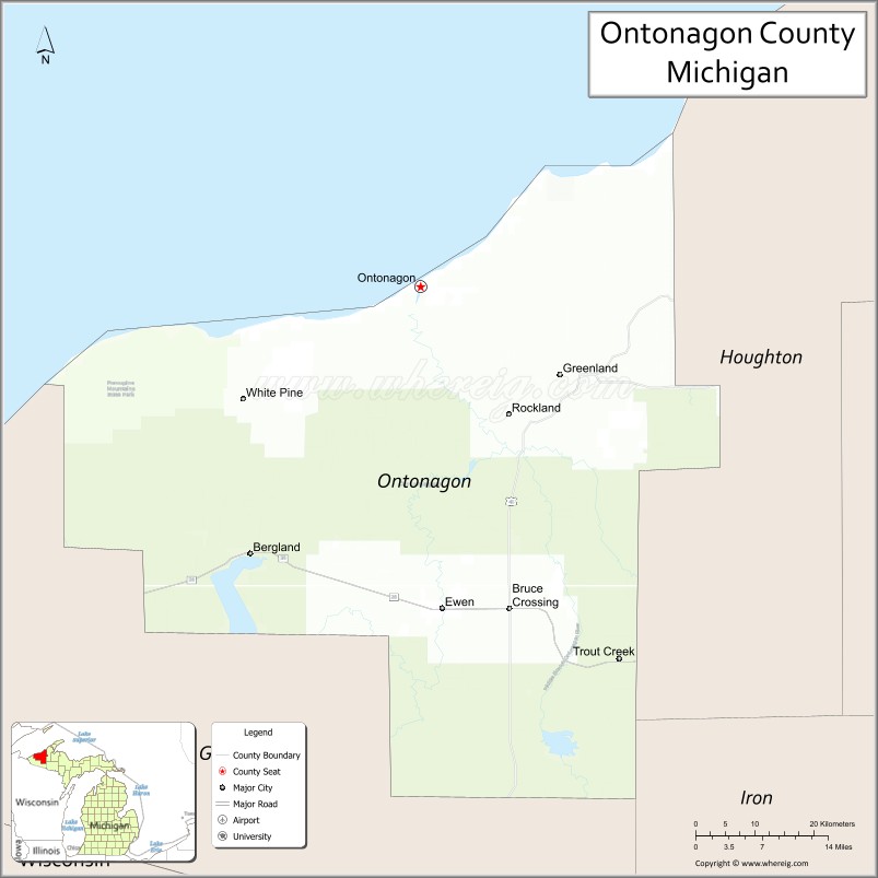
| Seat: | Ontonagon |
| Total Area: | 3,741 sq mi (9,690 km²) |
| Land Area: | 1,311 sq mi (3,400 km²) |
| Total Population: | 5,816 |
| Population Density: | 5.2/sq mi (2.0/km²) |
| Time zone: | UTC−5 (Eastern) |
| Summer Time Zone (DST): | UTC−4 (EDT) |
| Website: | ontonagoncounty.org |
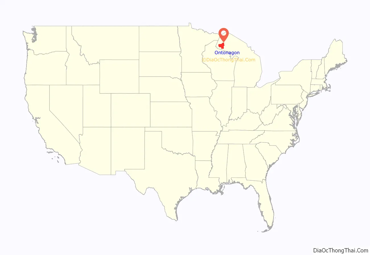
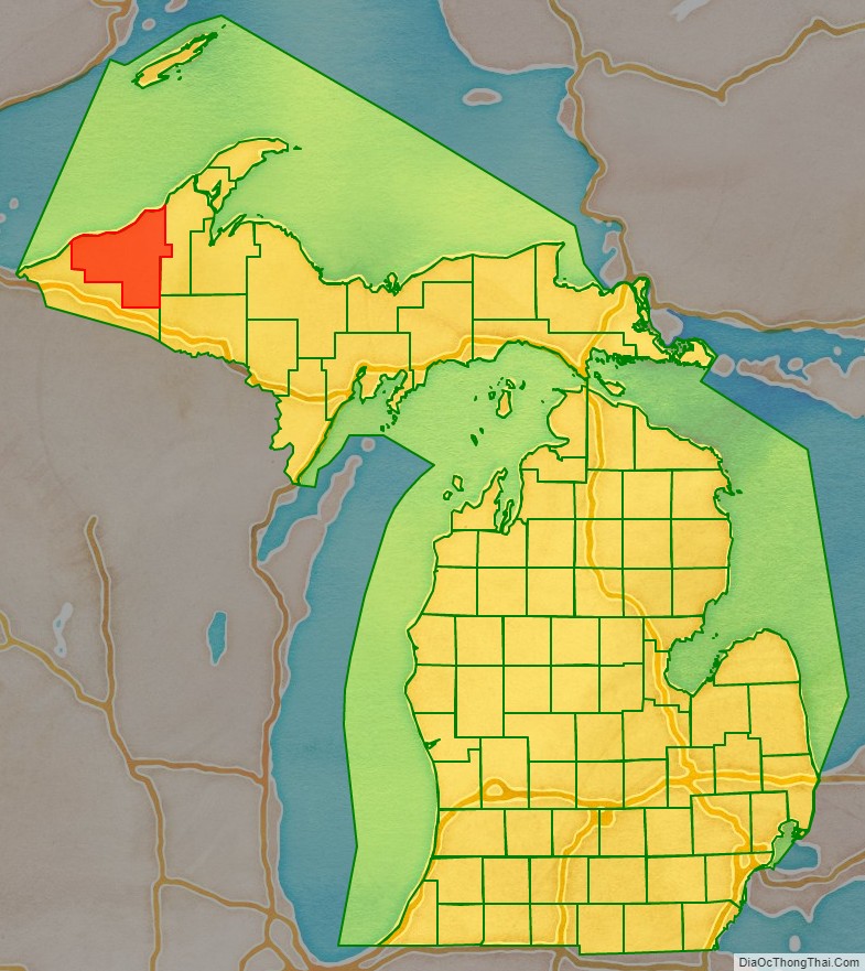
Ontonagon County location map. Where is Ontonagon County?
History
In 1843, Michigan’s Upper Peninsula was divided into Mackinac, Chippewa, Marquette, Schoolcraft, Delta, and Ontonagon Counties. In 1845, a portion of Ontonagon County was partitioned to be part of Houghton County. In 1846, the village of Ontonagon was named as the county seat of Ontonagon County.
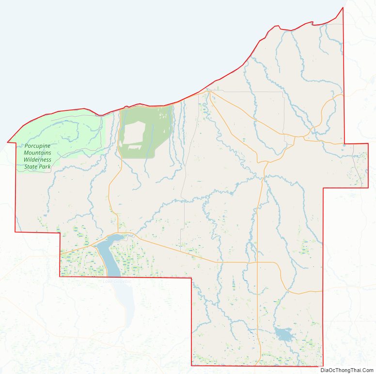
Ontonagon County Road Map
Geography
According to the US Census Bureau, the county has a total area of 3,741 square miles (9,690 km), of which 1,311 square miles (3,400 km) is land and 2,430 square miles (6,300 km) (65%) is water. It is the third-largest county in Michigan by area.
At a longitude of 89.5°W, it is the westernmost county in the United States contained entirely within the Eastern Time Zone.
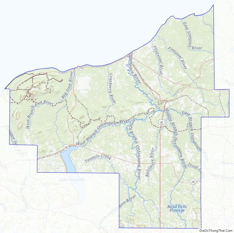
Geographic features
- Lake of the Clouds
- Lake Superior
- Lake Gogebic is the largest lake in the Upper Peninsula.
- Corpse Pond
- Ontonagon River
- Firesteel River
- Flintsteel River
- Halfway Creek
- Townline Creek
- Maple Leaf Creek
Major highways
- US 45 – runs north–south through east-central part of county. Enters south line from Watersmeet, passes Paulding, Bruce Crossing, and Rockland, ending at Ontonagon.
- M-26 – enters east line of county at 12 miles (19 km) south of NE county corner. Runs SW, passing Mass City and Lake Mine, to intersection with M-38 east of Rockland.
- M-28 – runs east–west thru southern part of county. Enters 10.4 miles (16.6 km) north of SE county corner. Runs westerly into Gogebic County.
- M-38 – enters east line of county at a point east of Mass City. Runs west to Lake Mine, then WNW to terminus at Ontonagon.
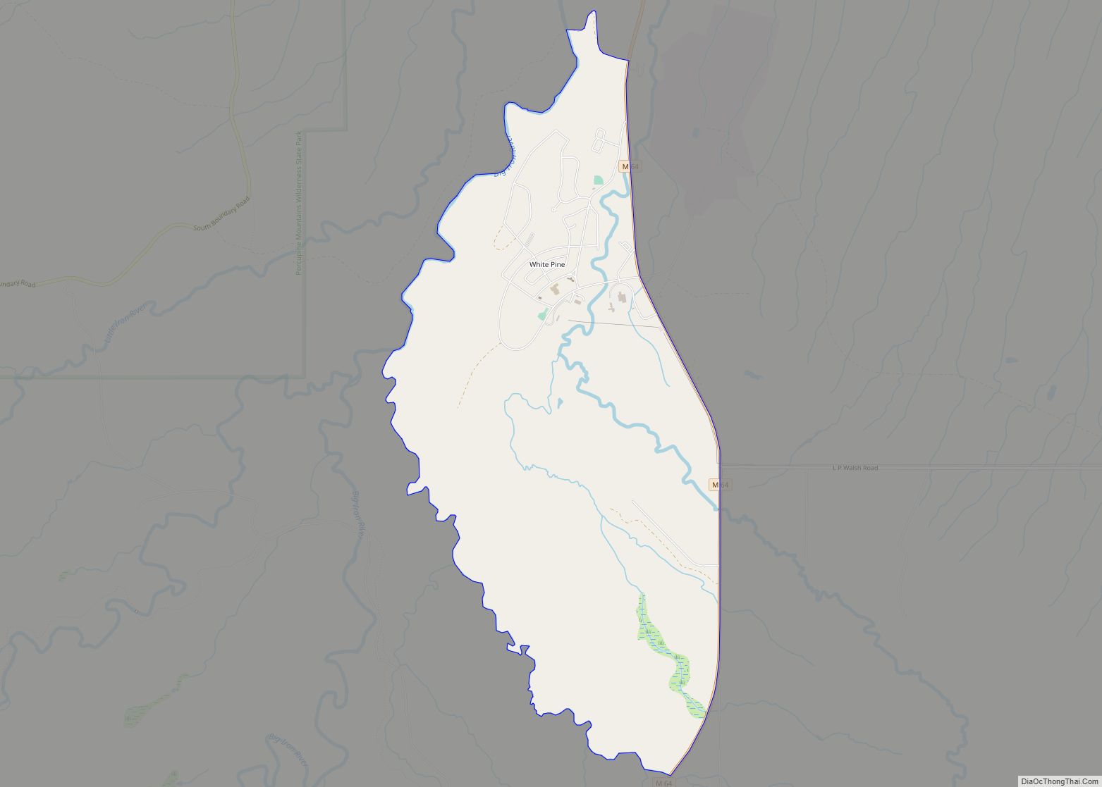
- M-64 – runs north–south through center part of county. Enters south line on west side of Lake Gogebic; runs north to Lake Superior shoreline. Runs NE along shoreline to terminus at Ontonagon.
Airport
Ontonagon County Airport (KOGM) serves the county and surrounding communities.
Adjacent counties
- Keweenaw County – northeast
- Houghton County – east
- Iron County – southeast/CST Border
- Gogebic County – south/CST Border
- Ashland County, Wisconsin – west/CST Border
- Cook County, Minnesota – northwest/CST Border
National protected areas
- Keweenaw National Historical Park (part)
- Ottawa National Forest (part)
Ontonagon County Topographic Map
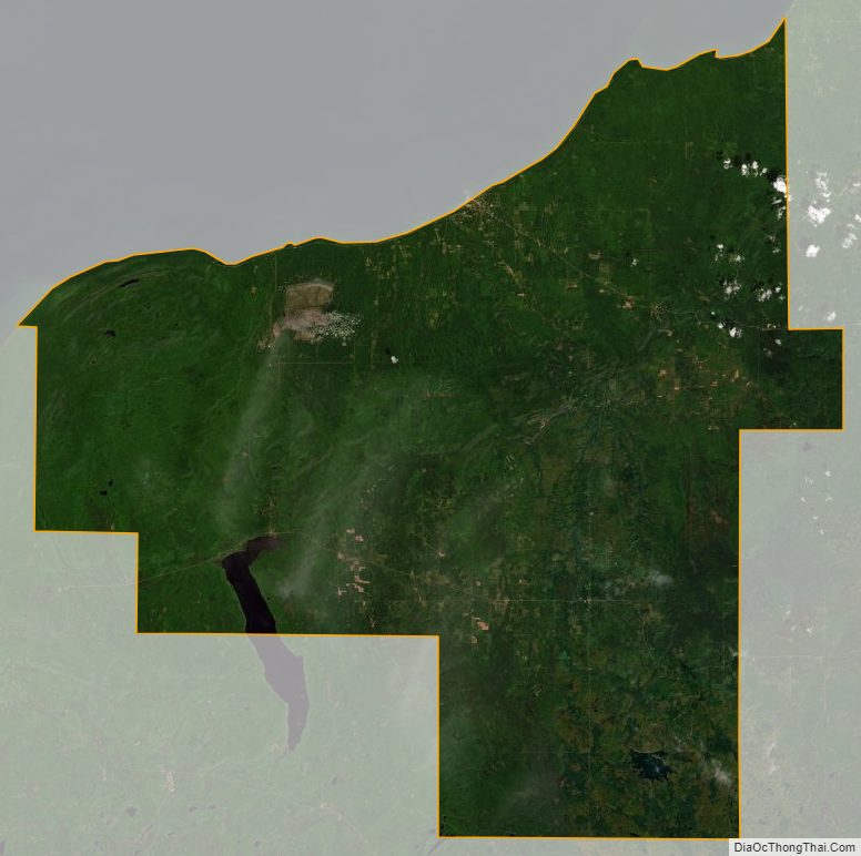
Ontonagon County Satellite Map
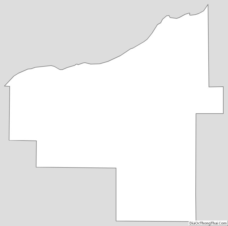
Ontonagon County Outline Map