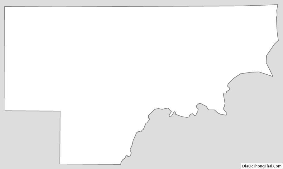
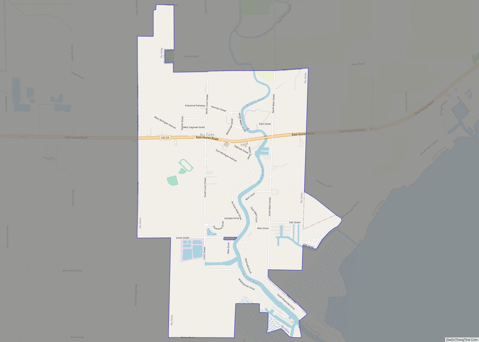
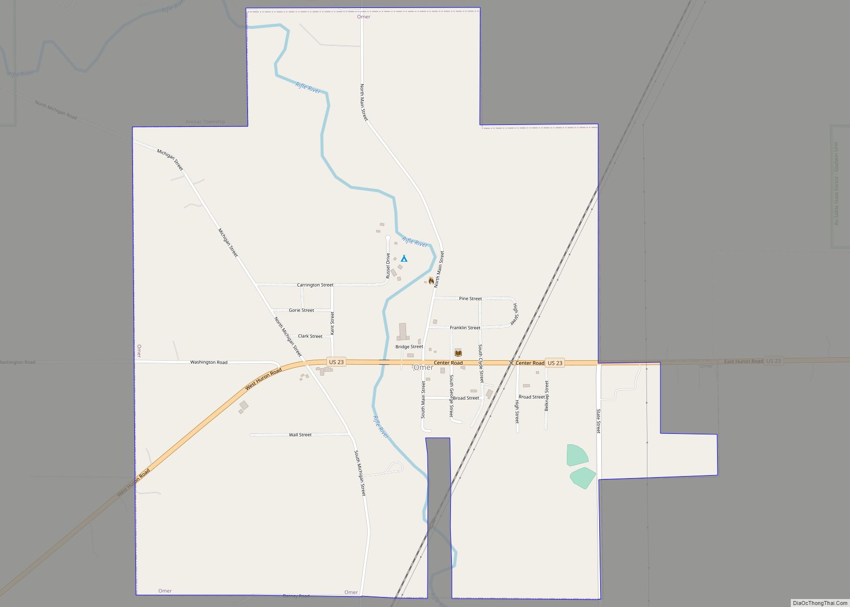
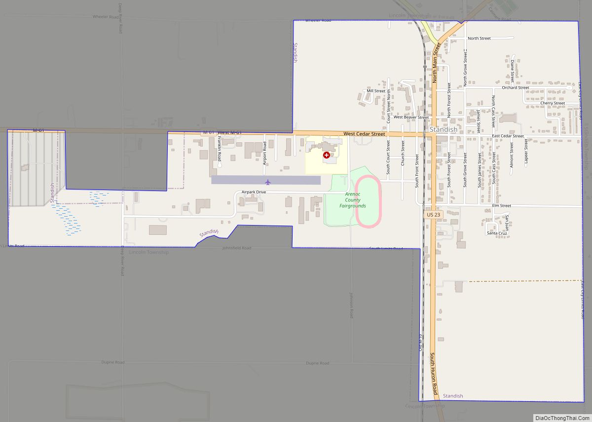
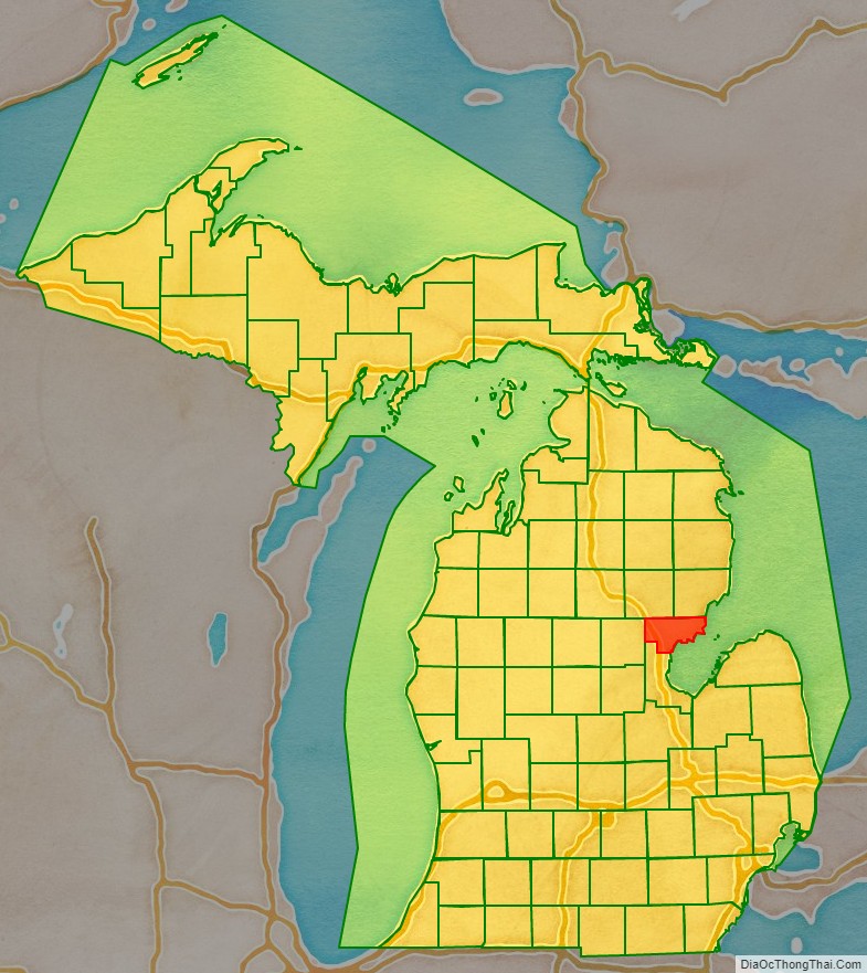
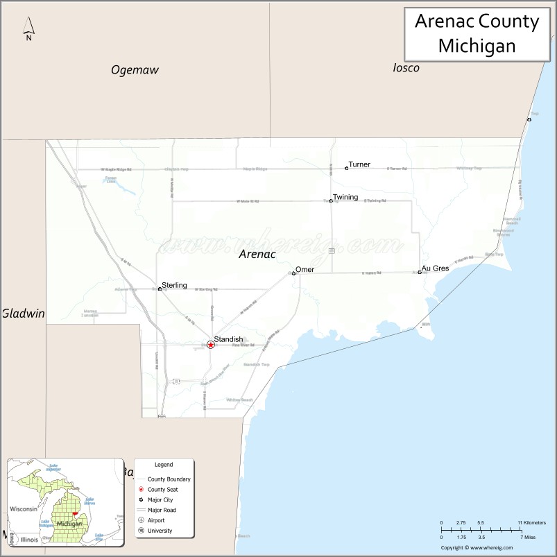
Arenac County (/ˈɛərənæk/ AIR-ə-nak) is a county located in the U.S. state of Michigan. As of the 2020 Census, the population was 15,002. The county seat is Standish.
| Name: | Arenac County |
|---|---|
| FIPS code: | 26-011 |
| State: | Michigan |
| Founded: | 1883 |
| Seat: | Standish |
| Largest city: | Standish |
| Total Area: | 681 sq mi (1,760 km²) |
| Land Area: | 363 sq mi (940 km²) |
| Total Population: | 15,002 |
| Population Density: | 44/sq mi (17/km²) |
| Time zone: | UTC−5 (Eastern) |
| Summer Time Zone (DST): | UTC−4 (EDT) |
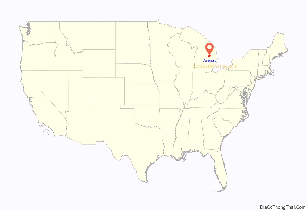
Arenac County location map. Where is Arenac County?
History
Arenac County was organized in 1883. The name Arenac, coined by Henry Rowe Schoolcraft, a US Indian Agent and ethnologist, is a derivation of the Latin arena and the Native American ac. The combined words mean “A sandy place for a good footing.”
The county includes some off-reservation trust lands held by the federal government for the federally recognized Saginaw Chippewa Tribal Nation, which is based in Isabella County. In early 2007, plans were confirmed for a casino to be constructed outside of the city of Standish with a scheduled opening by the end of the year. It is owned and operated by the Saginaw Chippewa Tribe. The Saganing Eagles Landing Casino grand opening was held on January 24, 2008.
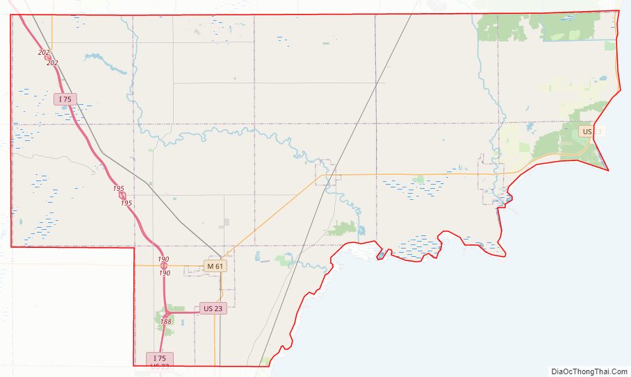
Arenac County Road Map
Geography
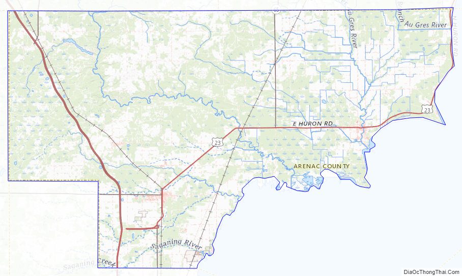
According to the U.S. Census Bureau, the county has a total area of 681 square miles (1,760 km), of which 363 square miles (940 km) is land and 317 square miles (820 km) (47%) is water. It is the third-smallest county in Michigan by land area. Arenac County can be considered a part of either Northern Michigan or Central Michigan.
Geographic features
- Saginaw Bay on Lake Huron
- Au Gres River
- Rifle River
- Pine River (Arenac County)
Major highways
- I-75
- US 23
- M-13
- M-33
- M-61
- M-65
Adjacent counties
By land
- Iosco County (northeast)
- Bay County (south)
- Gladwin County (west)
- Ogemaw County (northwest)
By water
- Tuscola County (south)
- Huron County (southeast)
National protected area
- Michigan Islands National Wildlife Refuge (part)
Arenac County Topographic Map
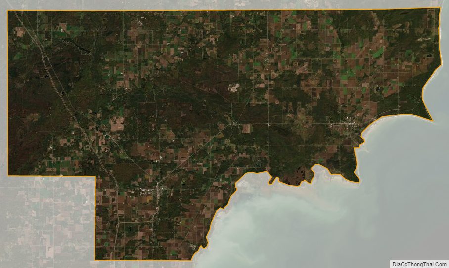
Arenac County Satellite Map
Arenac County Outline Map