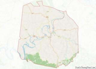
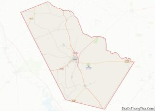
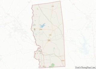
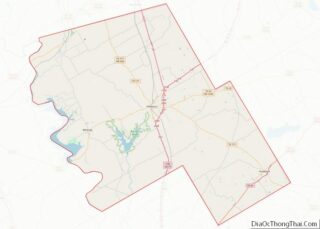
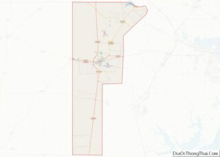
Map of Chaves County, New Mexico
Chaves County is a county in New Mexico, United States. As of the 2020 census, the population was 65,157. Its county seat is Roswell. Chaves County was named for Colonel Jose Francisco Chaves, a military leader there during the Civil War and later in Navajo campaigns. The county was created by the New Mexico Territorial ... Read more
Map of Chaves County, New Mexico
Map of Mora County, New Mexico
Mora County (Spanish: Condado de Mora) is a county in the U.S. state of New Mexico. As of the 2010 census, the population was 4,881. Its county seat is the census-designated place (CDP) Mora. The county has another CDP, Watrous, a village, Wagon Mound, and 12 smaller unincorporated settlements. Mora became a formal county in ... Read more
Map of Mora County, New Mexico
Map of Allegany County, New York
Allegany County is a county in the Southern Tier of the U.S. state of New York. As of the 2020 census, the population was 46,456. Its county seat is Belmont. Its name derives from a Lenape word, applied by European-American settlers of Western New York State to a trail that followed the Allegheny River; they ... Read more
Map of Allegany County, New York
Map of Fulton County, New York
Fulton County is a county in the U.S. state of New York. It forms part of the state’s Mohawk Valley region. Its county seat is Johnstown. At the 2020 U.S. census, the county had a population of 53,324. The county is named in honor of Robert Fulton, who is widely credited with developing the first ... Read more
Map of Fulton County, New York
Map of Oneida County, New York
Oneida County is a county in the state of New York, United States. As of the 2020 census, the population was 232,125. The county seat is Utica. The name is in honor of the Oneida, one of the Five Nations of the Iroquois League or Haudenosaunee, which had long occupied this territory at the time ... Read more
Map of Oneida County, New York
Map of Schuyler County, New York
Schuyler County is a county in the U.S. state of New York. As of the 2020 census, the population was 17,898, making it the second-least populous county in New York. The county seat is the village of Watkins Glen. The name is in honor of General Philip Schuyler, one of the four major generals in ... Read more
Map of Schuyler County, New York
Map of Alleghany County, North Carolina
Alleghany County (/ælɪˈɡeɪniː/) is a county located in the U.S. state of North Carolina. As of the 2020 census, the population was 10,888. Its county seat is Sparta. Alleghany County overview: Name: Alleghany County FIPS code: 37-005 State: North Carolina Founded: 1859 Named for: Allegheny Mountains Seat: Sparta Largest town: Sparta Total Area: 237 sq mi (610 km²) ... Read more
Map of Alleghany County, North Carolina
Map of Chatham County, North Carolina
Chatham County (locally /ˈtʃætəm/ CHAT-əm) is a county located in the Piedmont area of the U.S. state of North Carolina. As of the 2020 census, the population was 76,285. Its county seat is Pittsboro. Chatham County is part of the Durham-Chapel Hill, NC Metropolitan Statistical Area, which is also included in the Raleigh-Durham-Chapel Hill Combined ... Read more
Map of Chatham County, North Carolina
Map of Franklin County, North Carolina
Franklin County is a county located in the U.S. state of North Carolina. As of the 2020 census, the population was 68,573. Its county seat is Louisburg. Franklin County is included in the Raleigh, NC Metropolitan Statistical Area, which is also included in the Raleigh-Durham-Chapel Hill, NC Combined Statistical Area, which had a 2019 estimated ... Read more
Map of Franklin County, North Carolina
Map of Johnston County, North Carolina
Johnston County is a county located in the U.S. state of North Carolina. As of the 2020 census, the population was 215,999. Its county seat is Smithfield. Johnston County is included in the Raleigh, NC Metropolitan Statistical Area, which is also included in the Raleigh–Durham–Chapel Hill, NC Combined Statistical Area, which has a population of ... Read more
Map of Johnston County, North Carolina
Map of Onslow County, North Carolina
Onslow County is a county located in the U.S. state of North Carolina. As of the 2020 census, the population was 204,576. Its county seat is Jacksonville. The county was created in 1734 as Onslow Precinct and gained county status in 1739. Onslow County comprises the Jacksonville, NC Metropolitan Statistical Area. The southern border is ... Read more
Map of Onslow County, North Carolina
Map of Scotland County, North Carolina
Scotland County is a county located in the southern part of the U.S. state of North Carolina and is its smallest county by area. Its county seat is and largest city is Laurinburg. The county was formed in 1899 from part of Richmond County and named in honor of the Scottish settlers who occupied the ... Read more
Map of Scotland County, North Carolina