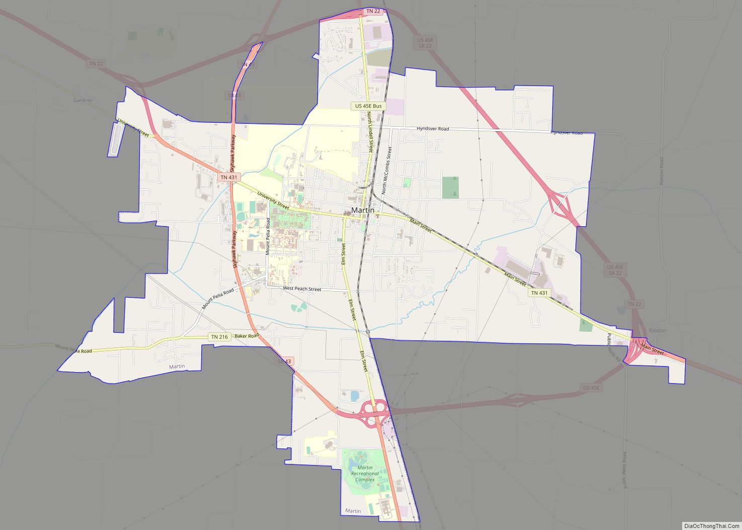
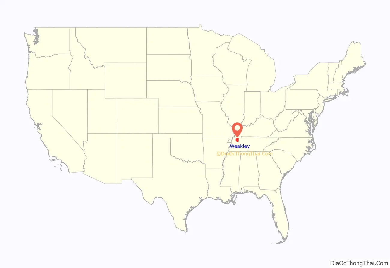
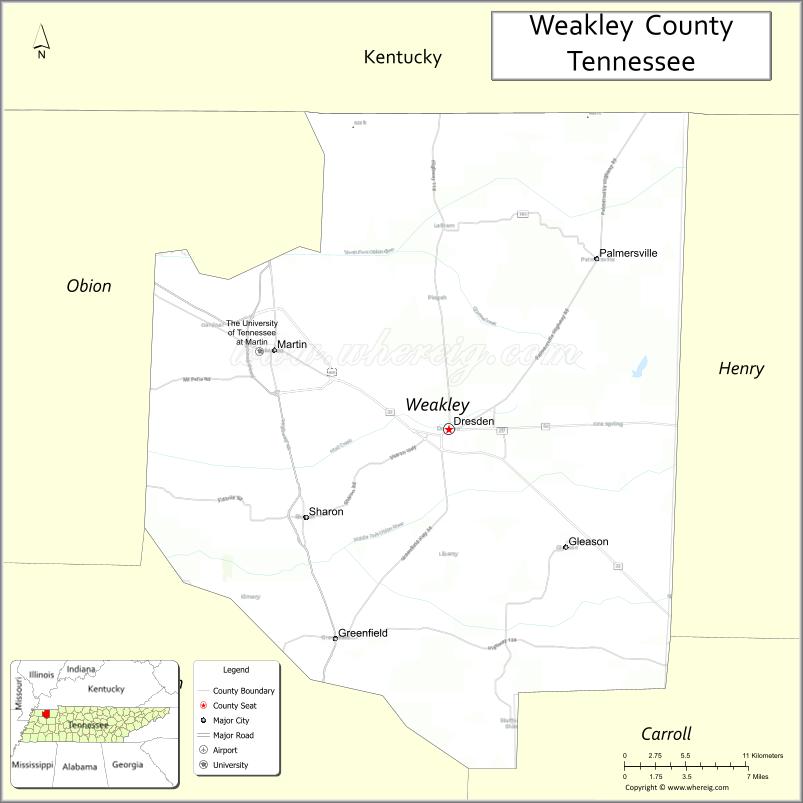
Weakley County is a county located in the northwest of the U.S. state of Tennessee. As of the 2020 census, the population was 32,902. Its county seat is Dresden. Its largest city is Martin, the home of the University of Tennessee at Martin. The county was established by the Tennessee General Assembly on October 21, 1823, and is named for U.S. Congressman Robert Weakley (1764–1845). Weakley County comprises the Martin, TN Micropolitan Statistical Area.
| Name: | Weakley County |
|---|---|
| FIPS code: | 47-183 |
| State: | Tennessee |
| Founded: | October 21, 1823 |
| Named for: | Robert Weakley |
| Seat: | Dresden |
| Largest city: | Martin |
| Total Area: | 582 sq mi (1,510 km²) |
| Land Area: | 580 sq mi (1,500 km²) |
| Total Population: | 32,902 |
| Population Density: | 56.5/sq mi (21.8/km²) |
| Time zone: | UTC−6 (Central) |
| Summer Time Zone (DST): | UTC−5 (CDT) |
| Website: | www.weakleycountytn.gov |
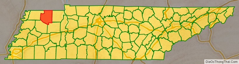
Weakley County location map. Where is Weakley County?
History
Weakley County was created in October 1823 from some of the land that the Chickasaw people ceded to the United States in the Treaty of 1818. The county was named after Colonel Robert Weakley, a member of the House of Representatives, a speaker of the State Senate, and the man commissioned to treat (negotiate) with the Chickasaw.
During the 19th century, the county was the state’s largest corn producer. By the latter half of the 20th century, soybeans became the county’s leading crop.
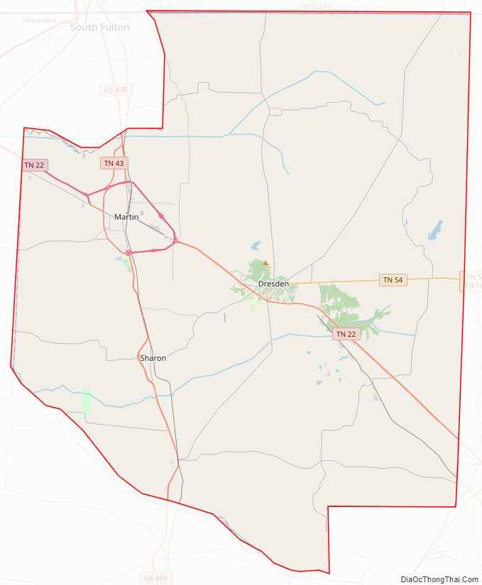
Weakley County Road Map
Geography
According to the U.S. Census Bureau, the county has a total area of 582 square miles (1,510 km), of which 580 square miles (1,500 km) is land and 1.4 square miles (3.6 km) (0.2%) is water. The North Fork of the Obion River flows through the northern half of the county, the Middle Fork flows across the central portion of the county, and the South Fork flows across the southern part of the county. The Obion is a tributary of the Mississippi River.
Adjacent counties
- Hickman County, Kentucky (northwest)
- Graves County, Kentucky (north)
- Henry County (east)
- Carroll County (southeast)
- Gibson County (southwest)
- Obion County (west)
State protected areas
- Bean Switch Refuge
- Big Cypress Tree State Natural Area
- Big Cypress Tree State Park
- Harts Mill Wetland Wildlife Management Area (part)
- Obion River Wildlife Management Area (part)
Weakley County Topographic Map
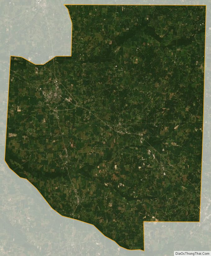
Weakley County Satellite Map
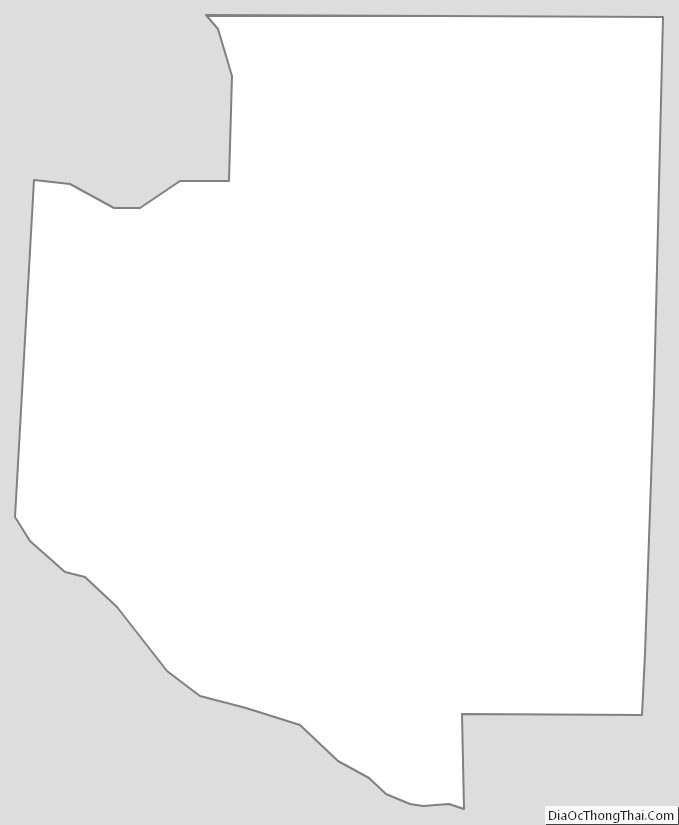
Weakley County Outline Map