Bee County is a county located in the U.S. state of Texas. It is in South Texas and its county seat is Beeville.
As of the 2020 census, the population was 31,047. The Beeville, TX Micropolitan Statistical Area includes all of Bee County.
The county was founded December 8, 1857, and organized the next year. It is named for Barnard E. Bee, Sr., a secretary of state of the Republic of Texas.
| Name: | Bee County |
|---|---|
| FIPS code: | 48-025 |
| State: | Texas |
| Founded: | 1858 |
| Named for: | Barnard E. Bee, Sr. |
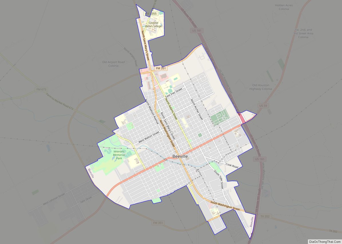
| Seat: | Beeville |
| Largest city: | Beeville |
| Total Area: | 880 sq mi (2,300 km²) |
| Land Area: | 880 sq mi (2,300 km²) |
| Total Population: | 31,047 |
| Population Density: | 35.3/sq mi (13.6/km²) |
| Time zone: | UTC−6 (Central) |
| Summer Time Zone (DST): | UTC−5 (CDT) |
| Website: | co.bee.tx.us |
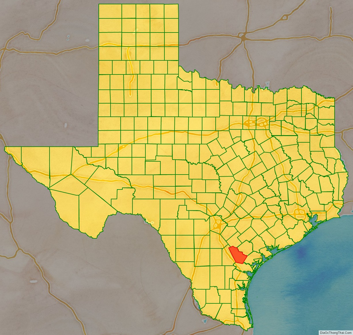
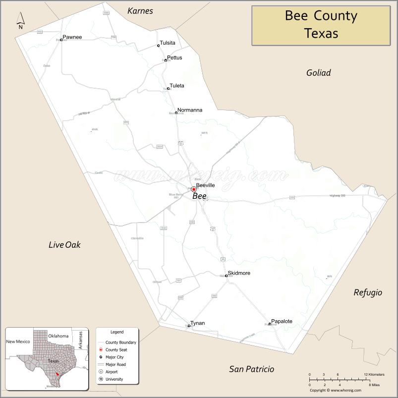
Bee County location map. Where is Bee County?

History
On December 8, 1857, the Texas Legislature formed Bee County from sections of Refugio, Live Oak, San Patricio, Goliad and Karnes counties, naming it for Colonel Barnard Elliot Bee who served the Republic of Texas as Sam Houston’s Secretary of War and Mirabeau B. Lamar’s Secretary of State.
During the Anglo-American land speculation of the 1830s, the area’s earliest settlers were mainly Irish immigrants, but by the late 1840s and early 1850s the rise of Jacksonian expansionism inspired Southern whites from the North and South Carolina, Louisiana and Mississippi to occupy and build settlements in the area.
As the constitution of the Republic of Texas no longer recognized the Catholic Church (or any church) as the state religion and slave-holding settlers came to dominate the area in the 1840s, small Methodist, Presbyterian and Baptist congregations began forming with sustained missionary support from these denominations. Research suggests that Baptists and Methodists comprised 65 percent of all Texas congregations by 1870.
Courthouse
The Bee County Courthouse was designed by the architect William Charles Stephenson, originally from Buffalo, New York. The original courthouse, completed in 1912, cost $72,000. He also sculpted the “Justice Is Blind” monument (In his own words, an “Enlightened Justice”) that tops the courthouse; he intentionally chose the “unblindfolded” concept. The structure uses the Chicago window style of a glass pane flanked by two narrow ones. It is classical with the grand portico having Corinthian columns at the entry.
Stephenson also designed the Rialto Theater in Beeville, now used for special occasion, not the running of films, which is located close to the Joe Barnhart Library. He helped construct the death mask of U.S. President William McKinley, who was assassinated in Buffalo in 1901. Stephenson also designed the courthouse in McMullen County, Texas and many other buildings, grand homes, schools, churches, and commercial buildings in and around Beeville.
Bee County Road Map
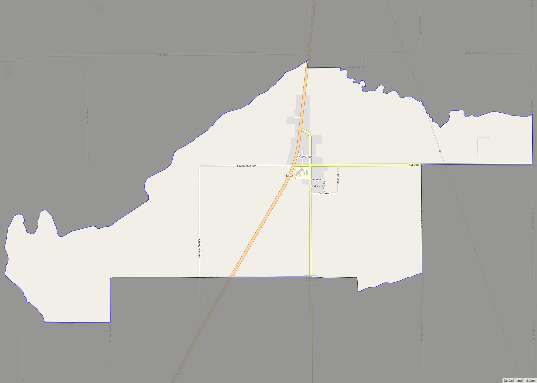
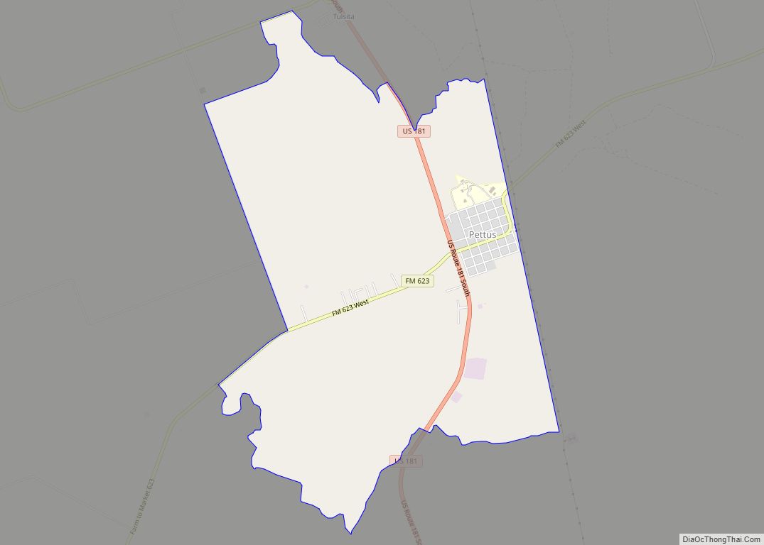
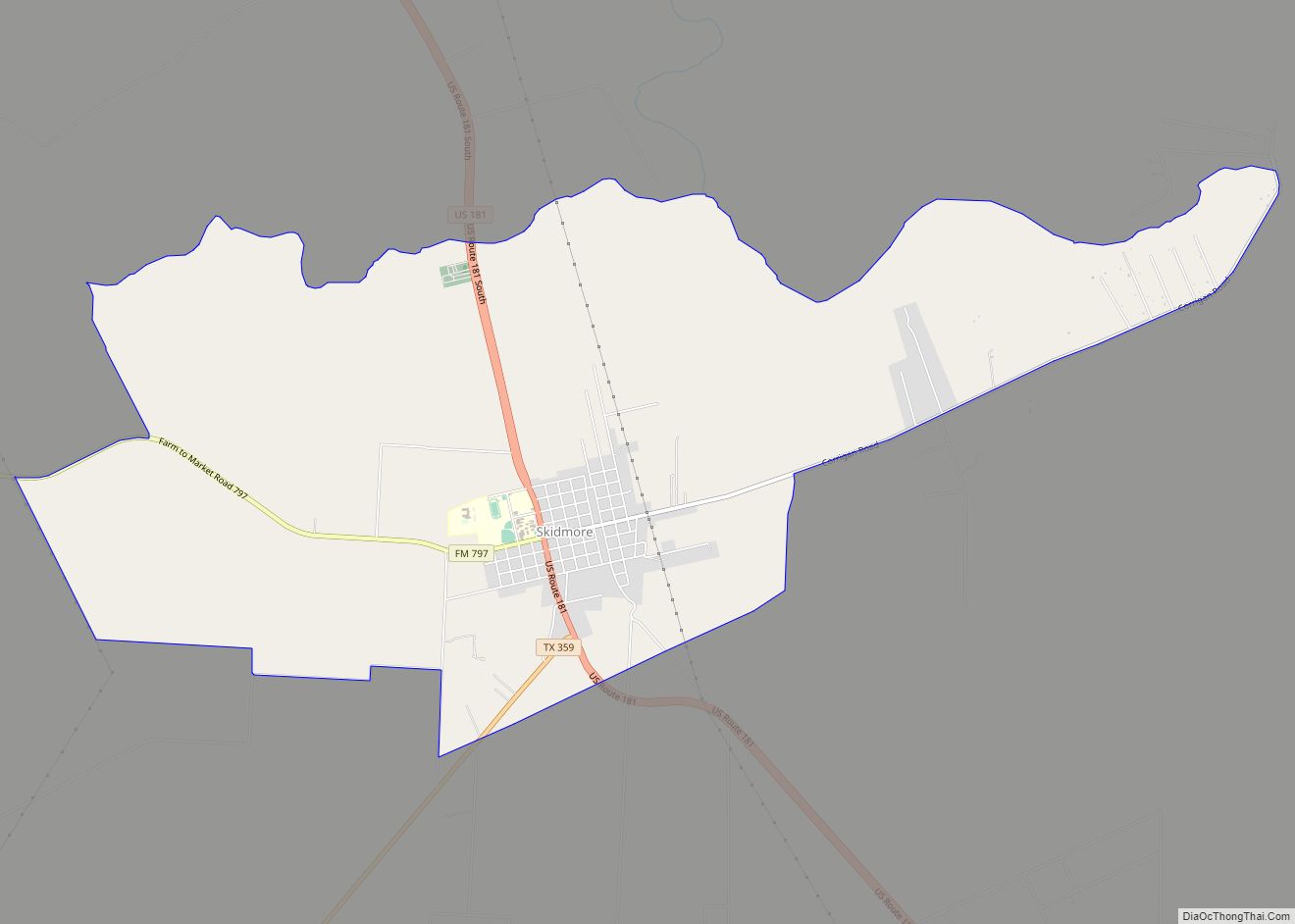
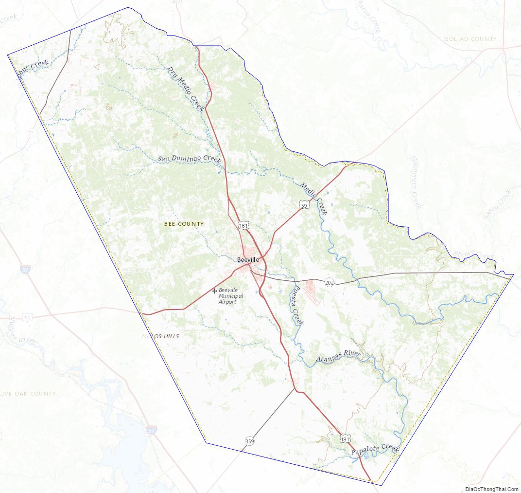
Geography
According to the U.S. Census Bureau, the county has a total area of 880 square miles (2,300 km), of which 880 square miles (2,300 km) are land and 0.1 square miles (0.26 km) (0.01%) is covered by water. The Aransas River forms in Bee County, southwest of Beeville and north of Skidmore.
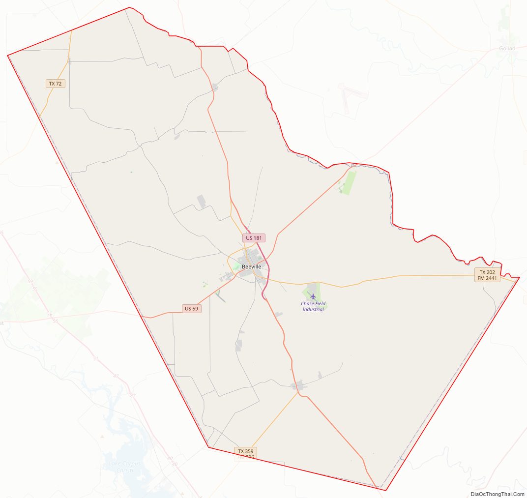
Major highways
- U.S. Highway 59
- Interstate 69W is currently under construction and will follow the current route of U.S. 59 in most places.
- U.S. Highway 181
- State Highway 72
- State Highway 202
- State Highway 359
- Farm to Market Road 673
- Farm to Market Road 799
- Farm to Market Road 833
Adjacent counties
- Karnes County (north)
- Goliad County (northeast)
- Refugio County (east)
- San Patricio County (southeast)
- Live Oak County (west)
Bee County Topographic Map
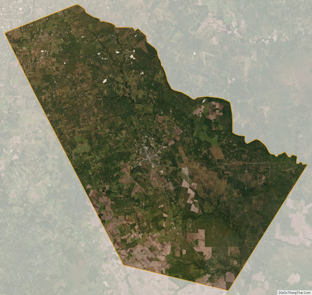
Bee County Satellite Map
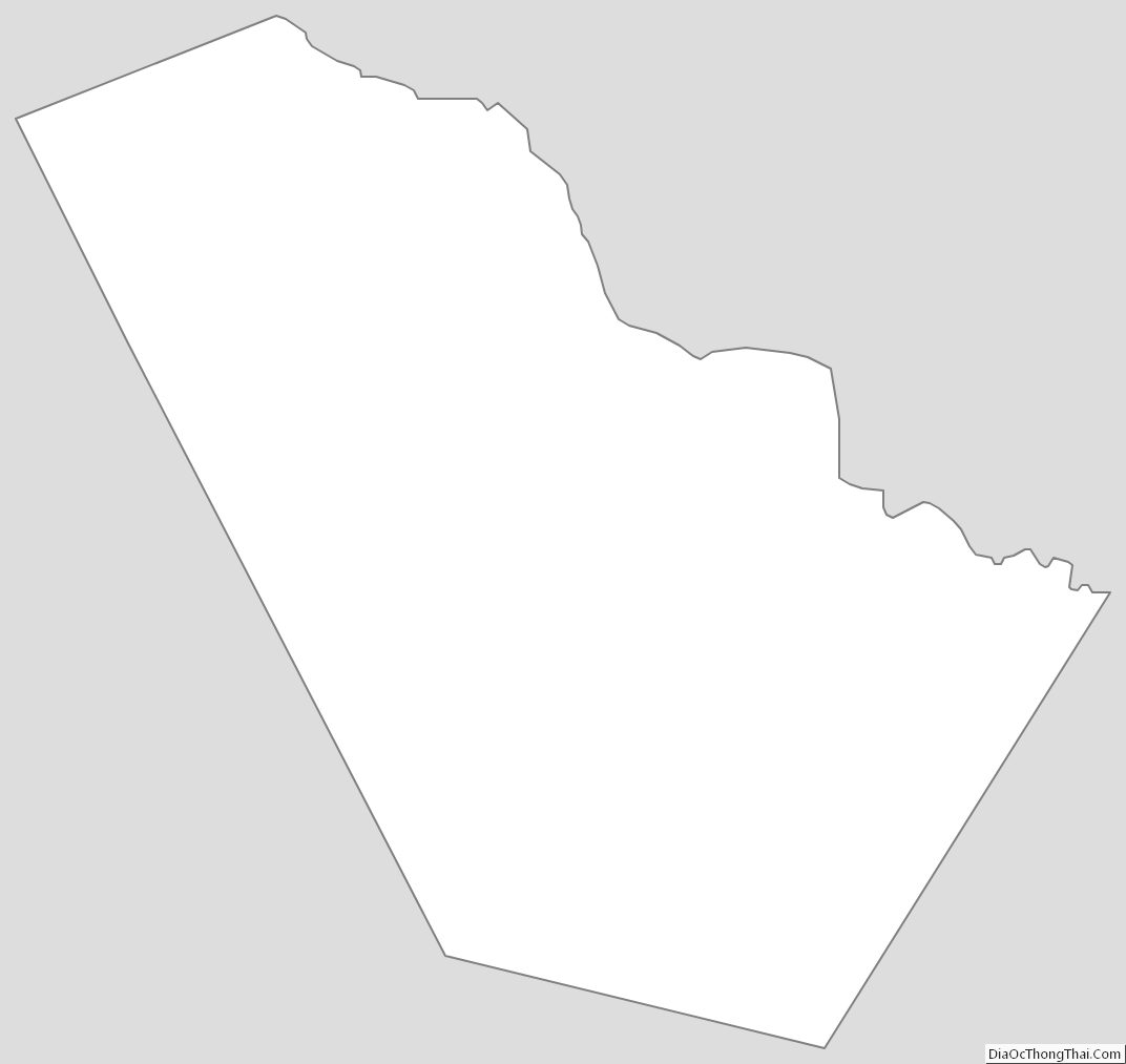
Bee County Outline Map