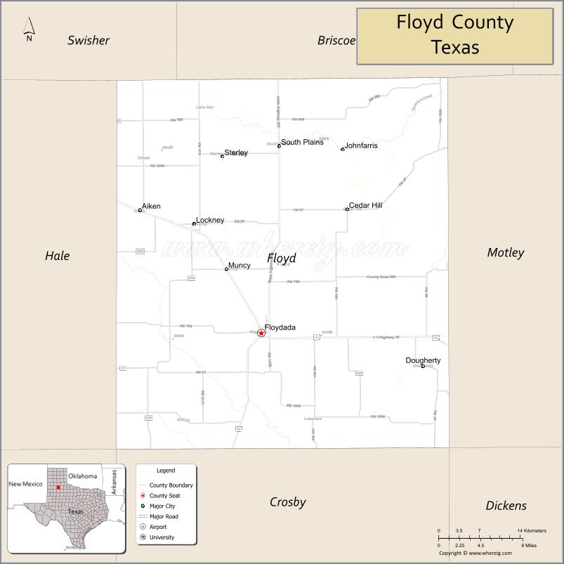
Floyd County is a county in the U.S. state of Texas. As of the 2020 census, its population was 5,402. The seat of the county is Floydada. The county was created in 1876 and later organized in 1890. It is named for Dolphin Ward Floyd, who died on his 32nd birthday, March 6, 1836, defending the Alamo.
The Matador Ranch, based in Motley County, once reached into Floyd County, as well.
| Name: | Floyd County |
|---|---|
| FIPS code: | 48-153 |
| State: | Texas |
| Founded: | 1890 |
| Named for: | Dolphin Ward Floyd |
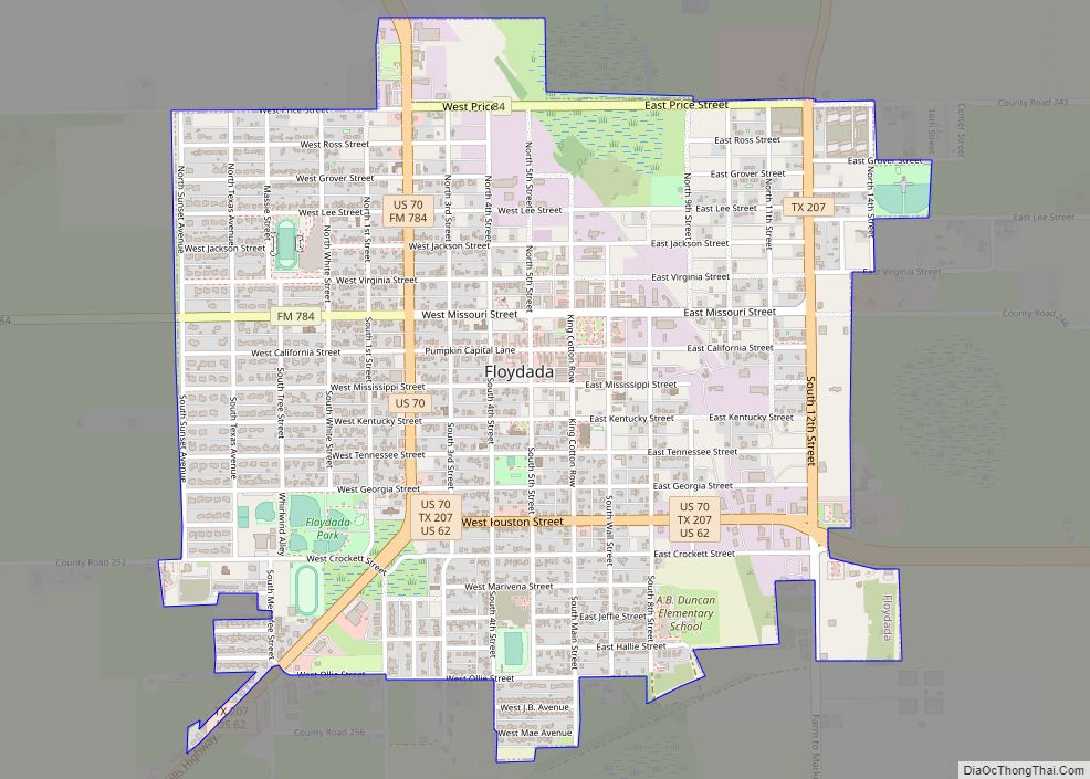
| Seat: | Floydada |
| Largest city: | Floydada |
| Total Area: | 993 sq mi (2,570 km²) |
| Land Area: | 992 sq mi (2,570 km²) |
| Total Population: | 5,402 |
| Population Density: | 5.4/sq mi (2.1/km²) |
| Time zone: | UTC−6 (Central) |
| Summer Time Zone (DST): | UTC−5 (CDT) |
| Website: | www.co.floyd.tx.us |
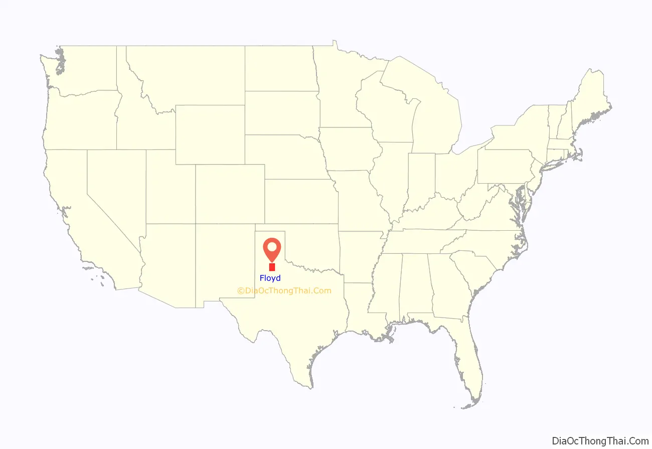
Floyd County location map. Where is Floyd County?
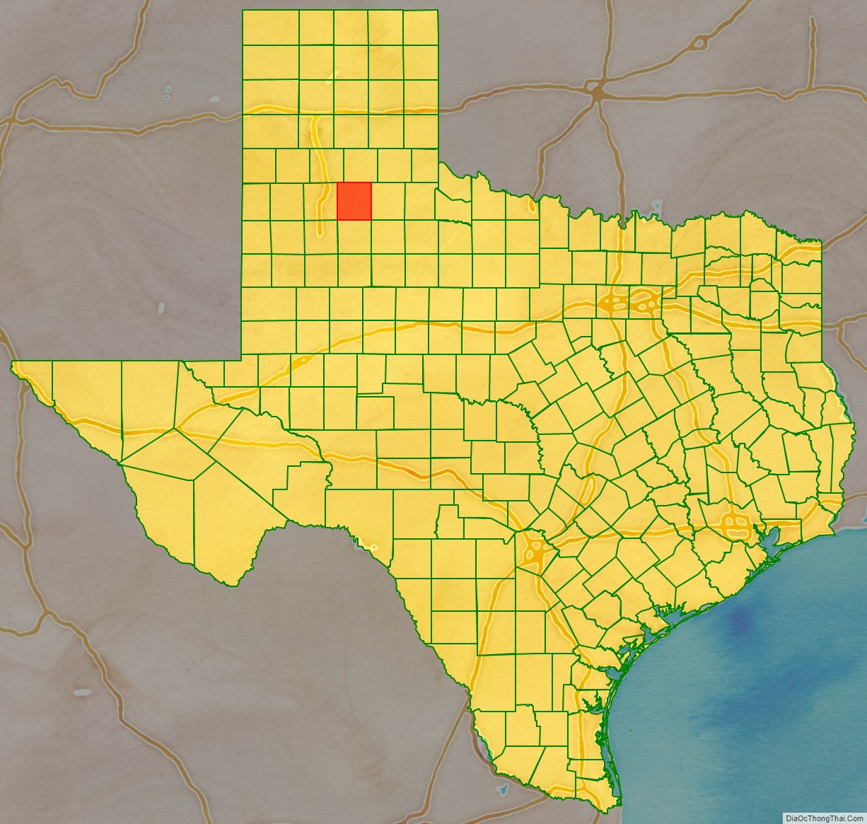
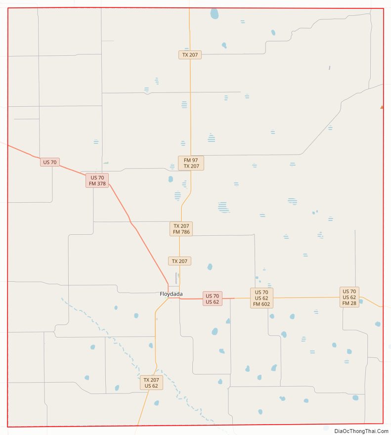
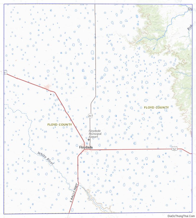
Floyd County Road Map
Geography
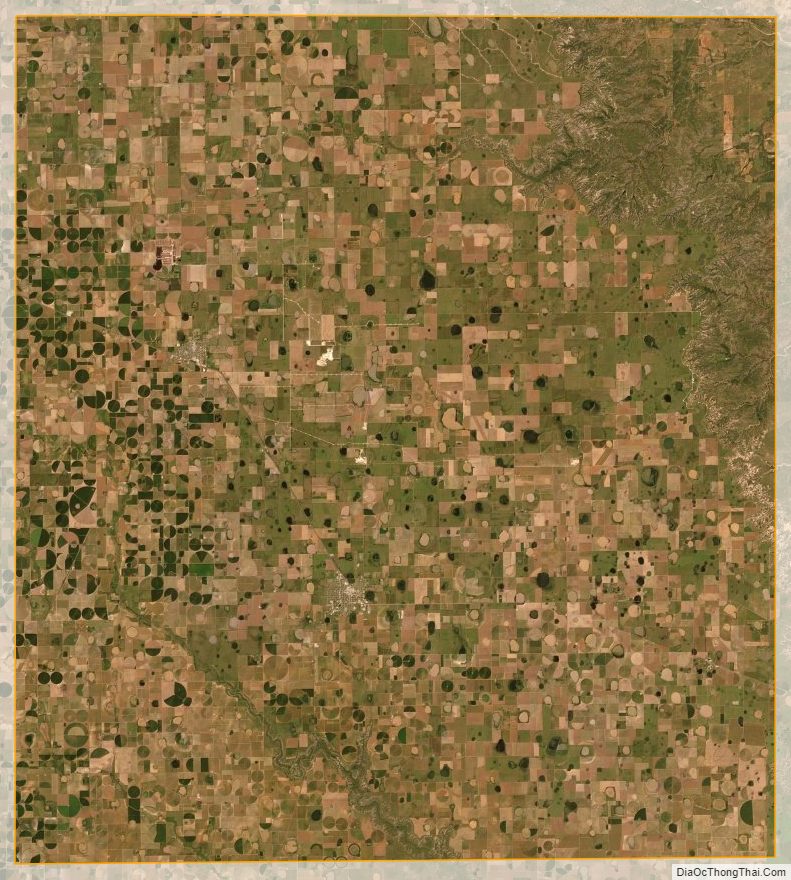
According to the U.S. Census Bureau, the county has a total area of 993 square miles (2,570 km), of which 992 square miles (2,570 km) are land and 0.4 square miles (1.0 km) (0.04%) is covered by water.
Major highways
- U.S. Highway 62
- U.S. Highway 70
- State Highway 207
Adjacent counties
- Briscoe County (north)
- Motley County (east)
- Dickens County (southeast)
- Crosby County (south)
- Lubbock County (southwest)
- Hale County (west)
- Swisher County (northwest)
Floyd County Topographic Map
Floyd County Satellite Map
Floyd County Outline Map