Jackson County is a county located in the U.S. state of Tennessee. The population was 11,617 at the 2020 census. Its county seat is Gainesboro. Jackson is part of the Cookeville Micropolitan Statistical Area.
| Name: | Jackson County |
|---|---|
| FIPS code: | 47-087 |
| State: | Tennessee |
| Founded: | 1801 |
| Named for: | Andrew Jackson |
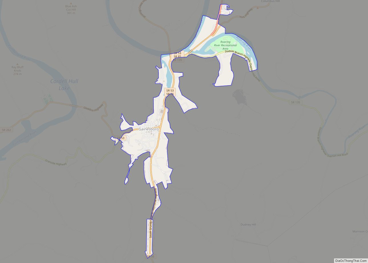
| Seat: | Gainesboro |
| Largest town: | Gainesboro |
| Total Area: | 320 sq mi (800 km²) |
| Land Area: | 308 sq mi (800 km²) |
| Total Population: | 11,617 |
| Population Density: | 38/sq mi (15/km²) |
| Time zone: | UTC−6 (Central) |
| Summer Time Zone (DST): | UTC−5 (CDT) |
| Website: | www.jacksoncotn.com |
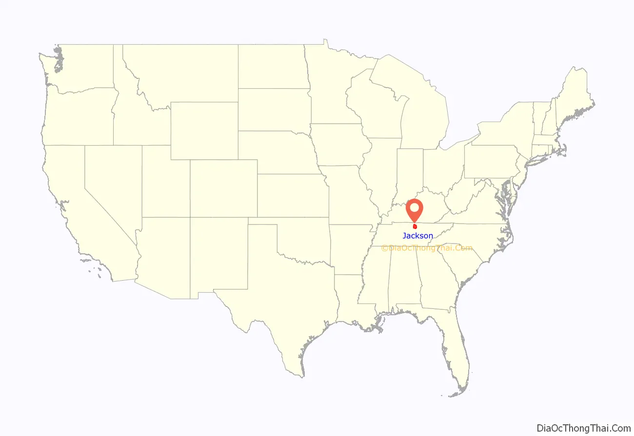
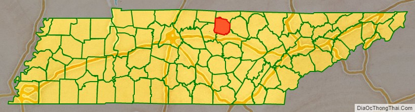
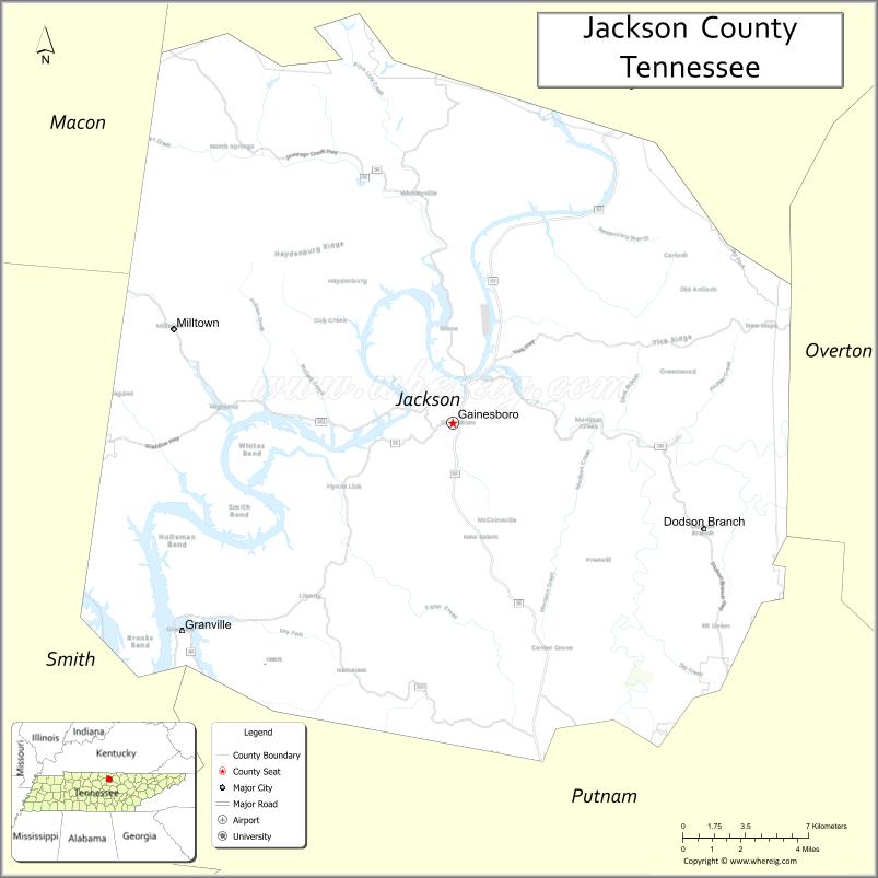
Jackson County location map. Where is Jackson County?
History
Jackson County was created by an act of the Tennessee General Assembly on November 6, 1801. It was the 18th county established in the state. It was formed from part of Smith County plus Indian lands. The name honors Andrew Jackson, who by 1801 had already served as a U.S. Congressman and Senator from Tennessee, a Tennessee Supreme Court justice, and a colonel in the Tennessee militia. He became more widely known as commander at the Battle of New Orleans and as the seventh President of the United States.
In the 1790s, an Army outpost named Fort Blount was built 10 miles (16 km) west of Gainesboro on the Cumberland River, in what is now western Jackson County. Fort Blount was an important stop for travelers on Avery’s Trace. Williamsburg, a town developed around the fort, served as the Jackson County seat from 1807 to 1819. The county’s early records were all lost in a disastrous courthouse fire on August 14, 1872.
The 1970 Movie “I Walk The Line” starring Gregory Peck was filmed in Gainesboro and Jackson County.
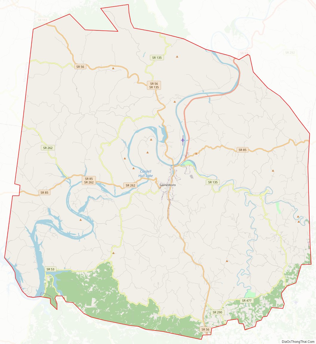
Jackson County Road Map
Geography
According to the U.S. Census Bureau, the county has a total area of 320 square miles (830 km), of which 308 square miles (800 km) is land and 11 square miles (28 km) (3.5%) is water.
Adjacent counties
- Clay County (north)
- Overton County (east)
- Putnam County (south)
- Smith County (southwest)
- Macon County (northwest)
State protected areas
- The Boils Wildlife Management Area
- Cummins Falls State Park
- Cordell Hull Wildlife Management Area (part)
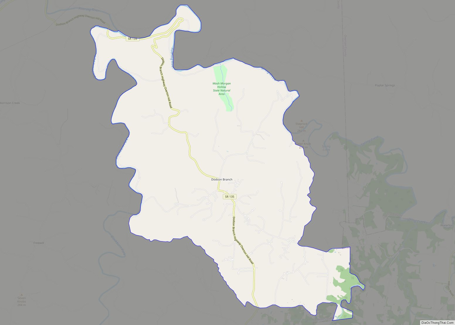
- Washmorgan Hollow State Natural Area
Highways
- SR 53
- SR 56
- SR 85
- SR 96
- SR 151
- SR 135
- SR 262
- SR 290
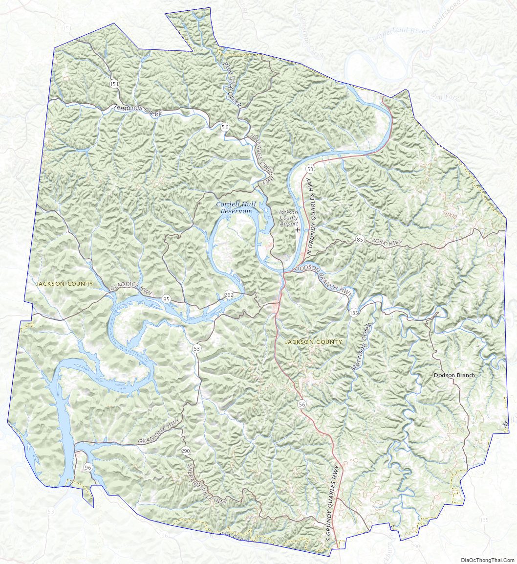
Jackson County Topographic Map
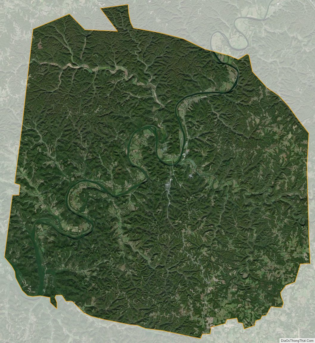
Jackson County Satellite Map
Jackson County Outline Map