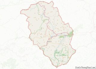
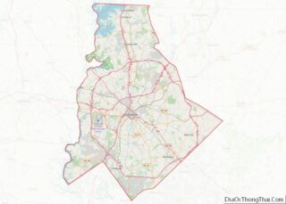
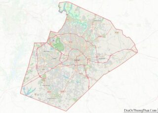
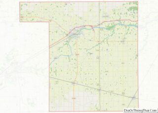
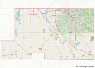
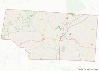
Map of Porter County

Map of Porter County, Indiana

Porter County is a county in the U.S. state of Indiana. As of 2020, the population was 173,215, making it the 10th most populous county in Indiana. The county seat is Valparaiso. The county is part of Northwest Indiana, as well as the Chicago metropolitan area. Porter County is the site of much of the … Read more

Map of Tipton County

Map of Tipton County, Indiana

Tipton County is a county in the U.S. state of Indiana, located north of the state capital of Indianapolis. According to the 2010 census, it had a population of 15,936, a decrease of 3.9% from its 2000 population of 16,577. Its county seat is Tipton. The county has four incorporated towns with a total population … Read more

Map of Appanoose County

Map of Appanoose County, Iowa

Appanoose County is a county in the U.S. state of Iowa. As of the 2020 census, the population was 12,317. Its county seat is Centerville. Appanoose County overview: Name: Appanoose County FIPS code: 19-007 State: Iowa Founded: 1843 Named for: Chief Appanoose Seat: Centerville Largest city: Centerville Total Area: 516 sq mi (1,340 km²) Land Area: 497 sq mi (1,290 km²) … Read more

Map of Clarke County

Map of Clarke County, Iowa

Clarke County is a county located in the U.S. state of Iowa. As of the 2020 census, the population was 9,748. The county seat is Osceola. The county was formed in January 1846, one of twelve counties established by legislative action in a comprehensive act. It was named for James Clarke, a Governor of the … Read more

Map of Fremont County

Map of Fremont County, Iowa

Fremont County is a county located in the U.S. state of Iowa. As of the 2020 census the population was 6,605, making it the state’s seventh-least populous county. The county seat is Sidney. The county was formed in 1847 and named for the military officer John C. Fremont. Fremont County overview: Name: Fremont County FIPS … Read more

Map of Johnson County

Map of Johnson County, Iowa

Johnson County is located in the U.S. state of Iowa. As of the 2020 census, the population was 152,854, making it the fourth-most populous county in Iowa. The county seat is Iowa City, home of the University of Iowa. Johnson County is included in the Iowa City metropolitan area, which is also included in the … Read more

Map of Monroe County

Map of Monroe County, Iowa

Monroe County is a county located in the south central part of the U.S. state of Iowa. In the early 20th century, it was a center of bituminous coal mining and in 1910 had a population of more than 25,000. As mining declined, people moved elsewhere for work. In the 2020 census, the population was … Read more

Map of Sioux County

Map of Sioux County, Iowa

Sioux County is a county located in the U.S. state of Iowa. As of the 2020 census, the population was 35,872. Its county seat is Orange City. Its largest city is Sioux Center. Sioux County overview: Name: Sioux County FIPS code: 19-167 State: Iowa Founded: 1851 Named for: Sioux people Seat: Orange City Largest city: … Read more

Map of Allen County

Map of Allen County, Kansas

Allen County (county code AL) is a county located in the southeast portion of the U.S. state of Kansas. It is 504 square miles, or 322,560 acres in size. As of the 2020 census, the population was 12,526. Its county seat and most populous city is Iola. Allen County overview: Name: Allen County FIPS code: … Read more

Map of Comanche County

Map of Comanche County, Kansas

Comanche County (county code CM) is a county located in the U.S. state of Kansas. As of the 2020 census, the county population was 1,689. Its county seat and most populous city is Coldwater. The county is named after the Comanche Native Americans. Comanche County overview: Name: Comanche County FIPS code: 20-033 State: Kansas Founded: … Read more

Map of Graham County

Map of Graham County, Kansas

Graham County (county code GH) is a county located in the U.S. state of Kansas. As of the 2020 census, the county population was 2,415. Its county seat and most populous city is Hill City. The county is home to Nicodemus, founded 1877, which is the only remaining western town established by African Americans during … Read more

Map of Kiowa County

Map of Kiowa County, Kansas

Kiowa County (standard abbreviation: KW) is a county located in the U.S. state of Kansas. As of the 2020 census, the county population was 2,460. The largest city and county seat is Greensburg. Kiowa County overview: Name: Kiowa County FIPS code: 20-097 State: Kansas Founded: February 26, 1867 Named for: Kiowa tribe Seat: Greensburg Largest … Read more