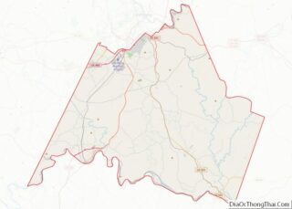
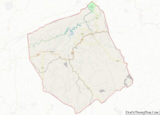
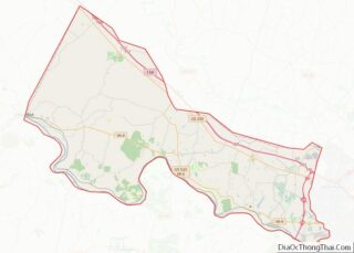
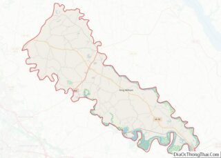
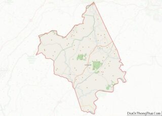
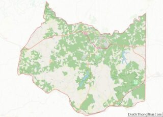
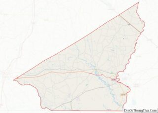
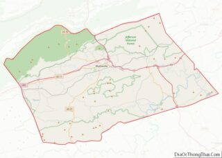
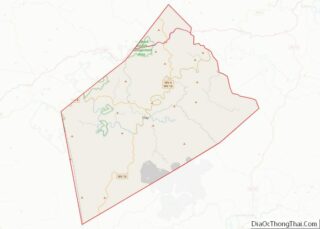
Map of Eureka County, Nevada
Eureka County is a county in the U.S. state of Nevada. As of the 2020 census, the population was 1,855, making it the second-least populous county in Nevada. Its county seat is Eureka. Eureka County is part of the Elko Micropolitan Statistical Area. Eureka County overview: Name: Eureka County FIPS code: 32-011 State: Nevada Founded: ... Read more
Map of Eureka County, Nevada
Map of Hillsborough County, New Hampshire
Hillsborough County is the most populous county in the U.S. state of New Hampshire. As of the 2020 census, the population was 422,937, almost one-third the population of the entire state. Its county seats are Manchester and Nashua, the state’s two biggest cities. Hillsborough is northern New England’s most populous county as well as its ... Read more
Map of Hillsborough County, New Hampshire
Map of Middlesex County, New Jersey
Middlesex County overview: Name: Middlesex County FIPS code: 34-023 State: New Jersey Founded: 1683 Named for: Historic English county of Middlesex Seat: New Brunswick Largest city: Edison (population)Monroe Township (area) Total Area: 322.83 sq mi (836.1 km²) Land Area: 308.91 sq mi (800.1 km²) Total Population: 863,162 (3rd in NJ) Population Density: 2,794.2/sq mi (1,078.8/km²) Time zone: UTC−5 (Eastern) Summer Time Zone ... Read more
Map of Middlesex County, New Jersey
Map of De Baca County, New Mexico
De Baca County is a county in the U.S. state of New Mexico. As of the 2010 census, the population was 2,022, making it New Mexico’s second-least populous county. Its county seat is Fort Sumner. The county is named for Ezequiel Cabeza De Baca, the second elected Governor of New Mexico. De Baca County overview: ... Read more
Map of De Baca County, New Mexico
Map of Roosevelt County, New Mexico
Roosevelt County is a county located in the U.S. state of New Mexico. As of the 2010 census, the population was 19,846. Its county seat is Portales. The county was created in 1903 from Chaves and Guadalupe counties and named for the then-current President of the United States, Theodore Roosevelt. The county’s eastern border is ... Read more
Map of Roosevelt County, New Mexico
Map of Cayuga County, New York
Cayuga County is a county in the U.S. state of New York. As of the 2020 census, the population was 76,248. Its county seat and largest city is Auburn. The county was named for the Cayuga people, one of the Native American tribes in the Iroquois Confederation. Cayuga County comprises the Auburn, NY Micropolitan Statistical ... Read more
Map of Cayuga County, New York
Map of Herkimer County, New York
Herkimer County is a county in the U.S. state of New York. As of the 2020 census, the population was 60,139. Its county seat is Herkimer. The county was created in 1791 north of the Mohawk River out of part of Montgomery County. It is named after General Nicholas Herkimer, who died from battle wounds ... Read more
Map of Herkimer County, New York
Map of Orleans County, New York
Orleans County is a county in the western part of the U.S. state of New York. As of the 2020 census, the population was 40,343. The county seat is Albion. The county received its name at the insistence of Nehemiah Ingersoll though historians are unsure how the name was selected. The two competing theories are ... Read more
Map of Orleans County, New York
Map of Sullivan County, New York
Sullivan County is a county in the U.S. state of New York. As of the 2020 census, the population was 78,624. The county seat is Monticello. The county’s name honors Major General John Sullivan, who was labeled at the time as a hero in the American Revolutionary War in part due to his successful campaign ... Read more
Map of Sullivan County, New York
Map of Beaufort County, North Carolina
Beaufort County is a county located in the U.S. state of North Carolina. As of the 2020 census, the population was 44,652. Its county seat is Washington. The county was founded in 1705 as Pamptecough Precinct. Originally included in Bath County, it was renamed Beaufort Precinct in 1712 and became Beaufort County in 1739. Beaufort ... Read more
Map of Beaufort County, North Carolina
Map of Cleveland County, North Carolina
Cleveland County is a county located in the foothills of the Blue Ridge Mountains and the western Piedmont, on the southern border of the U.S. state of North Carolina. As of the 2020 census, the population was 99,519. Its county seat is Shelby. Cleveland County comprises the Shelby, NC Micropolitan Statistical Area. It is included ... Read more
Map of Cleveland County, North Carolina
Map of Granville County, North Carolina
Granville County is a county located on the northern border of the U.S. state of North Carolina. As of the 2020 census, the population was 60,992. Its county seat is Oxford. Granville County encompasses Oxford, NC Micropolitan Statistical Area, which is also included in the Raleigh-Durham-Chapel Hill, NC Combined Statistical Area. The county has access ... Read more
Map of Granville County, North Carolina