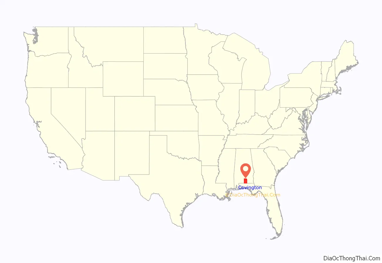
Covington County (briefly Jones County), is a county located in the south central portion of the U.S. state of Alabama. As of the 2020 census the population was 37,570. Its county seat is Andalusia. Its name is in honor of Brigadier General Leonard Covington of Maryland and Mississippi, who died in the War of 1812.
| Name: | Covington County |
|---|---|
| FIPS code: | 01-039 |
| State: | Alabama |
| Founded: | December 17, 1821 |
| Named for: | Leonard Covington |
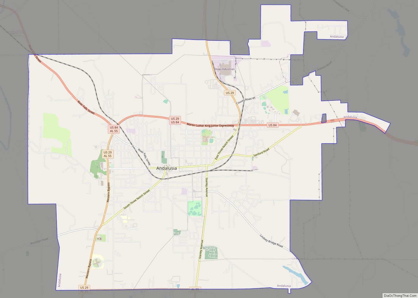
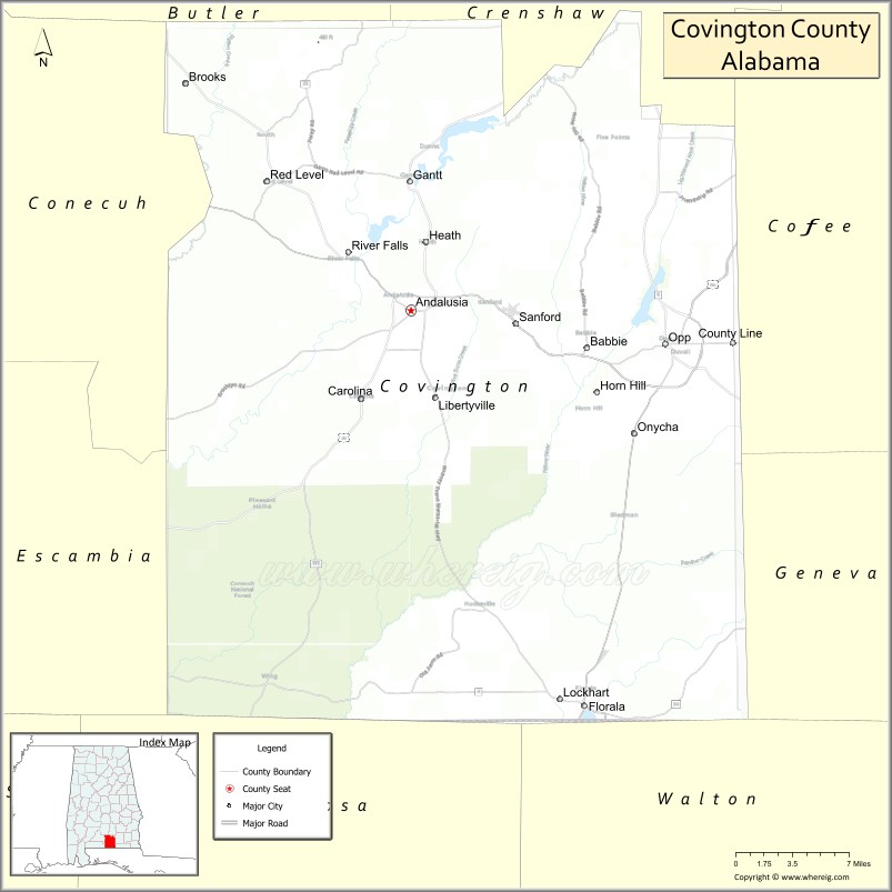
| Seat: | Andalusia |
| Largest city: | Andalusia |
| Total Area: | 1,044 sq mi (2,700 km²) |
| Land Area: | 1,030 sq mi (2,700 km²) |
| Total Population: | 37,570 |
| Population Density: | 36/sq mi (14/km²) |
| Time zone: | UTC−6 (Central) |
| Summer Time Zone (DST): | UTC−5 (CDT) |
| Website: | www.covcounty.com |
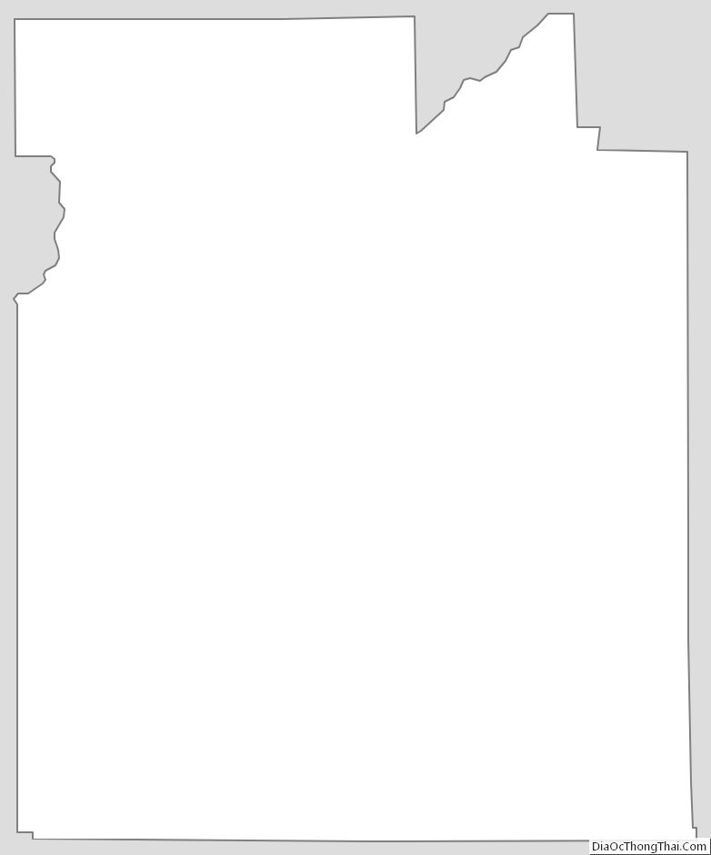
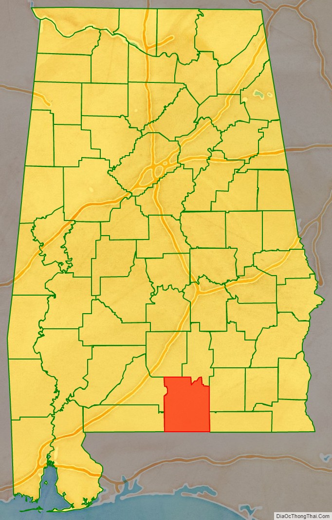
Covington County location map. Where is Covington County?
History
Covington County was established on December 17, 1821. The Alabama state legislature changed the name to Jones County on August 6, 1868. Two months later on October 10, 1868, the original name was restored.
The county was declared a disaster area in September 1979 due to damage from Hurricane Frederic and again in October 1995 due to Hurricane Opal.
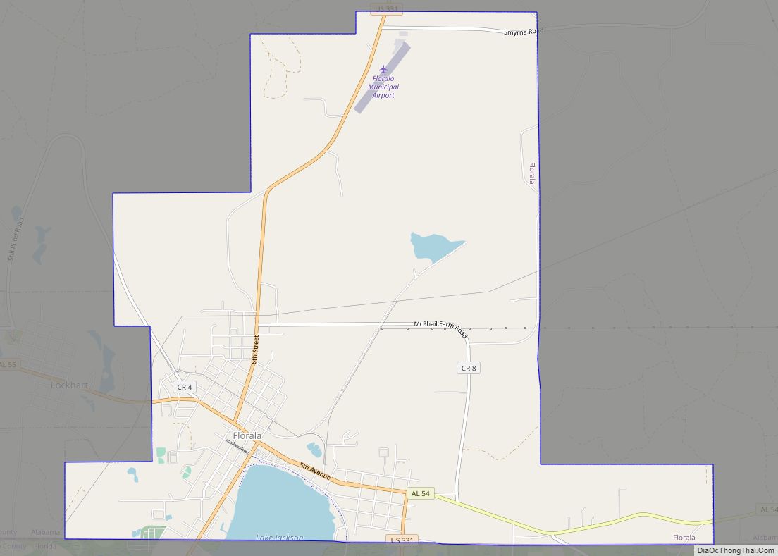
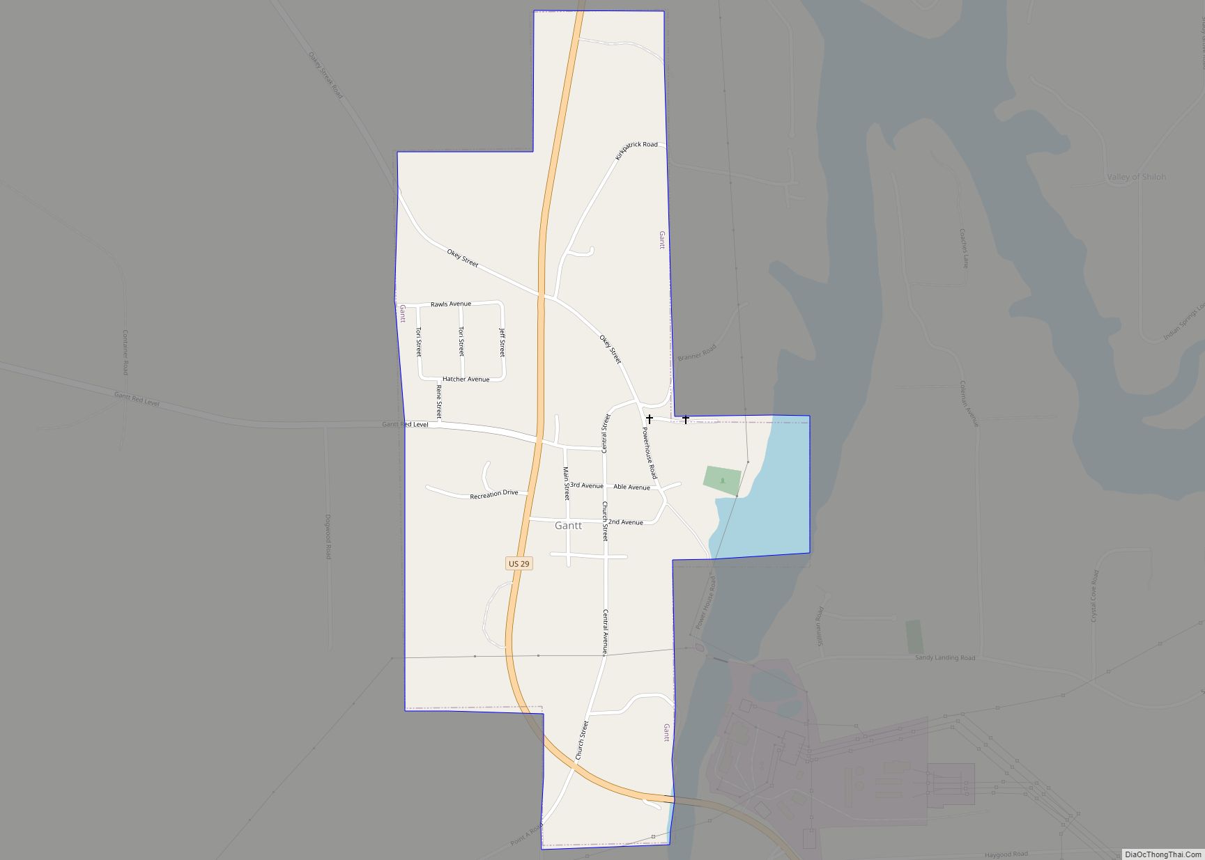
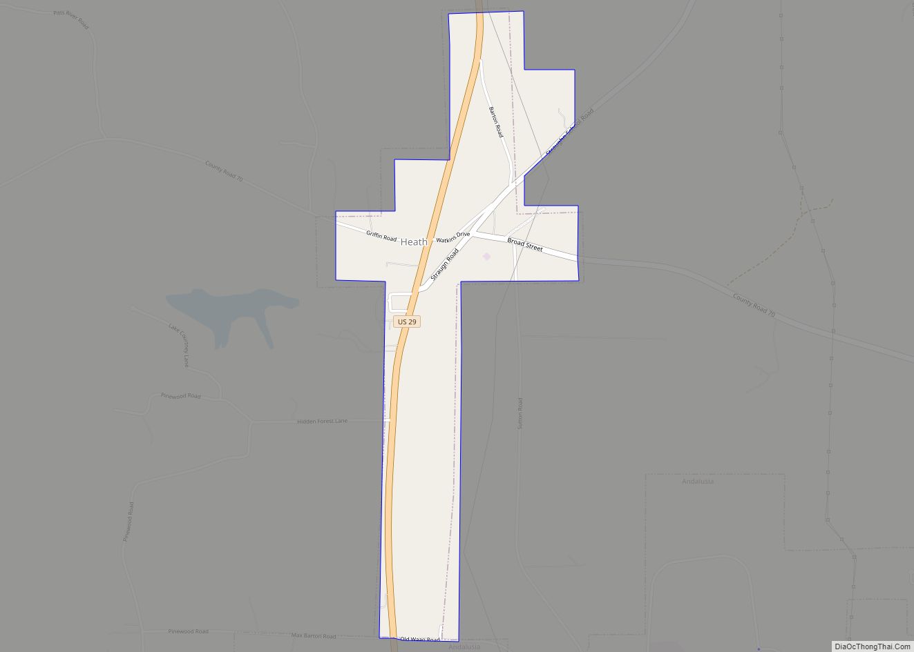
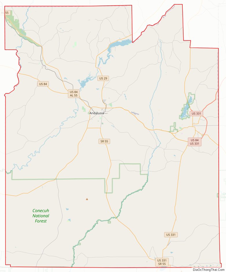
Covington County Road Map
Geography
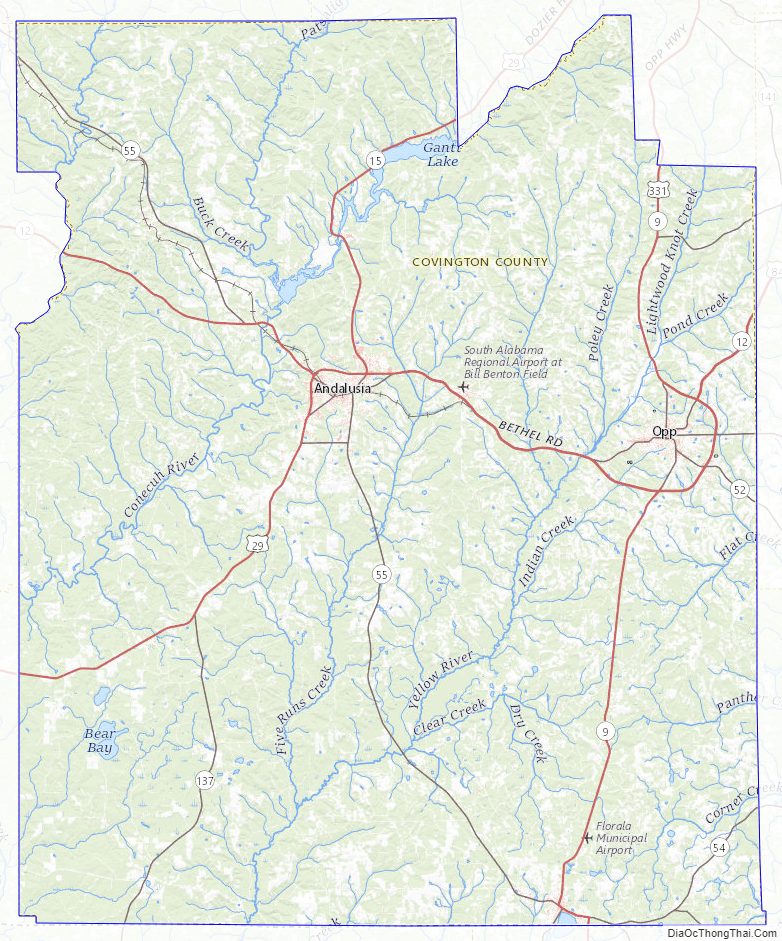
According to the United States Census Bureau, the county has a total area of 1,044 square miles (2,700 km), of which 1,030 square miles (2,700 km) is land and 13 square miles (34 km) (1.3%) is water. The county is located in the Gulf Coastal Plain region of the state. It is drained by the Conecuh and Yellow rivers.
Major highways
- U.S. Highway 29
- U.S. Highway 84
- U.S. Highway 331
- State Route 52
- State Route 54
- State Route 55
- State Route 100
- State Route 134
- State Route 137
Adjacent counties
- Butler County (north)
- Crenshaw County (north)
- Coffee County (east)
- Geneva County (east)
- Walton County, Florida (southeast)
- Okaloosa County, Florida (southwest)
- Escambia County (west)
- Conecuh County (west)
National protected area
- Conecuh National Forest (part)
Covington County Topographic Map
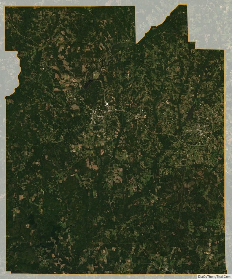
Covington County Satellite Map
Covington County Outline Map