Washington County is a county located in the northwestern part of the U.S. state of Florida, in the Panhandle. As of the 2020 census, the population was 25,318. Its county seat is Chipley.
| Name: | Washington County |
|---|---|
| FIPS code: | 12-133 |
| State: | Florida |
| Founded: | December 9, 1825 |
| Named for: | George Washington |
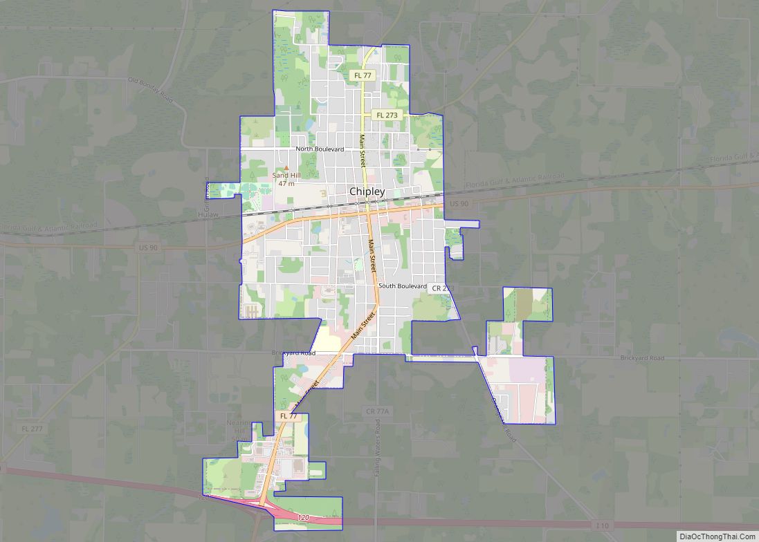
| Seat: | Chipley |
| Largest city: | Chipley |
| Total Area: | 616 sq mi (1,600 km²) |
| Land Area: | 583 sq mi (1,510 km²) |
| Total Population: | 25,318 |
| Population Density: | 44/sq mi (17/km²) |
| Time zone: | UTC−6 (Central) |
| Summer Time Zone (DST): | UTC−5 (CDT) |
| Website: | www.washingtonfl.com |
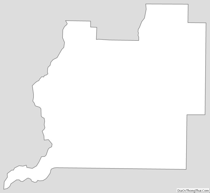
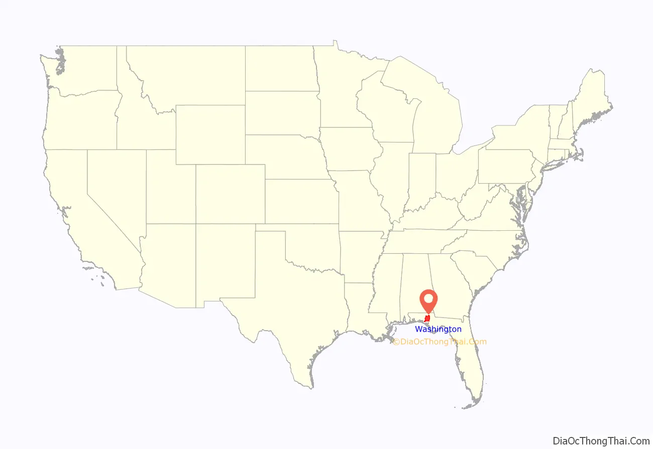
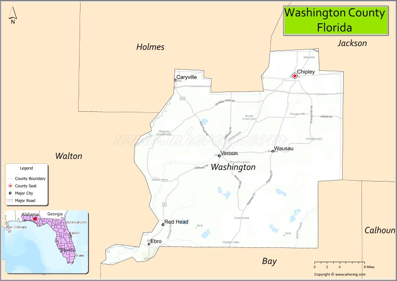
Washington County location map. Where is Washington County?
History
Washington County was created in 1825, and was nearly twice the size of the State of Delaware, stretching all the way to the Gulf of Mexico. After a century of boundary shifts, the county, with over 382,000 acres (1,546 km) of rolling hills covered in thick, stately pines and mixed hardwood forests, now covers a large portion of the central Florida Panhandle.
Over a span of more than 150 years, Washington County has seen Native American, Spanish and English cultural influences. The county’s historical lore is rich with stories of the exploits of Andrew Jackson. There are numerous Native American mounds and evidence of strong settlements still being discovered.
Named after George Washington, the first US president, the area was first settled by those seeking both economic and political freedom in this frontier land of vast timber and mineral resources. Inland waterway transportation brought about heavy river settlements. The arrival of railroads in the late 1800s boosted economic, social and political developments.
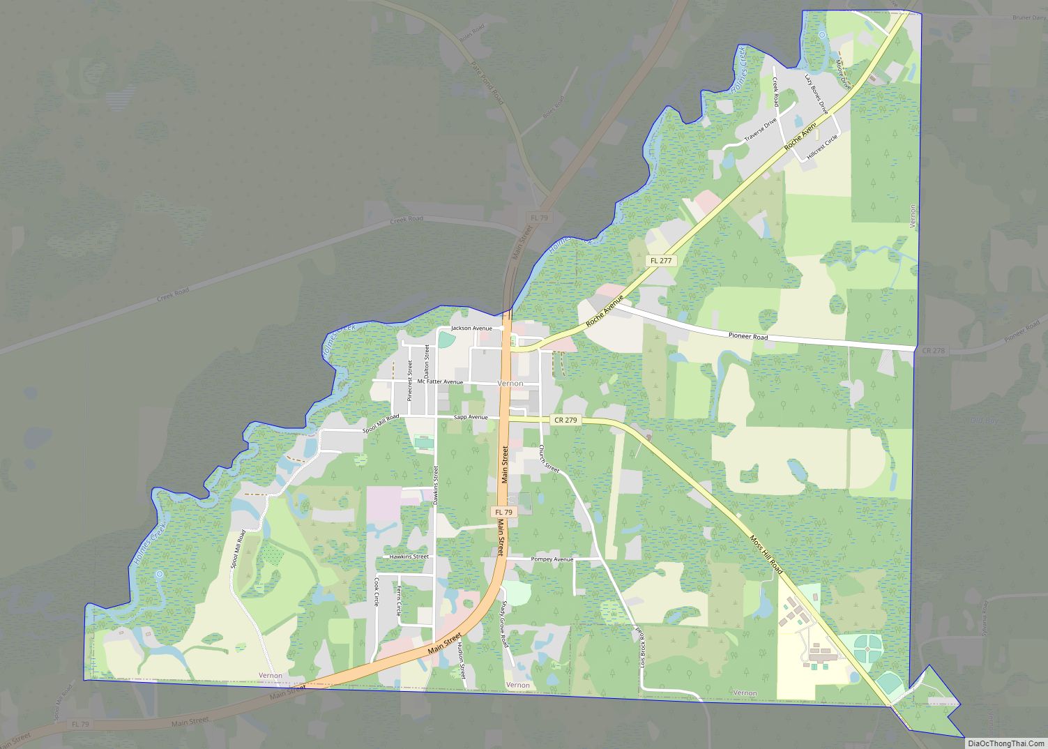
Vernon, the geographical center of the county, is named for George Washington’s Virginia home, Mt. Vernon. The pioneer town was also the site of a major Indian settlement.
The county courthouse was located in Vernon during the early part of this century, until a railroad town in northeastern Washington County, Chipley, became the new and present county seat in 1927.
Washington County was once a dry county, meaning that the sale of alcoholic beverages was banned in the county. In January 2022, this restriction was removed following a voter referendum in which about two-thirds of voters supported the removal.
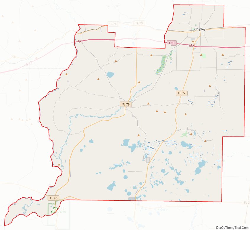
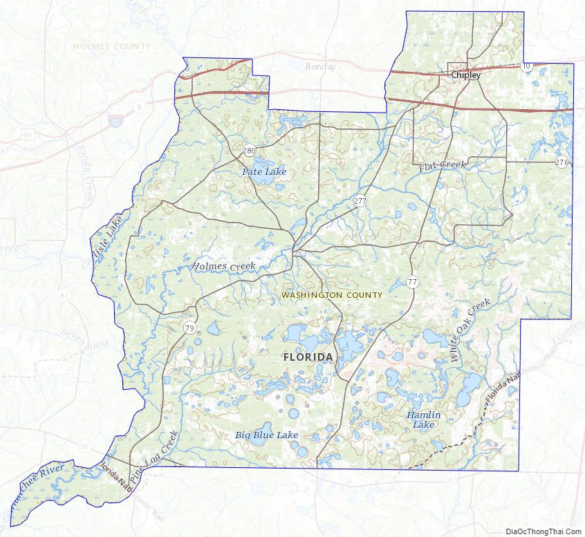
Washington County Road Map
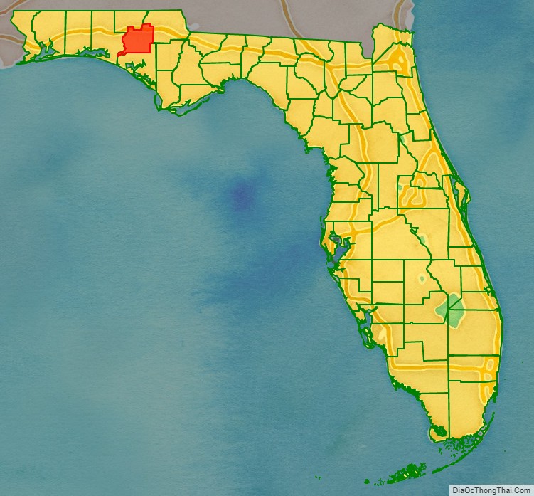
Geography
According to the U.S. Census Bureau, the county has a total area of 616 square miles (1,600 km), of which 583 square miles (1,510 km) is land and 33 square miles (85 km) (5.4%) is water.
Adjacent counties
- Holmes County, Florida – north
- Jackson County, Florida – northeast
- Bay County, Florida – south
- Walton County, Florida – west
Washington County Topographic Map
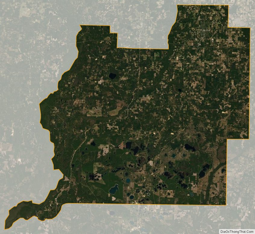
Washington County Satellite Map
Washington County Outline Map