Vernon is a city in Washington County, Florida. The population was 687 at the 2010 census; according to the U.S. Census Bureau’s 2018 estimates, the city had a population of 690.
Vernon is named for George Washington’s Virginia home, Mount Vernon. The pioneer town was the site of a major Indian settlement. Vernon held the county seat until 1927 when the seat was moved to Chipley.
Vernon became known as “nub city” in the 1950s and 1960s for a high number of limb loss insurance claims made in the area. Vernon was featured in Errol Morris’ 1981 documentary film Vernon, Florida.
| Name: | Vernon city |
|---|---|
| LSAD Code: | 25 |
| LSAD Description: | city (suffix) |
| State: | Florida |
| County: | Washington County |
| Elevation: | 43 ft (13 m) |
| Total Area: | 4.77 sq mi (12.35 km²) |
| Land Area: | 4.76 sq mi (12.34 km²) |
| Water Area: | 0.00 sq mi (0.01 km²) |
| Total Population: | 732 |
| Population Density: | 153.65/sq mi (59.33/km²) |
| ZIP code: | 32462 |
| Area code: | 850 |
| FIPS code: | 1274125 |
| GNISfeature ID: | 0292758 |
| Website: | vernonflorida.net |
Online Interactive Map
Click on ![]() to view map in "full screen" mode.
to view map in "full screen" mode.
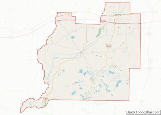
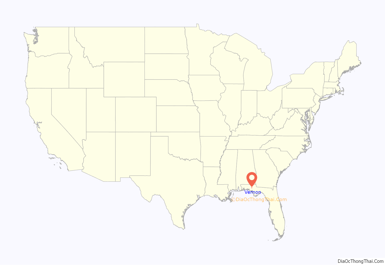
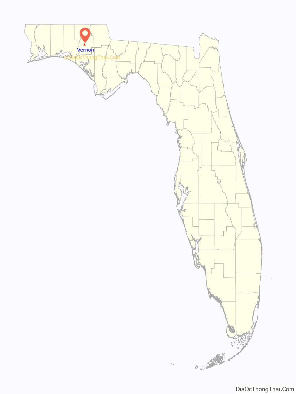
Vernon location map. Where is Vernon city?
History
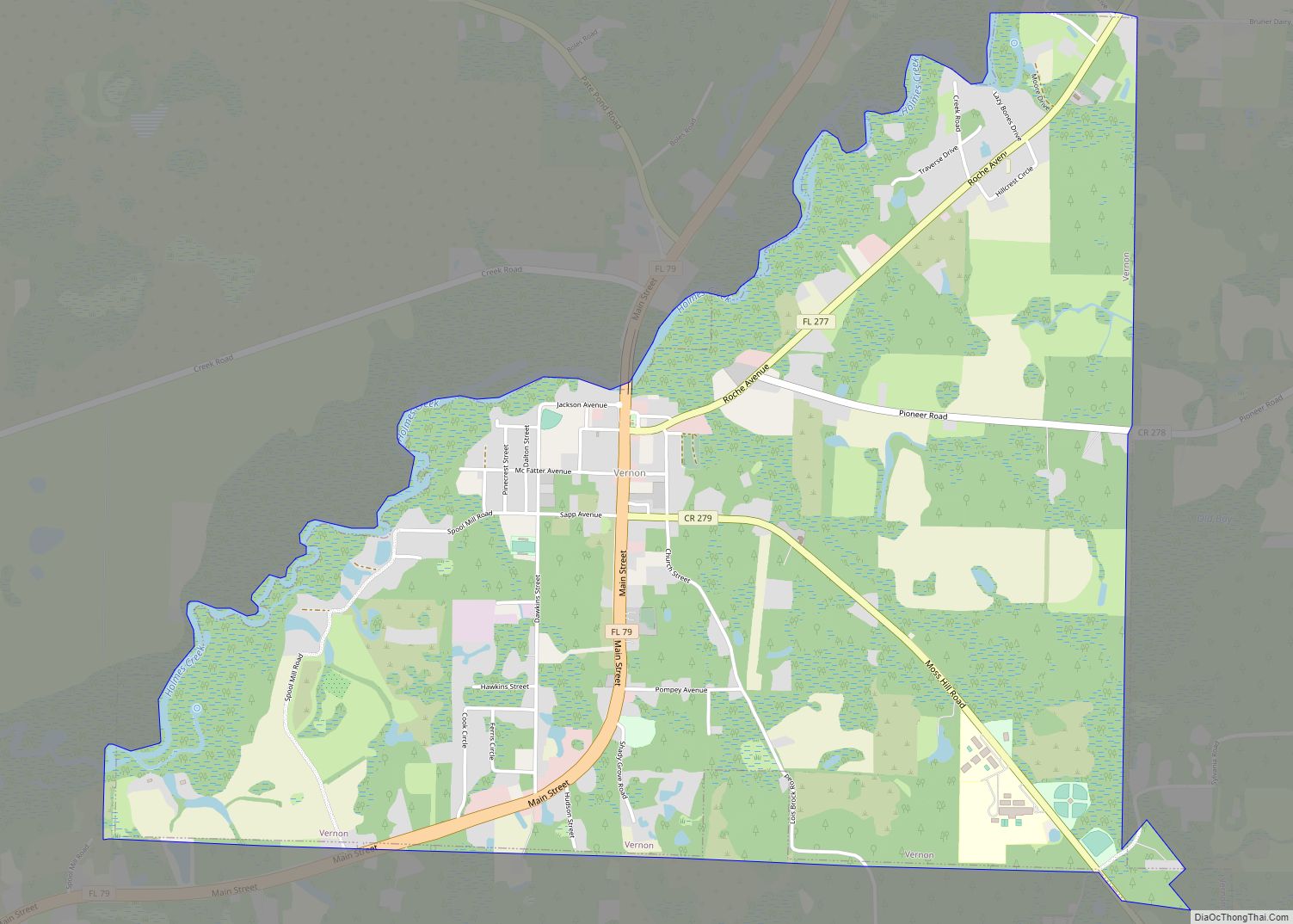
The city sits on the Holmes Creek where during the 1880s the creek was used as a shipping route to Bonifay and other nearby towns. The creek was also used to ship gopher tortoises due to the high value their shell carried at that time. The town gained infamy in the late 1950s and early 1960s due to the improbably high percentage of residents who put out insurance claims on lost limbs, to the point that many speculated that residents of the town were intentionally dismembering themselves for the insurance money. Although there is no real evidence to support these speculations, these insurance claims from Vernon, with a population of 500–800, accounted for as many as 2/3 of claims nationally.
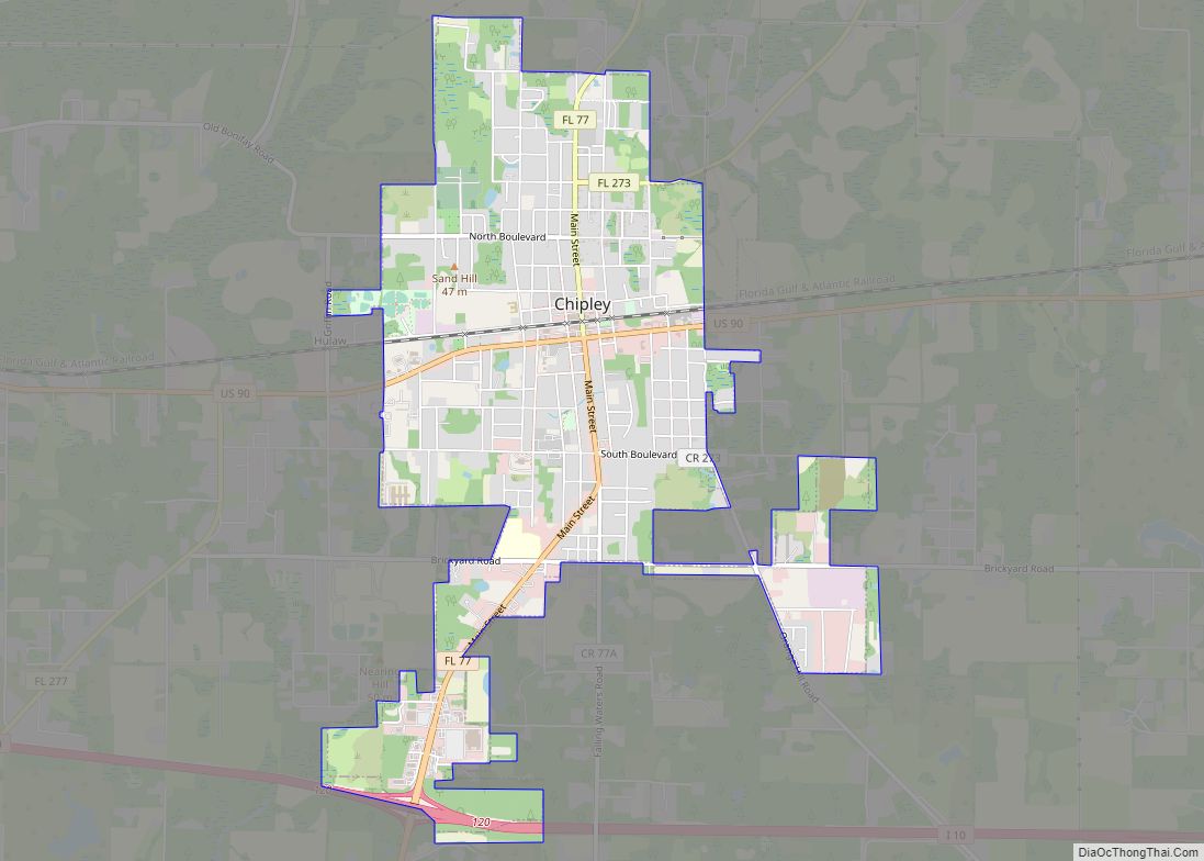
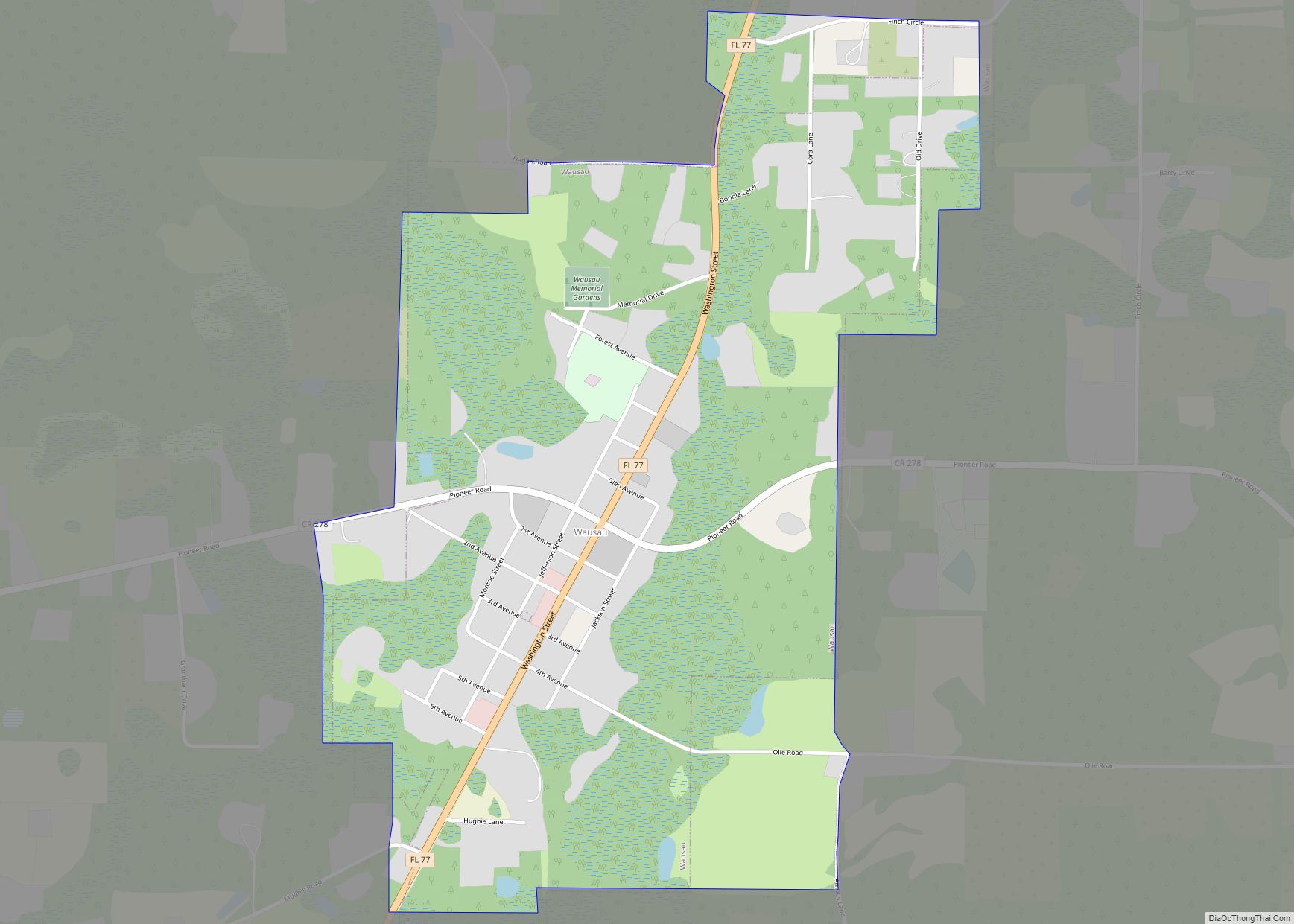
Vernon Road Map

Vernon city Satellite Map

Geography
Vernon is located at 30°37′18″N 85°42′42″W / 30.62167°N 85.71167°W / 30.62167; -85.71167 (30.621699, –85.711628).
Florida State Road 79 is the main route through the city, and leads north 12 mi (19 km) to Bonifay along Interstate 10 and southwest 18 mi (29 km) to Ebro. Another more local road, Florida State Road 277, begins in the city and leads northeast 16 mi (26 km) to Chipley, the Washington County seat.
According to the United States Census Bureau, the city has a total area of 4.7 square miles (12 km), all land.
See also
Map of Florida State and its subdivision:- Alachua
- Baker
- Bay
- Bradford
- Brevard
- Broward
- Calhoun
- Charlotte
- Citrus
- Clay
- Collier
- Columbia
- Desoto
- Dixie
- Duval
- Escambia
- Flagler
- Franklin
- Gadsden
- Gilchrist
- Glades
- Gulf
- Hamilton
- Hardee
- Hendry
- Hernando
- Highlands
- Hillsborough
- Holmes
- Indian River
- Jackson
- Jefferson
- Lafayette
- Lake
- Lee
- Leon
- Levy
- Liberty
- Madison
- Manatee
- Marion
- Martin
- Miami-Dade
- Monroe
- Nassau
- Okaloosa
- Okeechobee
- Orange
- Osceola
- Palm Beach
- Pasco
- Pinellas
- Polk
- Putnam
- Saint Johns
- Saint Lucie
- Santa Rosa
- Sarasota
- Seminole
- Sumter
- Suwannee
- Taylor
- Union
- Volusia
- Wakulla
- Walton
- Washington
- Alabama
- Alaska
- Arizona
- Arkansas
- California
- Colorado
- Connecticut
- Delaware
- District of Columbia
- Florida
- Georgia
- Hawaii
- Idaho
- Illinois
- Indiana
- Iowa
- Kansas
- Kentucky
- Louisiana
- Maine
- Maryland
- Massachusetts
- Michigan
- Minnesota
- Mississippi
- Missouri
- Montana
- Nebraska
- Nevada
- New Hampshire
- New Jersey
- New Mexico
- New York
- North Carolina
- North Dakota
- Ohio
- Oklahoma
- Oregon
- Pennsylvania
- Rhode Island
- South Carolina
- South Dakota
- Tennessee
- Texas
- Utah
- Vermont
- Virginia
- Washington
- West Virginia
- Wisconsin
- Wyoming