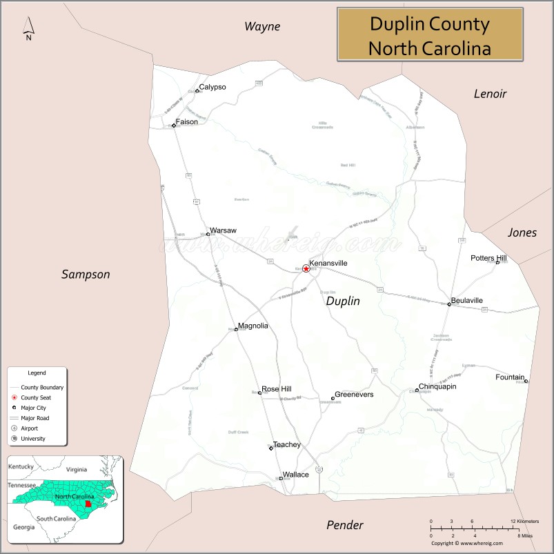
Duplin County (/ˈduːplɪn/) is a county located in the U.S. state of North Carolina. As of the 2020 census, the population was 48,715. Its county seat is Kenansville.
| Name: | Duplin County |
|---|---|
| FIPS code: | 37-061 |
| State: | North Carolina |
| Founded: | 1750 |
| Named for: | Thomas Hay, Viscount Dupplin |
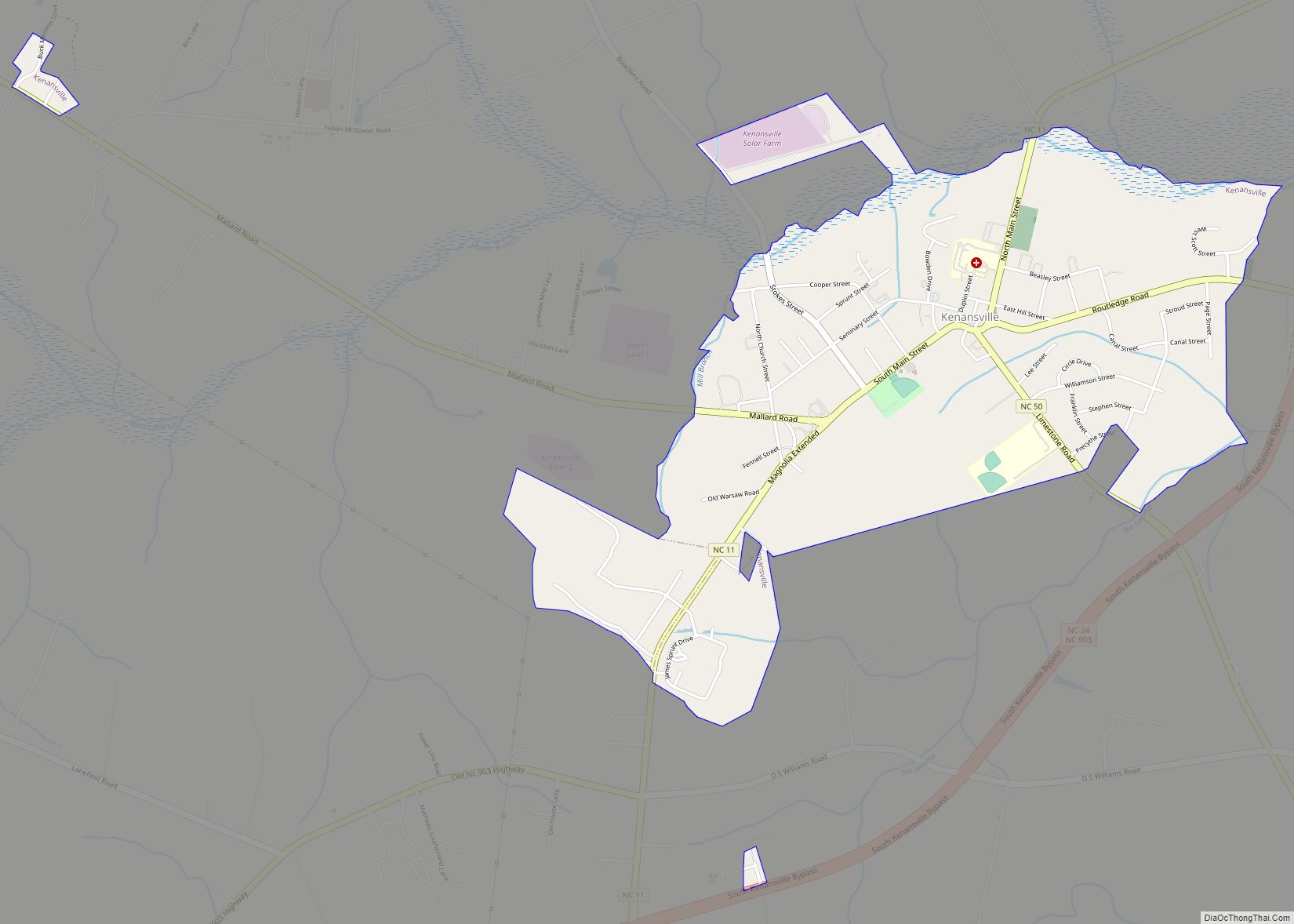
| Seat: | Kenansville |
| Largest town: | Wallace |
| Total Area: | 822 sq mi (2,130 km²) |
| Land Area: | 816 sq mi (2,110 km²) |
| Total Population: | 48,515 |
| Population Density: | 59.5/sq mi (23.0/km²) |
| Time zone: | UTC−5 (Eastern) |
| Summer Time Zone (DST): | UTC−4 (EDT) |
| Website: | www.duplincountync.com |
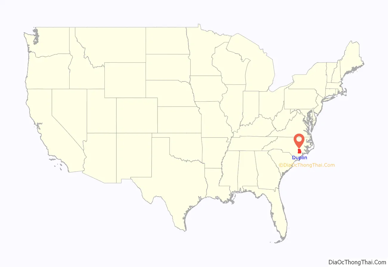
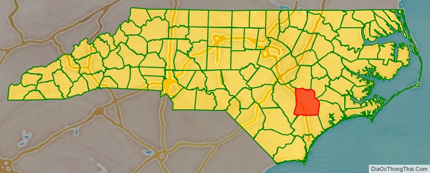
Duplin County location map. Where is Duplin County?
History
The county was formed in 1750 from New Hanover County. It was named for Thomas Hay, Viscount Dupplin (later 9th Earl of Kinnoull), as he was known when he served on the Board of Trade and Plantations in England in the 1740s.
In 1784, the western part of Duplin County became Sampson County.
John Miller, a merchant in Duplin, was appointed as postmaster. In the 19th century, he migrated to Leon County in the panhandle of Florida, with other North Carolinians during the period of Indian Removal in the 1830s–1840s. There, he developed a successful cotton plantation. He called it Miccosukee Plantation, after one of the Seminole bands. (They are now a federally recognized tribe.)
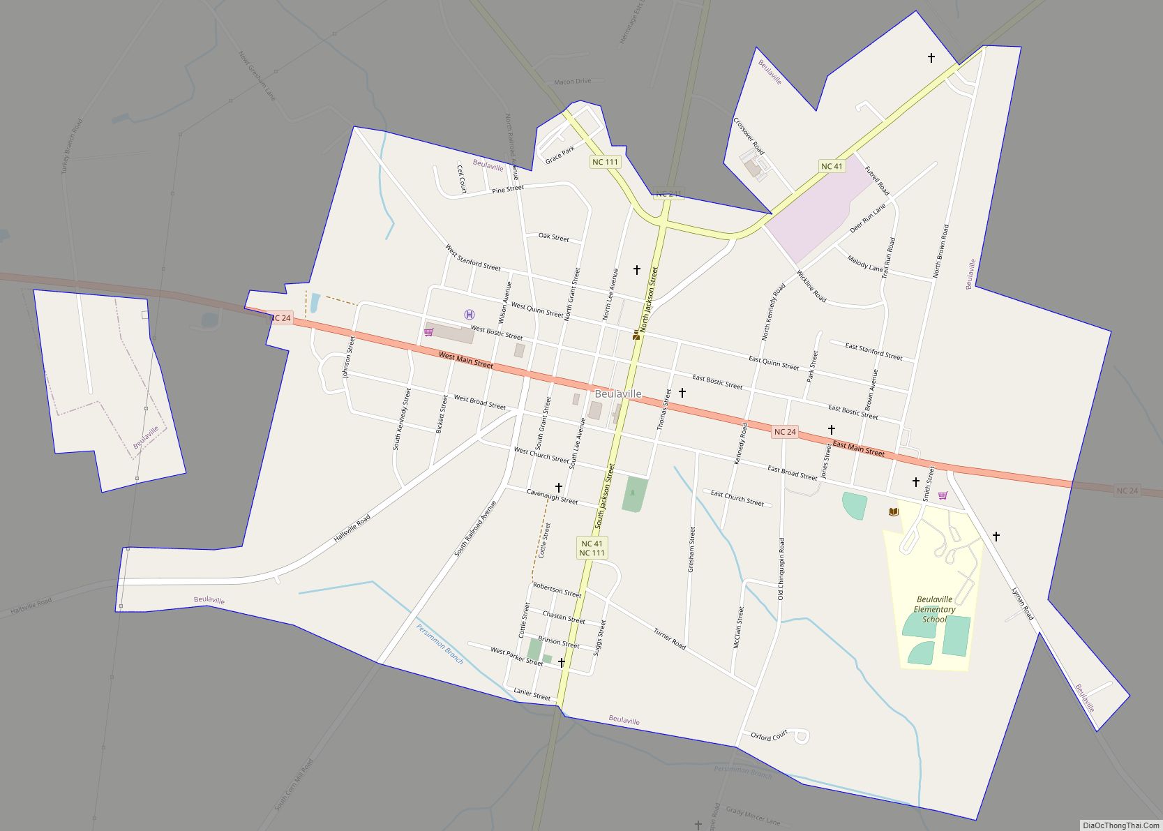
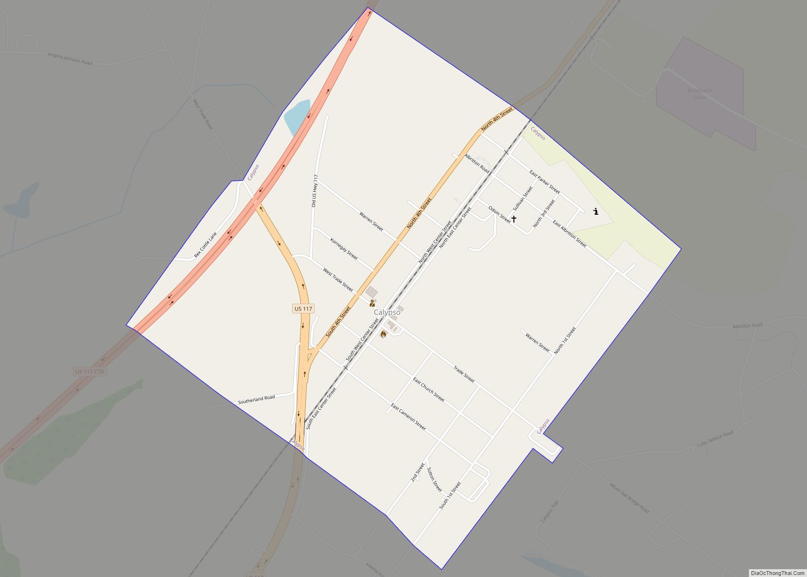
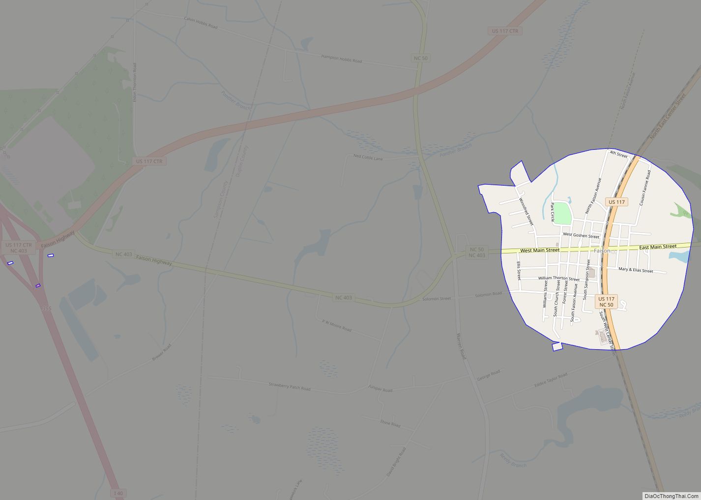
Duplin County Road Map
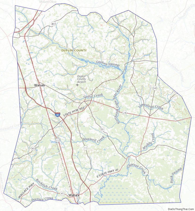
Geography
According to the U.S. Census Bureau, the county has a total area of 822 square miles (2,130 km), of which 816 square miles (2,110 km) are land and 5.5 square miles (14 km) (0.7%) are covered by water.
State and local protected area
- Angola Bay Game Land (part)
- Cabin Lake County Park
Major water bodies
- Doctors Creek
- Goshen Swamp
- Groove Creek
- Island Creek
- Limestone Creek
- Little Limestone Creek
- Maxwell Creek
- Millers Creek
- Northeast Cape Fear River
- Stewards Creek
Adjacent counties
- Wayne County – north
- Lenoir County – northeast
- Jones County – east
- Onslow County – east
- Pender County – south
- Sampson County – west
Major highways
- I-40
- Future I-795 (Concurrency with US 117)
- US 117
- US 117 Alt.
- US 117 Conn.
- US 421
- NC 11
- NC 24
- NC 24 Bus.
- NC 41
- NC 50
- NC 111
- NC 241
- NC 403
- NC 903
Major infrastructure
- Duplin County Airport – Kenansville
- Eagles Nest Airport (6N9) – Potters Hill
- Henderson Field Airport (ACZ) – Wallace
Duplin County Topographic Map
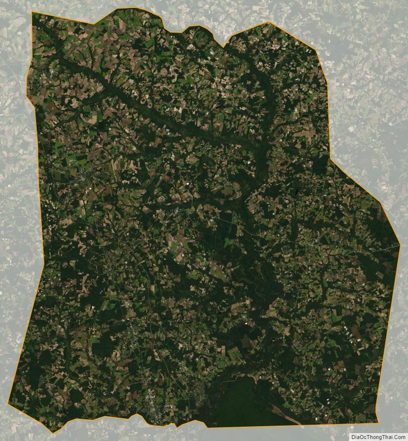
Duplin County Satellite Map
Duplin County Outline Map