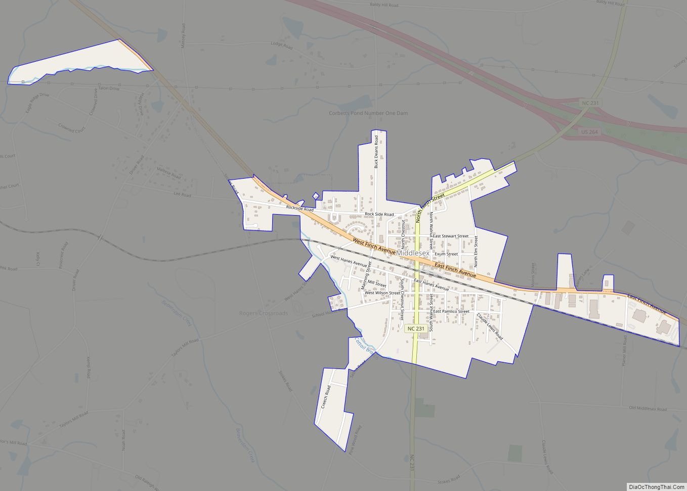
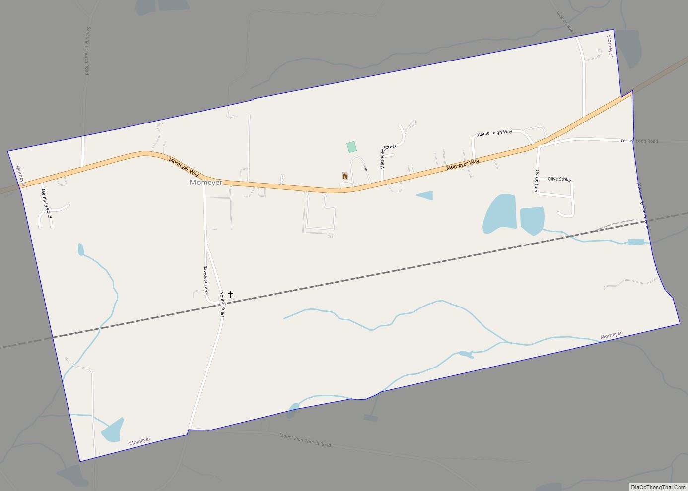
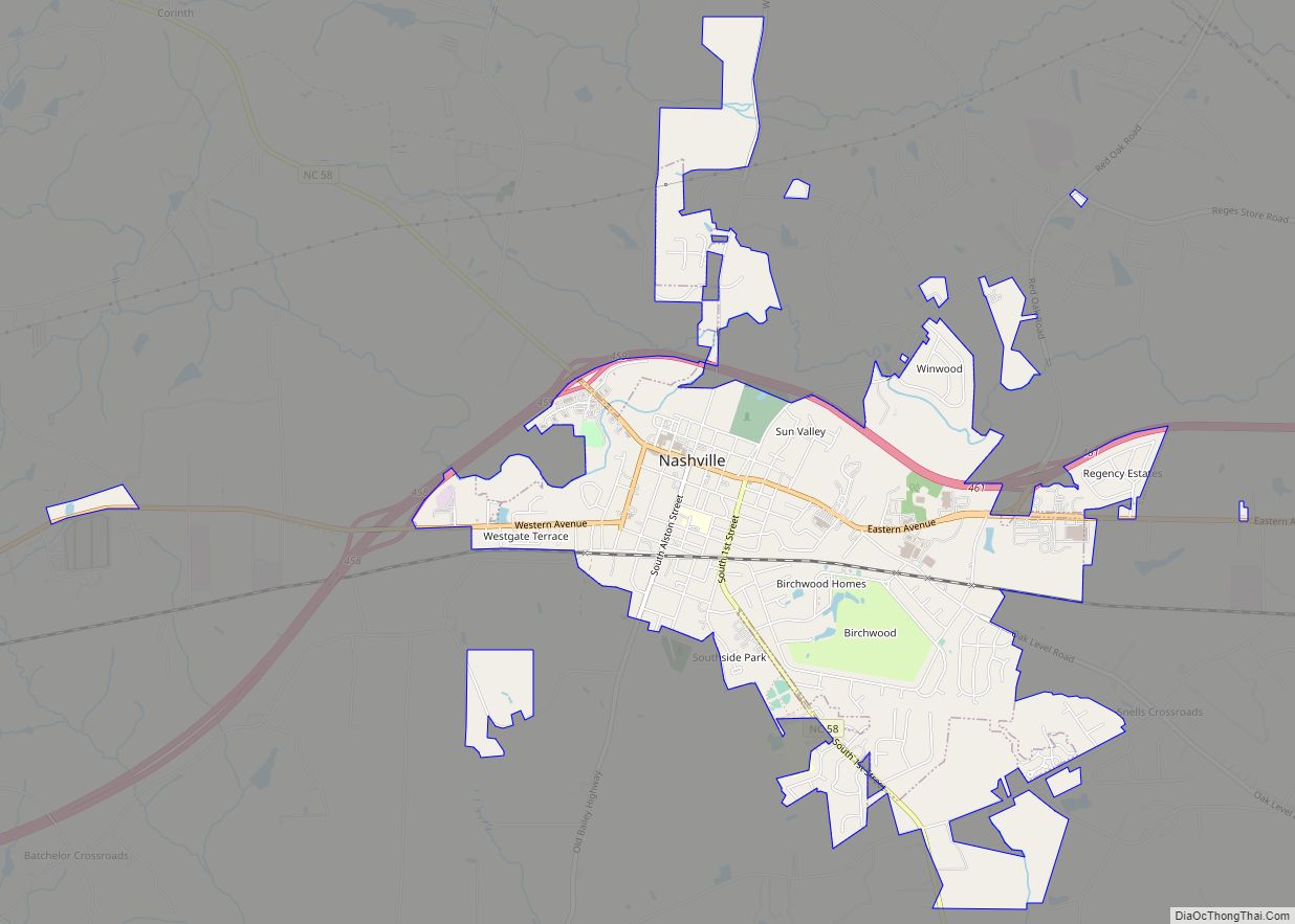
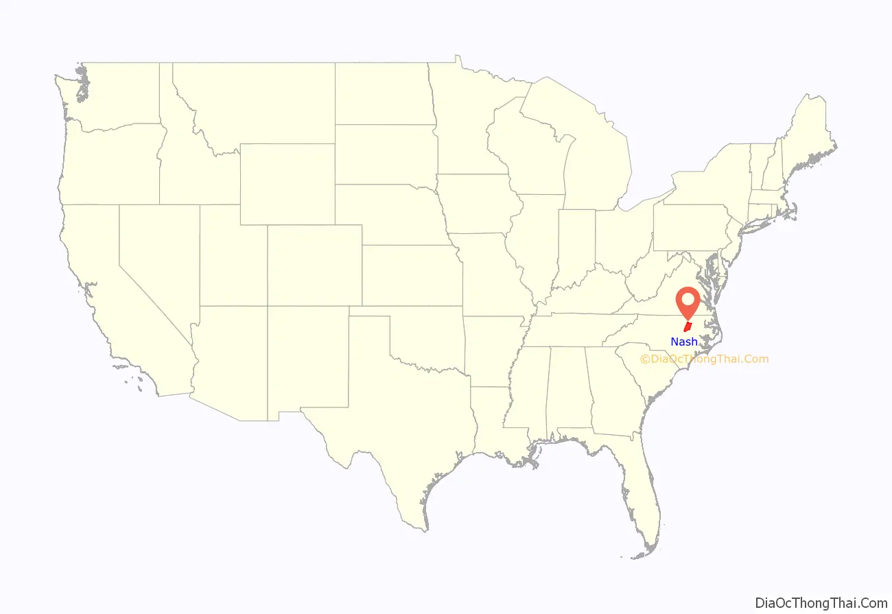
Nash County is a county located in the U.S. state of North Carolina. As of the 2020 census, the population was 94,970. Its county seat is Nashville.
Nash County is now a part of the Rocky Mount, NC Metropolitan Statistical Area, instead of the Raleigh, NC Metropolitan Statistical Area.
| Name: | Nash County |
|---|---|
| FIPS code: | 37-127 |
| State: | North Carolina |
| Founded: | 1777 |
| Named for: | Francis Nash |
| Seat: | Nashville |
| Largest city: | Rocky Mount |
| Total Area: | 543 sq mi (1,410 km²) |
| Land Area: | 540 sq mi (1,400 km²) |
| Total Population: | 94,970 |
| Population Density: | 170/sq mi (68/km²) |
| Time zone: | UTC−5 (Eastern) |
| Summer Time Zone (DST): | UTC−4 (EDT) |
| Website: | nashcountync.gov |
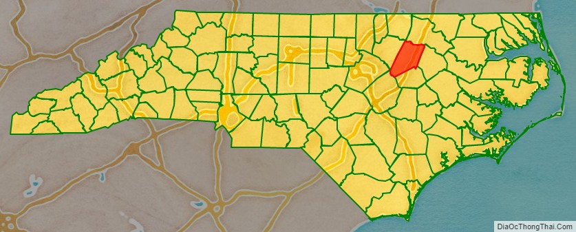
Nash County location map. Where is Nash County?
History
Nash County was formed in 1777 from Edgecombe County. It was named for American Revolutionary War Brigadier General Francis Nash, who was mortally wounded at the Battle of Germantown that year.
In 1855, parts of Nash, Edgecombe, Johnston, and Wayne Counties were combined to form Wilson County.
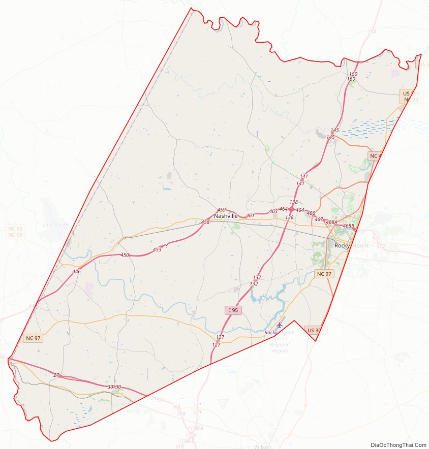
Nash County Road Map
Geography
According to the U.S. Census Bureau, the county has a total area of 543 square miles (1,410 km), of which 540 square miles (1,400 km) is land and 2.4 square miles (6.2 km) (0.4%) is covered by water.
State and local protected areas
- Flower Hill Nature Preserve (part)
- Sandy Creek Public Game Land
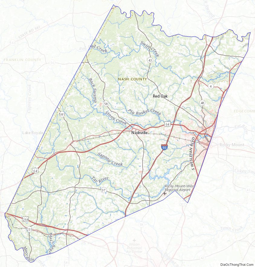
Major water bodies
- Fishing Creek
- Moccasin Creek
- Pig Basket Creek
- Sapony Creek
- Stony Creek
- Swift Creek
- Tar River
- Tar River Reservoir
- Toisnot Swamp
- Turkey Creek
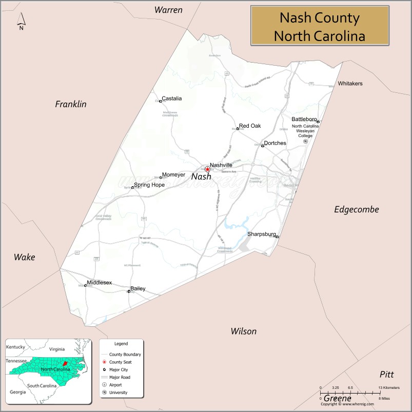
Adjacent counties
- Franklin County – west
- Johnston County – southwest
- Wake County – southwest
- Wilson County – south
- Edgecombe County – east
- Halifax County – northeast
- Warren County – north
Major highways
- Future I-87 (Concurrency with US 64)
- I-95
- Future I-587
- US 64
- US 64 Alt.
- US 64 Bus. (Nashville)
- US 64 Bus. (Rocky Mount)
- US 264
- US 264 Alt.
- US 301
- US 301 Bus.
- NC 4
- NC 33
- NC 43
- NC 43 Bus.
- NC 48
- NC 56
- NC 58
- NC 97
- NC 98
- NC 231
- NC 561
- NC 581
Major infrastructure
- CSX Intermodal Terminal, Shared between Edgecombe County
- Rocky Mount-Wilson Regional Airport
Nash County Topographic Map
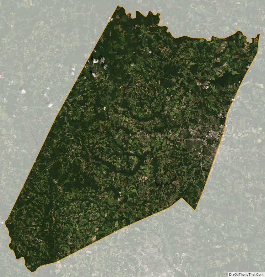
Nash County Satellite Map
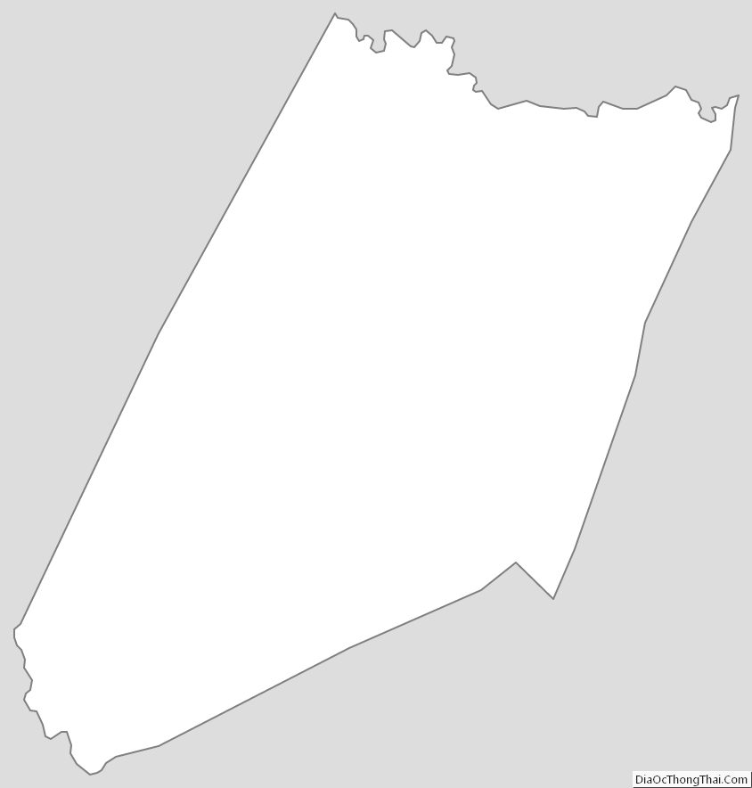
Nash County Outline Map