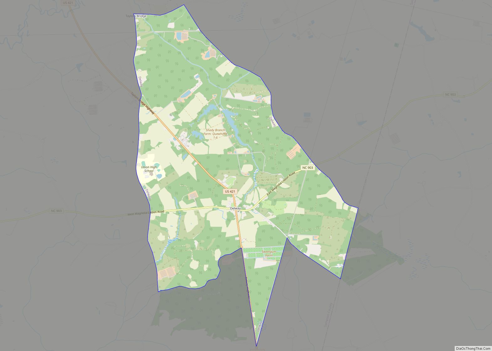
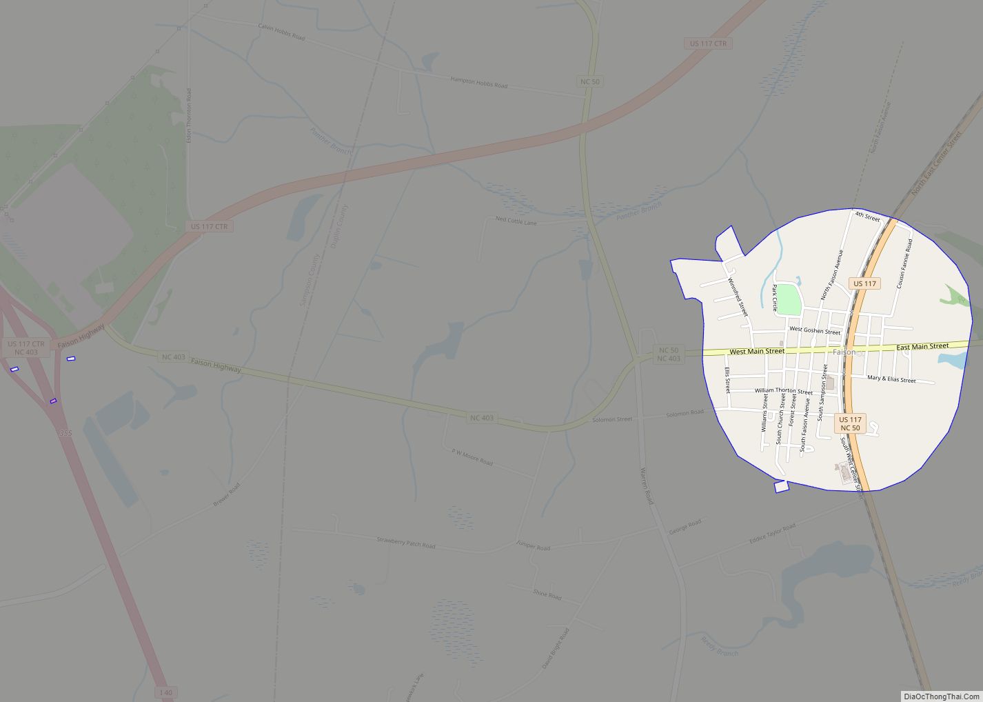
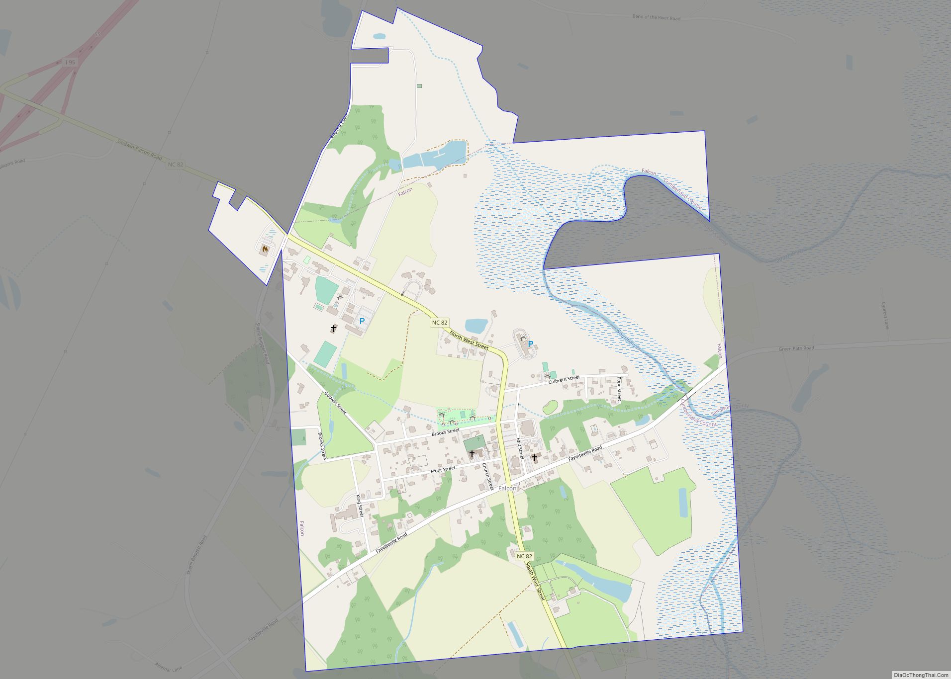
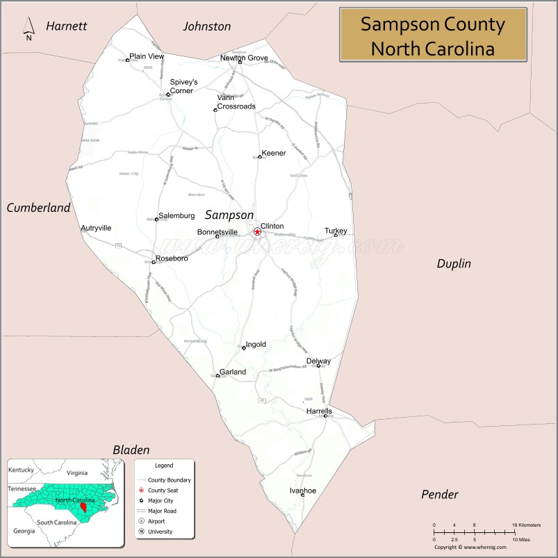
Sampson County is the second largest county, by land area, in the U.S. state of North Carolina. As of the 2020 census, the population was 59,036. Its county seat is Clinton.
| Name: | Sampson County |
|---|---|
| FIPS code: | 37-163 |
| State: | North Carolina |
| Founded: | 1784 |
| Named for: | John Sampson |
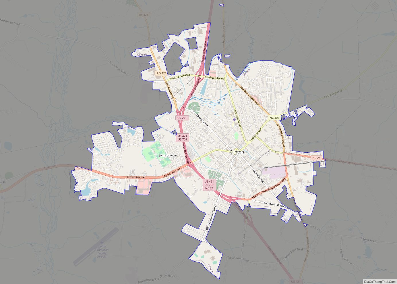
| Seat: | Clinton |
| Largest city: | Clinton |
| Total Area: | 962 sq mi (2,490 km²) |
| Land Area: | 960 sq mi (2,500 km²) |
| Total Population: | 58,990 |
| Population Density: | 61.4/sq mi (23.7/km²) |
| Time zone: | UTC−5 (Eastern) |
| Summer Time Zone (DST): | UTC−4 (EDT) |
| Website: | www.sampsonnc.com |
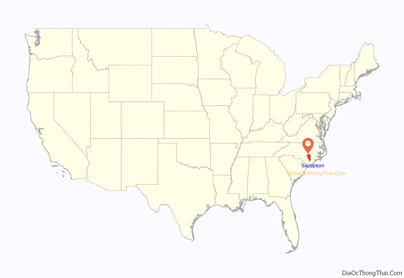
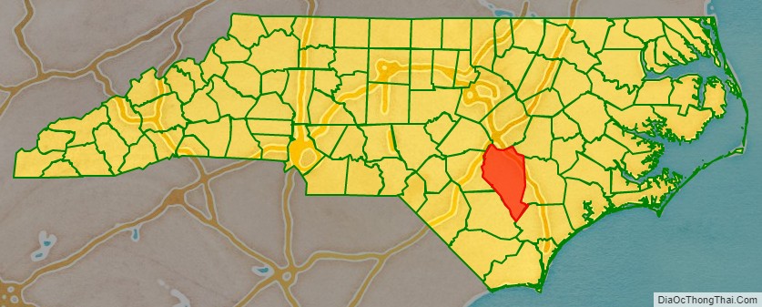
Sampson County location map. Where is Sampson County?
History
Sampson County was established in April 1784 following the American Revolutionary War. The North Carolina General Assembly annexed land from the neighboring Duplin County. The neighboring Wayne County and New Hanover counties would be annexed later.
Early settlers were Scots-Irish immigrants from Northern Ireland, many came to colonial North Carolina under the protection and inducements of Henry McCulloch, a wealthy London merchant. The community of Taylors Bridge was one of the earliest European settled areas of the county. Pioneer families lived there as early as the 1730s or 1740s. The first settlers of the area were Edmond Matthis, William Johnson, William Robinson and John Register, followed by members of the Peterson, Knowles, Vann, Boney, Merritt, Pearson, Powell, Herring, Rogers, Bryant, Blue, Ezzell, James Murphy, Ward, Sellers, Parrish, Fryar, Williamson and Bass families. In 1745, McCulloch obtained grants from the British Crown covering some 71,160 acres of land “lying and situated on the branches of the North East and Black River.” The Scot-Irish immigrants were soon joined by descendants of the Swiss colony in New Bern. Later on, they were joined by pioneers from the northern states of New Jersey, Connecticut and Massachusetts.
Among the first European settlers of the area was John Sampson. Sampson was appointed as the first Register of Deeds for Duplin County. He served as a Lt. Colonel, and then a Lt. General in the county’s militia, and was later elected as the first mayor of Wilmington. Sampson brought with him Richard Clinton, believed to be his stepson.
As an adult, Clinton soon distinguished himself in governmental and military service, serving as Duplin County’s Register of Deeds for ten years. He was elected to the Provincial Congress held at Hillsboro. In 1776, at the outbreak of the Revolution, Clinton organized a company of militia from upper Duplin County and led them as captain in the defense of Wilmington against the British. He was later appointed Colonel of Cavalry and Brigadier General of the Fayetteville District. Upon the establishment of the state government of North Carolina by the Halifax Constitution of 1776, Clinton was elected as one of the first members of the House of Commons, representing the County of Duplin as a House member. Clinton continued as a representative of Duplin County until the creation of Sampson County in 1784. Clinton secured passage of the act creating the new county, and proposed the name “Sampson” in honor of John Sampson, his stepfather and benefactor.
According to the 2000 census, there were 1,029 members of the state-recognized Coharie Intra-tribal Council, Inc., a state-recognized tribe in Sampson County, who claim “descent from certain tribes of Indians originally inhabiting the coastal regions of North Carolina.”
George Edwin Butler, author of The Croatan Indians of Sampson County, North Carolina. Their Origin and Racial Status. A Plea for Separate Schools (1916), claimed that the Croatan were mixed-race descendants of English settlers on the Lost Colony of Roanoke Island. The persons associated as Croatan were variously classified as “White”, “Mulatto”, “Colored”, and “Negro” in the censuses of the 19th century. There was no category for Indian.
But most historians do not believe the myth of the Croatan Indians in North Carolina. No records exist of any English settlement inland of the North Carolina coast prior to 1703, when John Lawson explored the inner region of the territory. Butler claimed that Lawson had come across Native Americans who were tilling the land in the English style, speaking an antiquated English, having gray and blue eyes, and wanting Lawson to teach them how to “speak from a book” as their forefathers did. Mainline historians have found no evidence that any Europeans survived from Roanoke Island. DNA analysis of the “Indians” of Sampson County have not supported such early 20th c. myths.
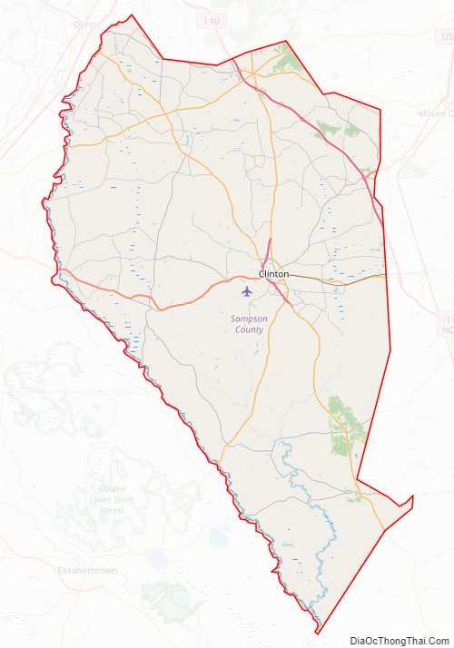
Sampson County Road Map
Geography
According to the U.S. Census Bureau, the county has a total area of 947 square miles (2,450 km), of which 945 square miles (2,450 km) is land and 1.9 square miles (4.9 km) (0.2%) is water. It is the second-largest county in North Carolina, and the largest in terms of land area. It is second to Robeson County, which has a total area of 951 square miles (2,460 km)
The county is in the watersheds of the Black and South Rivers and Six Run Creek.
Major water bodies
- Black River, home of the oldest documented Taxodium distichum (bald cypress) at 2,648 years old, located in Bladen County
- Great Coharie Creek (Black River tributary)
- Little Coharie Creek
- Mingo Swamp (South River tributary)
- Six Run Creek
- South River
Adjacent counties
- Johnston County – north
- Wayne County – northeast
- Duplin County – east
- Pender County – southeast
- Bladen County – southwest
- Cumberland County – west
- Harnett County – northwest
Major highways
- I-40 (Concurrency with US 117)
- Future I-795
- US 13
- US 117 Conn.
- US 421
- US 701
- NC 24
- NC 41
- NC 50
- NC 55
- NC 96
- NC 242
- NC 403
- NC 411
- NC 903
Major infrastructure
- Clinton-Sampson County Airport (IATA: CTZ, ICAO: KCTZ, FAA LID: CTZ) is a public use airport located two nautical miles (4 km) southwest of the central business district of Clinton, a city in Sampson County, North Carolina, United States. It is owned by the city and county.
Sampson County Topographic Map
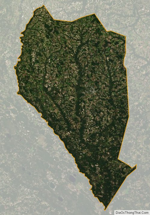
Sampson County Satellite Map
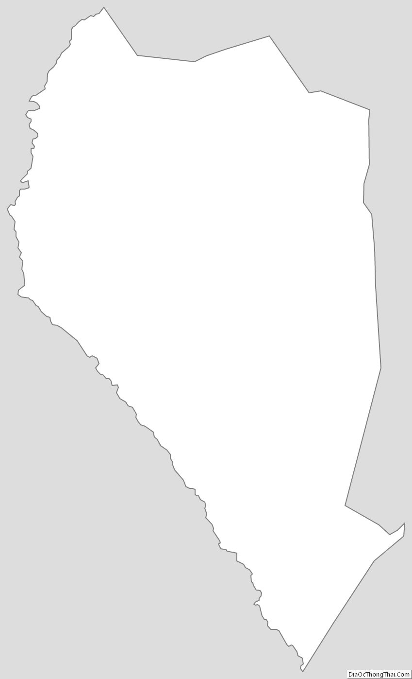
Sampson County Outline Map