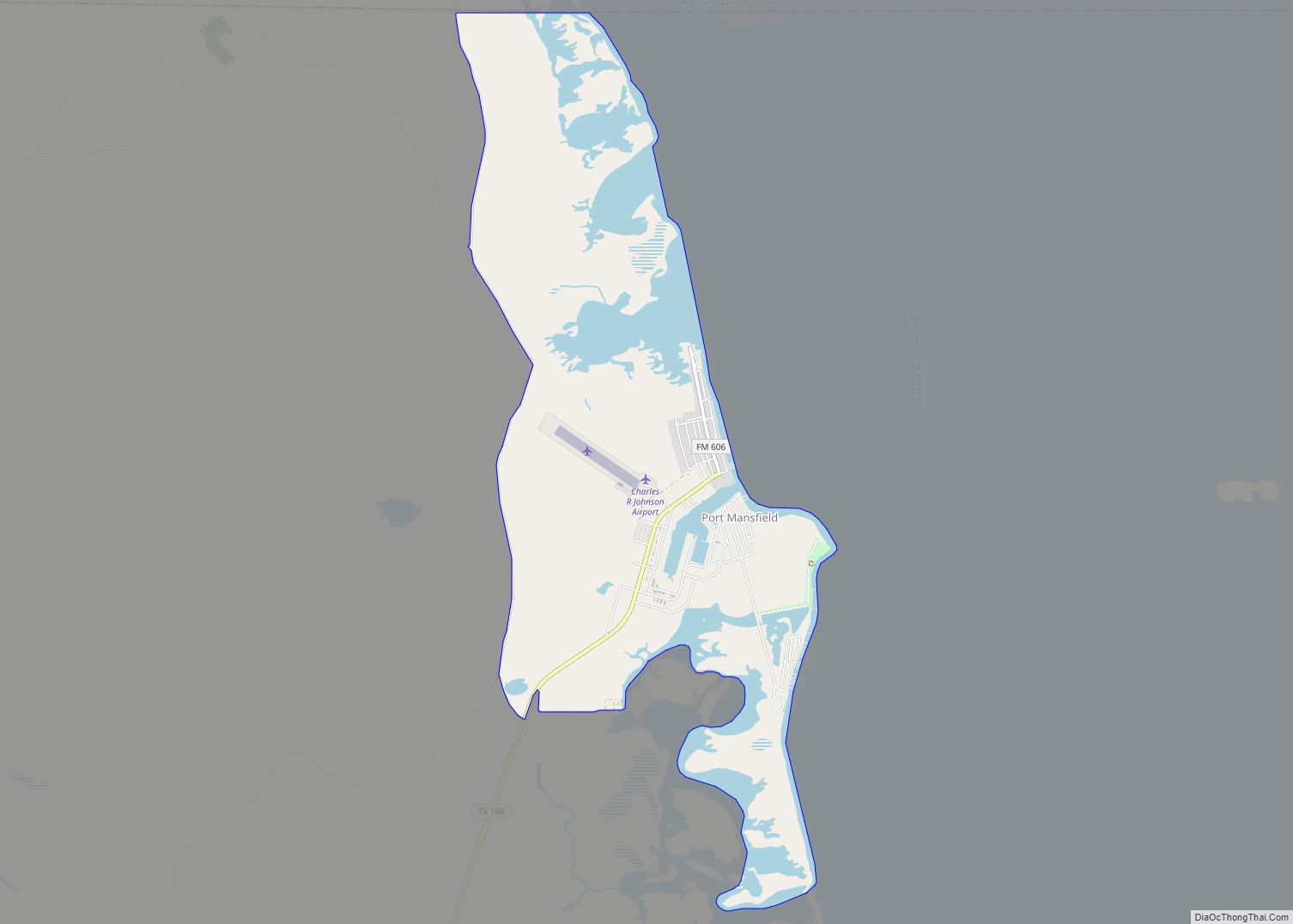
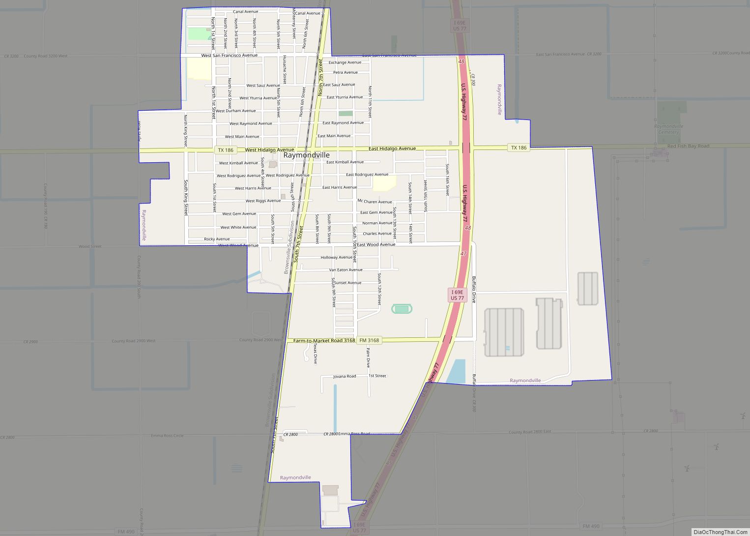
Willacy County is a county in the U.S. state of Texas. As of the 2020 census, its population was 20,164. Its county seat is Raymondville. The county was created in 1911 and organized the next year.
Willacy County comprises the Raymondville micropolitan statistical area, which is included in the Brownsville-Harlingen-Raymondville combined statistical area, which itself is part of the larger Rio Grande Valley region.
| Name: | Willacy County |
|---|---|
| FIPS code: | 48-489 |
| State: | Texas |
| Founded: | 1912 |
| Named for: | John G. Willacy |
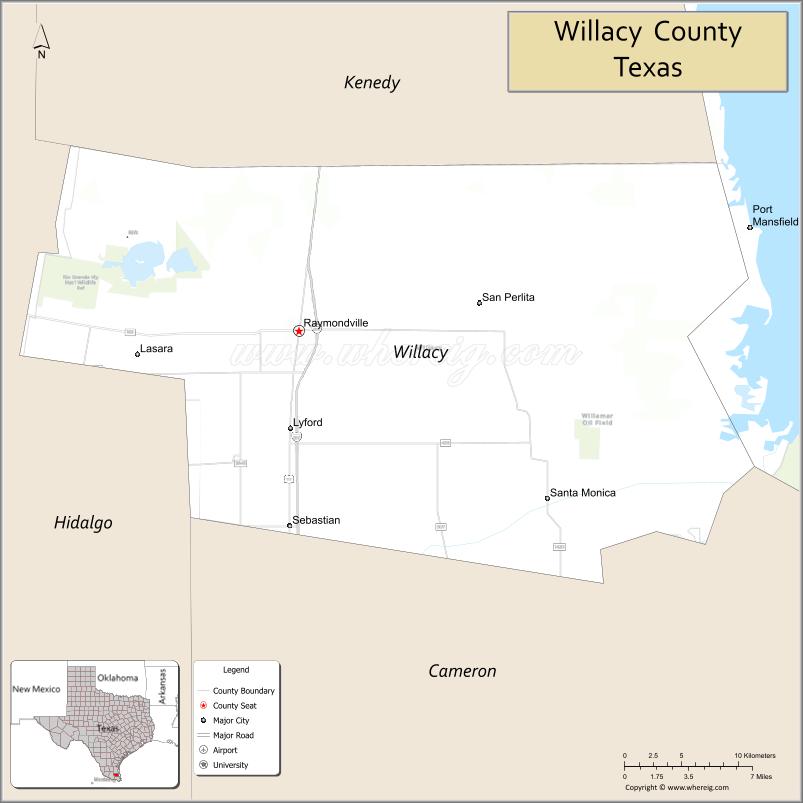
| Seat: | Raymondville |
| Largest city: | Raymondville |
| Total Area: | 784 sq mi (2,030 km²) |
| Land Area: | 591 sq mi (1,530 km²) |
| Total Population: | 20,164 |
| Population Density: | 26/sq mi (9.9/km²) |
| Time zone: | UTC−6 (Central) |
| Summer Time Zone (DST): | UTC−5 (CDT) |
| Website: | www.co.willacy.tx.us |
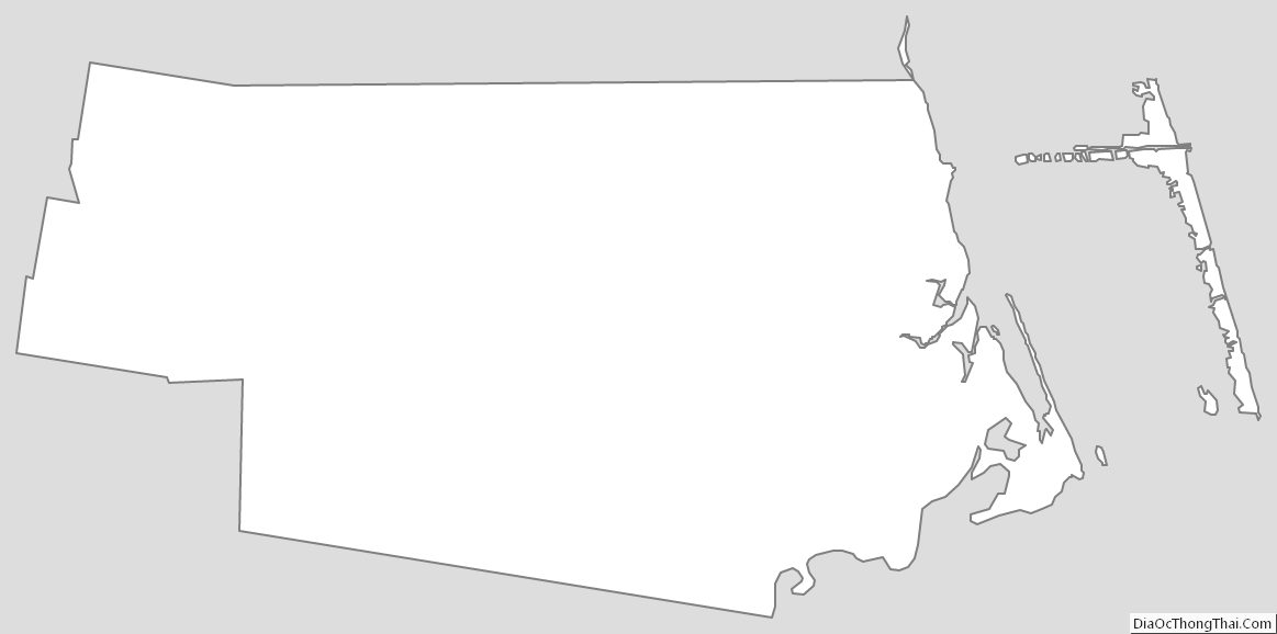
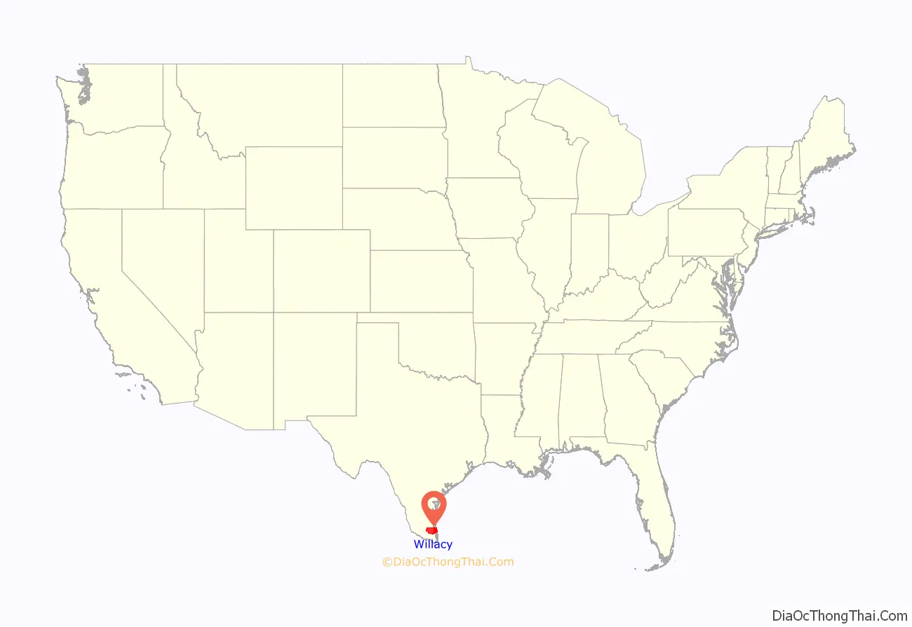
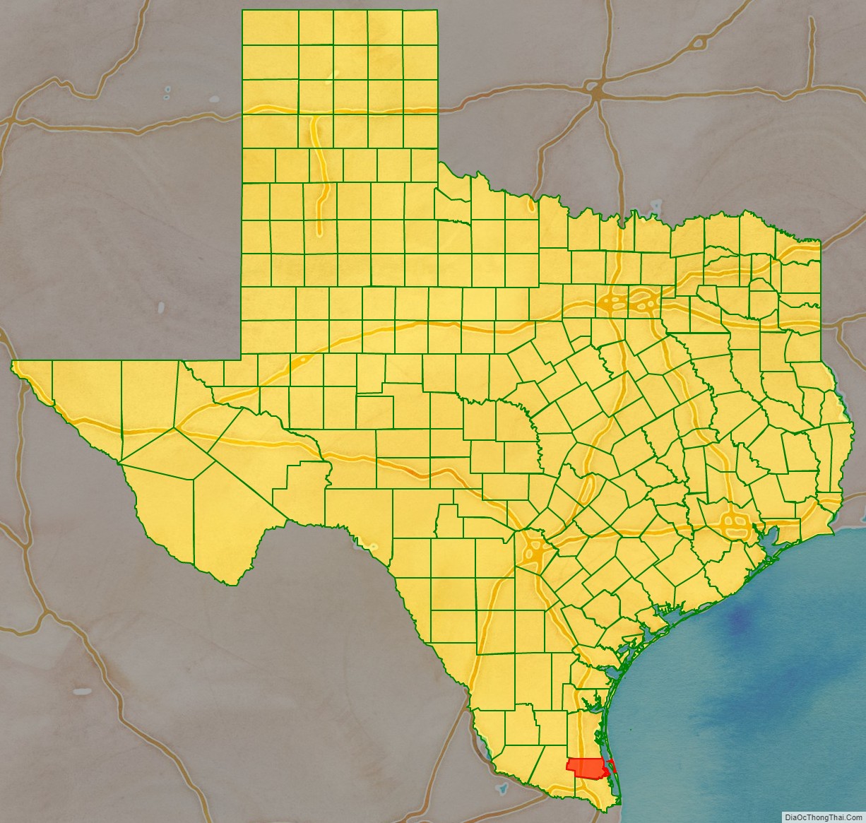
Willacy County location map. Where is Willacy County?
History
Willacy County was formed in 1911 from parts of Cameron and Hidalgo Counties, and originally included what is now Kenedy County; it was named for state senator John G. Willacy. Kenedy was split from Willacy in 1921, when the long-settled ranchers of the northern (Kenedy) part of the county sought to separate from the newly arrived farmers of the southern part.
The Bermuda onion was introduced to Willacy County in 1912. It grew well and slowly displaced ranchland in the southern part of the county, becoming the most important crop. For many years, the town of Raymondville held an annual Onion Festival, using the tag line, “The Breath of a Nation”. In 1940, the first oil wells were sunk in the county’s Willamar Oil Field; today, oil production is a major part of the local economy, although increasingly eclipsed by natural gas. Also in the 1940s, sorghum was introduced to the county, gradually displacing cotton and other crops. Cattle ranching remains a substantial economic activity, as well.
In the early 2010s, wind turbines began to be built in the rural part of the county east of U.S. Highway 77, a number expanded later in 2020. The turbines became an icon to the county’s identity, with their being visible from northern Cameron County and eastern Hidalgo County . Power-line infrastructure was also improved in this period.
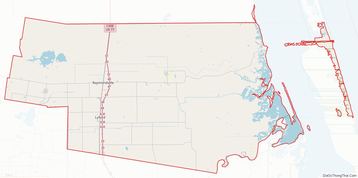
Willacy County Road Map
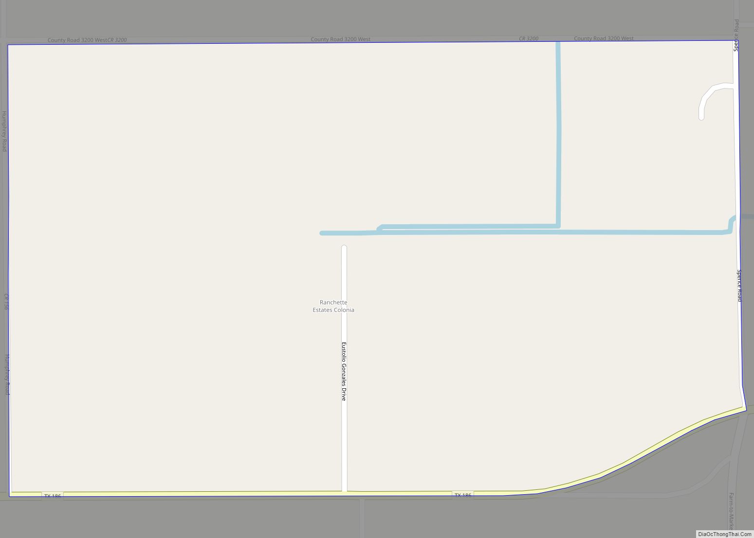
Geography
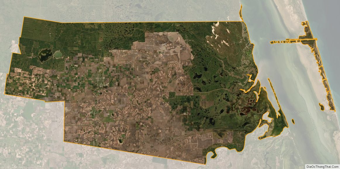
According to the U.S. Census Bureau, the county has a total area of 784 sq mi (2,030 km), of which 194 square miles (500 km) (25%) are covered by water. The county borders the Gulf of Mexico.
Major highways
- Interstate 69E/U.S. Highway 77
- State Highway 186
- Farm to Market Road 498
Adjacent counties
- Kenedy County (north)
- Cameron County (south)
- Hidalgo County (west)
National protected areas
- Laguna Atascosa National Wildlife Refuge (part)
- Padre Island National Seashore (part)
Willacy County Topographic Map
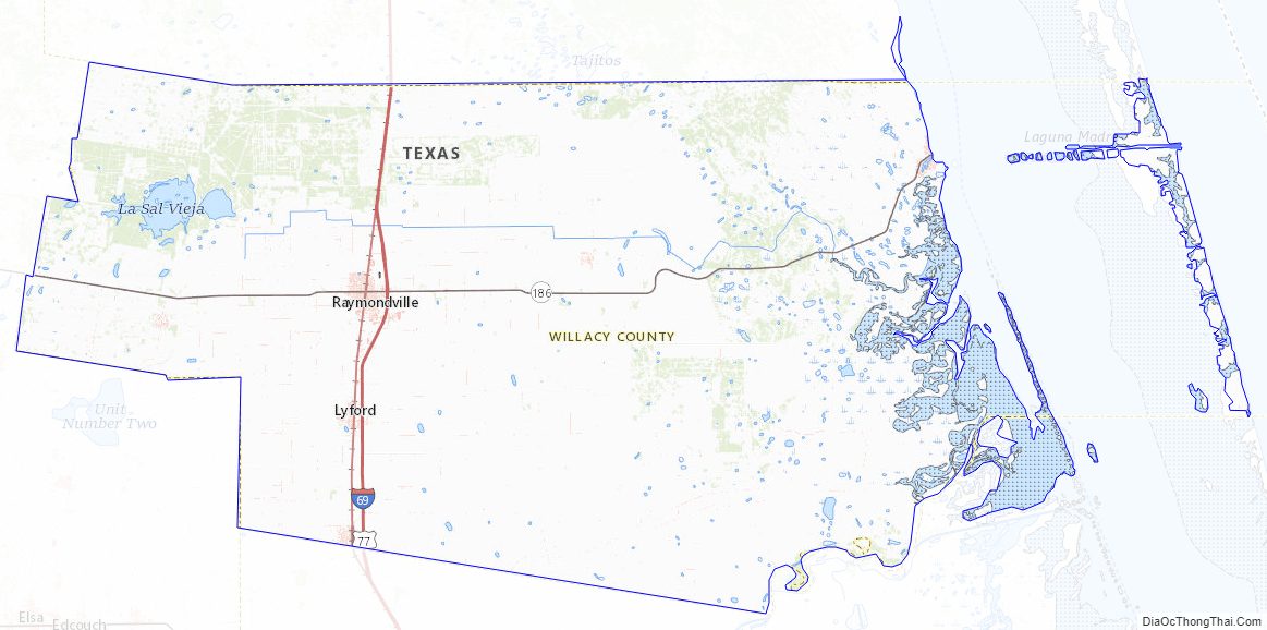
Willacy County Satellite Map
Willacy County Outline Map