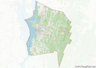
Windham County is a county located in the U.S. state of Vermont. As of the 2020 census, the population was 45,905. The shire town (county seat) is Newfane, and the largest municipality is the town of Brattleboro.
| Name: | Windham County |
|---|---|
| FIPS code: | 50-025 |
| State: | Vermont |
| Founded: | 1781 |
| Named for: | Windham, Vermont, which was named for Windham, Connecticut |
| Largest town: | Brattleboro |
| Total Area: | 798 sq mi (2,070 km²) |
| Land Area: | 785 sq mi (2,030 km²) |
| Total Population: | 45,905 |
| Population Density: | 58/sq mi (22/km²) |
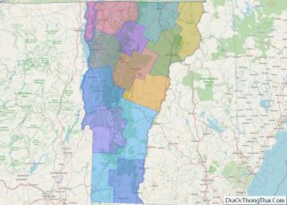
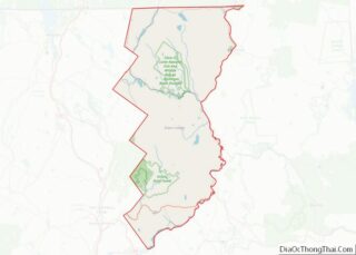
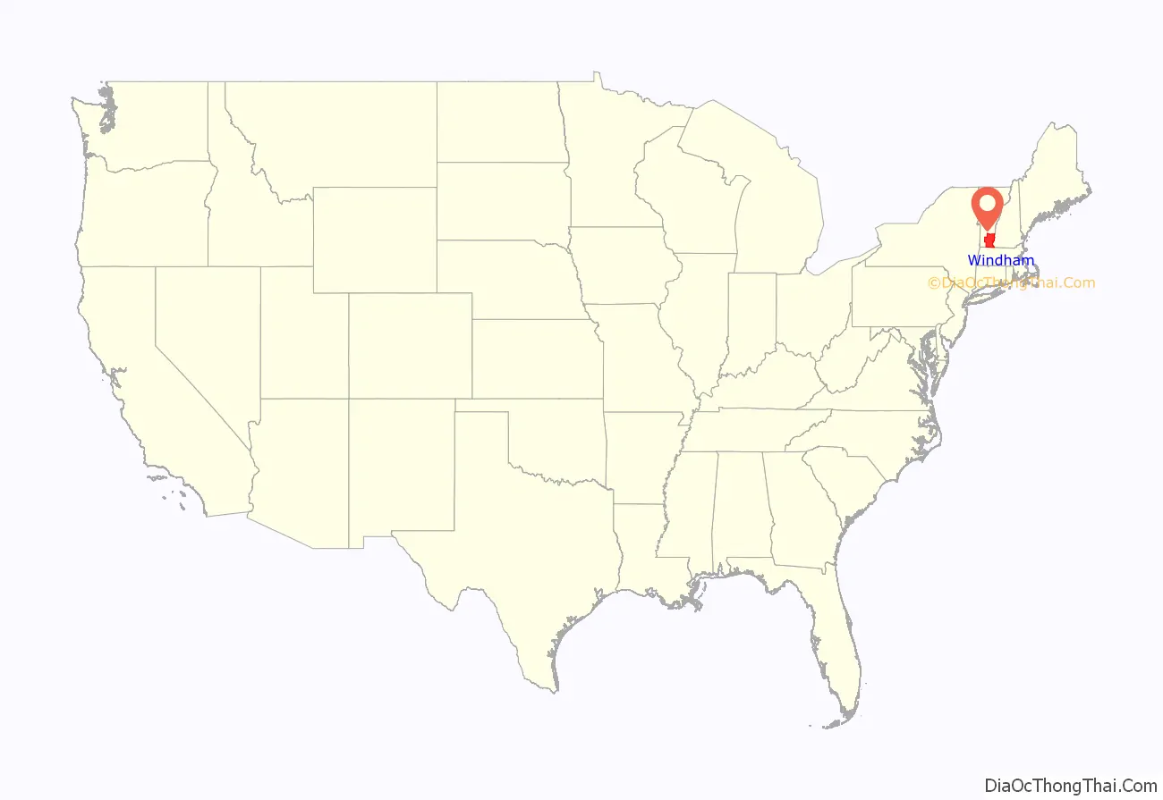
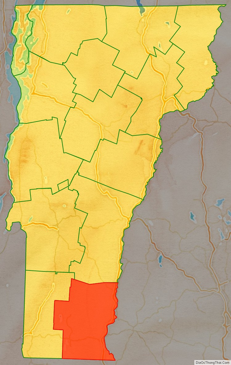
Windham County location map. Where is Windham County?
History
Fort Bridgman, Vernon, was burned in 1755, a casualty of the French and Indian War. The Court of Common Pleas (established 1768) of the County of Cumberland (established July 3, 1766) of the Province of New York was moved to the town of Westminster in 1772. On July 4, 1776, the Province of New York became an independent state.
On January 15, 1777, Vermont declared its independence from New York, and functioned as an independent republic until statehood in 1791. Cumberland County (N.Y.) and Gloucester County (N.Y.) were extinguished when Vermont declared its independence from New York; Albany County (N.Y.) and Charlotte County (now Washington County, N.Y.) were eliminated from Vermont.
Unity County was formed March 17, 1778, the eastern of the two original Vermont Republic counties. Unity County was renamed Cumberland County on March 21, 1778. Cumberland County and Bennington County (the eastern original county) exchanged land, adjusting their early border. On February 16, 1781 Rutland County was created from Bennington County, and Orange, Windham and Windsor Counties were created from Cumberland County. Some authors assume Cumberland County was renamed Windham County in 1781. Several original sources indicate Cumberland County was dissolved rather than renamed. This was probably to make a clean legal break from any connection with Cumberland County, New York, as some authors indicate the Cumberland County, Vermont Republic, records remained in Windham County. Newfane became the Shire Town of Windham County before 1812.
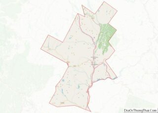
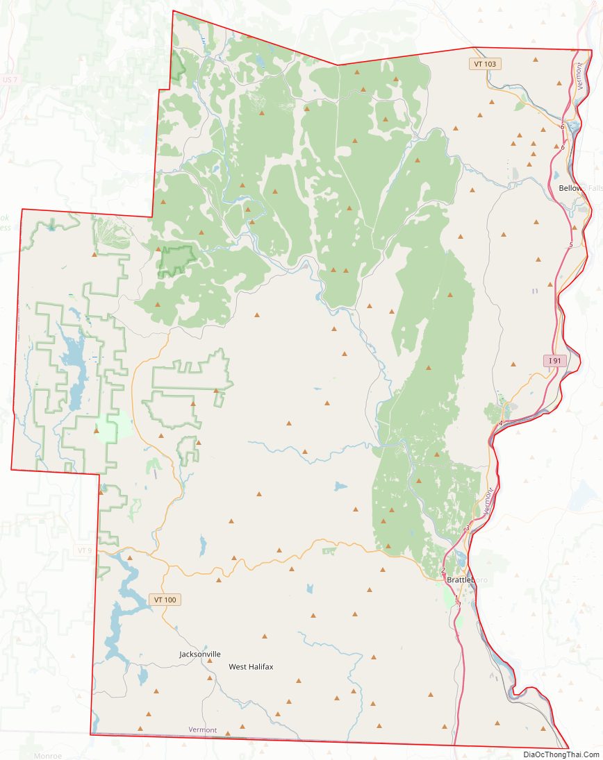
Windham County Road Map
Geography
According to the U.S. Census Bureau, the county has a total area of 798 square miles (2,070 km), of which 785 square miles (2,030 km) is land and 13 square miles (34 km) (1.6%) is water. It is the third-largest county in Vermont by land area.
Adjacent counties
- Windsor County – north
- Sullivan County, New Hampshire – northeast
- Cheshire County, New Hampshire – east
- Franklin County, Massachusetts – south
- Bennington County – west
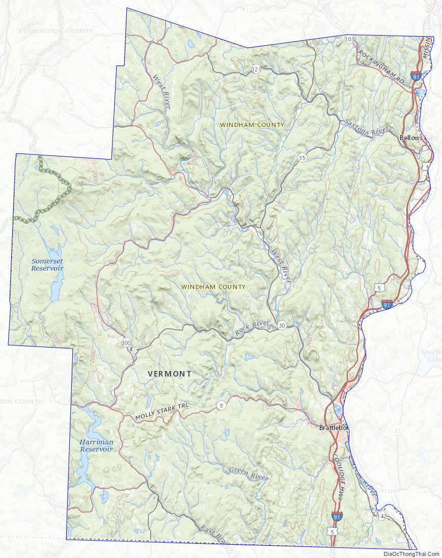
Reservoirs
- Ball Mountain Lake
- Harriman Reservoir (also sometimes called Lake Whitingham or Whitingham Reservoir)
- Townshend Lake
National protected areas
- Green Mountain National Forest (part)
- Silvio O. Conte National Fish and Wildlife Refuge (part)
Windham County Topographic Map
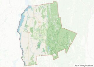
Windham County Satellite Map

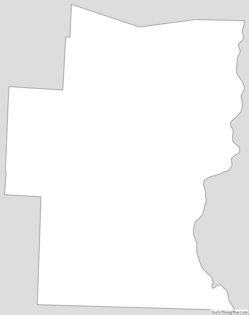
Windham County Outline Map