Windsor County is a county located in the U.S. state of Vermont. As of the 2020 census, the population was 57,753. The shire town (county seat) is the town of Woodstock. The county’s largest municipality is the town of Hartford.
| Name: | Windsor County |
|---|---|
| FIPS code: | 50-027 |
| State: | Vermont |
| Founded: | 1781 |
| Named for: | Windsor, Vermont, which was named for Windsor, Connecticut |
| Largest town: | Hartford |
| Total Area: | 977 sq mi (2,530 km²) |
| Land Area: | 969 sq mi (2,510 km²) |
| Total Population: | 57,753 |
| Population Density: | 59/sq mi (23/km²) |
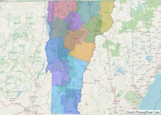
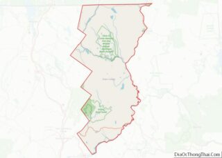
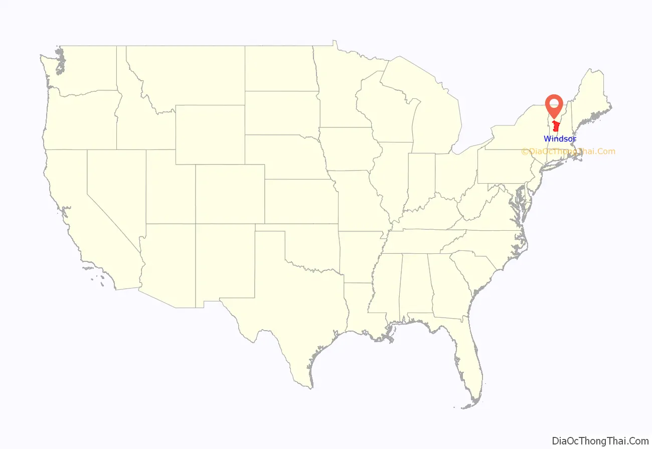
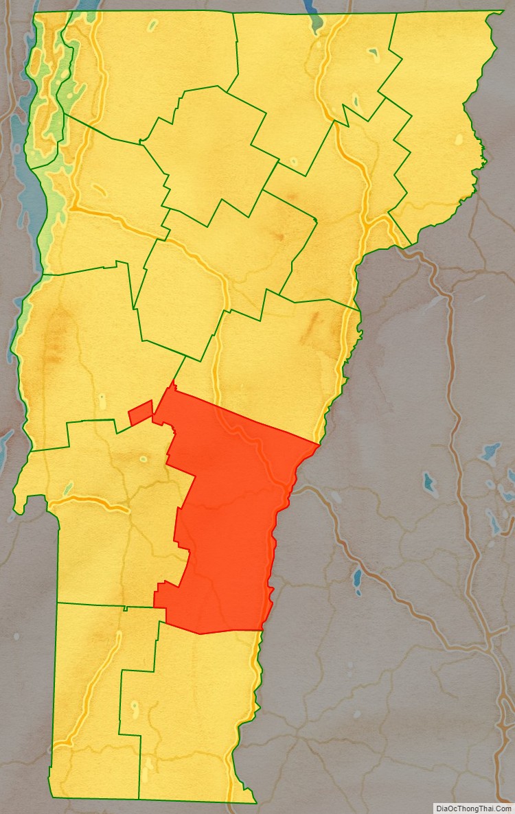
Windsor County location map. Where is Windsor County?
History
Windsor County is one of several Vermont counties created from land ceded by the State of New York on 15 January 1777 when Vermont declared itself to be a distinct state from New York. The land originally was contested by Massachusetts, New Hampshire, and New Netherland, but it remained undelineated until July 20, 1764, when King George III established the boundary between Province of New Hampshire and Province of New York along the west bank of the Connecticut River, north of Massachusetts and south of the parallel of 45 degrees north latitude. New York assigned the land gained to Albany County. On March 12, 1772, Albany County was partitioned to create Charlotte County, and this situation remained until Vermont’s independence from New York and Britain.
Windsor County was established on February 16, 1781, from parts of Cumberland County and organized the same year.
Windsor County is notable for being the birthplace (1805) of Joseph Smith, Jr., founder of the Latter Day Saint movement. Calvin Coolidge, the 30th U.S. president, was also born in Windsor County.
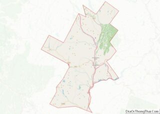
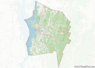
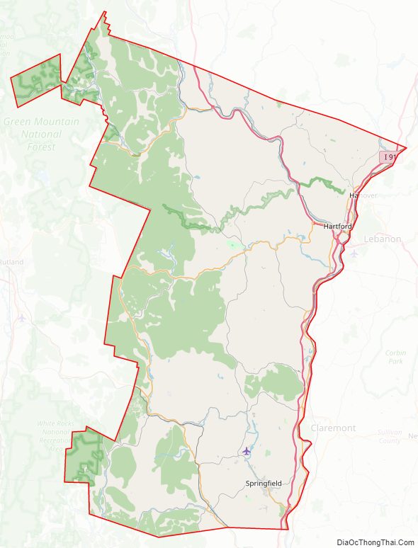
Windsor County Road Map
Geography
According to the U.S. Census Bureau, the county has a total area of 977 square miles (2,530 km), of which 969 square miles (2,510 km) is land and 7.4 square miles (19 km) (0.8%) is water. It is the largest county by area in Vermont.
Adjacent counties
- Orange County – north
- Grafton County, New Hampshire – northeast
- Sullivan County, New Hampshire – east
- Windham County – south
- Bennington County – southwest
- Rutland County – west
- Addison County – northwest
National parks
- Green Mountain National Forest (part)
- Marsh-Billings-Rockefeller National Historical Park
- White Rocks National Recreation Area (part)
Major highways
- I-89
- I-91
- US 4
- US 5
- VT 10
- VT 11
- VT 12
- VT 14
- VT 35
- VT 44
- VT 73
- VT 100
- VT 100A
- VT 103
- VT 106
- VT 107
- VT 131
- VT 132
- VT 155
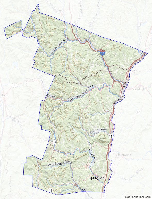
Windsor County Topographic Map
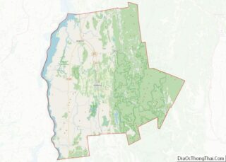
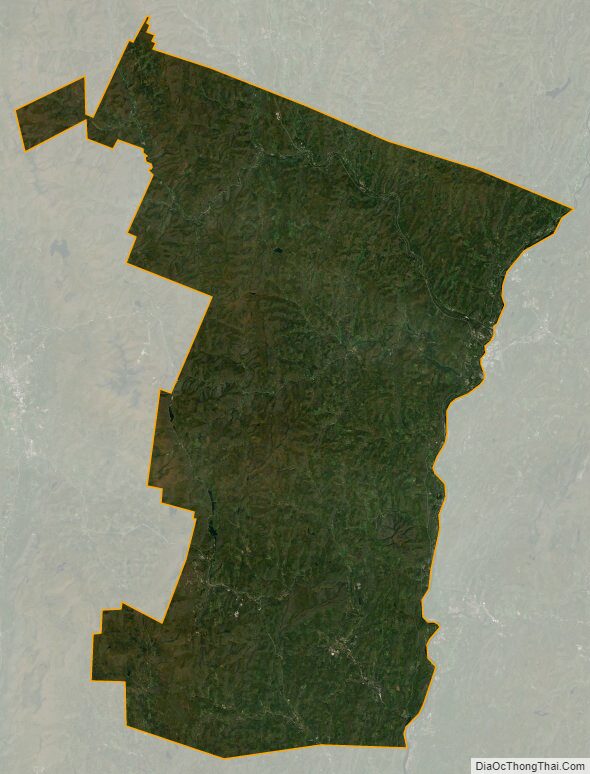
Windsor County Satellite Map
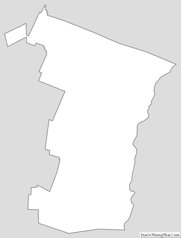
Windsor County Outline Map