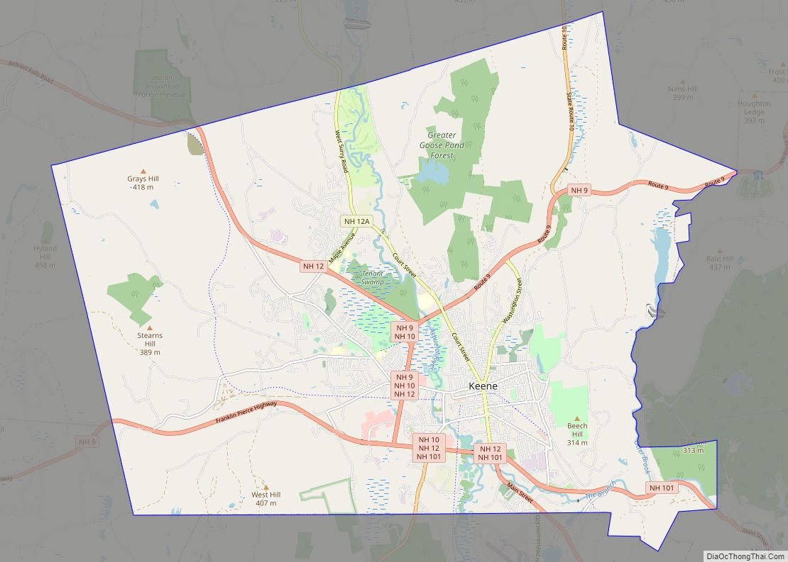
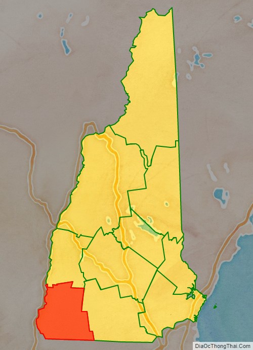
Cheshire County is a county in the southwestern corner of the U.S. state of New Hampshire. As of the 2020 census, the population was 76,458. Its county seat is the city of Keene. Cheshire was one of the five original counties of New Hampshire, and is named for the county of Cheshire in England. It was organized in 1771 at Keene. Sullivan County was created from the northern portion of Cheshire County in 1827.
Cheshire County comprises the Keene, NH micropolitan statistical area.
| Name: | Cheshire County |
|---|---|
| FIPS code: | 33-005 |
| State: | New Hampshire |
| Founded: | 1769 |
| Named for: | Cheshire |
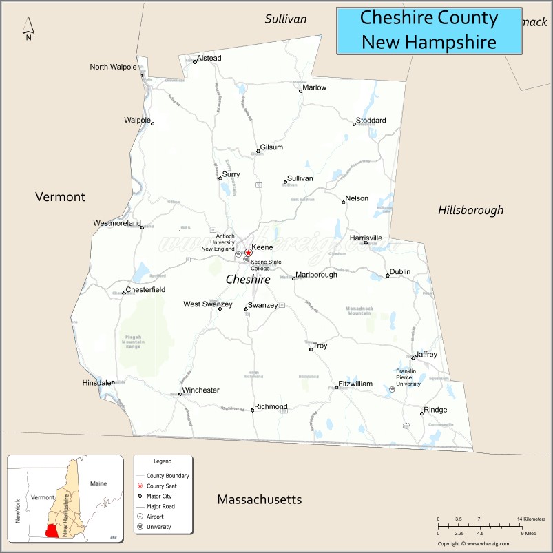
| Seat: | Keene |
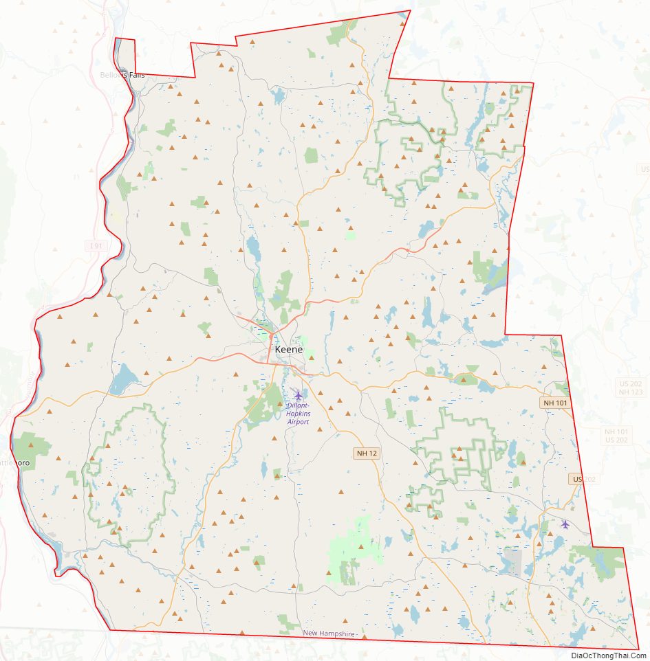
| Largest city: | Keene |
| Total Area: | 728.9 sq mi (1,888 km²) |
| Land Area: | 706.7 sq mi (1,830 km²) |
| Total Population: | 76,458 |
| Population Density: | 108.2/sq mi (41.8/km²) |
| Time zone: | UTC−5 (Eastern) |
| Summer Time Zone (DST): | UTC−4 (EDT) |
| Website: | co.cheshire.nh.us |
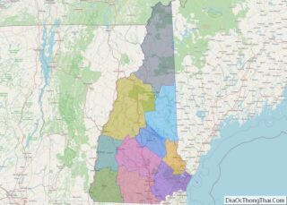
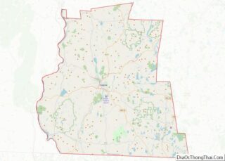
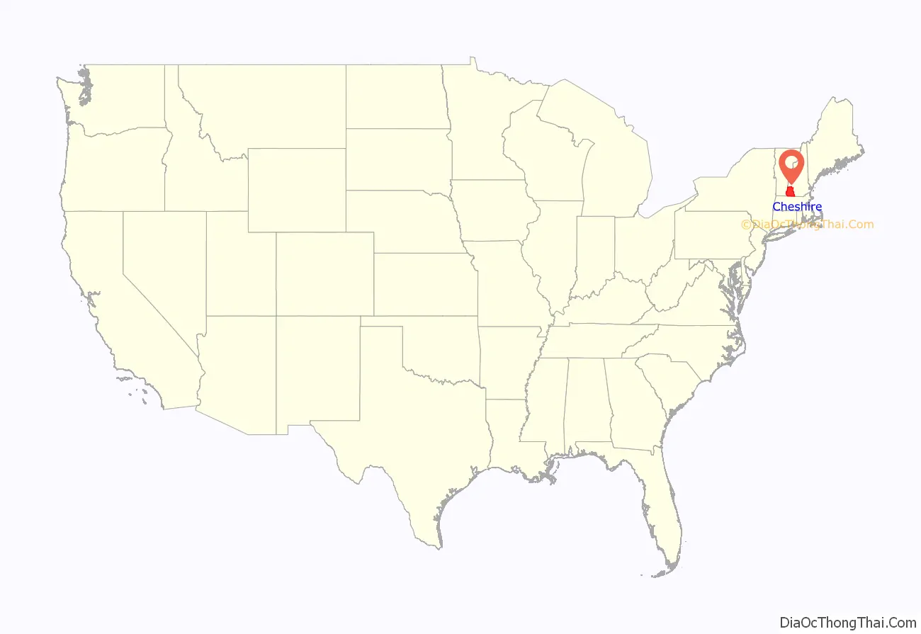
Cheshire County location map. Where is Cheshire County?
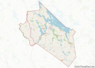
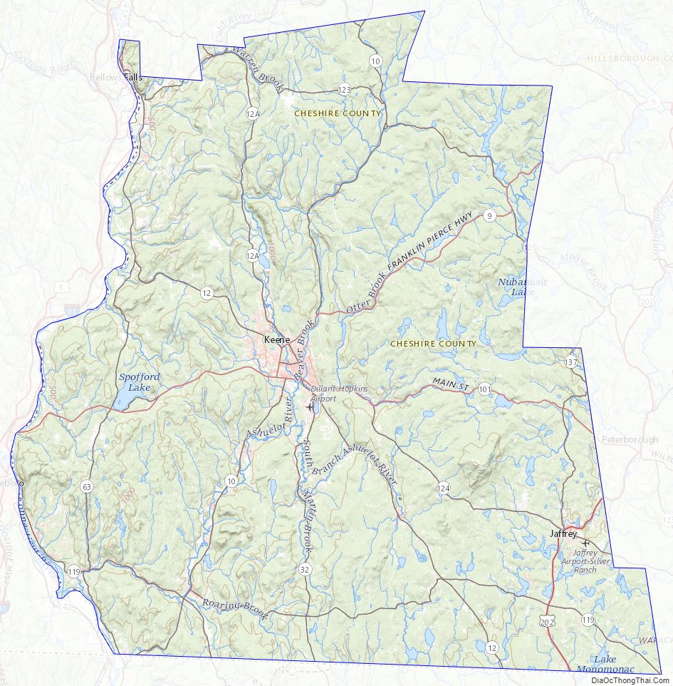
Cheshire County Road Map
Geography
According to the U.S. Census Bureau, the county has an area of 729 square miles (1,890 km), of which 707 square miles (1,830 km) is land and 22 square miles (57 km) (3.1%) is water. The highest point in Cheshire county is Mount Monadnock, in the northwestern part of Jaffrey, at 3,165 feet (965 m).
Adjacent counties
- Sullivan County (north)
- Hillsborough County (east)
- Worcester County, Massachusetts (southeast)
- Franklin County, Massachusetts (southwest)
- Windham County, Vermont (west)
Geographical landmarks
- Mount Monadnock
- Pisgah State Park
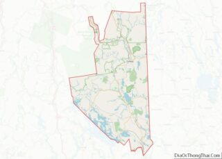
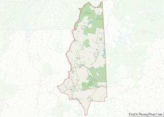
Cheshire County Topographic Map
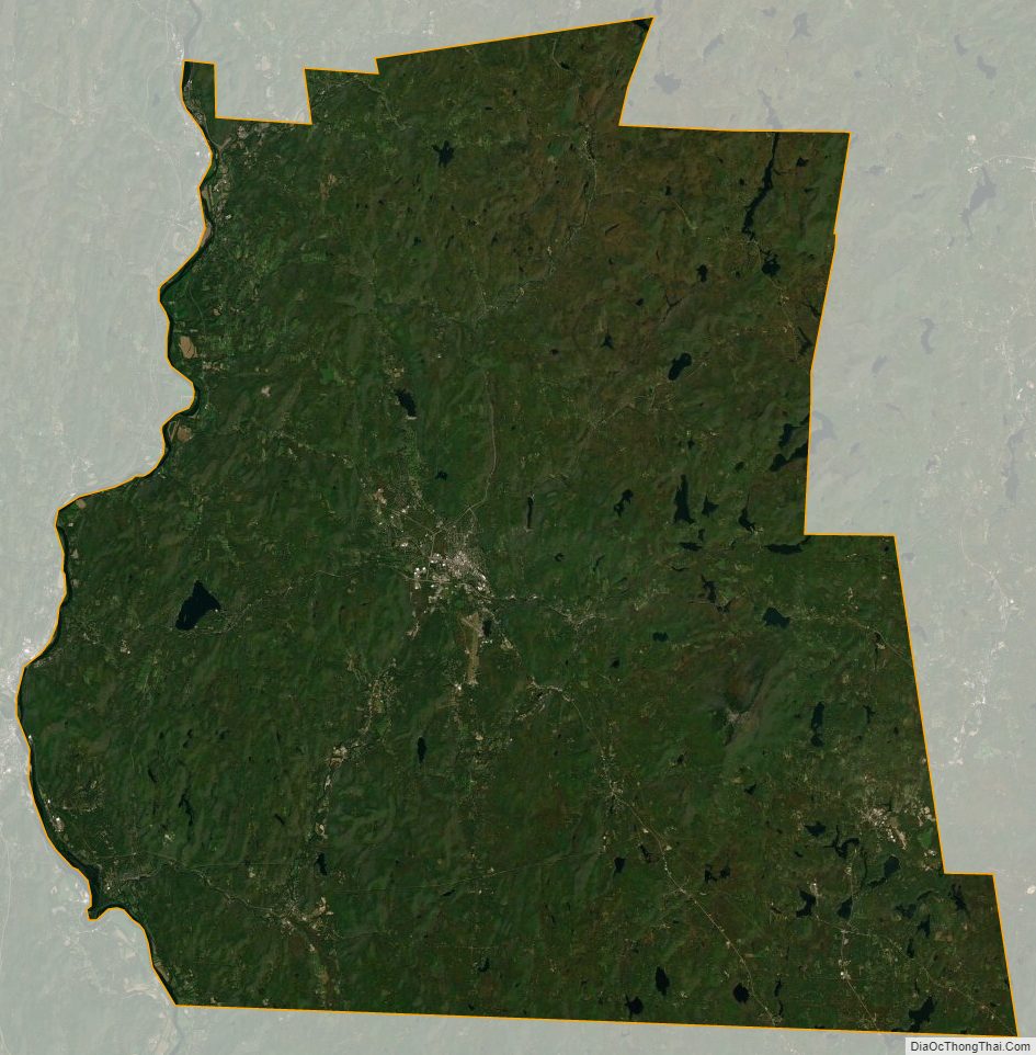
Cheshire County Satellite Map
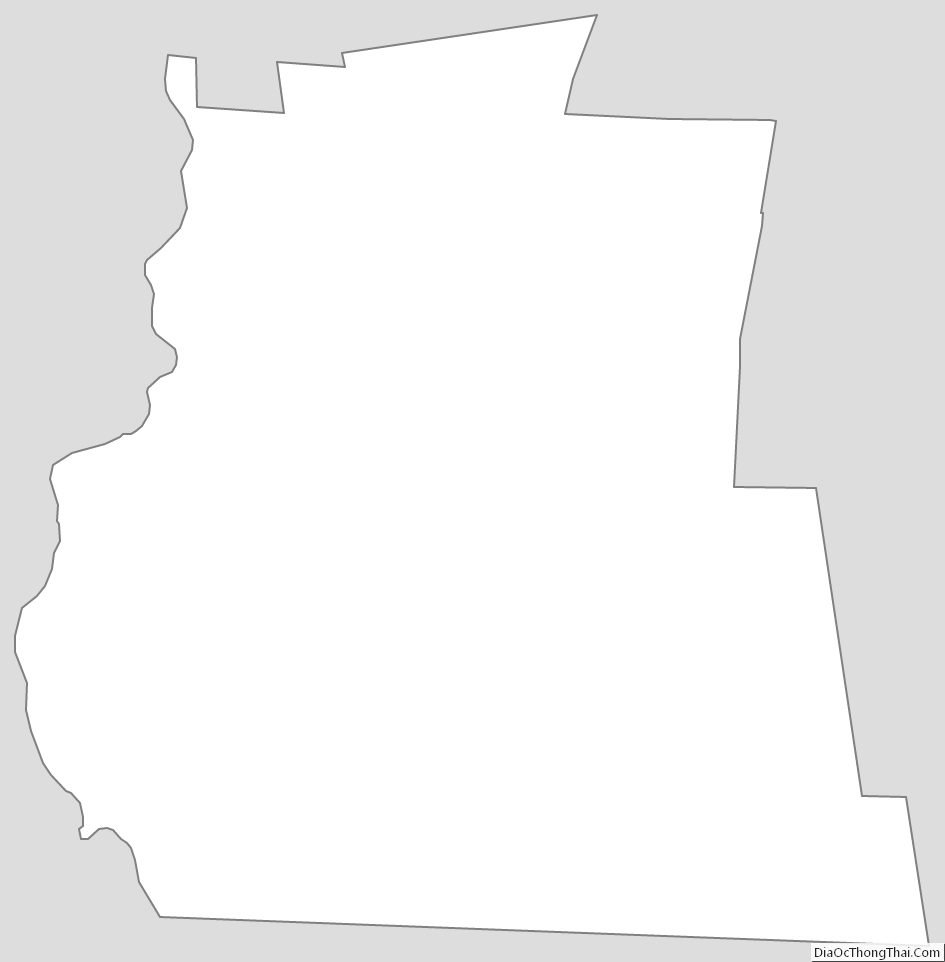
Cheshire County Outline Map