Winnebago County is a county in the U.S. state of Iowa. As of the 2020 census, the population was 10,679. The county seat is Forest City. The county was founded in 1847 and named after the Native American tribe. It is the location of the motor homes manufacturer Winnebago Industries.
| Name: | Winnebago County |
|---|---|
| FIPS code: | 19-189 |
| State: | Iowa |
| Founded: | 1847 |
| Named for: | Winnebago tribe |
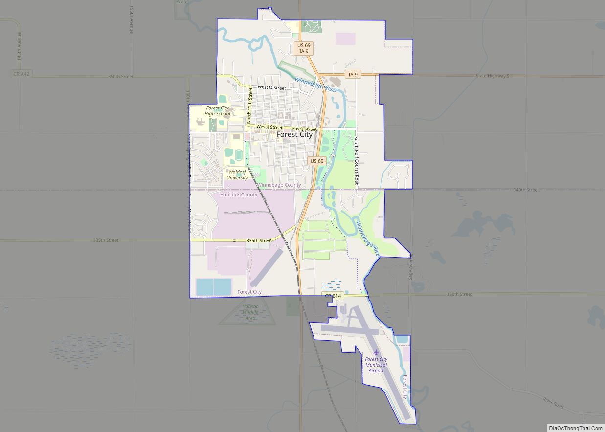
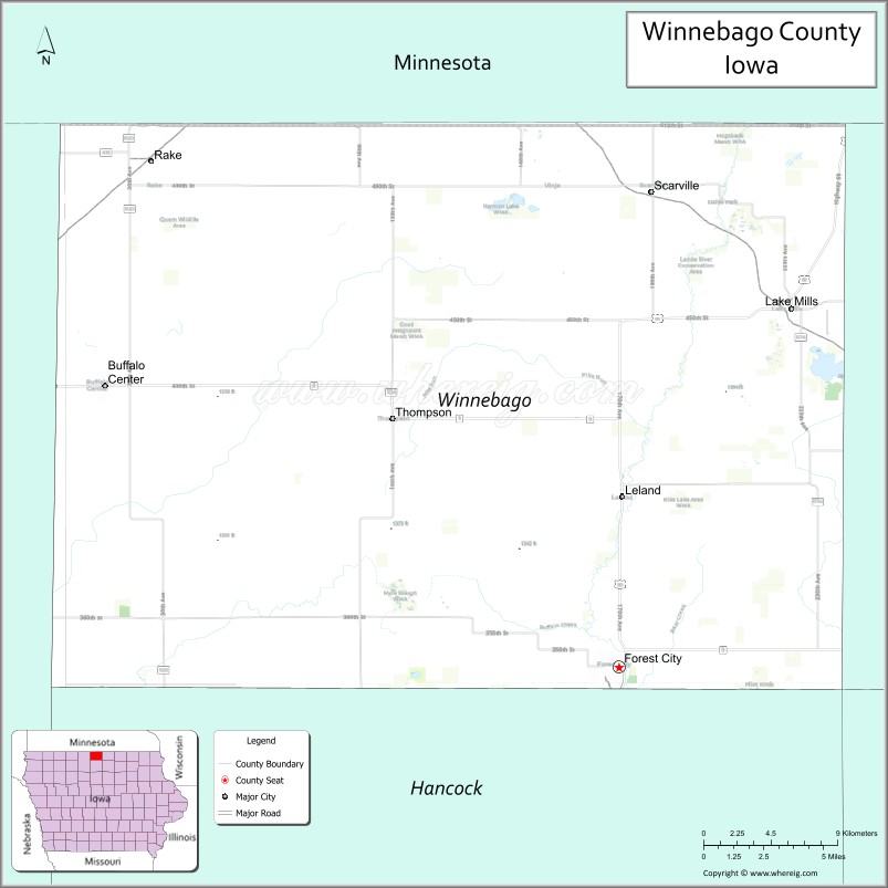
| Seat: | Forest City |
| Largest city: | Forest City |
| Total Area: | 402 sq mi (1,040 km²) |
| Land Area: | 400 sq mi (1,000 km²) |
| Total Population: | 10,679 |
| Population Density: | 27/sq mi (10/km²) |
| Time zone: | UTC−6 (Central) |
| Summer Time Zone (DST): | UTC−5 (CDT) |
| Website: | www.winnebagocountyiowa.gov |
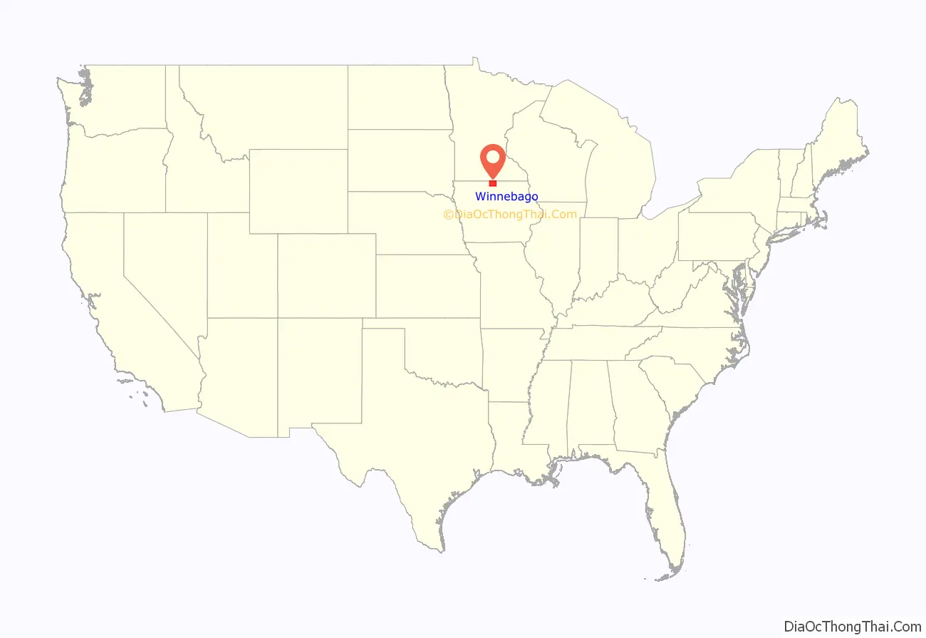
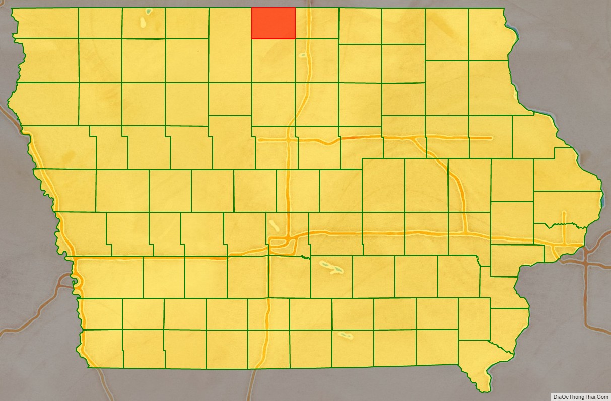
Winnebago County location map. Where is Winnebago County?
History
“When the first white settlers came into the county, and for some years thereafter, roving bands of Winnebago Indians made their temporary home within the limits of the county. At times there would be as many as one hundred living along the Lime Creek valley or about Coon Grove, and at other times there would be but a mere handful … During the summer seasons they would cache their cooking utensils, leave their tepees standing and go northward into Minnesota to hunt and trap. At that time the Winnebago agency was located about forty miles north of Forest City.” The Winnebago were removed after the Dakota War of 1862.
Initial settlement was in the wooded eastern third of the county, with prairie and marshy areas in the west being settled after 1880. Early teachers in Winnebago County were required to be able to converse in the language of their pupils. Many of the county’s pioneers were of Norwegian descent.
The oldest standing structure in the county is Trinity Church, built in 1874.
In 1938, the Winnebago Rural Electric Cooperative was established. The first section of lines was energized on January 3, 1940.
A 1951 movie by the Rural Electrification Administration featured local residents describing the struggles for adequate phone service in Winnebago County, prior to the federal loan which enabled the Winnebago Cooperative Telephone Association to convert the area to modern dial service.
The Winnebago Industries RV manufacturing company was founded in Forest City in 1958.
The Winnebago Historical Society is located in the Mansion Museum in Forest City.
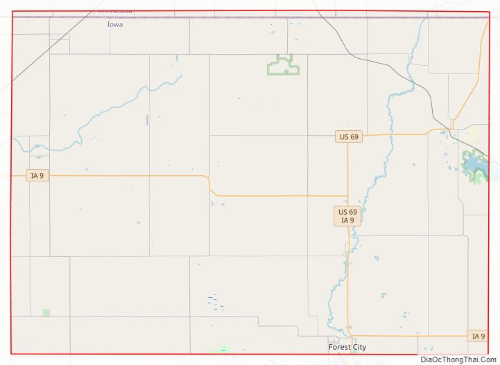
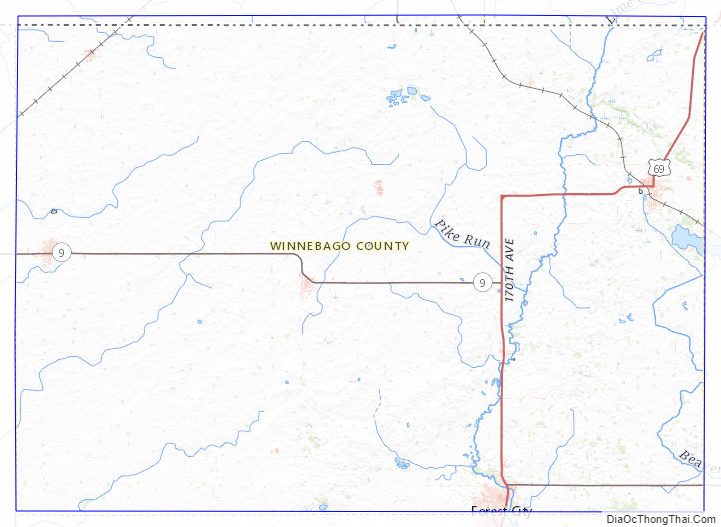
Winnebago County Road Map
Geography
According to the U.S. Census Bureau, the county has an area of 402 square miles (1,040 km), of which 400 square miles (1,000 km) is land and 1.2 square miles (3.1 km) (0.3%) is water. It is Iowa’s fifth-smallest county by land area and second-smallest by total area.
Adjacent counties
- Faribault County, Minnesota (northwest)
- Freeborn County, Minnesota (northeast)
- Worth County (east)
- Hancock County (south)
- Kossuth County (west)
- Cerro Gordo County (southeast)
Winnebago County Topographic Map
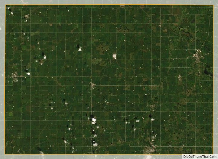
Winnebago County Satellite Map
Winnebago County Outline Map