Forest City is a city in Hancock and Winnebago counties in the U.S. state of Iowa, and the county seat of Winnebago County. The population was 4,285 in the 2020 census, a decline from the 4,362 population in 2000.
| Name: | Forest City city |
|---|---|
| LSAD Code: | 25 |
| LSAD Description: | city (suffix) |
| State: | Iowa |
| County: | Hancock County, Winnebago County |
| Incorporated: | June 14, 1878 |
| Elevation: | 1,257 ft (383 m) |
| Total Area: | 4.59 sq mi (11.90 km²) |
| Land Area: | 4.59 sq mi (11.90 km²) |
| Water Area: | 0.00 sq mi (0.00 km²) |
| Total Population: | 4,285 |
| Population Density: | 932.54/sq mi (360.07/km²) |
| ZIP code: | 50436 |
| Area code: | 641 |
| FIPS code: | 1928380 |
| GNISfeature ID: | 0456667 |
| Website: | www.cityofforestcity.com |
Online Interactive Map
Click on ![]() to view map in "full screen" mode.
to view map in "full screen" mode.
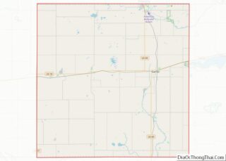
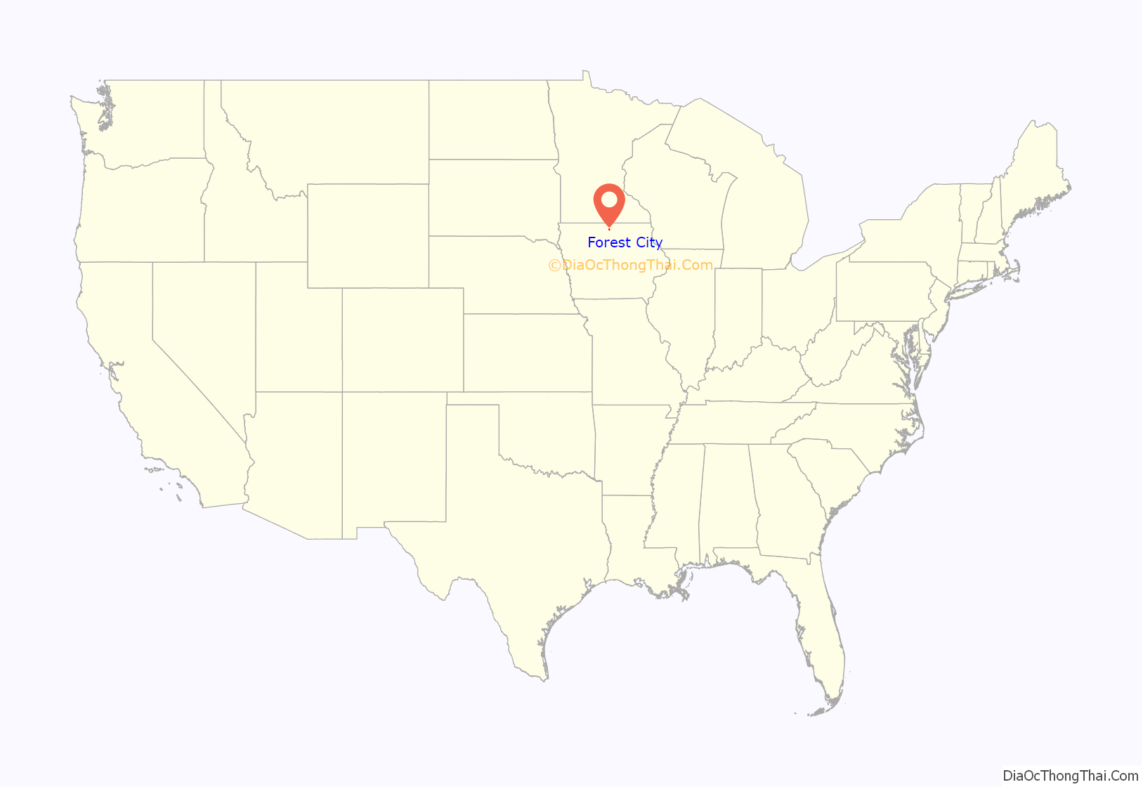
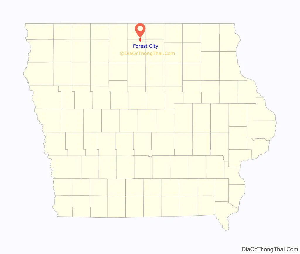
Forest City location map. Where is Forest City city?
History
Forest City was officially founded in 1855. Formerly known as “Puckerbrush”, Robert Clark the official founder/surveyor deemed it “Forest City” because it was cut right out of the trees. It was then platted in 1856, and later incorporated on June 14, 1878. The population started to grow when immigrants from Sweden and Norway settled in the Forest City because of the similar topography. Its growth continued when city leaders convinced Minneapolis and St. Louis Railroad to come to Forest City. Although the Civil War stunted the city’s growth, many immigrants found the city attractive. Later on churches, banks, a college (Waldorf University), electricity, and the telephone turned Forest City into an ideal country town. Then in 1960, investors took over a failing travel trailer factory and created Winnebago Industries causing the population to grow exponentially. Winnebago’s corporate headquarters were later relocated to Eden Prairie, Minnesota causing the population to decline. Today, Forest City’s population is around 4,200.
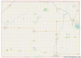
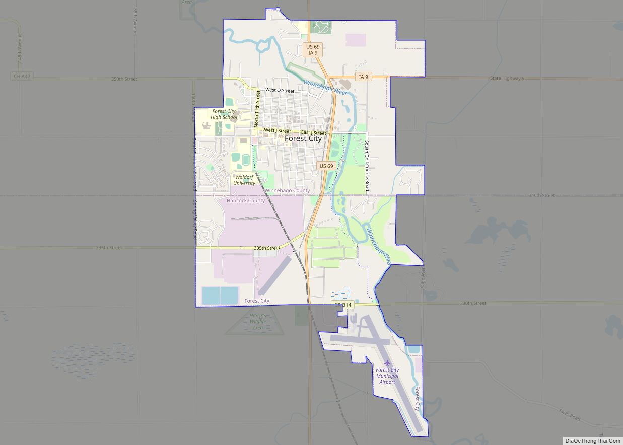
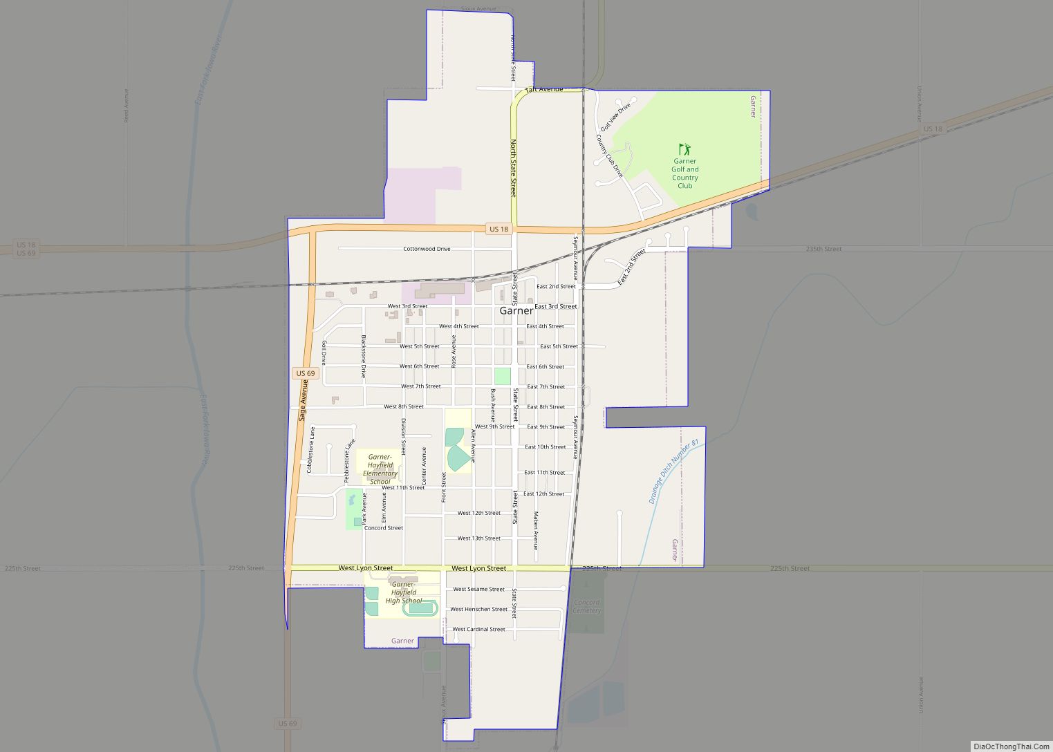
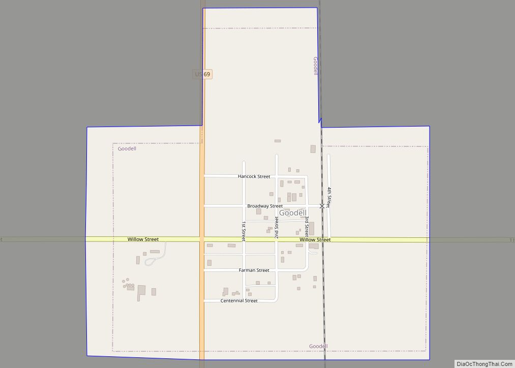
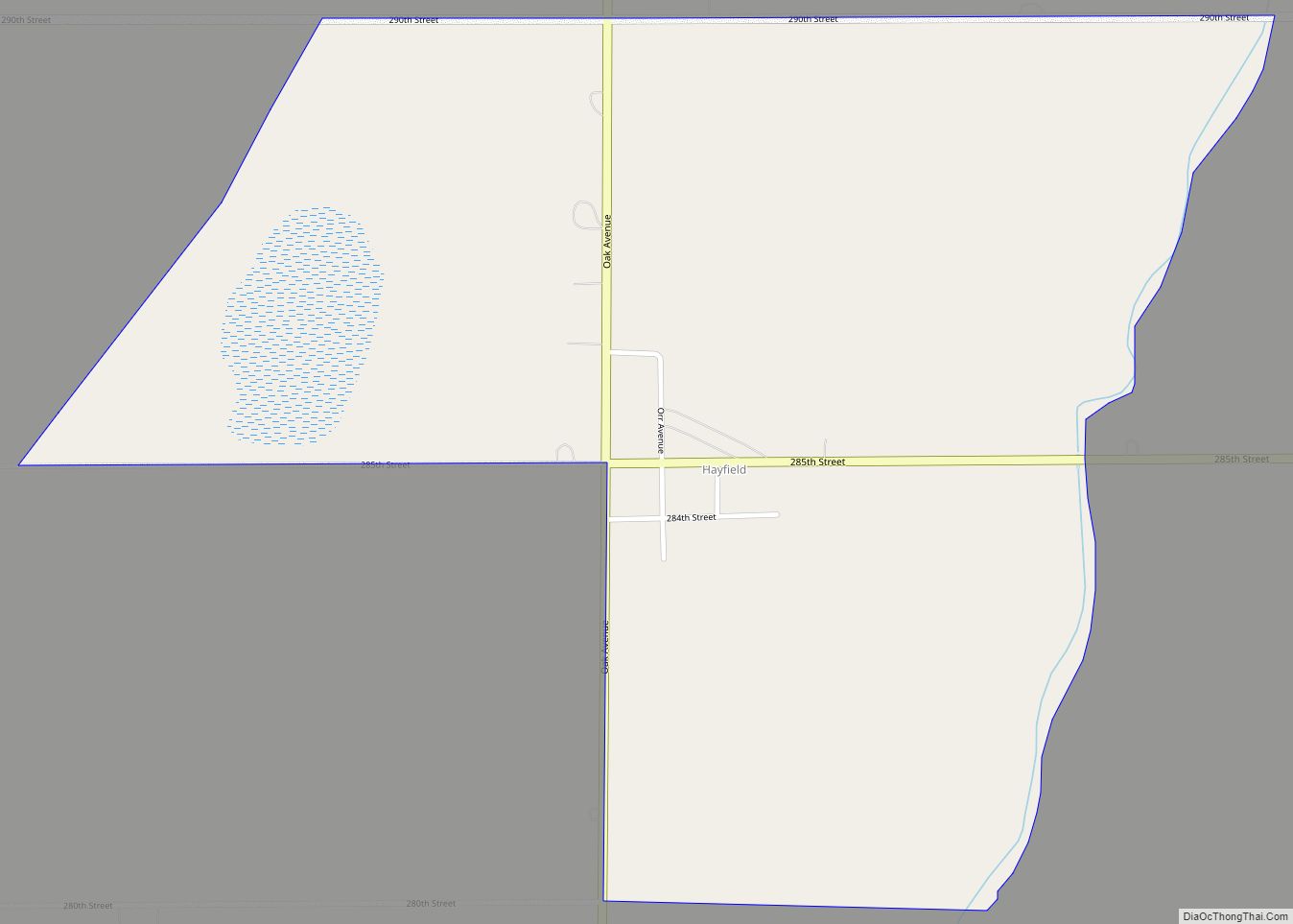
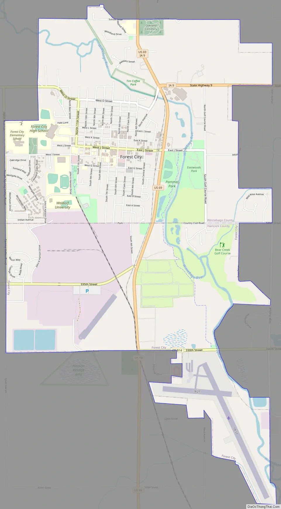
Forest City Road Map
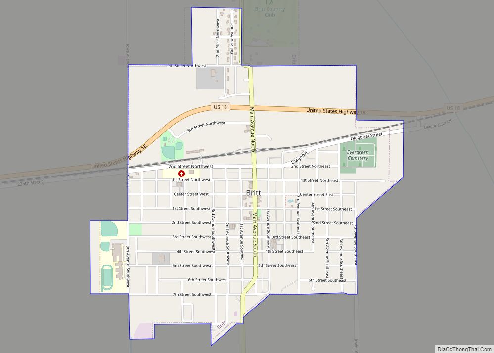
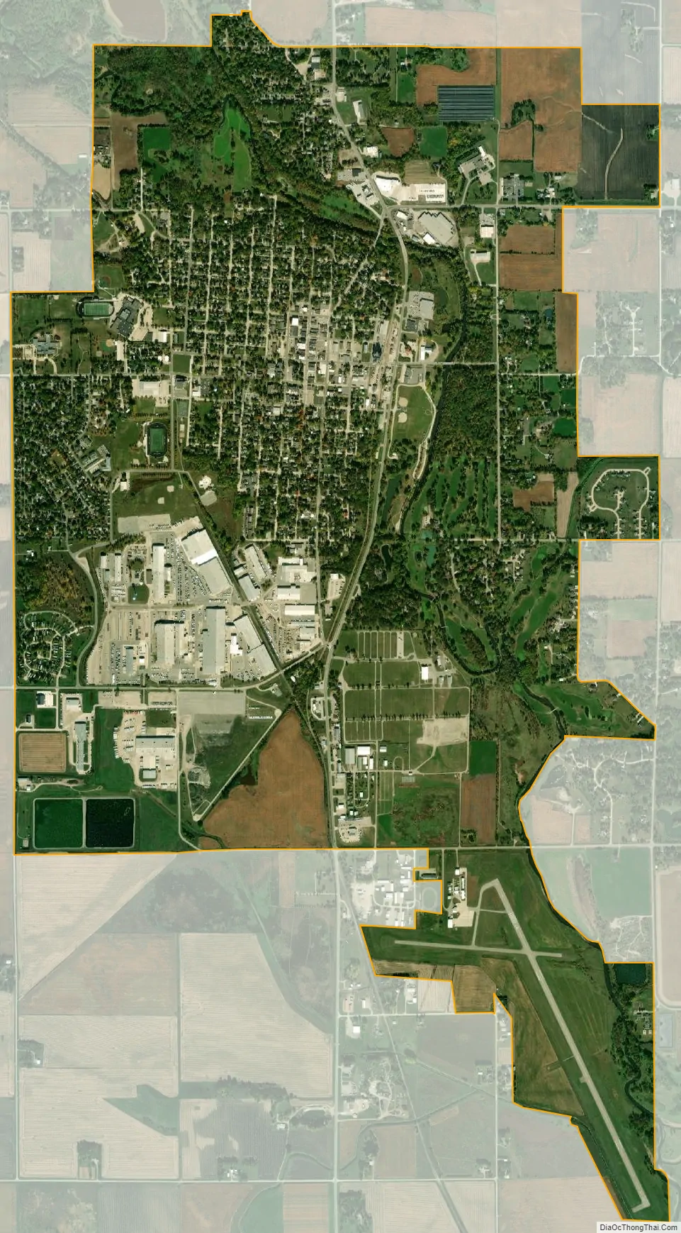
Forest City city Satellite Map
Geography
Forest City’s longitude and latitude coordinates
in decimal form are 43.262077, -93.640302.
According to the United States Census Bureau, the city has a total area of 4.64 square miles (12.02 km), all land.
See also
Map of Iowa State and its subdivision:- Adair
- Adams
- Allamakee
- Appanoose
- Audubon
- Benton
- Black Hawk
- Boone
- Bremer
- Buchanan
- Buena Vista
- Butler
- Calhoun
- Carroll
- Cass
- Cedar
- Cerro Gordo
- Cherokee
- Chickasaw
- Clarke
- Clay
- Clayton
- Clinton
- Crawford
- Dallas
- Davis
- Decatur
- Delaware
- Des Moines
- Dickinson
- Dubuque
- Emmet
- Fayette
- Floyd
- Franklin
- Fremont
- Greene
- Grundy
- Guthrie
- Hamilton
- Hancock
- Hardin
- Harrison
- Henry
- Howard
- Humboldt
- Ida
- Iowa
- Jackson
- Jasper
- Jefferson
- Johnson
- Jones
- Keokuk
- Kossuth
- Lee
- Linn
- Louisa
- Lucas
- Lyon
- Madison
- Mahaska
- Marion
- Marshall
- Mills
- Mitchell
- Monona
- Monroe
- Montgomery
- Muscatine
- O'Brien
- Osceola
- Page
- Palo Alto
- Plymouth
- Pocahontas
- Polk
- Pottawattamie
- Poweshiek
- Ringgold
- Sac
- Scott
- Shelby
- Sioux
- Story
- Tama
- Taylor
- Union
- Van Buren
- Wapello
- Warren
- Washington
- Wayne
- Webster
- Winnebago
- Winneshiek
- Woodbury
- Worth
- Wright
- Alabama
- Alaska
- Arizona
- Arkansas
- California
- Colorado
- Connecticut
- Delaware
- District of Columbia
- Florida
- Georgia
- Hawaii
- Idaho
- Illinois
- Indiana
- Iowa
- Kansas
- Kentucky
- Louisiana
- Maine
- Maryland
- Massachusetts
- Michigan
- Minnesota
- Mississippi
- Missouri
- Montana
- Nebraska
- Nevada
- New Hampshire
- New Jersey
- New Mexico
- New York
- North Carolina
- North Dakota
- Ohio
- Oklahoma
- Oregon
- Pennsylvania
- Rhode Island
- South Carolina
- South Dakota
- Tennessee
- Texas
- Utah
- Vermont
- Virginia
- Washington
- West Virginia
- Wisconsin
- Wyoming