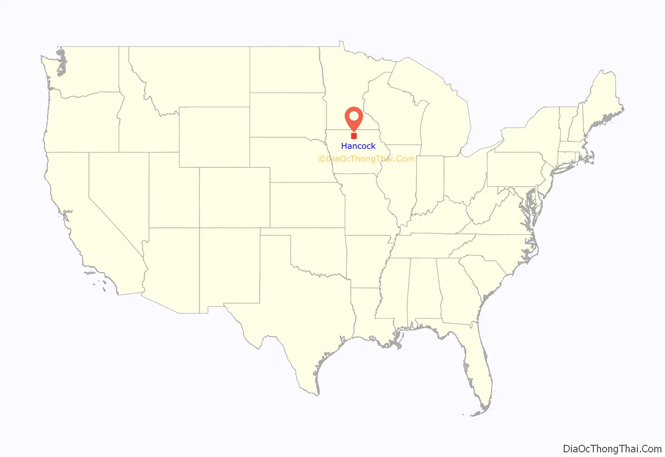
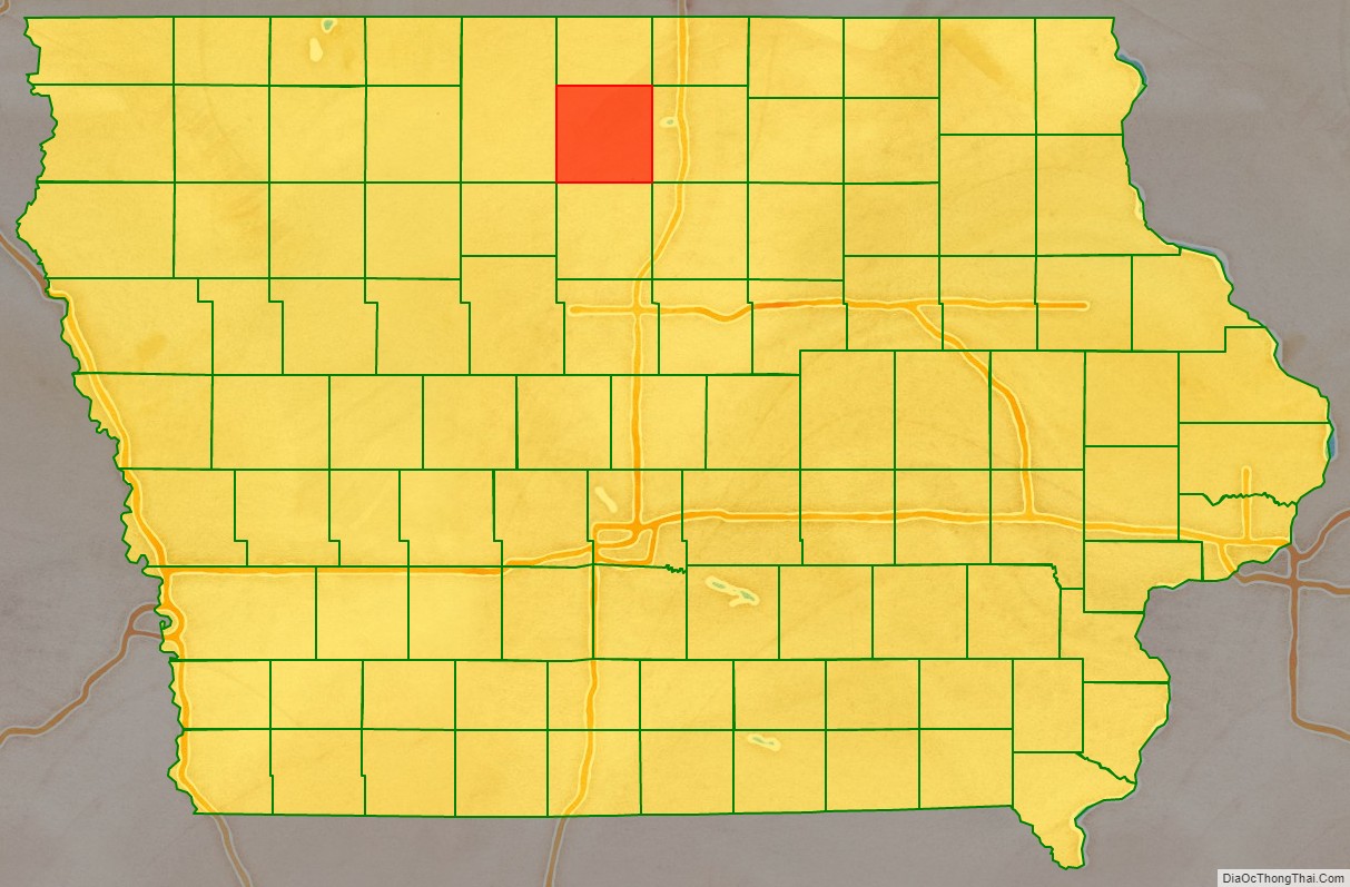
Hancock County is a county in the U.S. state of Iowa. As of the 2020 census, the population was 10,795. The county seat is Garner. The county was founded on January 15, 1851, and named in honor of John Hancock, a leader of the Continental Congress during the American Revolution.
| Name: | Hancock County |
|---|---|
| FIPS code: | 19-081 |
| State: | Iowa |
| Founded: | 1851 |
| Named for: | John Hancock |
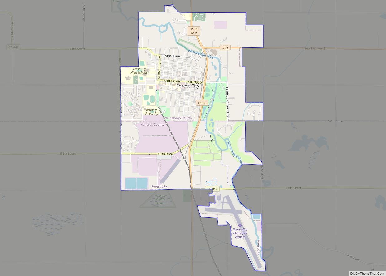
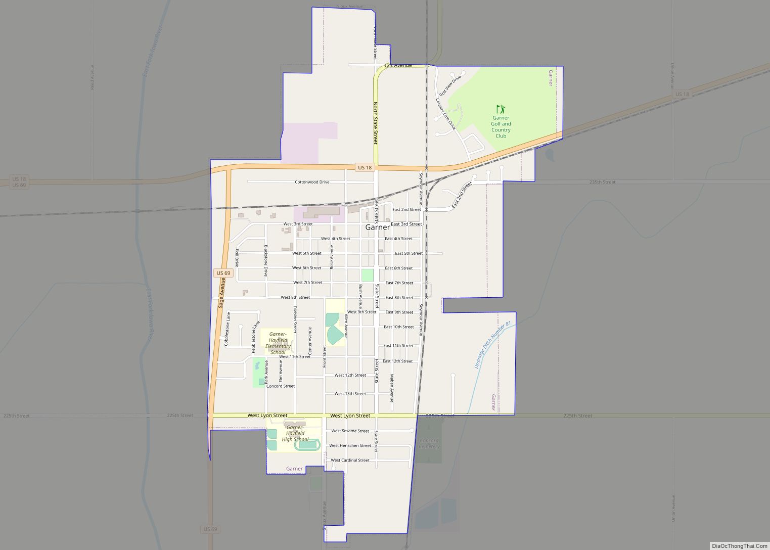
| Seat: | Garner |
| Largest city: | Garner |
| Total Area: | 573 sq mi (1,480 km²) |
| Land Area: | 571 sq mi (1,480 km²) |
| Total Population: | 10,795 |
| Population Density: | 19/sq mi (7.3/km²) |
| Time zone: | UTC−6 (Central) |
| Summer Time Zone (DST): | UTC−5 (CDT) |
| Website: | hancockcountyia.gov |
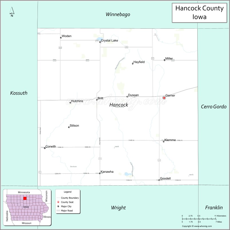
Hancock County location map. Where is Hancock County?
History
Hancock county was established as a result of an election on June 28, 1858. At the time two townships, Avery and Madison, were also established. Soon after a courthouse was built in Garner, Iowa that continues to be the county seat.
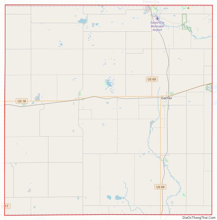
Hancock County Road Map
Geography
According to the U.S. Census Bureau, the county has an area of 573 square miles (1,480 km), of which 571 square miles (1,480 km) is land and 2.0 square miles (5.2 km) (0.4%) is water.
Major highways
- U.S. Highway 18
- U.S. Highway 69
- Iowa Highway 17
Adjacent counties
- Winnebago County (north)
- Cerro Gordo County (east)
- Wright County (south)
- Kossuth County (west)
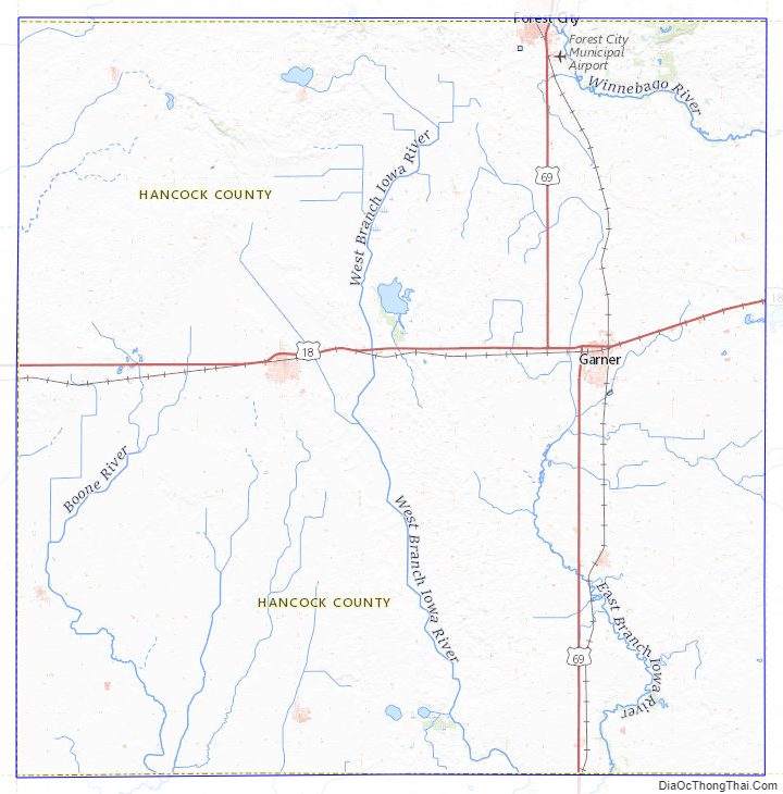
Hancock County Topographic Map
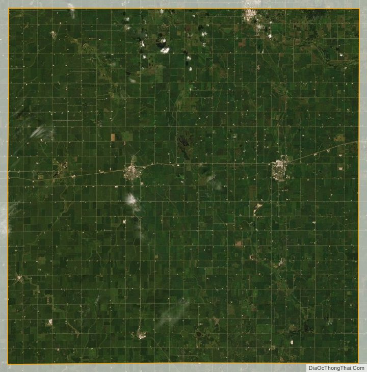
Hancock County Satellite Map
Hancock County Outline Map