Yancey County is a county located in the U.S. state of North Carolina. As of the 2020 census, the population was 18,470. Its county seat is Burnsville.
This land was inhabited by the Cherokee prior to European settlement, as was much of the Southern Appalachian region.
| Name: | Yancey County |
|---|---|
| FIPS code: | 37-199 |
| State: | North Carolina |
| Founded: | 1833 |
| Named for: | Bartlett Yancey |
| Seat: | Burnsville |
| Largest town: | Burnsville |
| Total Area: | 313 sq mi (810 km²) |
| Land Area: | 313 sq mi (810 km²) |
| Total Population: | 18,757 |
| Population Density: | 60/sq mi (20/km²) |
| Time zone: | UTC−5 (Eastern) |
| Summer Time Zone (DST): | UTC−4 (EDT) |
| Website: | www.yanceycountync.gov |
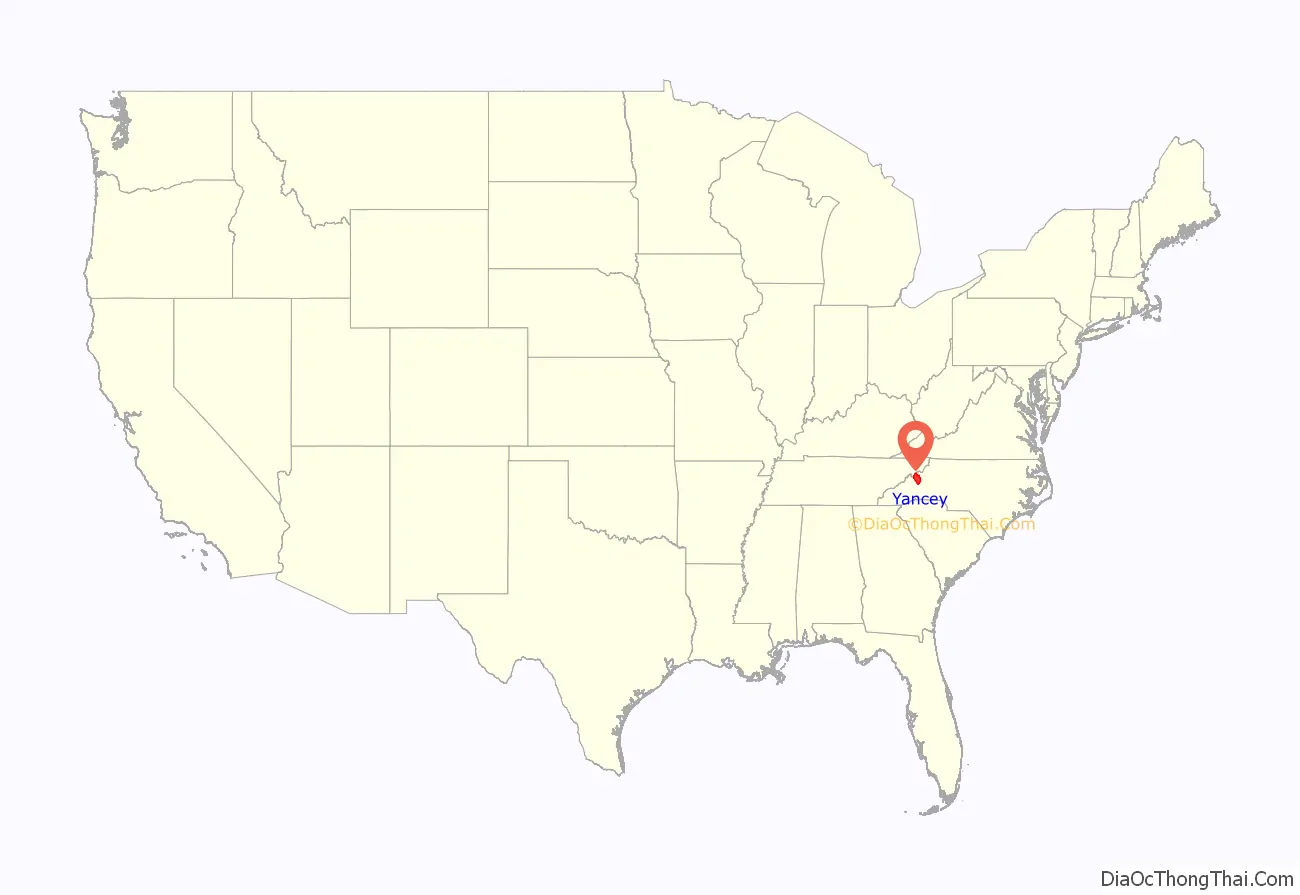
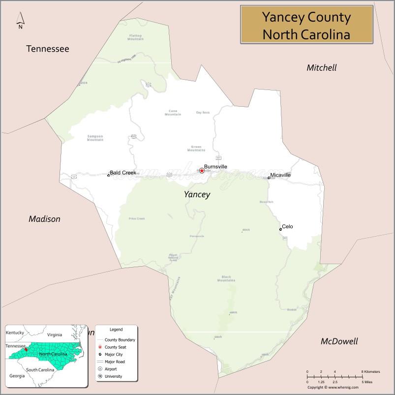
Yancey County location map. Where is Yancey County?

History
Independent and sturdy Scottish, English, and Scotch-Irish and Irish settlers of the Carolina frontier had crossed the Blue Ridge Mountains and settled the Toe River Valley by the mid-18th century. In the year 1796, one of the early land speculators, John Gray Blount, paid for 326,640 acres (1322 km) of land, a portion of which later became Yancey County, North Carolina.
In December 1833, the General Assembly established a new western county, named Yancey, from sections of Burke and Buncombe counties. Yancey County was named in honor of Bartlett Yancey, of Caswell County. As a U.S. Congressman (1813–1817) and as speaker of the N.C. Senate (1817–1827), he was instrumental in many accomplishments that benefited the state, including the creation of an education fund that was the beginning of the N.C. Public School System. He was an advocate of correcting the inequality in representation in the General Assembly by the creation of new western counties; but he died on August 30, 1828, over five years before the General Assembly created a new county named in his honor. In Yancey’s boundaries looms Mount Mitchell, the highest peak in the Eastern U.S., at 6,684 feet (2037 m) above sea level.
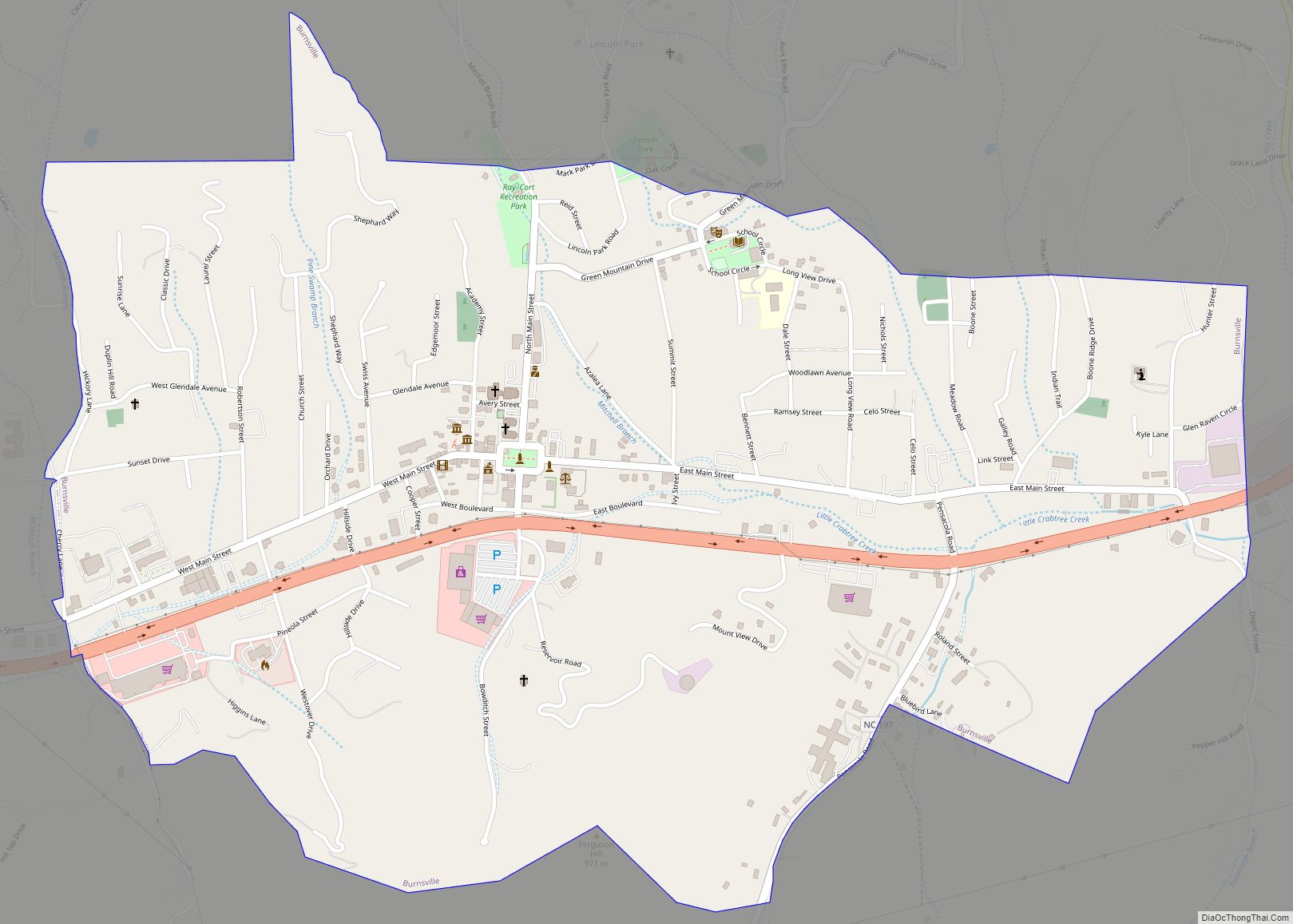
On March 6, 1834, “Yellow Jacket” John Bailey conveyed 100 acres (0.4 km) of land for the county seat. John was given the nickname for his famous temper as told in the books The Bailey Family of Yancey County, North Carolina and Heritage of the Tow River Valley by Lloyd Richard Bailey Sr. The town was named Burnsville in honor of Captain Otway Burns, who voted for the creation of the new western county when he was serving in the General Assembly. He was also a naval hero in the War of 1812. A statue of Captain Burns stands on a 40-ton, Mount Airy granite pedestal in the center of the town’s public square, which was given the official name of “Bailey Square” by the Yancey County Board of Commissioners on September 1, 1930. The statue of Captain Burns was given to the county on July 5, 1909, by Walter Francis Burns, a grandson of the naval captain. The inscription reads:
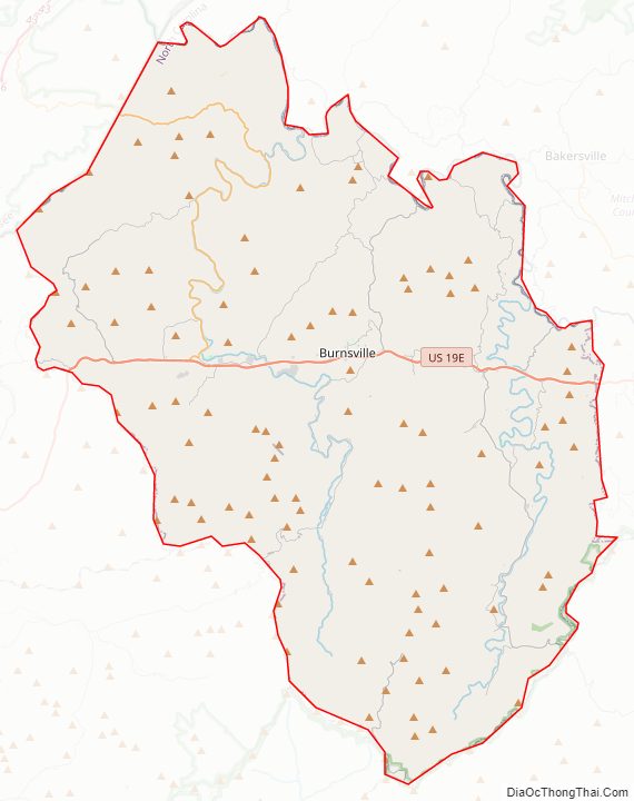
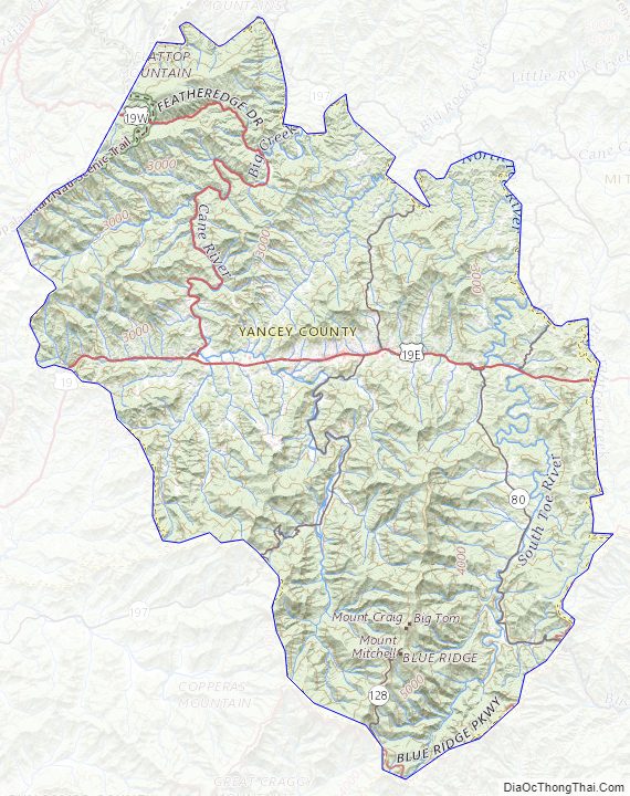
Yancey County Road Map
Geography
According to the U.S. Census Bureau, the county has a total area of 313 square miles (810 km), of which 313 square miles (810 km) is land and 0.6 square miles (1.6 km) (0.2%) is water. Mount Mitchell at 6,684 feet (2,037 m), within Mount Mitchell State Park in Yancey County, is the highest point in the United States east of the Mississippi River. The Black Mountains, of which Mt. Mitchell is a part, contains five of the 10 highest peaks east of the Mississippi, all over 6,400 ft (1,951 m). In descending order of height, they are: Mount Mitchell, Mount Craig, Balsam Cone, Mount Gibbs and Potato Hill.
National protected areas
- Blue Ridge Parkway (part)
- Pisgah National Forest (part)
State and local protected areas
- Bare Dark Sky Observatory (part)
- Carolina Hemlocks Recreation Area
- Mt. Mitchell State Park
- Ray-Cort Recreation Park
Major water bodies
- Big Crabtree Creek
- Big Creek
- Bowlers Creek
- Cane River
- Nolichucky River
- South Toe River
Adjacent counties
- Mitchell County – northeast
- McDowell County – southeast
- Buncombe County – southwest
- Madison County – west
- Unicoi County, Tennessee – northwest
Major highways
- US 19
- US 19E
- US 19W
- NC 80
- NC 128
- NC 197
Yancey County Topographic Map
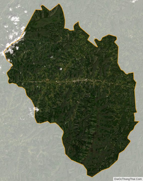
Yancey County Satellite Map
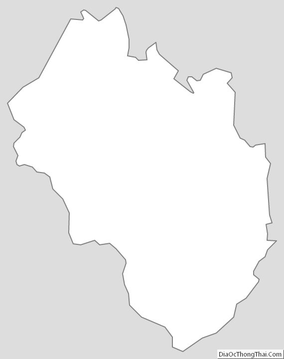
Yancey County Outline Map