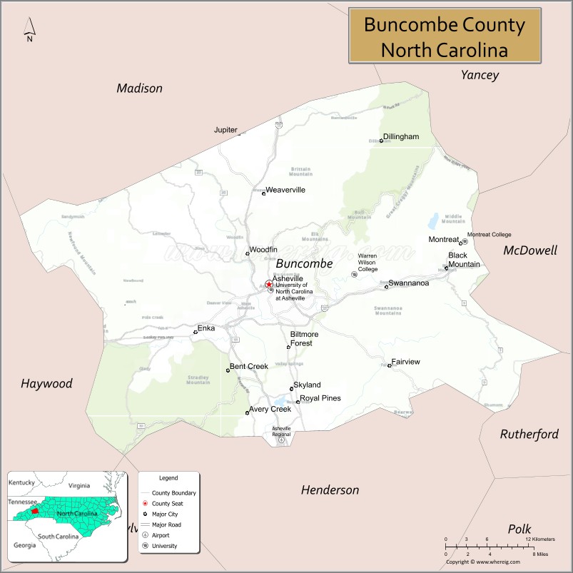
Buncombe County is a county located in the U.S. state of North Carolina. It is classified within Western North Carolina. The 2020 census reported the population was 269,452. Its county seat is Asheville. Buncombe County is part of the Asheville, NC Metropolitan Statistical Area.
| Name: | Buncombe County |
|---|---|
| FIPS code: | 37-021 |
| State: | North Carolina |
| Founded: | 1792 |
| Named for: | Edward Buncombe |
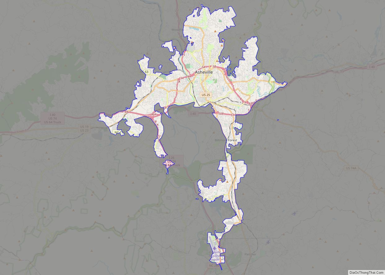
| Seat: | Asheville |
| Largest city: | Asheville |
| Total Area: | 660 sq mi (1,700 km²) |
| Land Area: | 657 sq mi (1,700 km²) |
| Total Population: | 269,452 |
| Population Density: | 410/sq mi (160/km²) |
| Time zone: | UTC−5 (Eastern) |
| Summer Time Zone (DST): | UTC−4 (EDT) |
| Website: | www.buncombecounty.org |
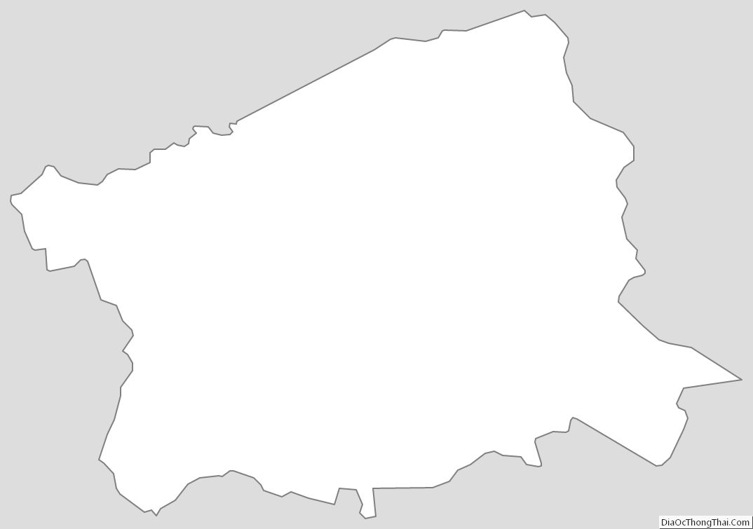
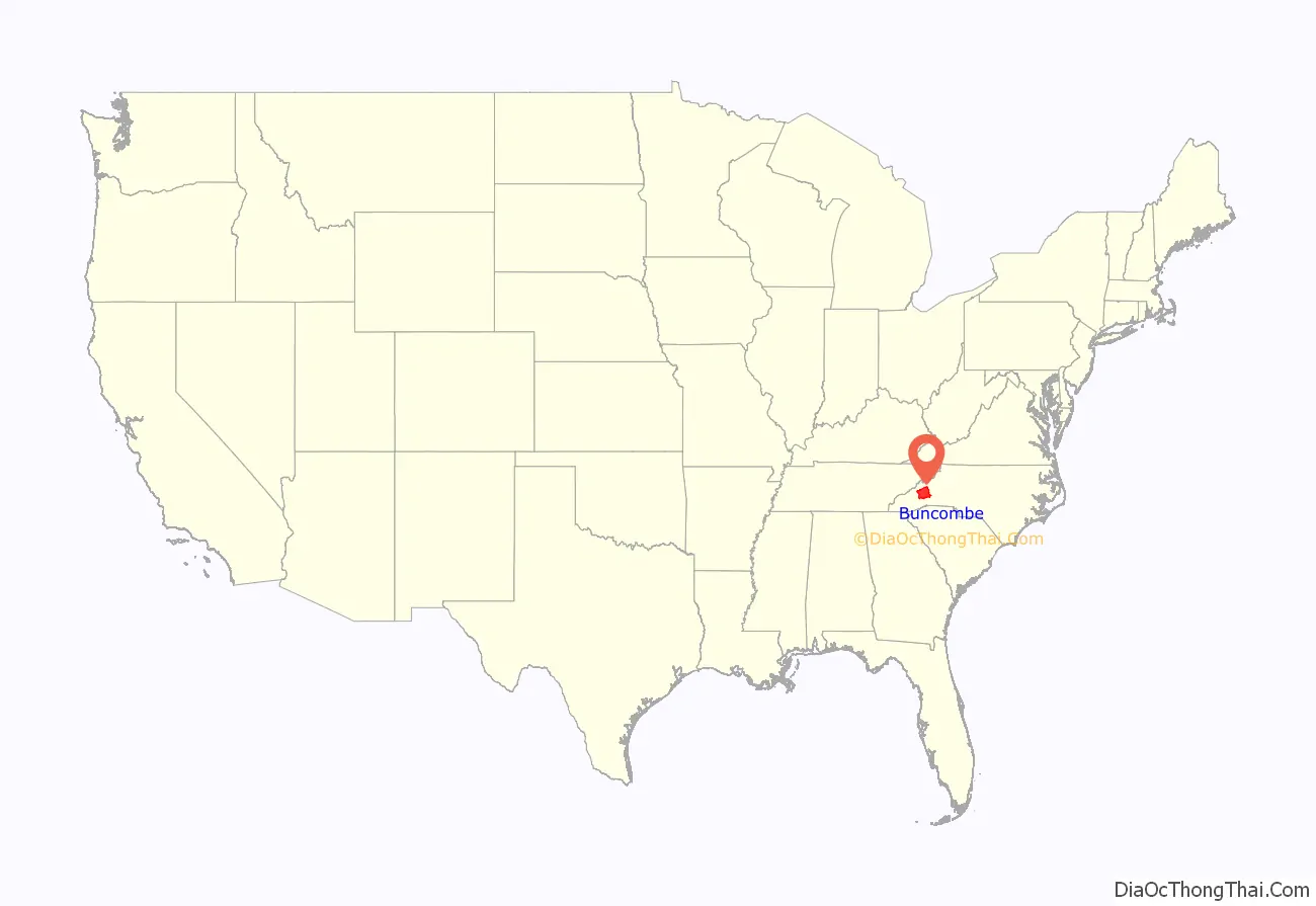
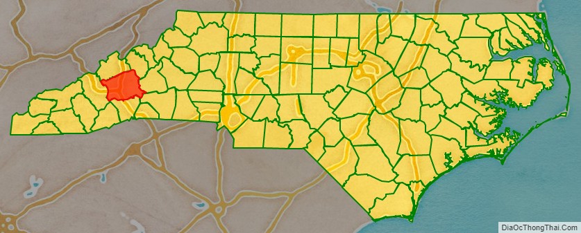
Buncombe County location map. Where is Buncombe County?
History
In December, 1792 and April 1793, John Dillard was a Commissioner in a local political dispute of determining where the county seat of Buncombe County should be located. It was provided in an act creating Buncombe County that a committee of five persons be appointed for the selection of the site. A dispute arose between two factions of Buncombe County residents on opposite sides of the Swannanoa River, one faction pressing for the county seat to be north of Swannanoa, which is now the center of Asheville, and the other faction demanding it to be at a place south of Swannanoa River which later became known as the “Steam Saw Mill Place” and which is now the southern part of the City of Asheville.
Buncombe County was organized by European Americans after the Revolutionary War in the home of Col. William Davidson, a cousin of William Lee Davidson and elected as the county’s first state senator. The first meeting of the county government took place in April 1792 in Col. Davidson’s barn (located on the present-day Biltmore Estate).
At first, deeds were recorded in Morganton, the nearest county seat. This was inconvenient for residents as roads were poor. In December 1792 seven men met to select a courthouse location for the county. The first courthouse was built at the present-day Pack Square site in Asheville.
The county was formed in 1791 from parts of Burke and Rutherford counties. It was named for Edward Buncombe, a colonel in the American Revolutionary War, who was captured at the Battle of Germantown. The large county originally extended to the Tennessee line.
Many of the early settlers were Baptists. In 1807 the pastors of six churches, including the revivalist Sion Blythe, formed the French Broad Association of Baptist churches in the area.
As population increased in this part of the state, parts of the county were taken to organize new counties. In 1808 the western part of Buncombe County became Haywood County. In 1833 parts of Burke and Buncombe counties were combined to form Yancey County. In 1838 the southern part of what was left of Buncombe County became Henderson County. In 1851 parts of Buncombe and Yancey counties were combined to form Madison County. Finally, in 1925 the Broad River township of McDowell County was transferred to Buncombe County.
In 1820, a U.S. Congressman whose district included Buncombe County, unintentionally contributed a word to the English language. In the Sixteenth Congress, after lengthy debate on the Missouri Compromise, members of the House called for an immediate vote on that important question. Felix Walker rose to address his colleagues, insisting that his constituents expected him to make a speech “for Buncombe.” It was later remarked that Walker’s untimely and irrelevant oration was not just for Buncombe—it “was Buncombe.” Buncombe, afterwards spelled bunkum and later shortened to bunk, became a term for empty, nonsensical talk. This, in turn, is the etymology of the verb debunk.
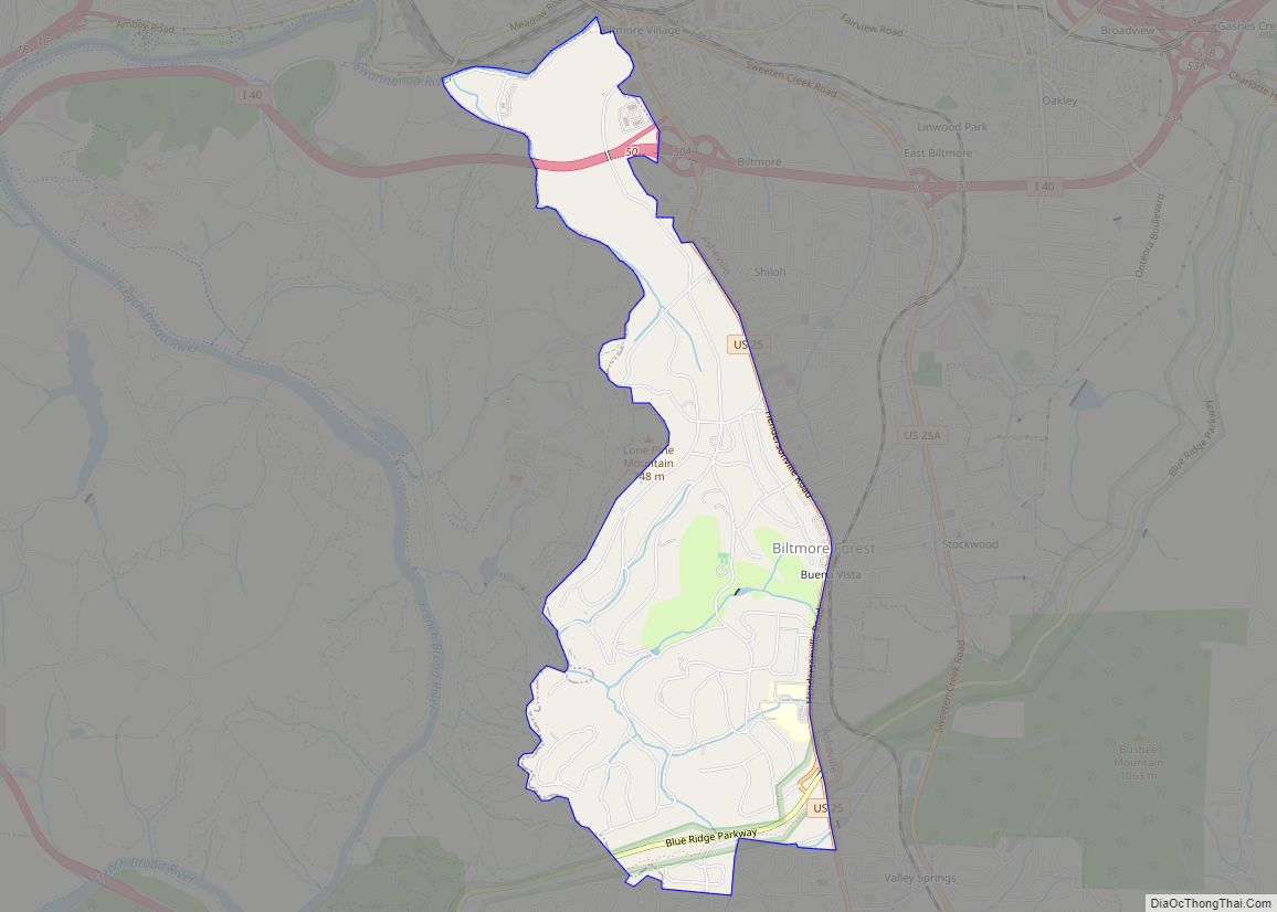
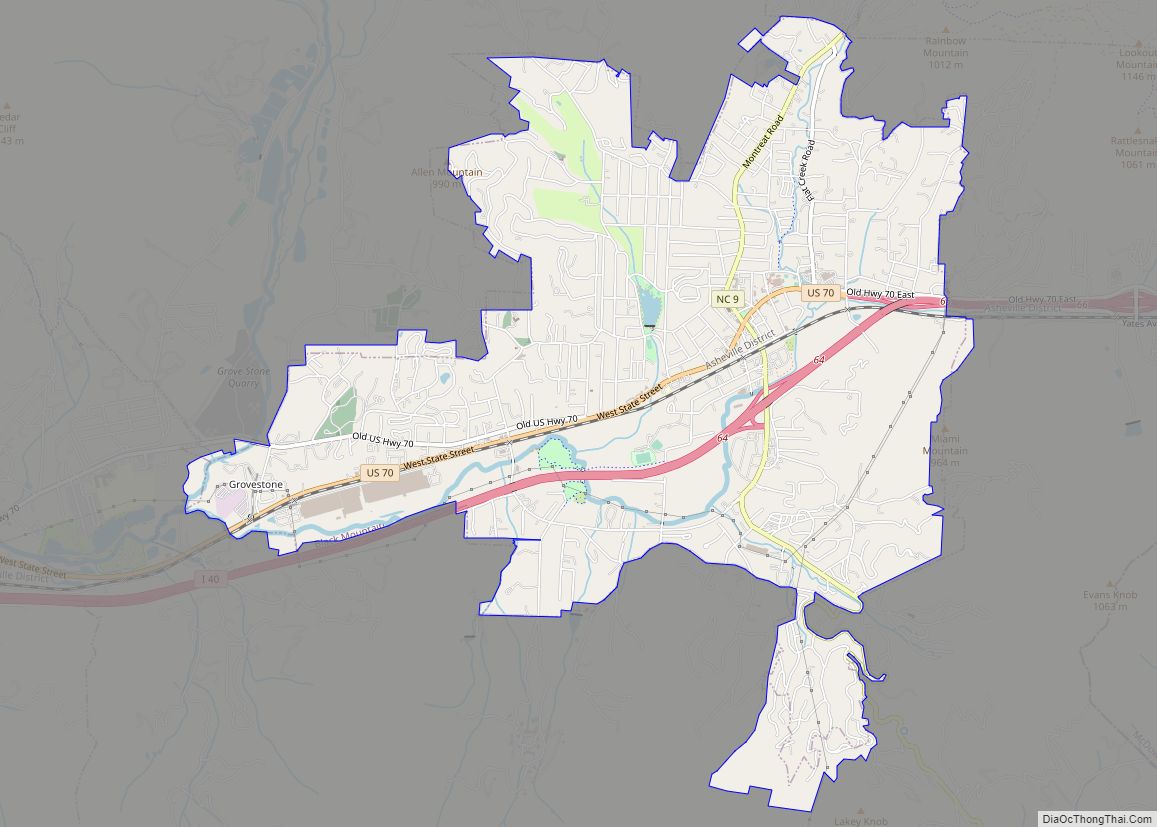
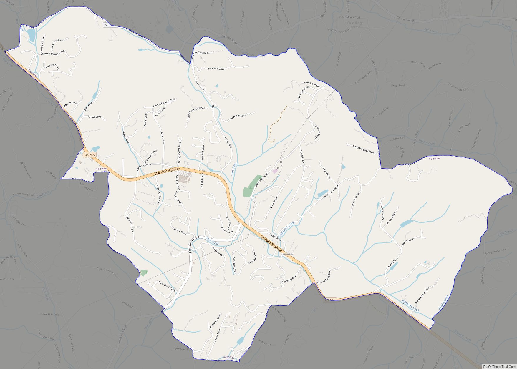
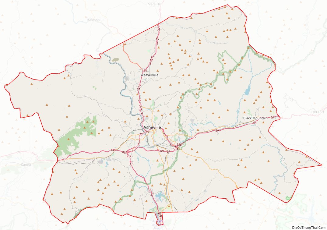
Buncombe County Road Map
Geography
According to the U.S. Census Bureau, Buncombe county has a total area of 660 square miles (1,700 km), of which 657 square miles (1,700 km) is land and 3.5 square miles (9.1 km) (0.5%) is water.
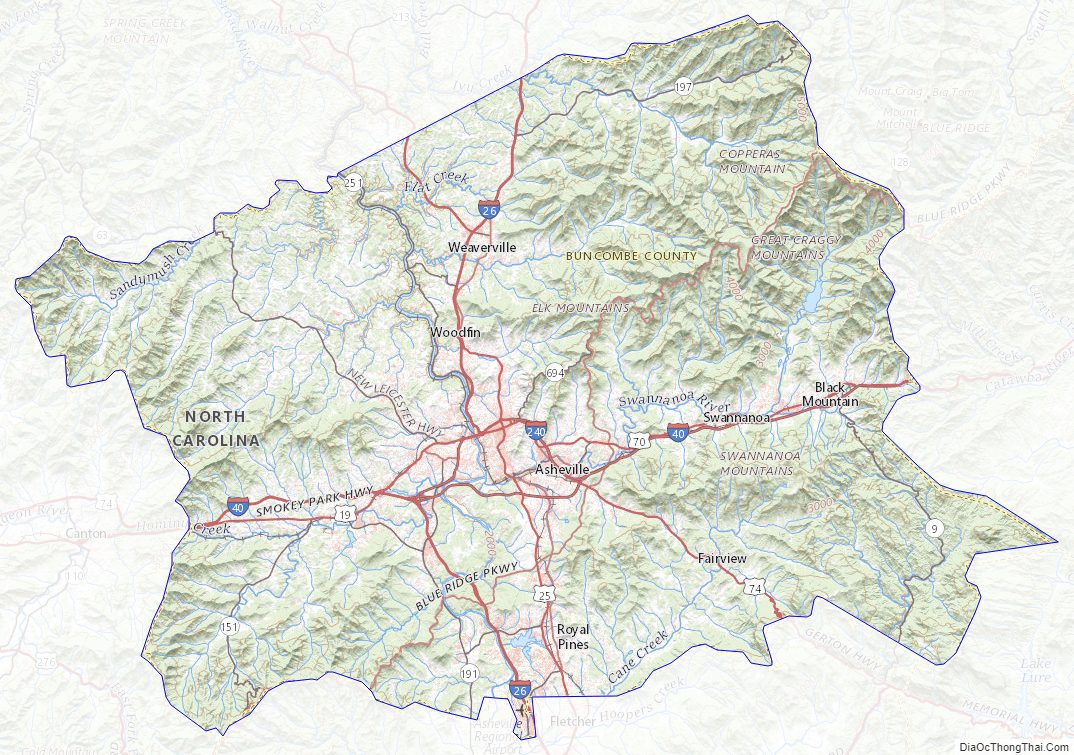
The French Broad River enters the county at its border with Henderson County to the south and flows north into Madison County. The source of the Swannanoa River, which joins the French Broad River in Asheville, is in northeast Buncombe County near Mount Mitchell, a part of the Black Mountains range. Mt. Mitchell is the highest point in the eastern United States at 6,684 ft. Its summit lies in adjacent Yancey County; the highest point in Buncombe County is Potato Knob, at 6400+ feet, which lies a short distance south of Mount Mitchell.
A milestone was achieved in 2003 when Interstate 26, still called Future I-26 in northern Buncombe County, was extended from Mars Hill (north of Asheville) to Johnson City, Tennessee. This completed a 20-year, half-billion dollar construction project through the Blue Ridge Mountains.
National protected areas
- Blue Ridge Parkway (part)
- Pisgah National Forest (part)
- Nantahala National Forest (part)
State and local protected areas/sites
- Beaver Lake Bird Sanctuary
- Big Ivy Historical Park
- Biltmore Estate
- Chimney Rock State Park (part)
- Collier Cove Nature Preserve
- Pisgah View State Park (part)
- Sandy Mush Game Land (part)
- The North Carolina Arboretum
- Thomas Wolfe House
- Vance Birthplace
- Young Forest (part)
Major water bodies
- Beaver Lake
- Beaverdam Creek
- Broad River
- Burnett Reservoir
- Cane Creek
- Flat Creek
- French Broad River
- Lake Julian
- Lake Kenilworth
- Lake Craig
- Lake Powhatan
- Lake Louise
- Little Pole Creek
- Long Valley Lake
- Newfound Creek
- Pole Creek
- Reems Creek
- Swannanoa River
- Tom Creek
- Turkey Creek
Adjacent counties
- Madison County – north
- Yancey County – northeast
- McDowell County – east
- Rutherford County – southeast
- Henderson County – south
- Transylvania County – southwest
- Haywood County – west
Major highways
- I-26 / Future I-26 (Small section undesignated)
- I-40
- I-240
- US 19
- US 23
- US 23 Bus.
- US 23 Bus.
- US 25
- US 25A
- US 64 Truck
- US 70
- US 74
- US 74A
- NC 9
- NC 63
- NC 81
- NC 112
- NC 146
- NC 151
- NC 191
- NC 197
- NC 251
- NC 280
- NC 694
Major infrastructure
- Asheville Regional Airport
Buncombe County Topographic Map
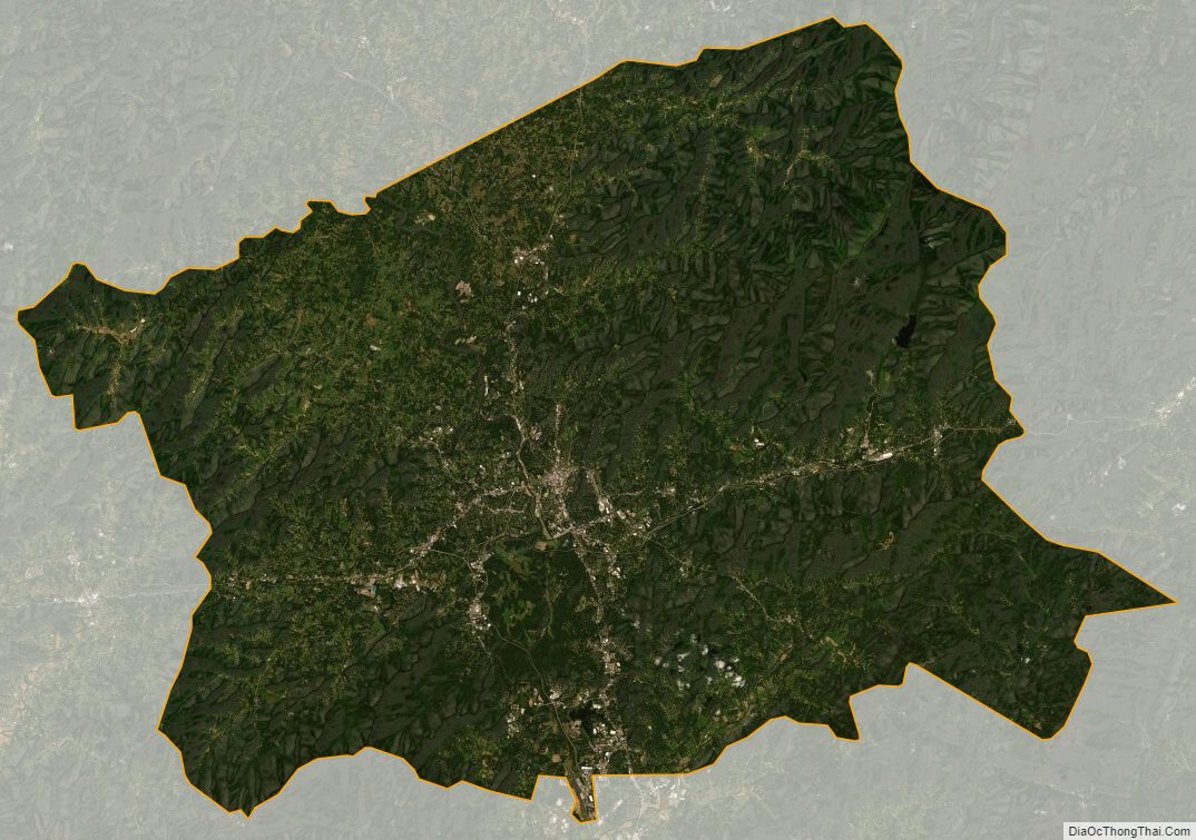
Buncombe County Satellite Map
Buncombe County Outline Map