Mitchell County is a county located in the U.S. state of North Carolina. As of the 2020 census, the population was 14,903. Its county seat is Bakersville.
The county is home to the “Mineral City of the World”, Spruce Pine and Roan Mountain which includes the world’s largest natural rhododendron garden, and the longest stretch of grassy bald in the Appalachian range. Throughout the year such festivals as North Carolina Mineral and Gem Festival and North Carolina Rhododendron Festival bring many visitors to the area.
| Name: | Mitchell County |
|---|---|
| FIPS code: | 37-121 |
| State: | North Carolina |
| Founded: | 1861 |
| Named for: | Elisha Mitchell |
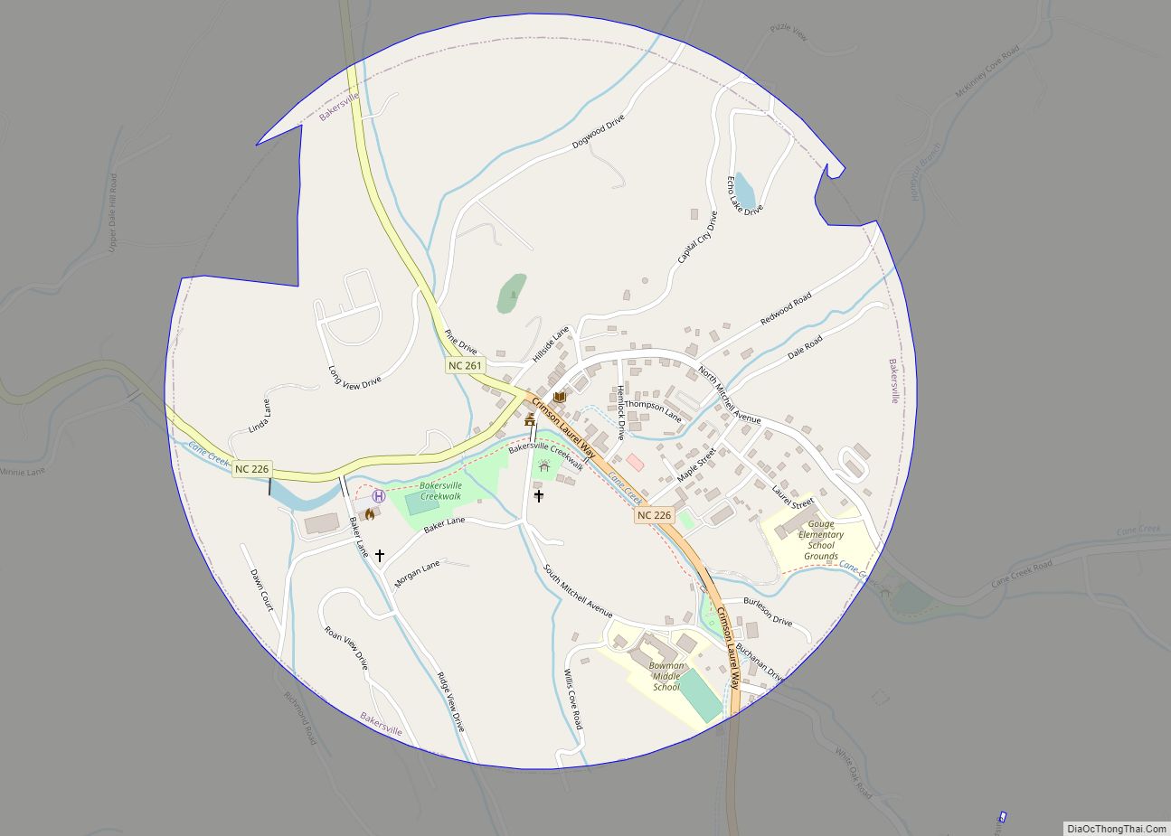
| Seat: | Bakersville |
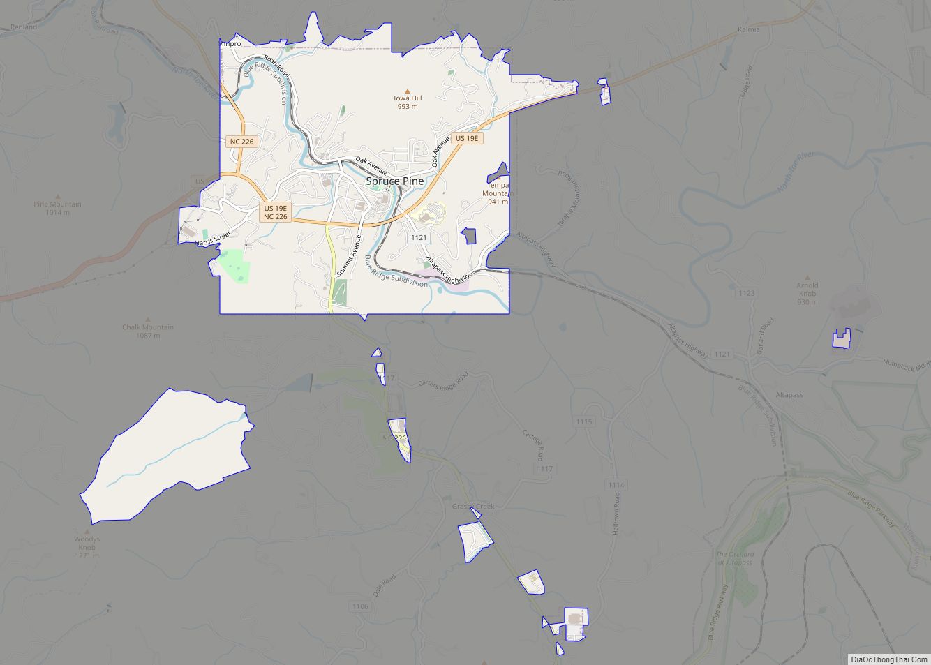
| Largest town: | Spruce Pine |
| Total Area: | 222 sq mi (570 km²) |
| Land Area: | 221 sq mi (570 km²) |
| Total Population: | 14,963 |
| Population Density: | 67.7/sq mi (26.1/km²) |
| Time zone: | UTC−5 (Eastern) |
| Summer Time Zone (DST): | UTC−4 (EDT) |
| Website: | www.mitchellcounty.org |
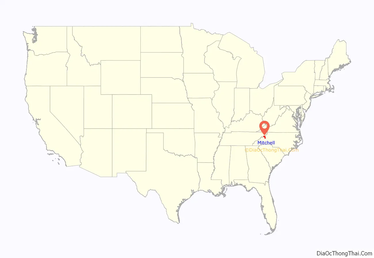
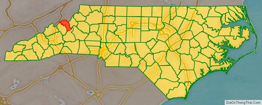
Mitchell County location map. Where is Mitchell County?
History
The county was formed in 1861 from parts of Burke County, Caldwell County, McDowell County, Watauga County, and Yancey County. It was named for Elisha Mitchell, professor of mathematics, chemistry, geology, and mineralogy at the University of North Carolina from 1818 until his death in 1857. Dr. Mitchell was the first scientist to argue that a nearby peak in the Black Mountains was the highest point east of the Mississippi River. He measured the mountain’s height and climbed and explored it. In 1857 he fell to his death on a waterfall on the side of the mountain. The mountain was subsequently named Mount Mitchell in his honor.
By 1899, Mitchell County had a sundown town policy of preventing Black Americans from living or working in the county. By the early 1920s, Black Americans began working and living in the county in larger numbers, especially as mine workers and as convict laborers constructing local infrastructure, including new state highways such as what is now US Highway 19E. In September 1923, a 75-year-old White woman named Alice Thomas accused John Goss, an escaped Black convict laborer, of raping her. A White mob formed in Spruce Pine, and when they could not locate the fugitive Goss, the mob (which included members of the Ku Klux Klan) forced nearly all of the Black people onto train cars heading out of the county. Governor Cameron Morrison, an ally of the infrastructure construction and mining industries, declared martial law and called in the National Guard in an attempt to stop the mob violence, but by the time the Guard units arrived two days later, the Black mine and construction laborers had already been driven from the county. The National Guard occupied Spruce Pine for nearly two weeks. Despite Morrison’s declaration of martial law having little effect, it was the first time martial law was declared in response to an instance of mass racial violence in the United States. Ultimately, 86 members of the White supremacist mob were indicted for their actions, many of whom pled guilty to minor offences. Goss was arrested in Hickory four days after the alleged rape, and at the orders of the Governor, jailed in Raleigh to avert lynching. He was tried three weeks later in Mitchell County, convicted by jury after five minutes of deliberation, and executed by electrocution.
The county took a direct hit from “The Storm of the Century”, also known as the “’93 Superstorm”, or “The (Great) Blizzard of 1993”. This storm event was similar in nature to a hurricane. The storm occurred between March 12–13, 1993, on the East Coast of North America. Parts of Cuba, Gulf Coast States, Eastern United States and Eastern Canada were greatly impacted. The county suffered another tragic event on May 3, 2002, when a fire broke out at the Mitchell County jail in Bakersville, North Carolina. Eight men lost their lives in the fire.
Mitchell County was one of the three entirely dry counties in North Carolina, along with Graham and Yancey, but in March, 2009, after much controversy, the Town of Spruce Pine approved beer, wine and limited retail sale.
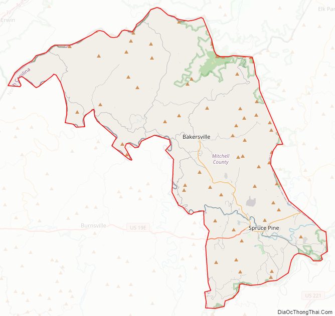
Mitchell County Road Map
Geography
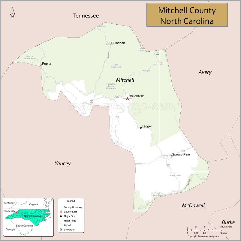
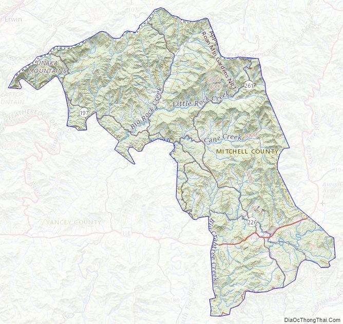
According to the U.S. Census Bureau, the county has a total area of 222 square miles (570 km), of which 221 square miles (570 km) is land and 0.7 square miles (1.8 km) (0.3%) is water. It is the fourth-smallest county in North Carolina by land area and second-smallest by total area. The northwest sections of county border the State of Tennessee. Sections of both the Blue Ridge Parkway and Appalachian Trail are located in the county. Parts of the Pisgah National Forest and Roan Mountain State Park are located in the northern sections of the county. All over Mitchell and neighboring Avery County you will find several conservation lands within the Pisgah Forest. Little Yellow Mountain is a natural land conservation area and one day it will be turned over to the state.
National protected areas
- Blue Ridge Parkway (part)
- Cherokee National Forest (part)
- Pisgah National Forest (part)
State and local protected areas
- Bare Dark Sky Observatory (part)
- Yellow Mountain State Natural Area (part)
Major water body
- North Toe River
Adjacent counties
- Carter County, Tennessee – north-northeast
- Avery County – northeast
- McDowell County – south
- Yancey County – southwest
- Unicoi County, Tennessee – north-northwest
Major highways
- US 19E
- NC 80
- NC 197
- NC 226
- NC 226A
- NC 261
Mitchell County Topographic Map
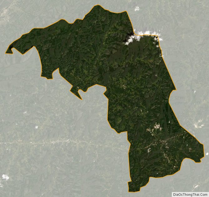
Mitchell County Satellite Map
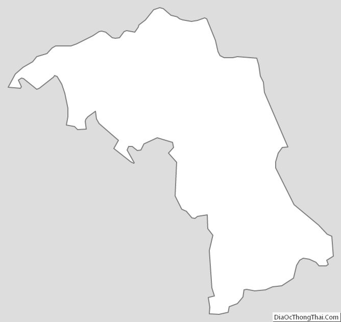
Mitchell County Outline Map