Gaines County is a county in the U.S. state of Texas. As of the 2020 census, its population was 21,598. The county seat is Seminole.
| Name: | Gaines County |
|---|---|
| FIPS code: | 48-165 |
| State: | Texas |
| Founded: | 1905 |
| Seat: | Seminole |
| Largest city: | Seminole |
| Total Area: | 1,503 sq mi (3,890 km²) |
| Land Area: | 1,502 sq mi (3,890 km²) |
| Total Population: | 21,598 |
| Population Density: | 14/sq mi (5.5/km²) |
| Time zone: | UTC−6 (Central) |
| Summer Time Zone (DST): | UTC−5 (CDT) |
| Website: | www.co.gaines.tx.us |
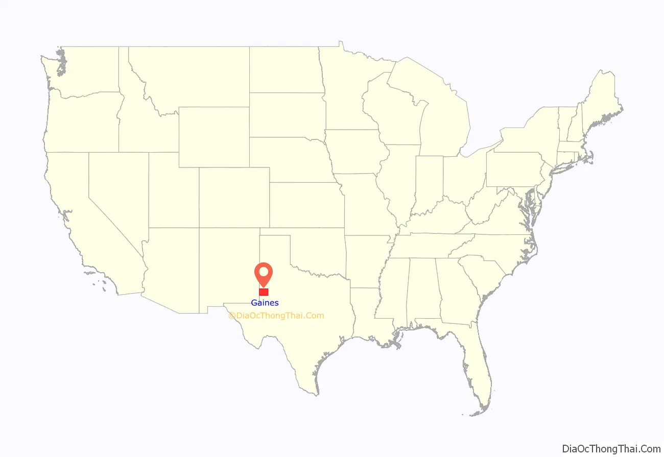
Gaines County location map. Where is Gaines County?
History
The county is named for James Gaines, a merchant who signed the Texas Declaration of Independence and was born in Culpeper County, Virginia in 1779. During the 19th century, the land had been occupied solely by Comanche and Mexican Comancheros, traders who had a thriving business with the Plains Indians. In October 1875, Lt. Bullis, who commanded the 24th Infantry Regiment, encountered a large group of Indians at Cedar Lake. Lt. Bullis captured them for food, supplies, utensils, and buffalo hides. It was then that Col. Shafter established a camp at Cedar Lake and continued to scout the area as far south as the Pecos River. That November he came across a draw where he found a water development. He discovered over 70 wells that reached levels 4 to 15 feet deep. This area became a regular place to trade goods.
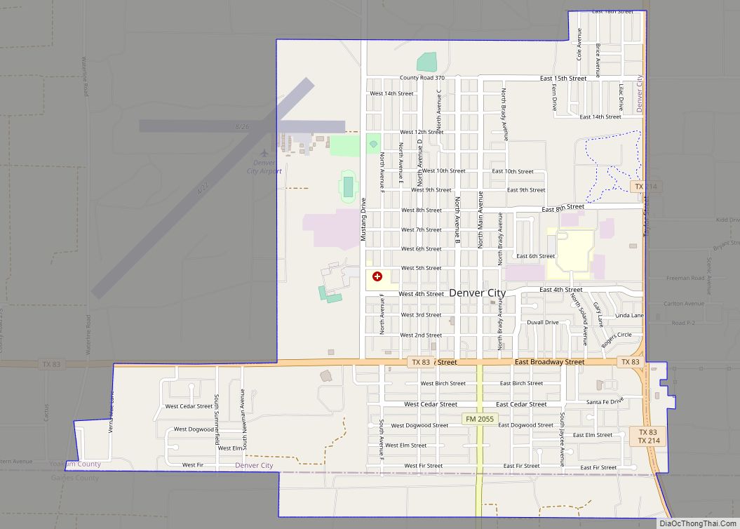
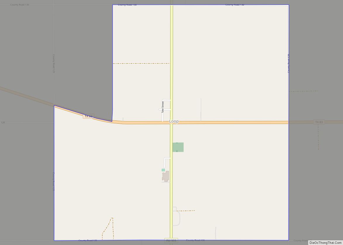
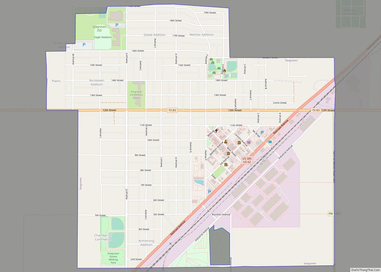
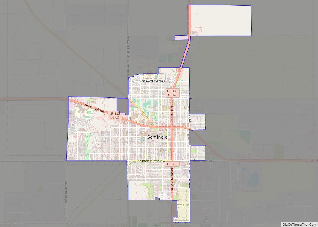
In 1887 the northern part of the county was occupied by the Mallet Ranch. The foreman, Dave Ernest, sold the ranch to a merchant from San Antonio who used the land for driving cattle towards Kansas. On October 24, 1905, Gaines County became an organized county in Texas. Land was donated by non-resident landowners which would become the town of Seminole, Texas, the county seat. In 1912 a small post office opened up east of Seminole that was named after a local ranch brand that would later become Loop, Texas. In 1917 the Santa Fe Railroad came through Blythe, Texas, but its name was changed to Seagraves, Texas after the company discovered they had a town by the same name already located on the line.
A great addition to Gaines County came in 1977 when a group of Mennonites arrived to start farming and ranching. In 2005 Gaines County became the number one oil producing, cotton producing, and peanut producing county in Texas.
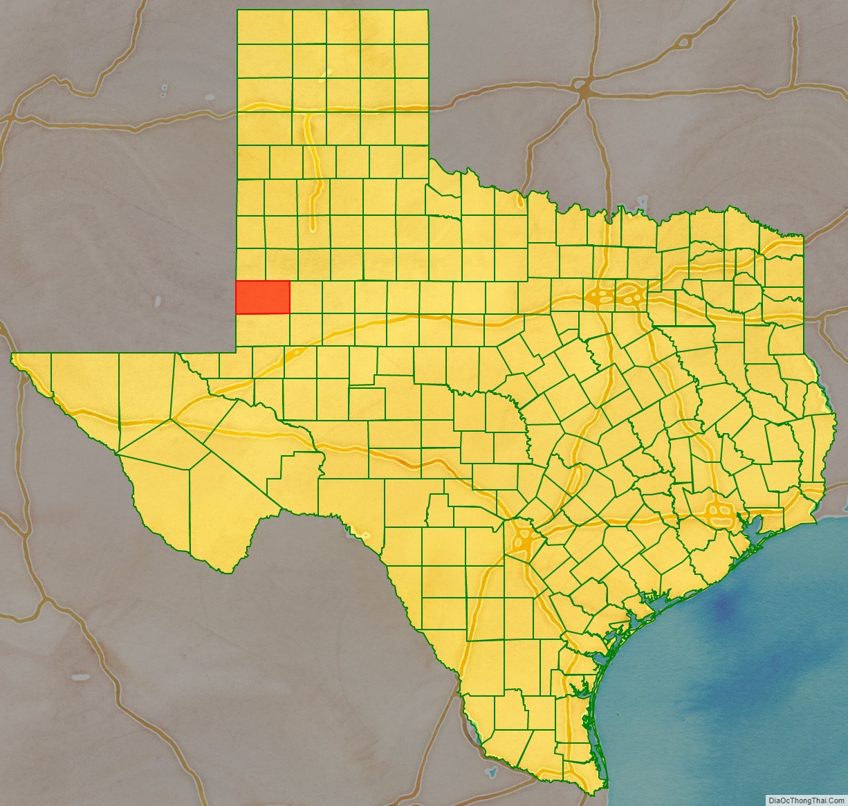
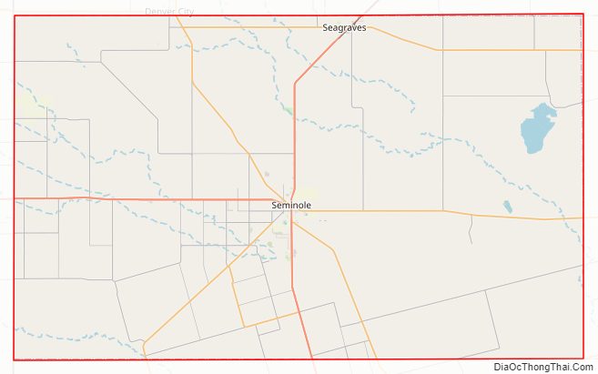
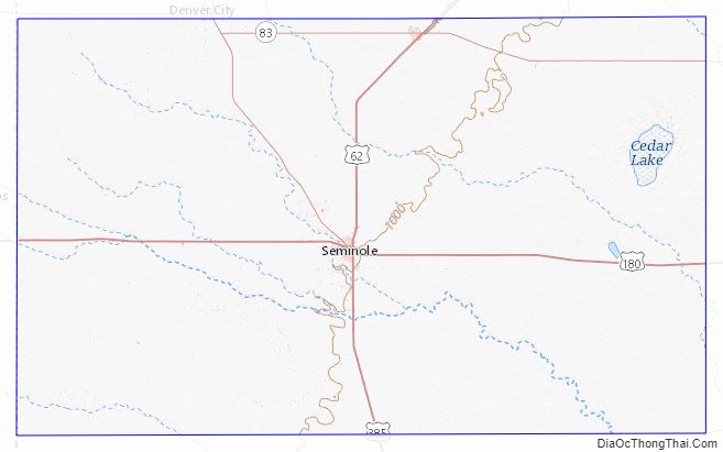
Gaines County Road Map
Geography
According to the U.S. Census Bureau, the county has a total area of 1,503 square miles (3,890 km), of which 1,502 square miles (3,890 km) is land and 0.5 square miles (1.3 km) (0.03%) is water.
Major highways
- U.S. Highway 62
- U.S. Highway 180
- U.S. Highway 385
- State Highway 83
- State Highway 115
- State Highway 214
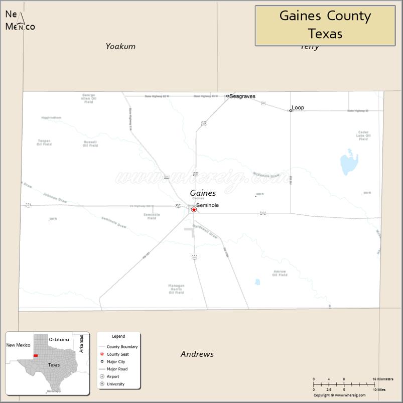
Adjacent counties
- Yoakum County (north)
- Terry County (north)
- Dawson County (east)
- Martin County (southeast)
- Andrews County (south)
- Lea County, New Mexico (west)
Gaines County Topographic Map
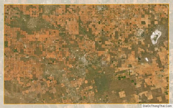
Gaines County Satellite Map
Gaines County Outline Map