Bexar County (/bɛər/ BAIR or /ˈbeɪər/ (listen) BAY-ər; Spanish: Béxar [ˈbexaɾ]) is a county in the U.S. state of Texas. It is in South Texas and its county seat is San Antonio.
As of the 2020 census, the population was 2,009,324. Bexar County is included in the San Antonio–New Braunfels, TX metropolitan statistical area. It is the 16th-most populous county in the nation and the fourth-most populated in Texas. Bexar County has a large Hispanic population with a significant growing African American population. With a population that is 59.3% Hispanic as of 2020, it is Texas’ most populous majority-Hispanic county and the third-largest such nationwide.
| Name: | Bexar County |
|---|---|
| FIPS code: | 48-029 |
| State: | Texas |
| Founded: | December 20, 1836 |
| Named for: | Presidio San Antonio de Béxar |
| Seat: | San Antonio |
| Largest city: | San Antonio |
| Total Area: | 1,256 sq mi (3,250 km²) |
| Land Area: | 1,240 sq mi (3,200 km²) |
| Total Population: | 2,009,324 |
| Time zone: | UTC−6 (Central) |
| Summer Time Zone (DST): | UTC−5 (CDT) |
| Website: | www.bexar.org |
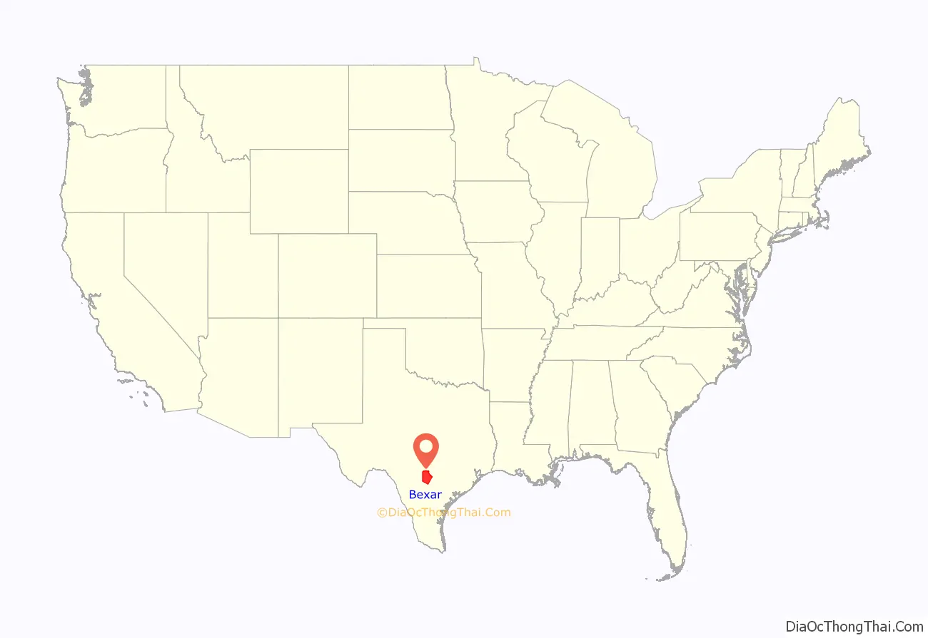
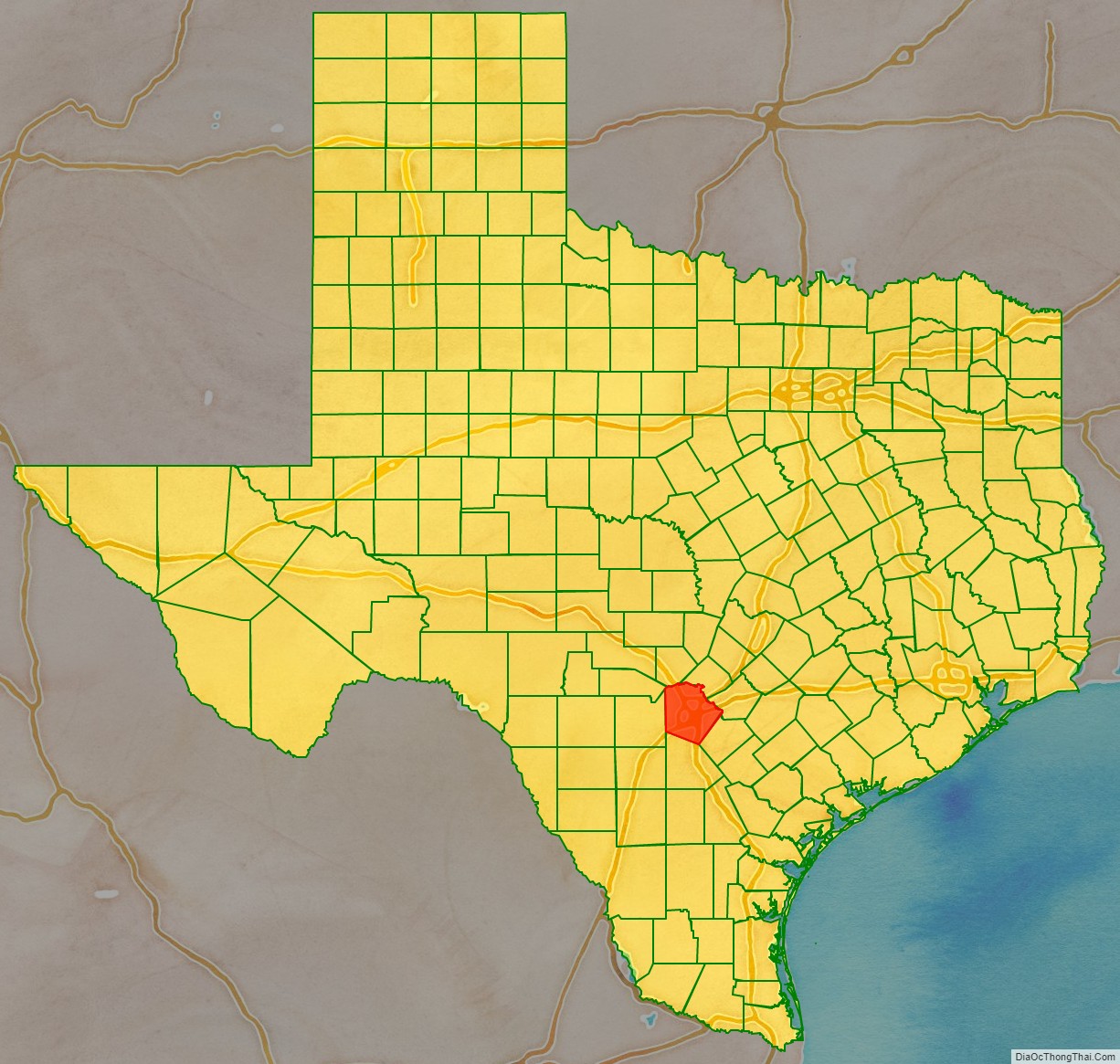
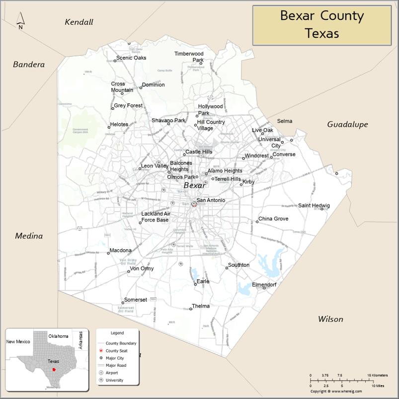
Bexar County location map. Where is Bexar County?
History
Bexar County was created on December 20, 1836, and encompassed almost the entire western portion of the Republic of Texas. This included the disputed areas of eastern New Mexico northward to Wyoming. After statehood, 128 counties were carved out of its area.
The county was named for San Antonio de Béxar, one of the 23 Mexican municipalities (administrative divisions) of Texas at the time of its independence. San Antonio de Béxar—originally Villa de San Fernando de Béxar—was the first civil government established by the Spanish in the province of Texas. Specifically, the municipality was created in 1731 when 55 Canary Islanders settled near the system of missions that had been established around the source of the San Antonio River. The new settlement was named after the Presidio San Antonio de Béjar, the Spanish military outpost that protected the missions. The presidio, located at the San Pedro Springs, was founded in 1718 and named for Viceroy Balthasar Manuel de Zúñiga y Guzmán Sotomayor y Sarmiento, second son of the Duke of Béjar (a town in Spain). The modern city of San Antonio in the U.S. state of Texas also derived its name from San Antonio de Béjar.
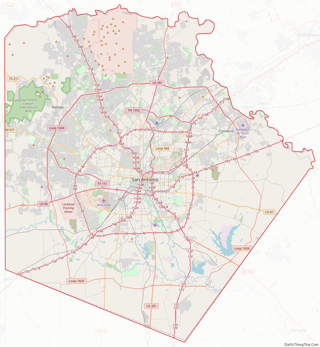
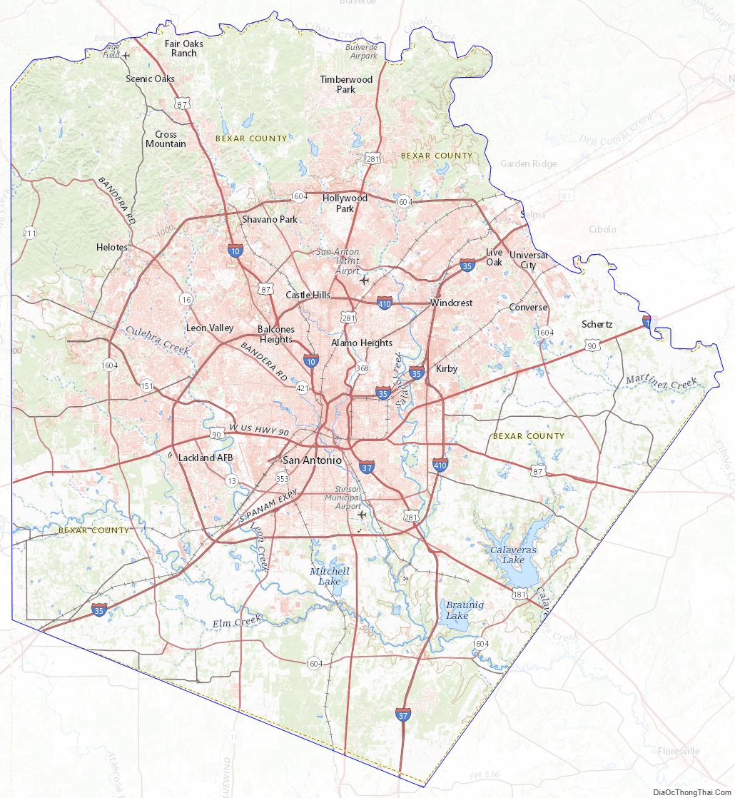
Bexar County Road Map
Geography
According to the U.S. Census Bureau, the county has a total area of 1,256 square miles (3,250 km), of which 16 sq mi (41 km) (1.3%) are covered by water. Bexar County is in south-central Texas, about 190 miles (305 km) west of Houston and 140 mi (230 km) from both the US-Mexican border to the southwest and the Gulf of Mexico to the southeast.
The Balcones Escarpment bisects the county from west to northeast; to the north of the escarpment are the rocky hills, springs and canyons of the Texas Hill Country. South of the escarpment are Blackland Prairie and the South Texas plains. The San Antonio River rises from springs north of Downtown San Antonio, and flows southward and southeastward through the county.
Major highways
Bexar County has a comprehensive “wagon wheel” freeway system, with radial freeways and beltways that encircle Downtown San Antonio, allowing for simplified countywide freeway access, in a manner much like the freeways around Houston or Dallas. San Antonio is unique, however, in that unlike Houston or Dallas, none of these highways is currently tolled.
- Interstate 10
- Interstate 35
- Interstate 37
- Interstate 410
- U.S. Route 87
- U.S. Route 90
- U.S. Route 181
- U.S. Route 281
- State Highway 16
- State Highway Loop 1604
Adjacent counties
- Kendall County (north)
- Comal County (northeast)
- Guadalupe County (east)
- Wilson County (southeast)
- Atascosa County (south)
- Medina County (west)
- Bandera County (northwest)
National protected area
- San Antonio Missions National Historical Park
State parkland
- Government Canyon State Natural Area
Bexar County Topographic Map
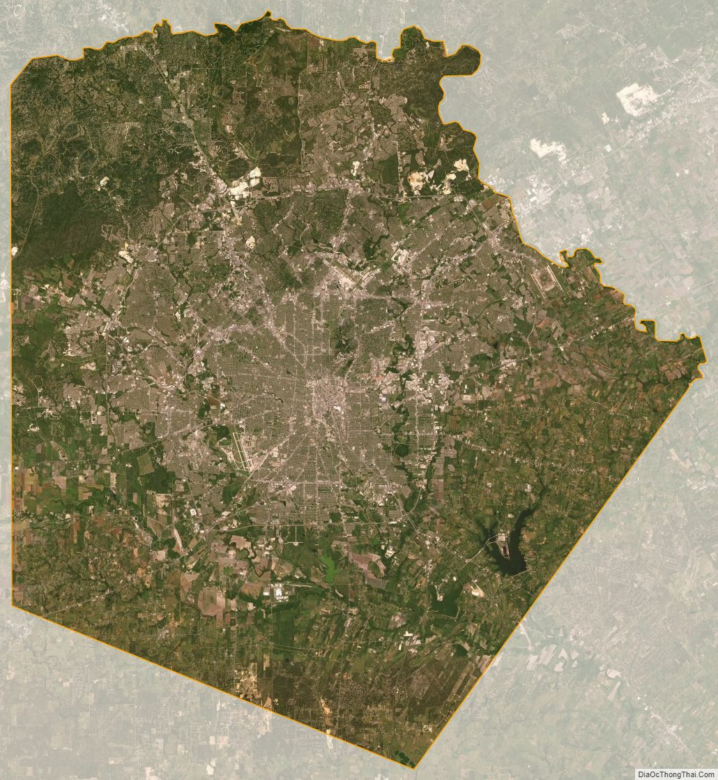
Bexar County Satellite Map
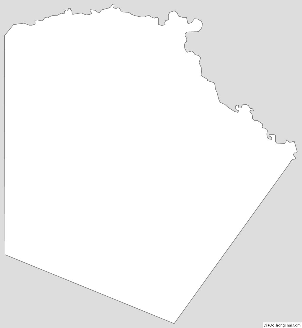
Bexar County Outline Map