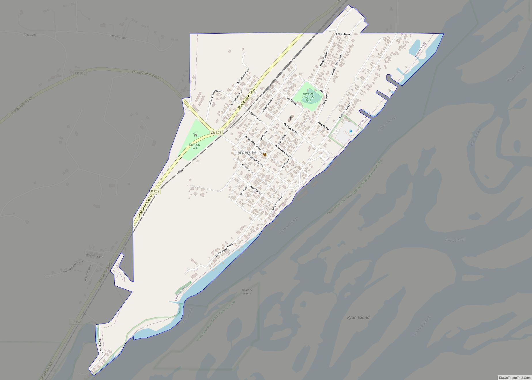
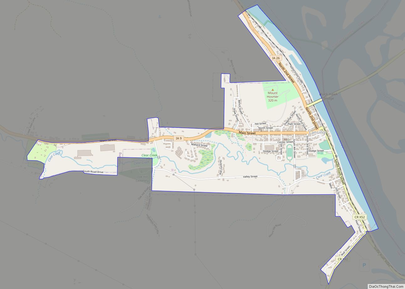
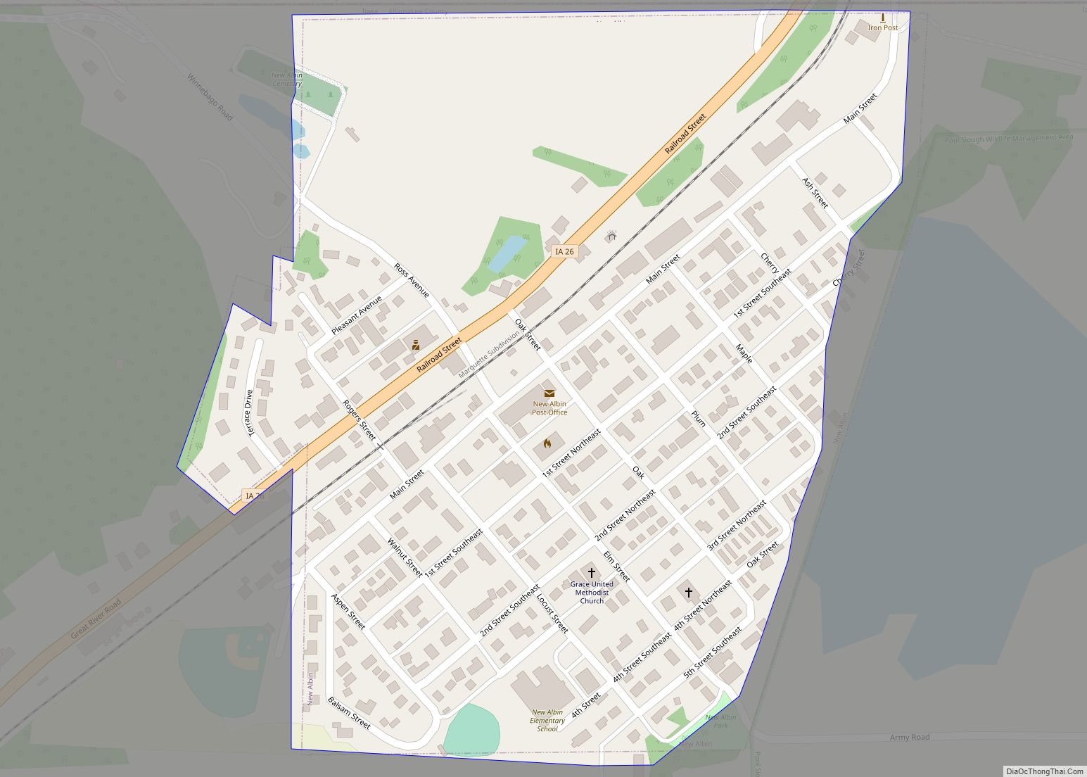
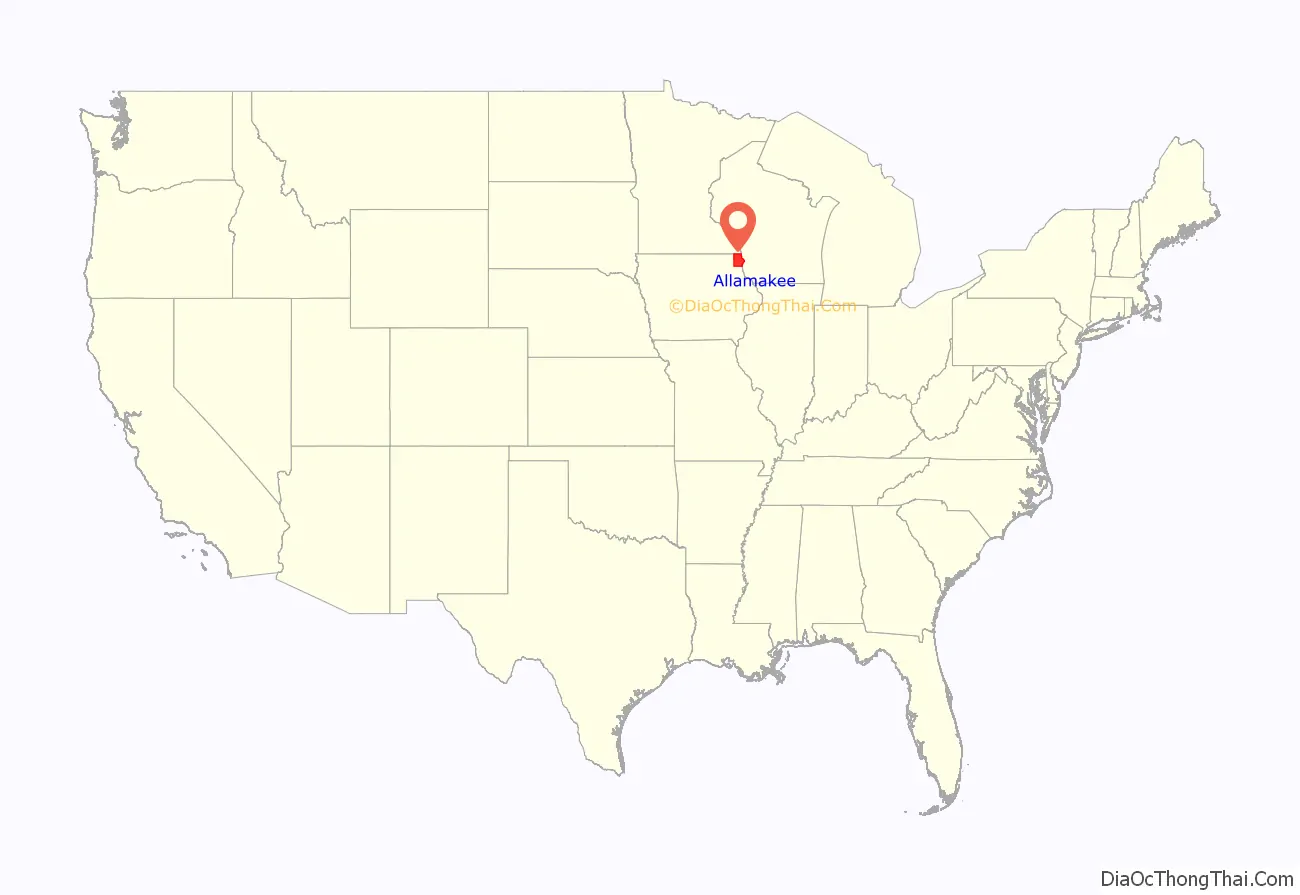
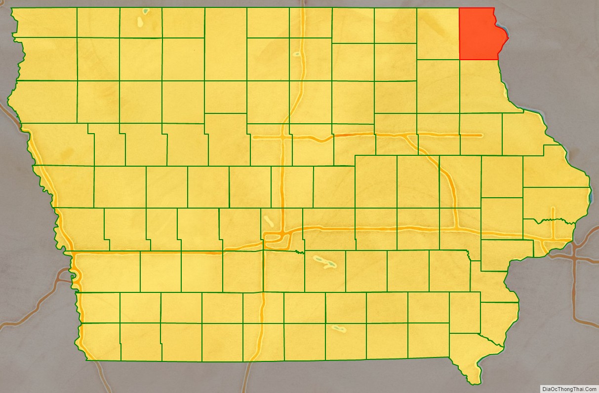
Allamakee County (/ˈæləməˌki/) is the northeasternmost county in the U.S. state of Iowa. As of the 2020 census, the population was 14,061. Its county seat is Waukon.
| Name: | Allamakee County |
|---|---|
| FIPS code: | 19-005 |
| State: | Iowa |
| Founded: | 1847 |
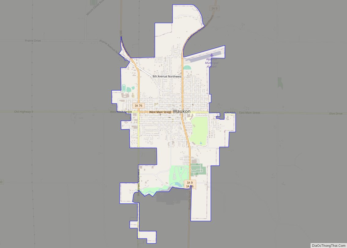
| Seat: | Waukon |
| Largest city: | Waukon |
| Total Area: | 659 sq mi (1,710 km²) |
| Land Area: | 639 sq mi (1,660 km²) |
| Total Population: | 14,061 |
| Population Density: | 21/sq mi (8.2/km²) |
| Time zone: | UTC−6 (Central) |
| Summer Time Zone (DST): | UTC−5 (CDT) |
| Website: | allamakeecounty.iowa.gov |
Allamakee County location map. Where is Allamakee County?
History
Allamakee County was formed on February 20, 1847. The derivation of the name is debated, some believing it was the name of an Indian chief, others think it was named for Allen Magee, an early historic trader. The first Allamakee County Courthouse in Waukon, built in 1861, now serves as the Allamakee County Historical Museum. The present Allamakee County Court House was built in 1940. Both courthouse buildings are listed on the National Register of Historic Places.
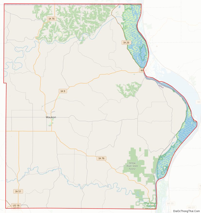
Allamakee County Road Map

Geography
According to the U.S. Census Bureau, the county has a total area of 659 square miles (1,710 km), of which 639 square miles (1,660 km) is land and 20 square miles (52 km) (3.0%) is water.
In the northern part of the county is the Upper Iowa River. In the southern part is the Yellow River. The eastern boundary is the Mississippi River. All offer scenic and recreational opportunities, particularly in Yellow River State Forest.
French Creek flows north of Waukon, outside the city limits. Paint Creek, named after Paint Rock Bluff, flows out of the south of Waukon. Norfolk creek originates in the western outskirts of Waukon and is effluent to the Yellow River. Clear Creek flows into Lansing. Village Creek flows through essentially rural terrain. All are tributary to the Mississippi River.
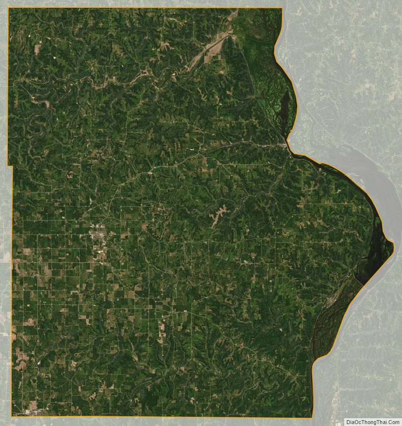
The landforms encountered in the county are very unlike those found in most of Iowa, which is mostly absent Glacial Drift. As part of the Driftless Area, the county was ice free during the last ice age, and as one progresses to the Mississippi River, the streams and rivers display high-walled canyons carved of Silurian period bedrock. This Driftless Area also includes parts of Clayton, Fayette, Winneshiek, Howard, Dubuque, and Jackson Counties.
Major highways
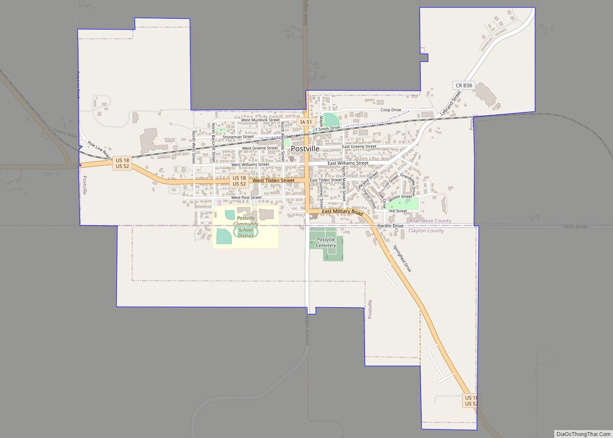
- U.S. Highway 18
- U.S. Highway 52
- Iowa Highway 9
- Iowa Highway 26
- Iowa Highway 51
- Iowa Highway 76
Adjacent counties
- Houston County, Minnesota (north)
- Vernon County, Wisconsin (northeast)
- Crawford County, Wisconsin (east)
- Clayton County (south)
- Winneshiek County (west)
- Fayette County (southwest)
Allamakee County Topographic Map
Allamakee County Satellite Map
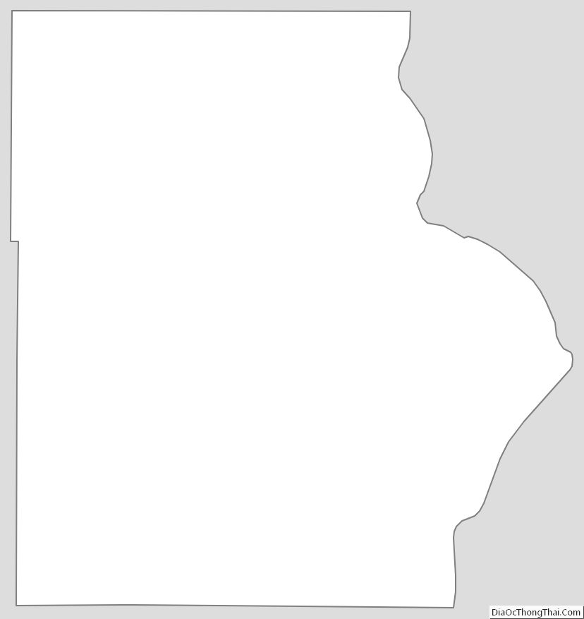
Allamakee County Outline Map