Waukon is a city in Makee Township, Allamakee County, Iowa, United States, and the county seat of Allamakee County. The population was 3,827 at the time of the 2020 census.
| Name: | Waukon city |
|---|---|
| LSAD Code: | 25 |
| LSAD Description: | city (suffix) |
| State: | Iowa |
| County: | Allamakee County |
| Elevation: | 1,237 ft (377 m) |
| Total Area: | 2.84 sq mi (7.35 km²) |
| Land Area: | 2.84 sq mi (7.35 km²) |
| Water Area: | 0.00 sq mi (0.00 km²) |
| Total Population: | 3,827 |
| Population Density: | 1,349.44/sq mi (520.99/km²) |
| ZIP code: | 52172 |
| Area code: | 563 |
| FIPS code: | 1982740 |
| GNISfeature ID: | 0462754 |
| Website: | cityofwaukon.com |
Online Interactive Map
Click on ![]() to view map in "full screen" mode.
to view map in "full screen" mode.
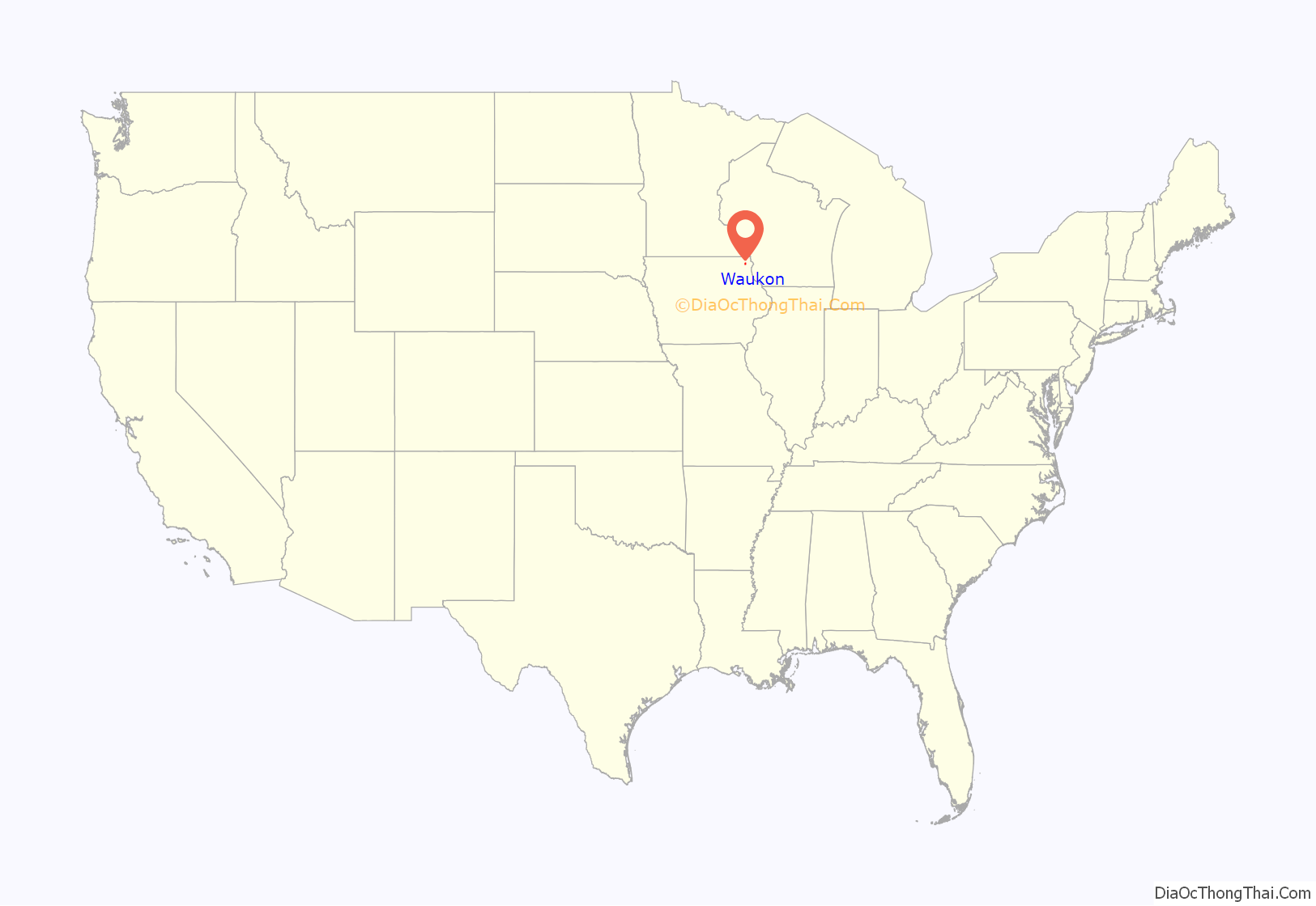
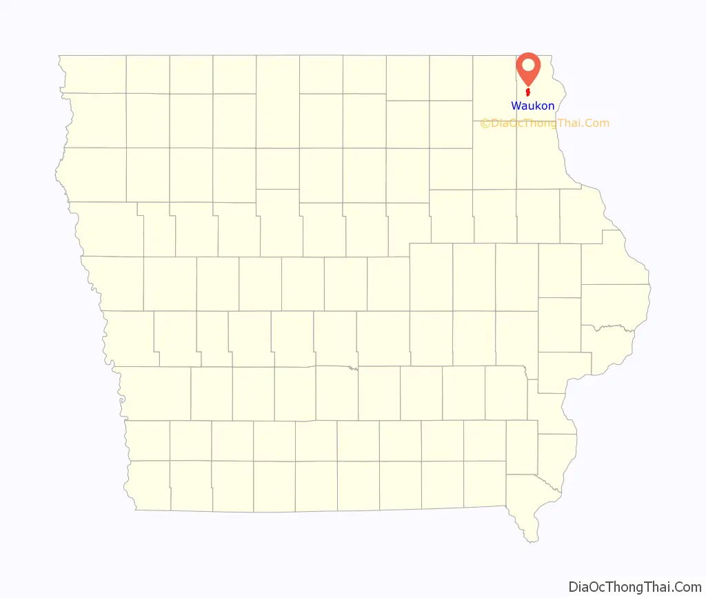
Waukon location map. Where is Waukon city?
History
Waukon is often said to be named for Waukon Decorah, a Ho Chunk (Winnebago) leader who was a U.S. ally during the 1832 Black Hawk War, although the city is also said to be named for his son Chief John Waukon. Winnebagos lived in this area of Iowa in the 1840s, before being forced to relocate to Minnesota.
The first white settler arrived in 1849, and the town was founded and the Waukon Post Office opened in 1853. A courthouse was completed in 1861, and the county seat was moved to Waukon in 1867 after 8 elections attempting to decide the location of the county seat. The town was incorporated in 1883. Ryan Griffith was the first mayor of Waukon, winning the 1883 election by unanimous decision.
Waukon is only about 16 miles from Waukon Junction, on the Mississippi River, but the rail line between these two points was 33 miles long, climbing 600 feet through some of the roughest terrain in Iowa. The Waukon and Mississippi Railroad, which opened in 1877, was originally built as a narrow gauge line. The line was originally controlled by the Chicago and Northwestern but was quickly acquired by the Chicago, Milwaukee and St. Paul Railway. The line was widened to standard gauge after purchase by the Milwaukee Road. Its only marginal traffic through its existence led to the road’s abandonment in the late 1960s.
There is a deposit of limonite (Iron Ore) about 3 miles northeast of Waukon called Iron Hill, holding an estimated 10 million tons of ore. This is the highest point in northeastern Iowa. the Waukon Iron Company began developing an open-pit mine and ore-washing plant on this site in 1899, with a capacity of 300 tons per 10-hour shift. Production was seriously limited by the need to haul the ore 3 miles to the railroad, and the mine was, ultimately, a failure.
A second and better capitalised attempt to mine this deposit was begun in 1907 by the Missouri Iron Company, with a railroad connection built in 1910 and a new ore processing plant completed in 1913 with a capacity of 350 to 400 tons per day. The total investment was estimated at $225,000, and two patents were issued for the machinery in the ore processing plant. This mine became the principal mine of the new Mississippi Valley Iron Company of St. Louis, Missouri in 1916.
That year, the mine produced 10,151 tons of concentrated ore, and in 1917, it produced 22,612 tons. In 1918 the mine produced over 7000 tons before it was shut down because of World War I.
The mine never recovered from this shutdown, and the equipment was sold for scrap in 1937. Iron Mine Drive and Allamakee Street cross north of the sites of both old mines (43°17′53.62″N 91°27′35.85″W / 43.2982278°N 91.4599583°W / 43.2982278; -91.4599583).
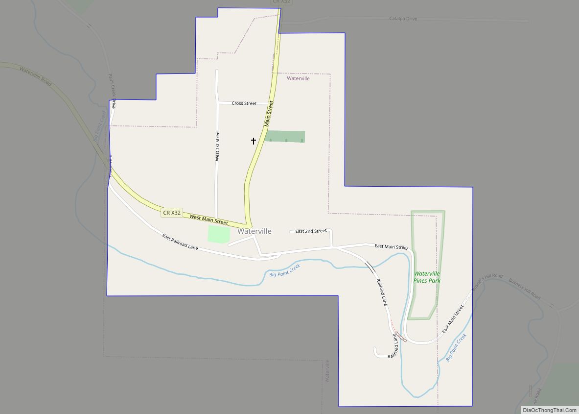
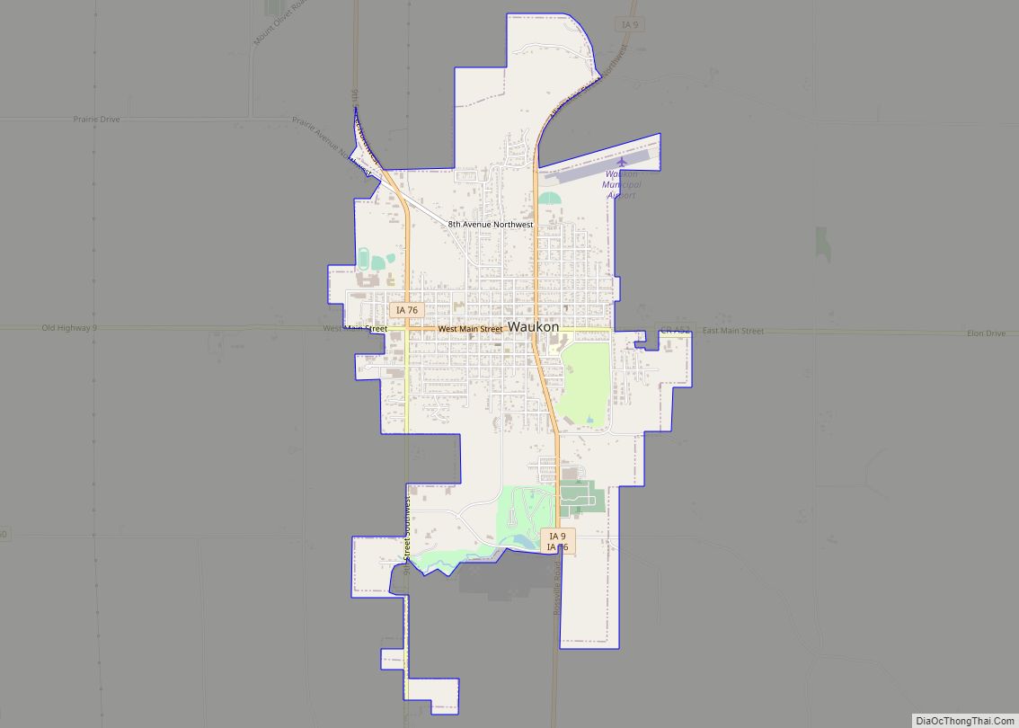
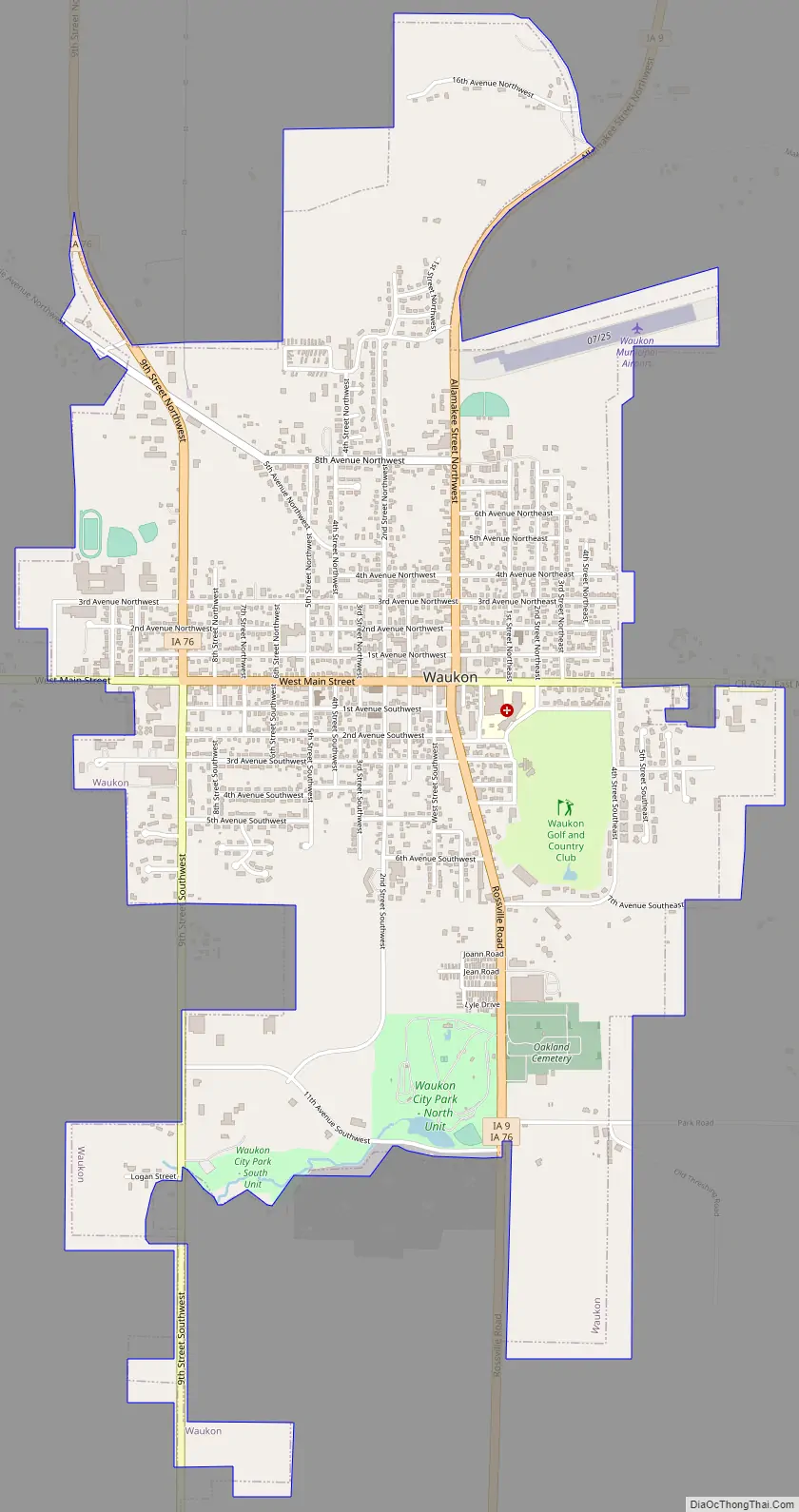
Waukon Road Map
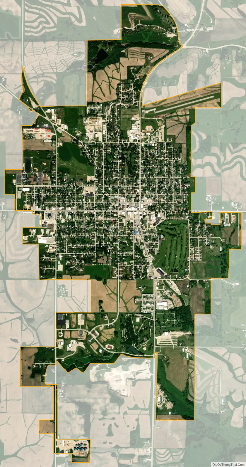
Waukon city Satellite Map
Geography
Waukon is located at 43°16′8″N 91°28′45″W / 43.26889°N 91.47917°W / 43.26889; -91.47917 (43.268889, -91.479212). The headwaters of the north branch of Paint Creek are in Waukon, and the town is just south of the headwaters of Village Creek. This is on the west edge of the deeply eroded Driftless Area of northwest Iowa. The town sits on a plain underlain by the Galena Limestone formation. There are many sinkholes in this plain south of Waukon. To the north, a tongue of Galena Limestone underlies Iron Hill.
According to the United States Census Bureau, the city has a total area of 2.82 square miles (7.30 km), all land.
Climate
See also
Map of Iowa State and its subdivision:- Adair
- Adams
- Allamakee
- Appanoose
- Audubon
- Benton
- Black Hawk
- Boone
- Bremer
- Buchanan
- Buena Vista
- Butler
- Calhoun
- Carroll
- Cass
- Cedar
- Cerro Gordo
- Cherokee
- Chickasaw
- Clarke
- Clay
- Clayton
- Clinton
- Crawford
- Dallas
- Davis
- Decatur
- Delaware
- Des Moines
- Dickinson
- Dubuque
- Emmet
- Fayette
- Floyd
- Franklin
- Fremont
- Greene
- Grundy
- Guthrie
- Hamilton
- Hancock
- Hardin
- Harrison
- Henry
- Howard
- Humboldt
- Ida
- Iowa
- Jackson
- Jasper
- Jefferson
- Johnson
- Jones
- Keokuk
- Kossuth
- Lee
- Linn
- Louisa
- Lucas
- Lyon
- Madison
- Mahaska
- Marion
- Marshall
- Mills
- Mitchell
- Monona
- Monroe
- Montgomery
- Muscatine
- O'Brien
- Osceola
- Page
- Palo Alto
- Plymouth
- Pocahontas
- Polk
- Pottawattamie
- Poweshiek
- Ringgold
- Sac
- Scott
- Shelby
- Sioux
- Story
- Tama
- Taylor
- Union
- Van Buren
- Wapello
- Warren
- Washington
- Wayne
- Webster
- Winnebago
- Winneshiek
- Woodbury
- Worth
- Wright
- Alabama
- Alaska
- Arizona
- Arkansas
- California
- Colorado
- Connecticut
- Delaware
- District of Columbia
- Florida
- Georgia
- Hawaii
- Idaho
- Illinois
- Indiana
- Iowa
- Kansas
- Kentucky
- Louisiana
- Maine
- Maryland
- Massachusetts
- Michigan
- Minnesota
- Mississippi
- Missouri
- Montana
- Nebraska
- Nevada
- New Hampshire
- New Jersey
- New Mexico
- New York
- North Carolina
- North Dakota
- Ohio
- Oklahoma
- Oregon
- Pennsylvania
- Rhode Island
- South Carolina
- South Dakota
- Tennessee
- Texas
- Utah
- Vermont
- Virginia
- Washington
- West Virginia
- Wisconsin
- Wyoming