Winneshiek County is a county located in the U.S. state of Iowa. As of the 2020 census, the population was 20,070. The county seat is Decorah.
| Name: | Winneshiek County |
|---|---|
| FIPS code: | 19-191 |
| State: | Iowa |
| Founded: | 1847 |
| Named for: | Chief Winneshiek |
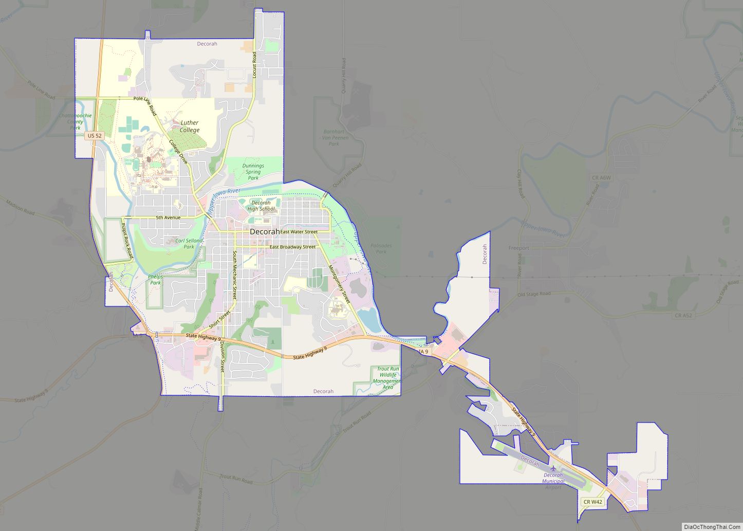
| Seat: | Decorah |
| Largest city: | Decorah |
| Total Area: | 690 sq mi (1,800 km²) |
| Land Area: | 690 sq mi (1,800 km²) |
| Total Population: | 20,070 |
| Population Density: | 29/sq mi (11/km²) |
| Time zone: | UTC−6 (Central) |
| Summer Time Zone (DST): | UTC−5 (CDT) |
| Website: | winneshiekcounty.iowa.gov |
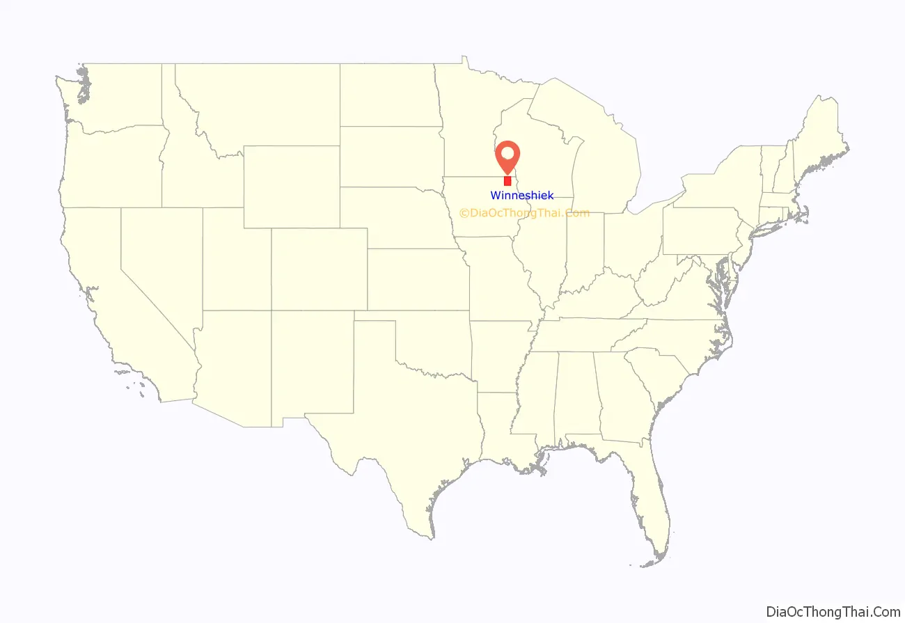
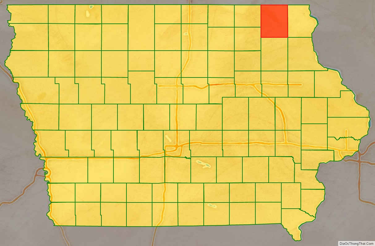
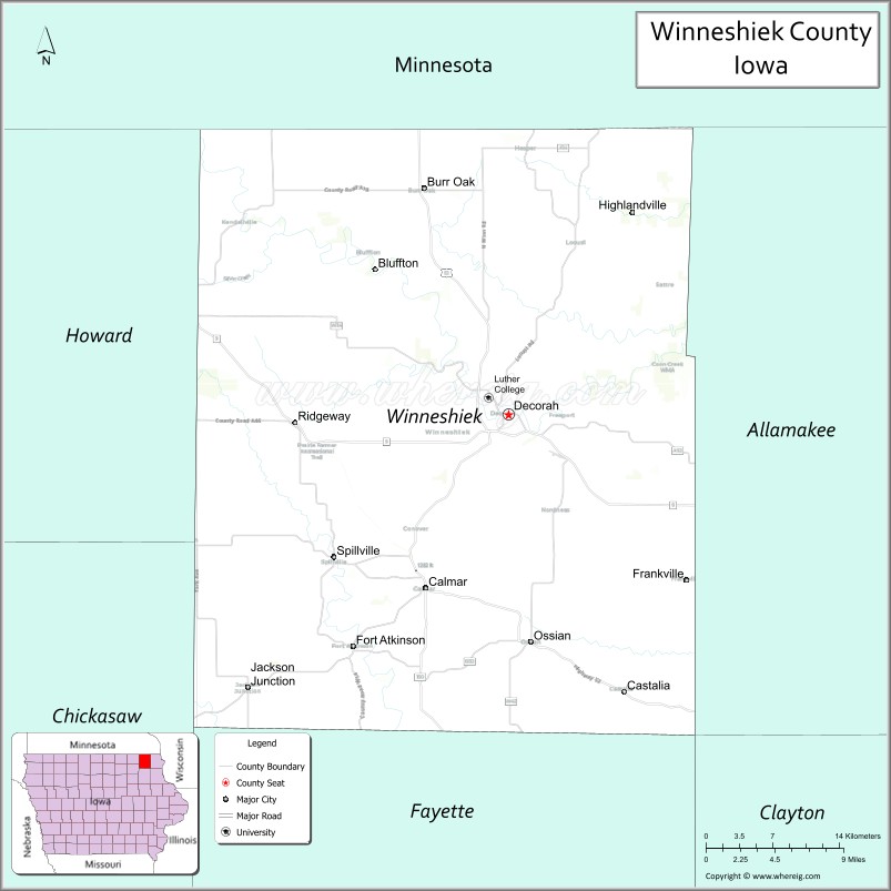
Winneshiek County location map. Where is Winneshiek County?
History
A largely rural and agricultural county, Winneshiek County has a rich cultural history from Czech, Slovak, English, Irish, German, Swiss, and Norwegian immigrants that have settled within its boundaries.
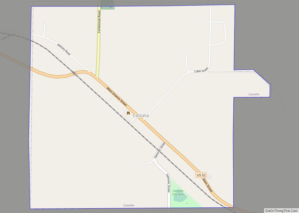
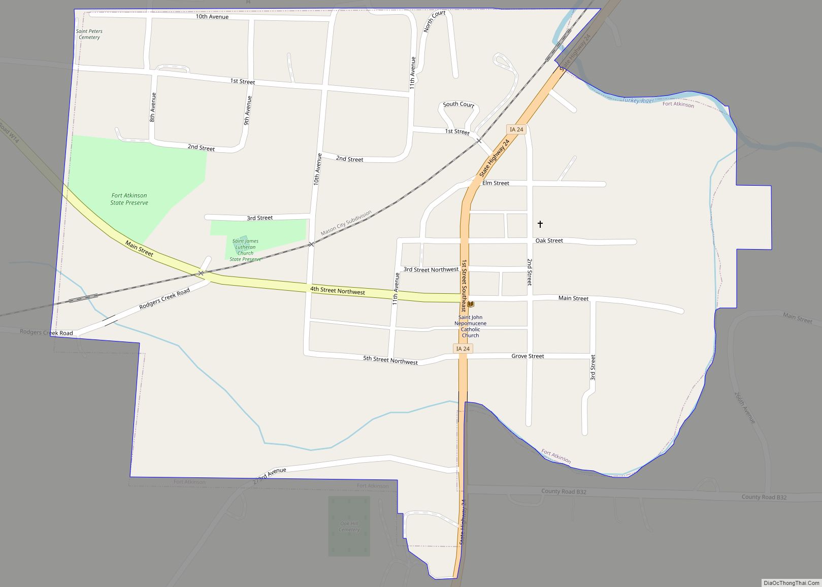
The county was originally settled in 1848 in present-day Bloomfield Township (near Castalia, Iowa) and in Washington Township (near Fort Atkinson, Iowa). It was organized in 1847, and named after a chief of the Winnebago tribe.
In 1980, Winneshiek County reported a population of 21,842. Like much of Iowa during the 1980s it witnessed a population loss, dropping to 20,847 according to the 1990 United States Census. However, during the 1990s the county experienced some mild growth and was able to rise above the 21,000 mark once again.
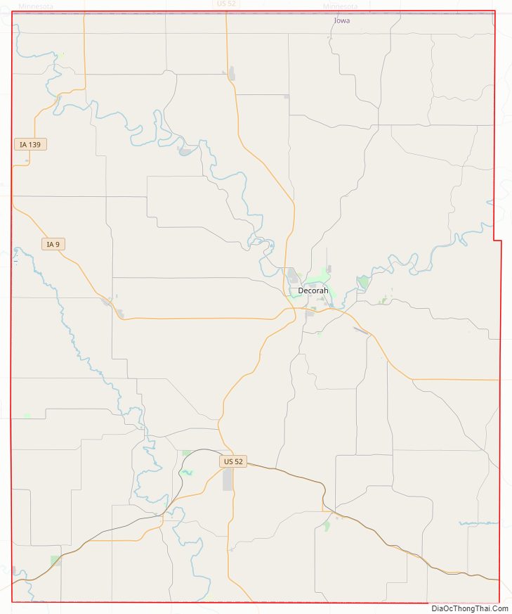
Winneshiek County Road Map
Geography
According to the U.S. Census Bureau, the county has a total area of 690 square miles (1,800 km), of which 690 square miles (1,800 km) is land and 0.3 square miles (0.78 km) (0.04%) is water.
Major highways
- U.S. Highway 52
- Iowa Highway 9
- Iowa Highway 24
- Iowa Highway 139
- Iowa Highway 150
Adjacent counties
- Fillmore County, Minnesota (northwest)
- Houston County, Minnesota (northeast)
- Allamakee County (east)
- Fayette County (south)
- Chickasaw County (southwest)
- Howard County (west)
- Clayton County (southeast)
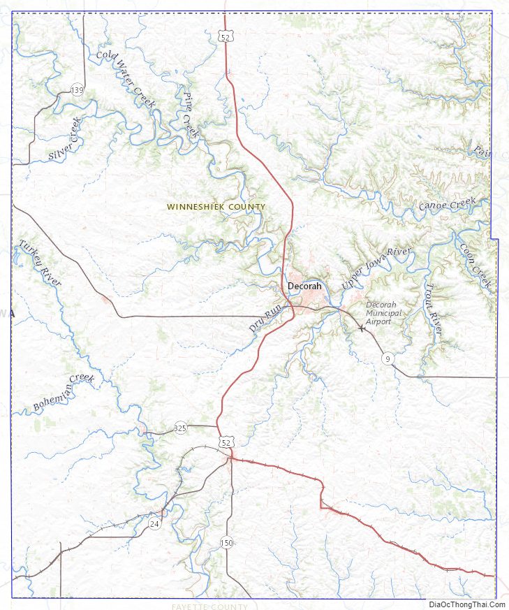
Winneshiek County Topographic Map
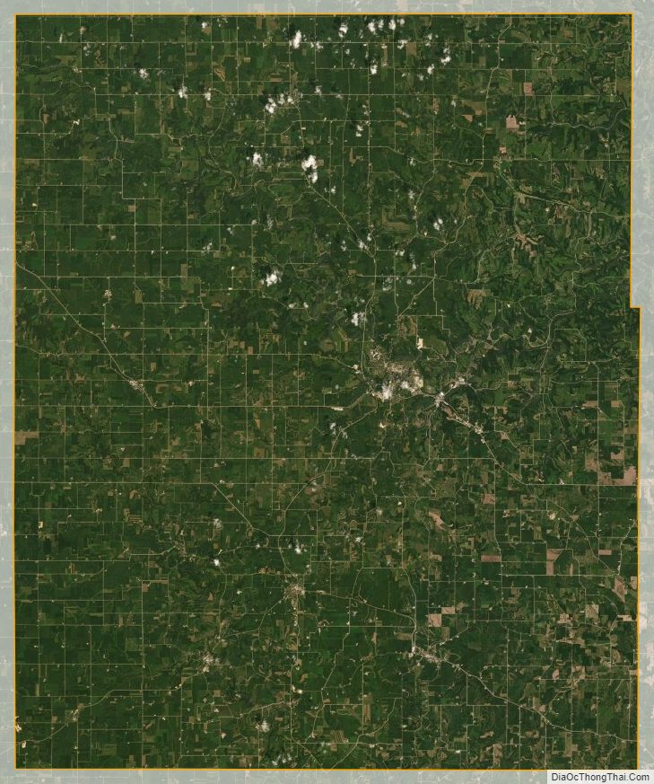
Winneshiek County Satellite Map
Winneshiek County Outline Map