Androscoggin County (French: Comté d’Androscoggin) is a county in the U.S. state of Maine. As of the 2020 census, the county’s population was 111,139. Its county seat is Auburn and its largest city is Lewiston.
Androscoggin County comprises the Lewiston-Auburn, Maine Metropolitan Statistical Area and is partially included in the Lewiston-Auburn, Maine, Metropolitan New England City and Town Area. It is also a part of the Portland-Lewiston-South Portland, Maine Combined Statistical Area.
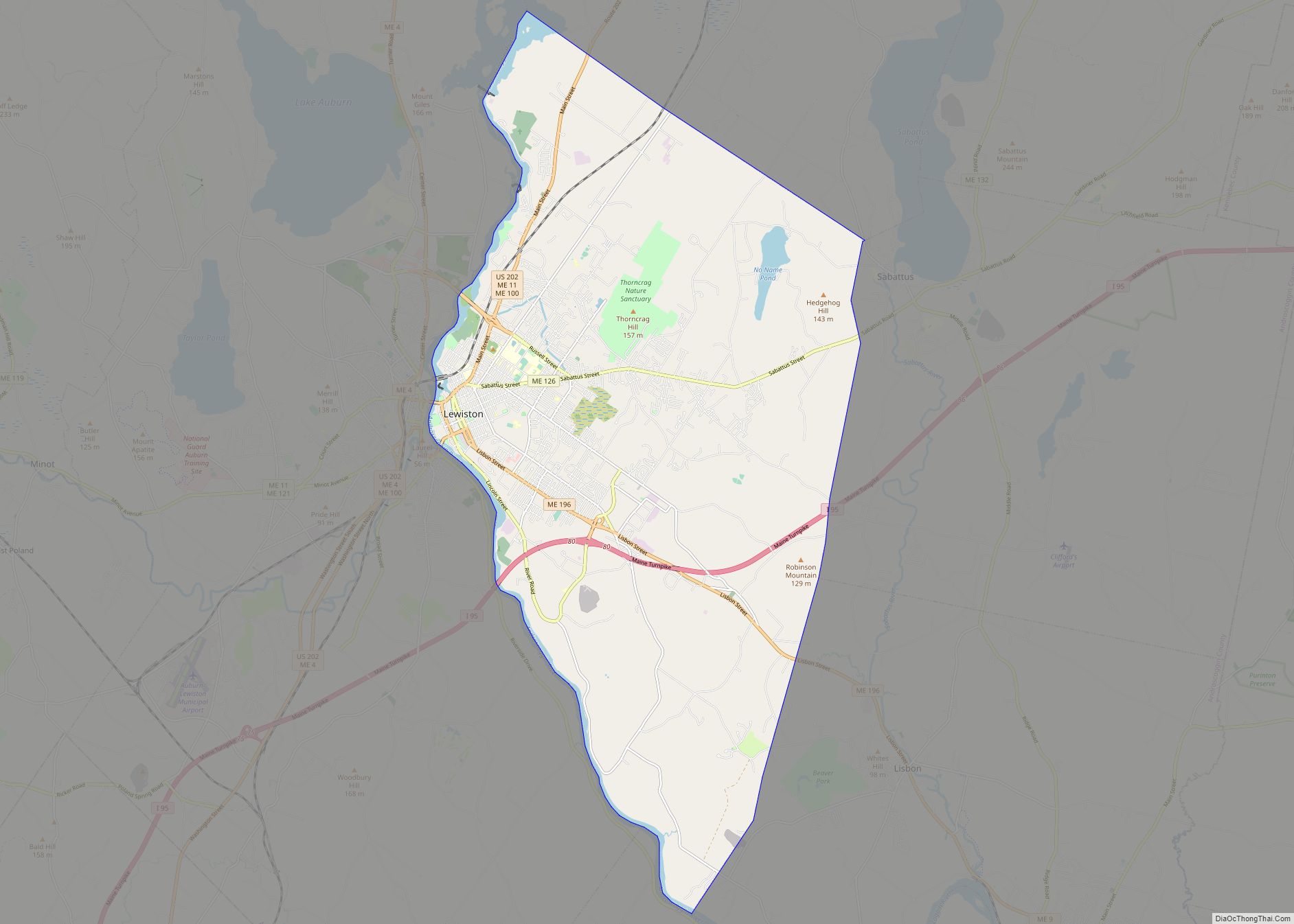
Bates College is in the Androscoggin County city of Lewiston.
| Name: | Androscoggin County |
|---|---|
| FIPS code: | 23-001 |
| State: | Maine |
| Founded: | March 18, 1854 |
| Named for: | the Androscoggin tribe |
| Seat: | Auburn |
| Largest city: | Lewiston |
| Total Area: | 497 sq mi (1,290 km²) |
| Land Area: | 468 sq mi (1,210 km²) |
| Total Population: | 111,139 |
| Population Density: | 220/sq mi (86/km²) |
| Time zone: | UTC−5 (Eastern) |
| Summer Time Zone (DST): | UTC−4 (EDT) |
| Website: | www.androscoggincountymaine.gov |
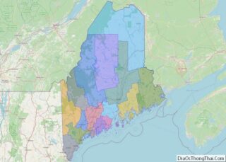
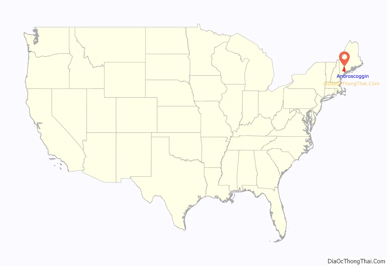
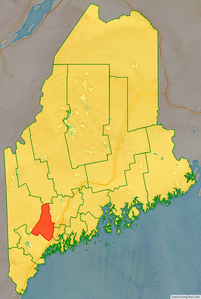
Androscoggin County location map. Where is Androscoggin County?
History
Demand for a new county emerged when the residents of the rapidly growing town of Lewiston complained of the long distance they had to travel to reach Wiscasset, the county seat of Lincoln County, in which Lewiston was originally located. It was also an impractical circumstance as Lewiston’s neighbor, Auburn, was part of Cumberland County. As the growing partnership of the two towns emerged, the case for the towns to be in the same county grew. Different plans were discussed, including Lewiston joining Cumberland County. Eventually, the idea of a new county came to the table. The debate then became over which town would be the center of the new county. Bath, Brunswick, and Lewiston each desired the distinction. Lewiston eventually won the debate. Androscoggin County was created in 1854 from towns originally in Cumberland County, Lincoln County, Kennebec County, and Oxford County.
The next issue centered on where to put the county seat, as both Lewiston and Auburn desired to be named the county seat. It would eventually be put to a vote, with both towns putting different offers on the table, including ideas to cut the costs of the new county buildings for surrounding towns. Auburn would eventually win a convincing victory, with the towns on each side of the river voting for the town on their side. As more people then lived to the west of the Androscoggin River, Auburn won the vote.
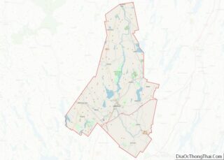
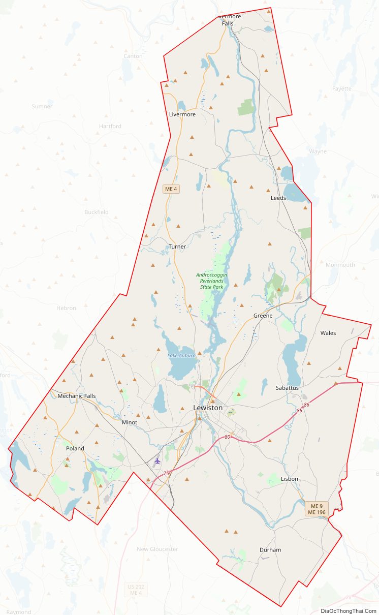
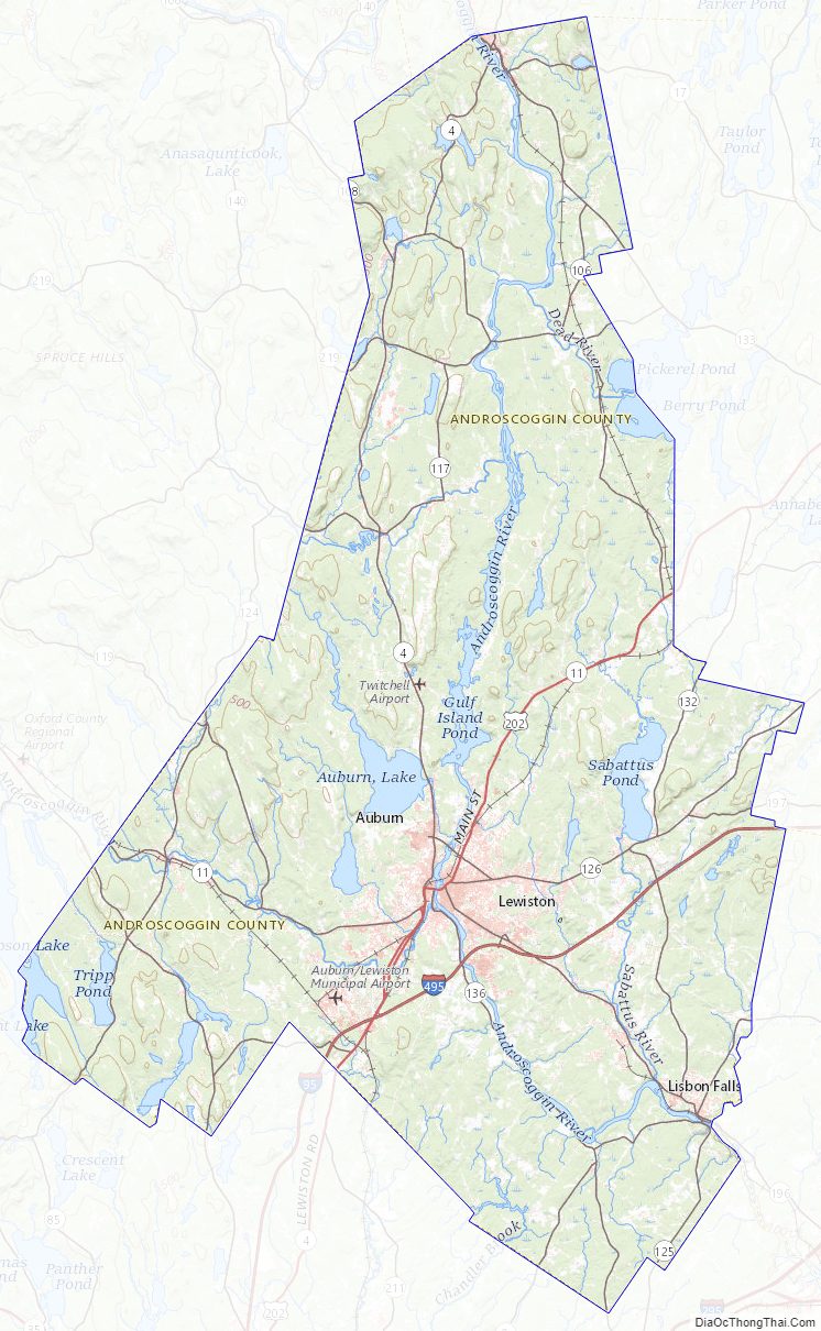
Androscoggin County Road Map
Geography
According to the U.S. Census Bureau, the county has a total area of 497 square miles (1,290 km), of which 468 square miles (1,210 km) is land and 29 square miles (75 km) (5.9%) is water. It is the second-smallest county in Maine by total area.
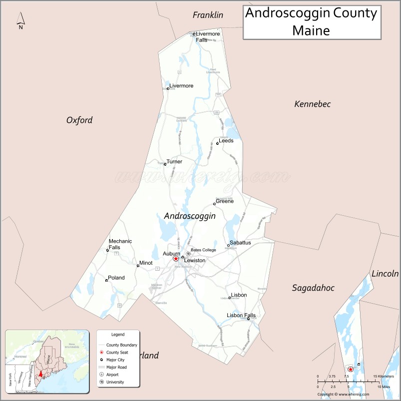
Adjacent counties
- Franklin County – north
- Kennebec County – northeast
- Sagadahoc County – southeast
- Cumberland County – south
- Oxford County – west
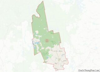
Androscoggin County Topographic Map
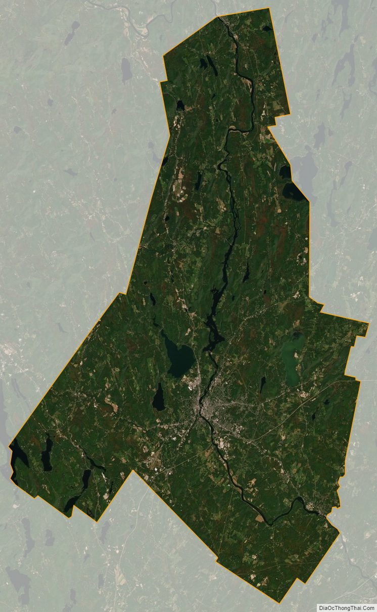
Androscoggin County Satellite Map
Androscoggin County Outline Map