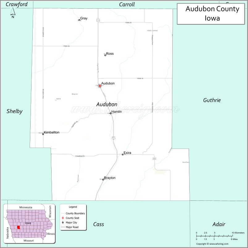
Audubon County is a county in the U.S. state of Iowa. As of the 2020 census, the population was 5,674, making it Iowa’s third-least populous county. Its county seat is Audubon. The county was named after John James Audubon, the naturalist and artist.
| Name: | Audubon County |
|---|---|
| FIPS code: | 19-009 |
| State: | Iowa |
| Founded: | 1851 |
| Named for: | John James Audubon |
| Seat: | Audubon |
| Largest city: | Audubon |
| Total Area: | 443 sq mi (1,150 km²) |
| Land Area: | 443 sq mi (1,150 km²) |
| Total Population: | 5,674 |
| Population Density: | 13/sq mi (4.9/km²) |
| Time zone: | UTC−6 (Central) |
| Summer Time Zone (DST): | UTC−5 (CDT) |
| Website: | www.auduboncountyia.gov |
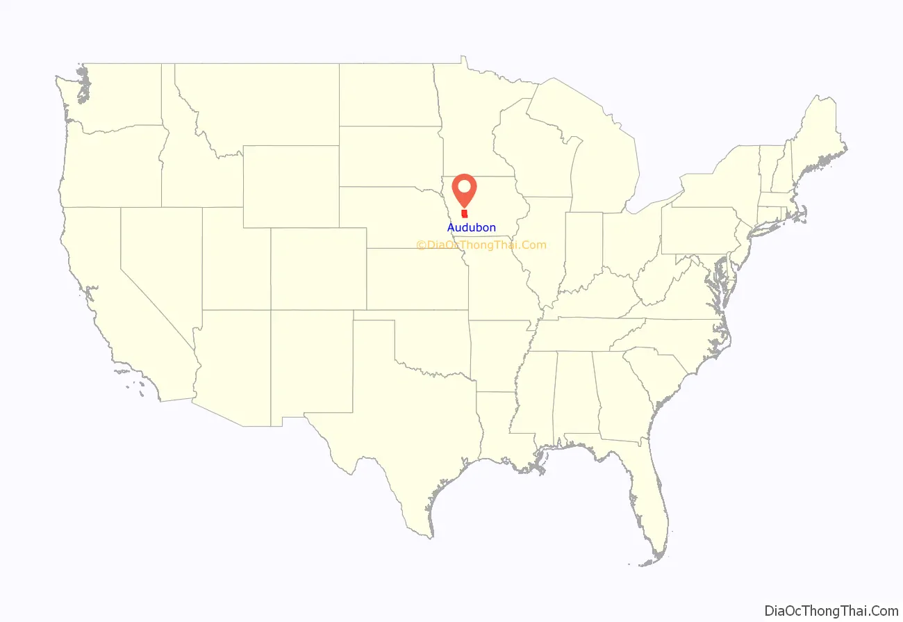
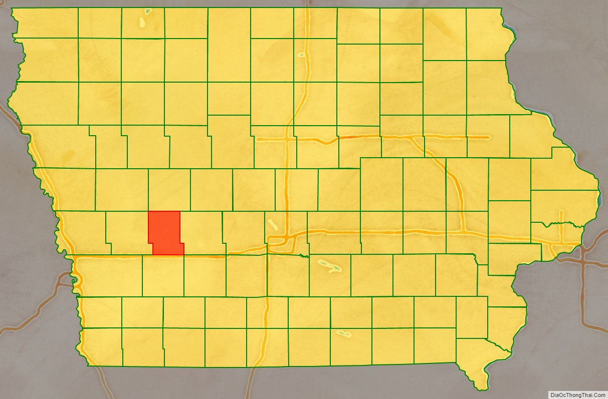
Audubon County location map. Where is Audubon County?
History
Audubon County was formed on January 15, 1851, from sections of Pottawattamie County. It was named after John James Audubon. The current Audubon County Court House was opened in 1940.
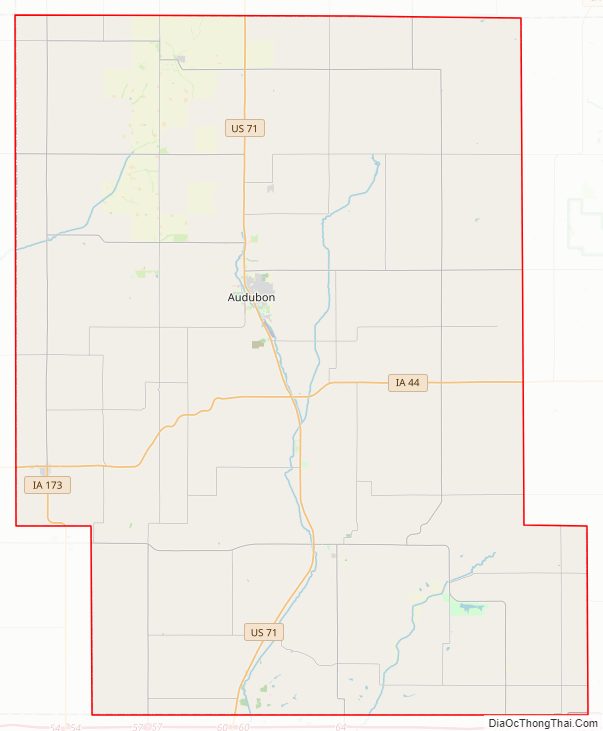
Audubon County Road Map
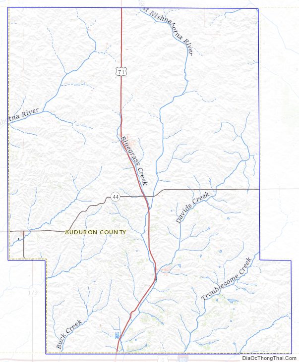
Geography
According to the U.S. Census Bureau, the county has an area of 443 square miles (1,150 km), of which 443 square miles (1,150 km) is land and 0.4 square miles (1.0 km) (0.1%) is water.
Major highways
- U.S. Highway 71
- Iowa Highway 44
- Iowa Highway 173
Adjacent counties
- Carroll County (north)
- Guthrie County (east)
- Cass County (south)
- Shelby County (west)
Audubon County Topographic Map
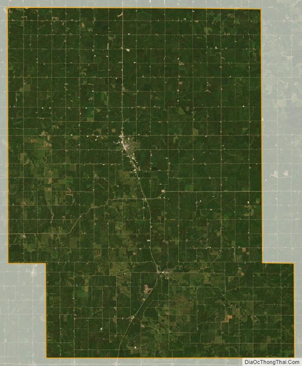
Audubon County Satellite Map
Audubon County Outline Map