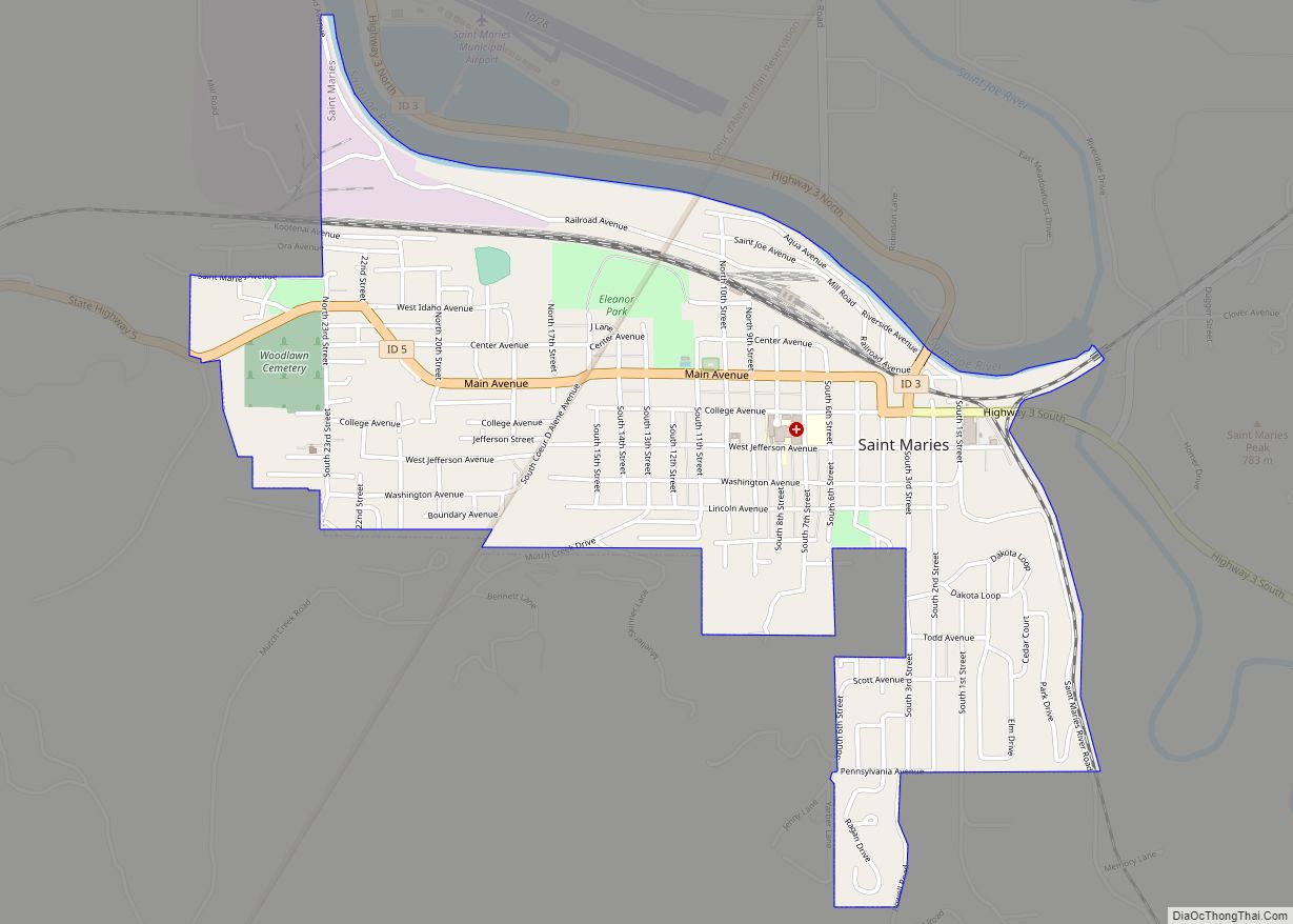
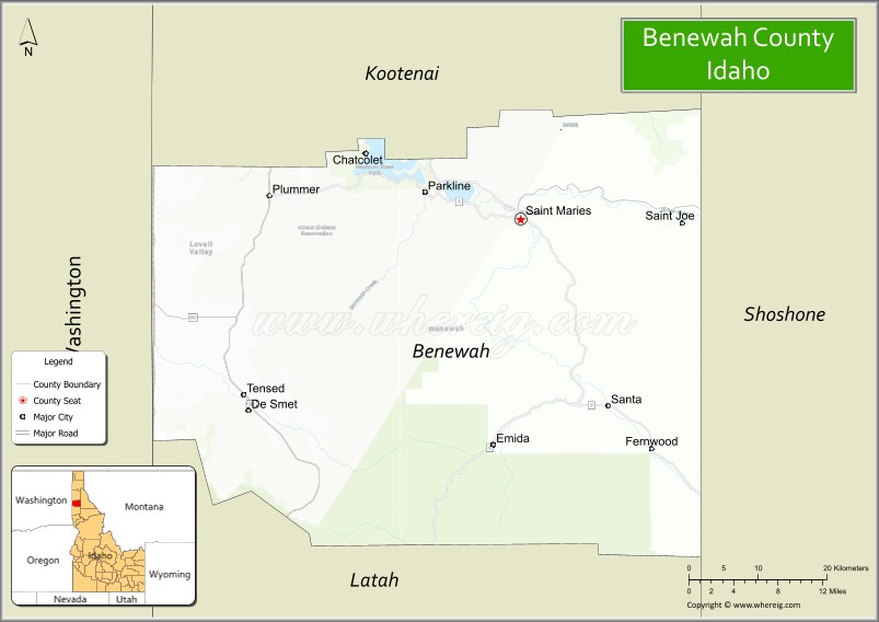
Benewah County (/ˈbɛnəˌwɑː/) is a county located in the northwest part of the U.S. state of Idaho. As of the 2020 United States Census the county had a population of 9,530. The county seat and largest city is St. Maries, which has some area inside the Coeur d’Alene Reservation.
The county was established on January 23, 1915, of land partitioned from Kootenai County. It was named for a chief of the Coeur d’Alene Tribe. The federally recognized Coeur d’Alene Tribe is based on the Coeur d’Alene Reservation in this and neighboring Kootenai County.
| Name: | Benewah County |
|---|---|
| FIPS code: | 16-009 |
| State: | Idaho |
| Founded: | January 23, 1915 |
| Seat: | St. Maries |
| Largest city: | St. Maries |
| Total Area: | 784 sq mi (2,030 km²) |
| Land Area: | 777 sq mi (2,010 km²) |
| Total Population: | 9,530 |
| Population Density: | 12/sq mi (4.7/km²) |
| Time zone: | UTC−8 (Pacific) |
| Summer Time Zone (DST): | UTC−7 (PDT) |
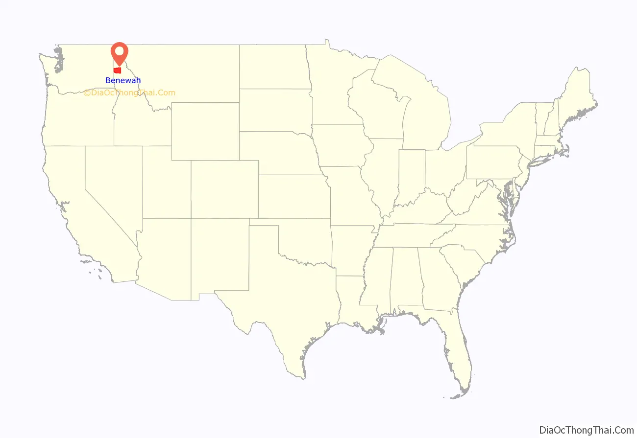
Benewah County location map. Where is Benewah County?
Benewah County Road Map
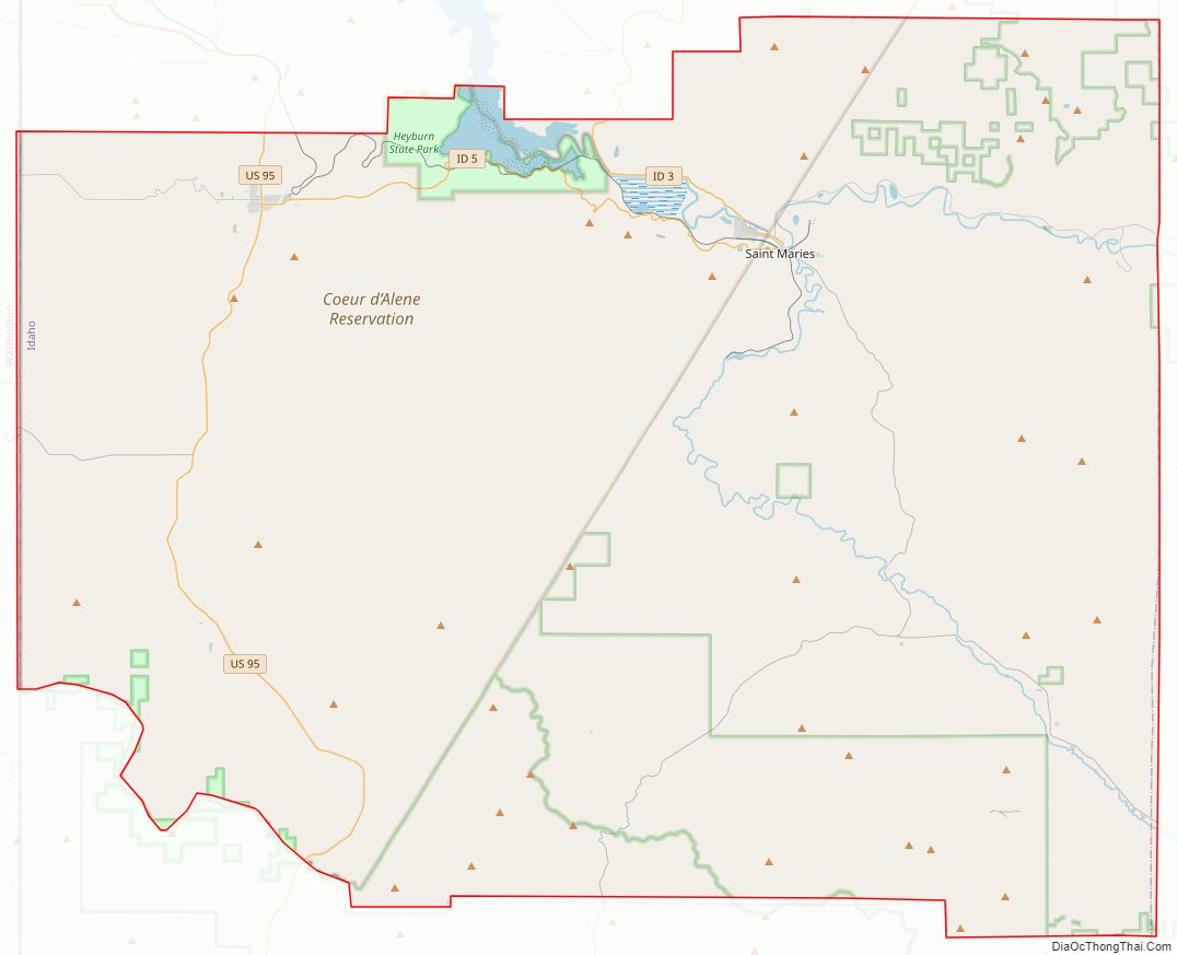
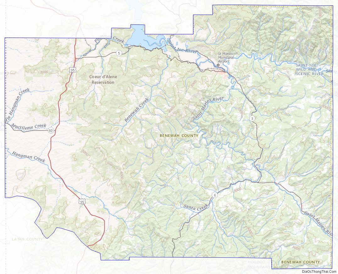
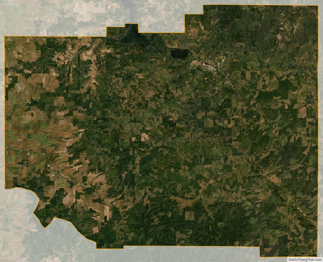
Geography
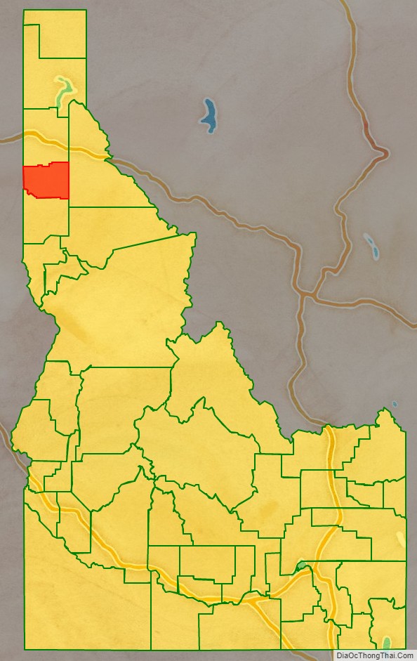
Benewah County lies on the west line of the state. Its west boundary line abuts the east boundary line of the state of Washington. The county has a total area of 784 square miles (2,030 km), of which 777 square miles (2,010 km) is land and 7.3 square miles (19 km) (0.9%) is water. It is the northern part of the Palouse, a wide and rolling prairie-like region of the middle Columbia basin.
Adjacent counties
- Spokane County, Washington – northwest
- Kootenai County – north
- Shoshone County – east
- Latah County – south
- Whitman County, Washington – southwest
Major highways
- – US 95
- – SH-3
- – SH-5
- – SH-6
- – SH-58
- – SH-60
National protected area
- St. Joe National Forest (part)
State protected areas
- Heyburn State Park
- McCroskey State Park
Benewah County Topographic Map
Benewah County Satellite Map
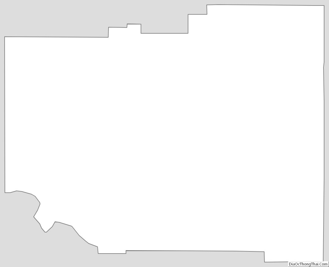
Benewah County Outline Map