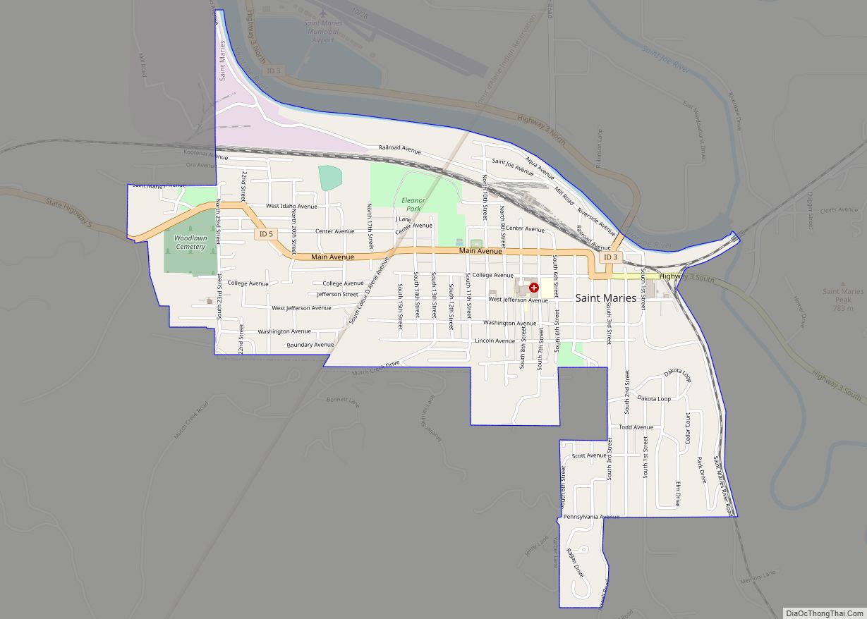
St. Maries (pronounced like “St. Mary’s”) is a city in north central Idaho, the largest in rural Benewah County and its county seat. Its population was 2,402 at the 2010 census, down from 2,652 in 2000.
| Name: | St. Maries city |
|---|---|
| LSAD Code: | 25 |
| LSAD Description: | city (suffix) |
| State: | Idaho |
| County: | Benewah County |
| Elevation: | 2,192 ft (668 m) |
| Total Area: | 1.19 sq mi (3.08 km²) |
| Land Area: | 1.19 sq mi (3.08 km²) |
| Water Area: | 0.00 sq mi (0.00 km²) |
| Total Population: | 2,402 |
| Population Density: | 2,062.34/sq mi (796.01/km²) |
| ZIP code: | 83861 |
| Area code: | 208, 986 |
| FIPS code: | 1671470 |
| GNISfeature ID: | 0398082 |
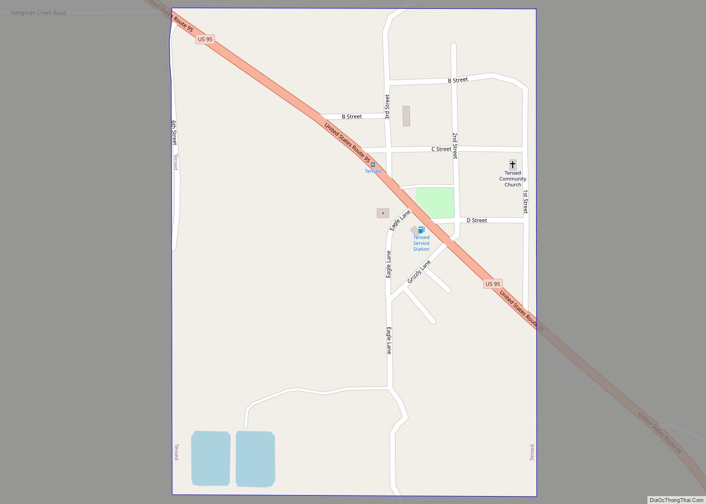
Online Interactive Map
Click on ![]() to view map in "full screen" mode.
to view map in "full screen" mode.
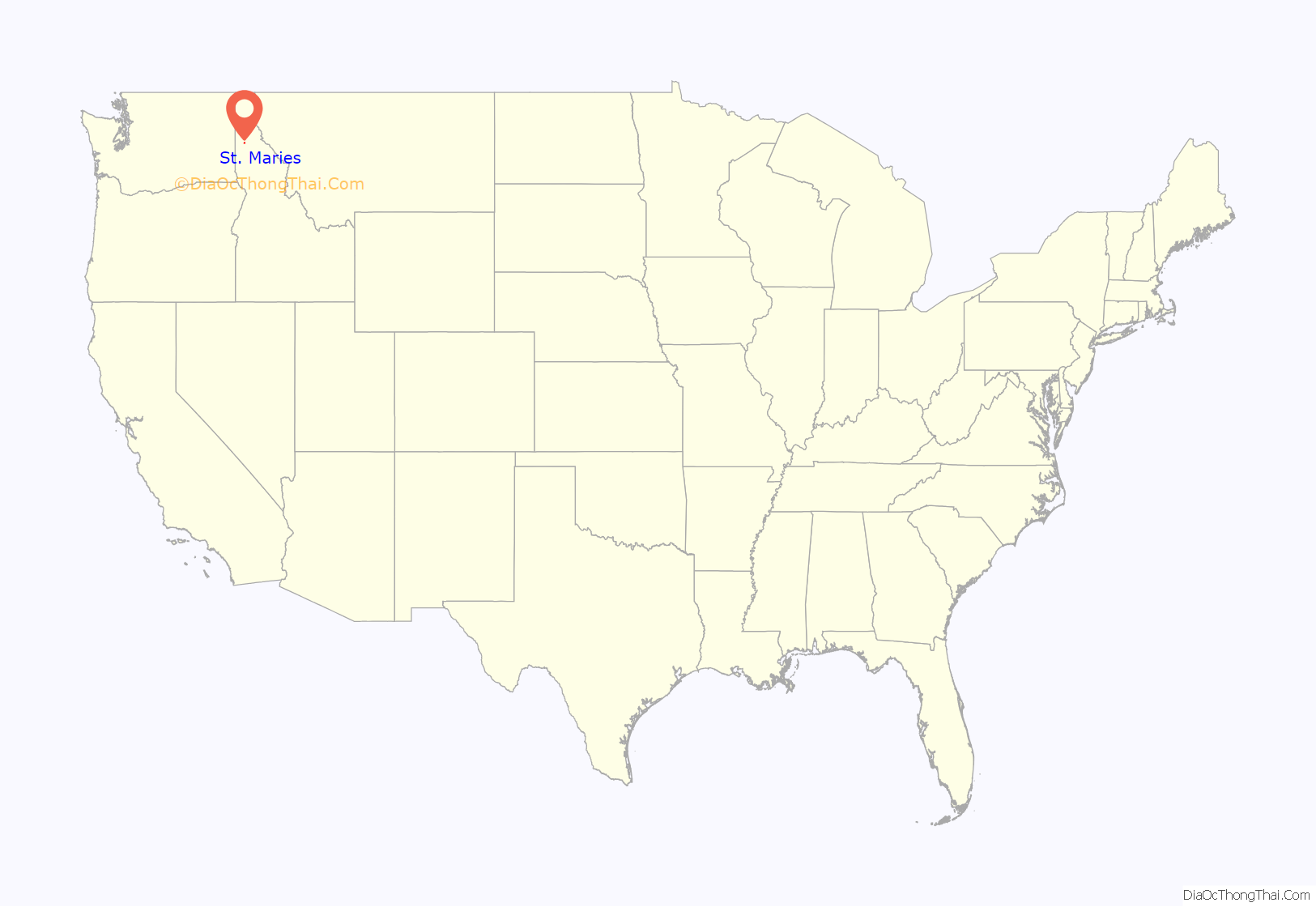
St. Maries location map. Where is St. Maries city?

History
The townsite was selected by Joseph Fisher, just southwest of the confluence of St. Maries River and St. Joe River, to provide a location for a sawmill, first built in 1889. The rivers and lake systems provided rapid transportation systems for floating logs to the mills and utilizing steamboats to transport finished products to market. From the city, the St. Joe River flows west, through several lakes and into the south end of Lake Coeur d’Alene.
The Pacific Extension of the Chicago, Milwaukee, St. Paul and Pacific Railroad (Milwaukee Road) arrived in 1908. The city was established in 1913 when Benewah County was formed from southern Kootenai County. In 1915 St. Maries was named its county seat.
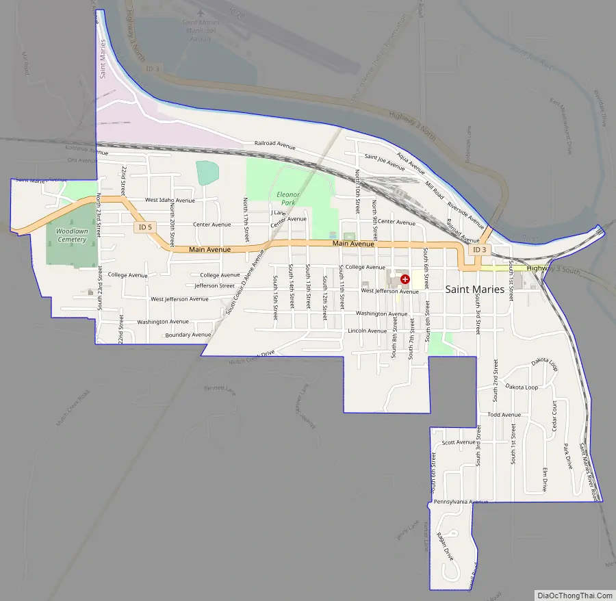
St. Maries Road Map
St. Maries city Satellite Map

Geography
According to the United States Census Bureau, the city has a total area of 1.10 square miles (2.85 km), all of it land. The St. Maries River to the east and the St. Joe River to the north frame the city.
Climate
According to the Köppen climate classification system, St. Maries has a warm-summer Mediterranean climate (Köppen Csb).
See also
Map of Idaho State and its subdivision:- Ada
- Adams
- Bannock
- Bear Lake
- Benewah
- Bingham
- Blaine
- Boise
- Bonner
- Bonneville
- Boundary
- Butte
- Camas
- Canyon
- Caribou
- Cassia
- Clark
- Clearwater
- Custer
- Elmore
- Franklin
- Fremont
- Gem
- Gooding
- Idaho
- Jefferson
- Jerome
- Kootenai
- Latah
- Lemhi
- Lewis
- Lincoln
- Madison
- Minidoka
- Nez Perce
- Oneida
- Owyhee
- Payette
- Power
- Shoshone
- Teton
- Twin Falls
- Valley
- Washington
- Alabama
- Alaska
- Arizona
- Arkansas
- California
- Colorado
- Connecticut
- Delaware
- District of Columbia
- Florida
- Georgia
- Hawaii
- Idaho
- Illinois
- Indiana
- Iowa
- Kansas
- Kentucky
- Louisiana
- Maine
- Maryland
- Massachusetts
- Michigan
- Minnesota
- Mississippi
- Missouri
- Montana
- Nebraska
- Nevada
- New Hampshire
- New Jersey
- New Mexico
- New York
- North Carolina
- North Dakota
- Ohio
- Oklahoma
- Oregon
- Pennsylvania
- Rhode Island
- South Carolina
- South Dakota
- Tennessee
- Texas
- Utah
- Vermont
- Virginia
- Washington
- West Virginia
- Wisconsin
- Wyoming