Bland County is a United States county located in the southwestern portion of the Commonwealth of Virginia. Like most of Southwestern Virginia, it is part of the Appalachian region. The county seat is the unincorporated area of Bland.
Bland County was created in 1861 from parts of Wythe, Tazewell, and Giles counties in Virginia. The new county was named in honor of Richard Bland, a Virginia statesman who served in the House of Burgesses and the Continental Congress.
As of the 2020 census, the county population was 6,270, making it the 4th least populated county in Virginia. Bland County is also one of the few counties in the United States that do not contain any incorporated municipalities.
| Name: | Bland County |
|---|---|
| FIPS code: | 51-021 |
| State: | Virginia |
| Founded: | 1861 |
| Named for: | Richard Bland |
| Seat: | Bland |
| Total Area: | 359 sq mi (930 km²) |
| Land Area: | 358 sq mi (930 km²) |
| Total Population: | 6,270 |
| Population Density: | 17/sq mi (6.7/km²) |
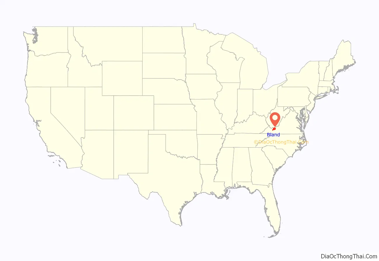
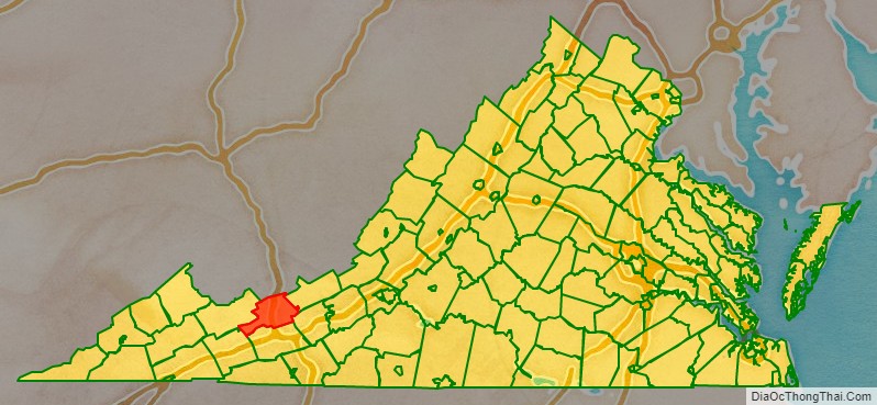
Bland County location map. Where is Bland County?
History
The push to create Bland County resulted from popular dissatisfaction with the distances required to travel to the various county seats in the area. The distances and the difficult mountain trails created a significant hardship for those needing to conduct legal affairs. In addition, the growing population resented paying taxes for benefits outside of the local area. This pressure eventually persuaded the Virginia General Assembly to take action to form a new county in the southwestern portion of the state.
Bland County was officially formed on March 30, 1861, from parts of Wythe, Tazewell, and Giles counties. Additional land from Giles County was added later. The county was named after Richard Bland, a Virginia statesman and political figure who helped lead the struggle for freedom and independence from England.
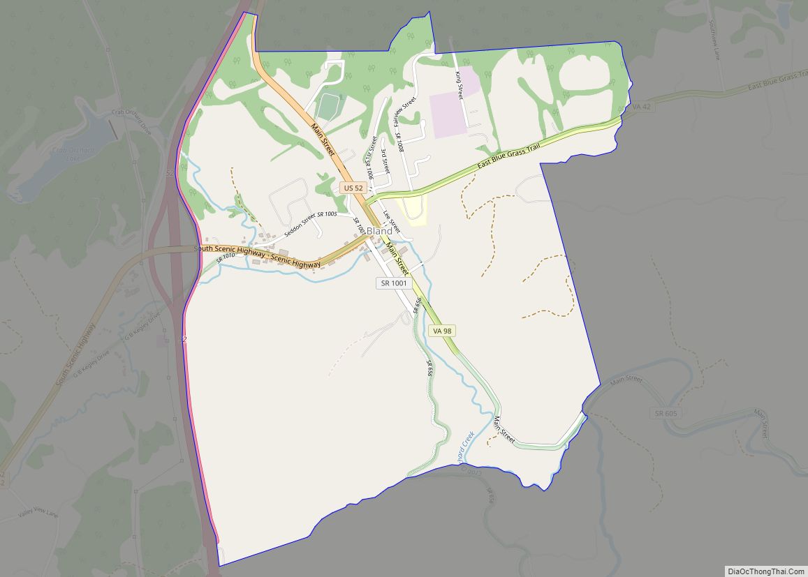
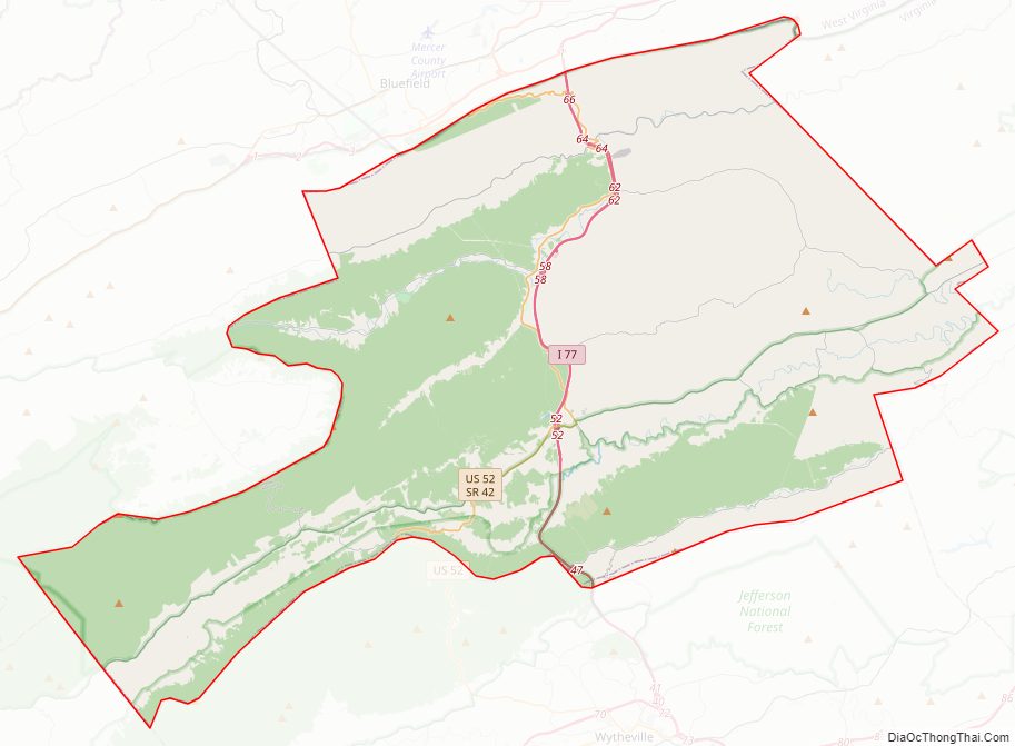
Bland County Road Map
Geography
According to the U.S. Census Bureau, the county has a total area of 358.7 square miles (929.0 km), of which 357.7 square miles (926.4 km) is land and 1.0 square mile (2.6 km) (0.3%) is water.
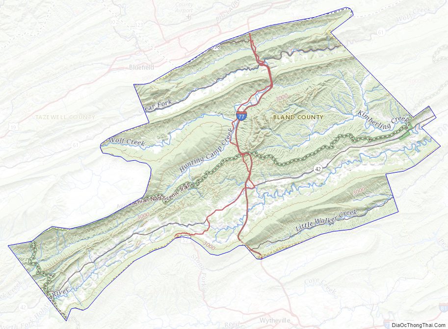
Bland County lies within the Appalachian Regional Commission’s definition of the Appalachian region. The county is mountainous with small river valleys running through the county. The county lies entirely within the Ridge and Valley physiographic province.
The North Fork of the Holston River has its head waters in Bland County.
Adjacent counties
- Mercer County, West Virginia – north
- Giles County – northeast
- Pulaski County – southeast
- Wythe County – south
- Smyth County – southwest
- Tazewell County – west
National protected area
- Jefferson National Forest (part)
Major highways
- I-74 (future)
- I-77
- US 52
- SR 42
- SR 61
- SR 598
Bland County Topographic Map
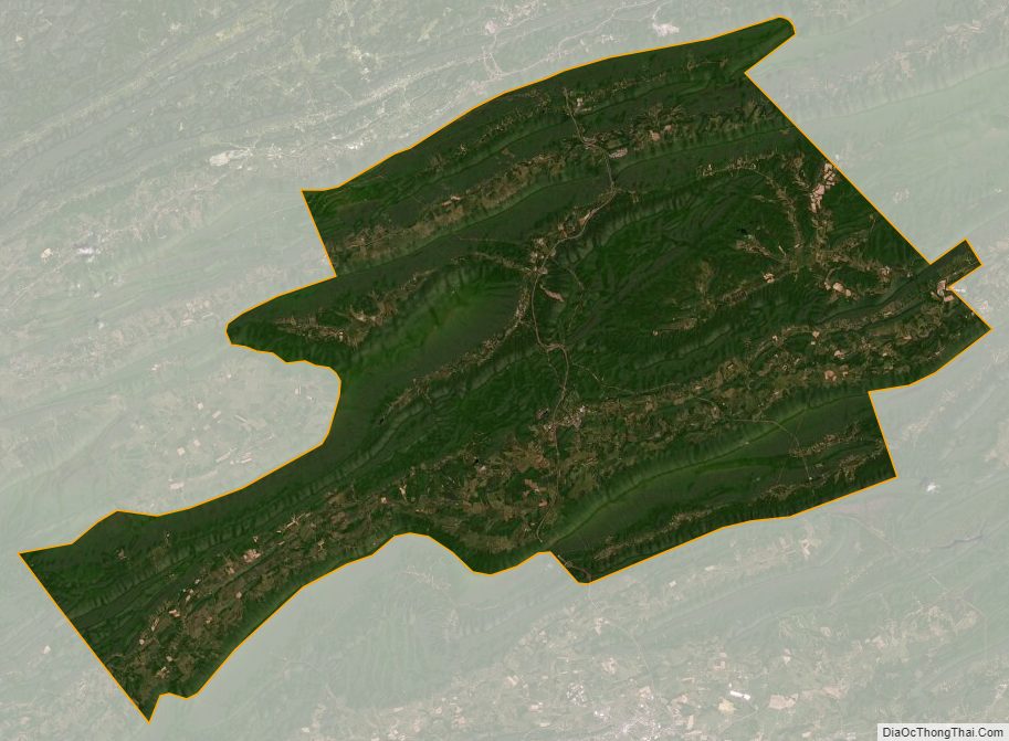
Bland County Satellite Map
Bland County Outline Map