Mercer County is a county on the southeastern border of the U.S. state of West Virginia. At the 2020 census, the population was 59,664. Its county seat is Princeton. The county was originally established in the State of Virginia by act of its General Assembly on March 17, 1837, using lands taken from Giles and Tazewell counties.
Mercer County is part of the Bluefield, WV-VA Micropolitan Statistical Area.
| Name: | Mercer County |
|---|---|
| FIPS code: | 54-055 |
| State: | West Virginia |
| Founded: | March 17, 1837 |
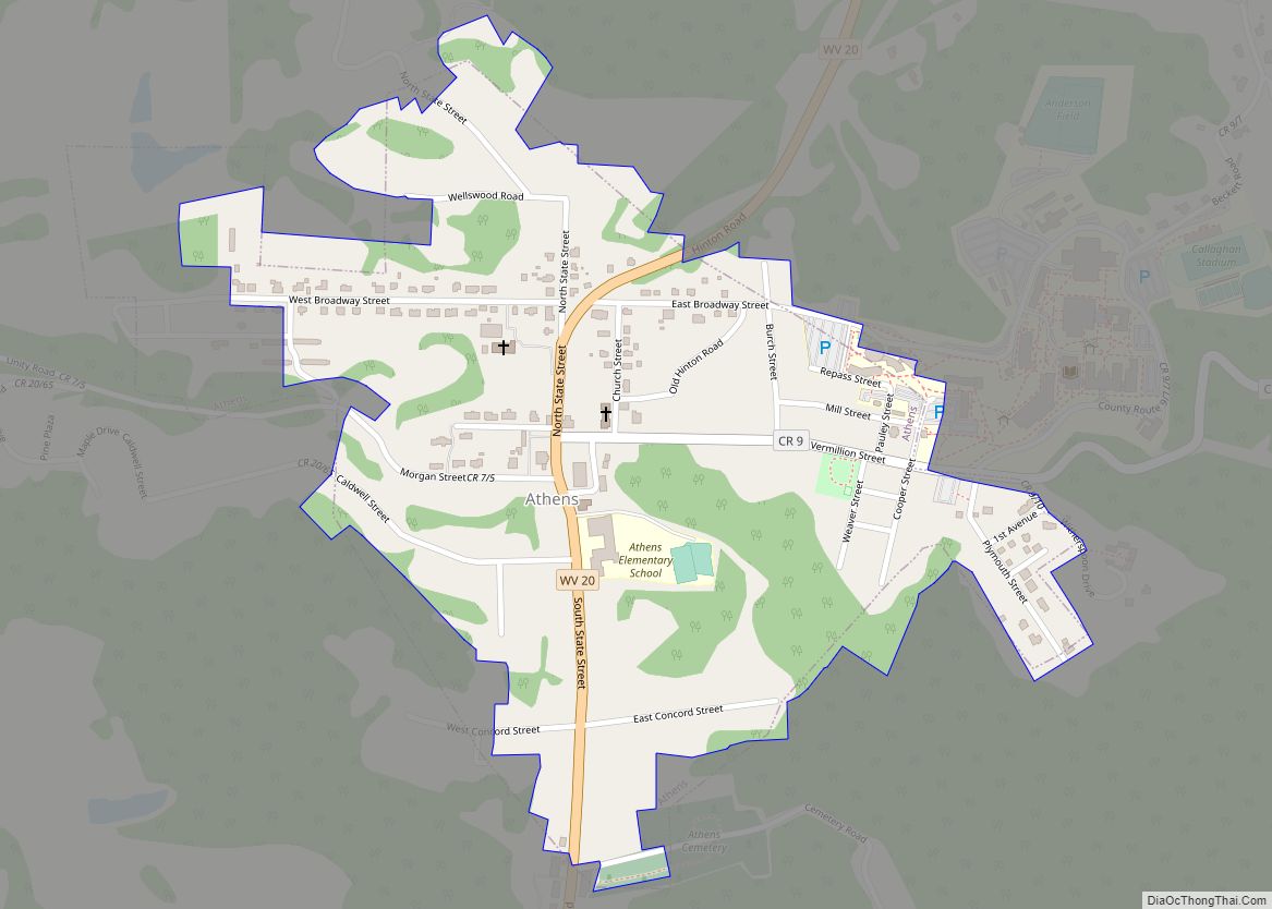
| Seat: | Princeton |
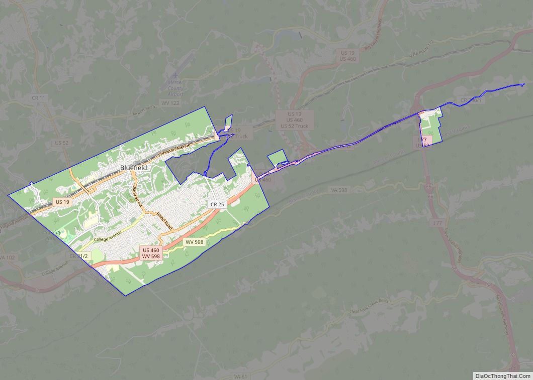
| Largest town: | Bluefield |
| Total Area: | 421 sq mi (1,090 km²) |
| Land Area: | 419 sq mi (1,090 km²) |
| Total Population: | 59,664 |
| Population Density: | 140/sq mi (55/km²) |
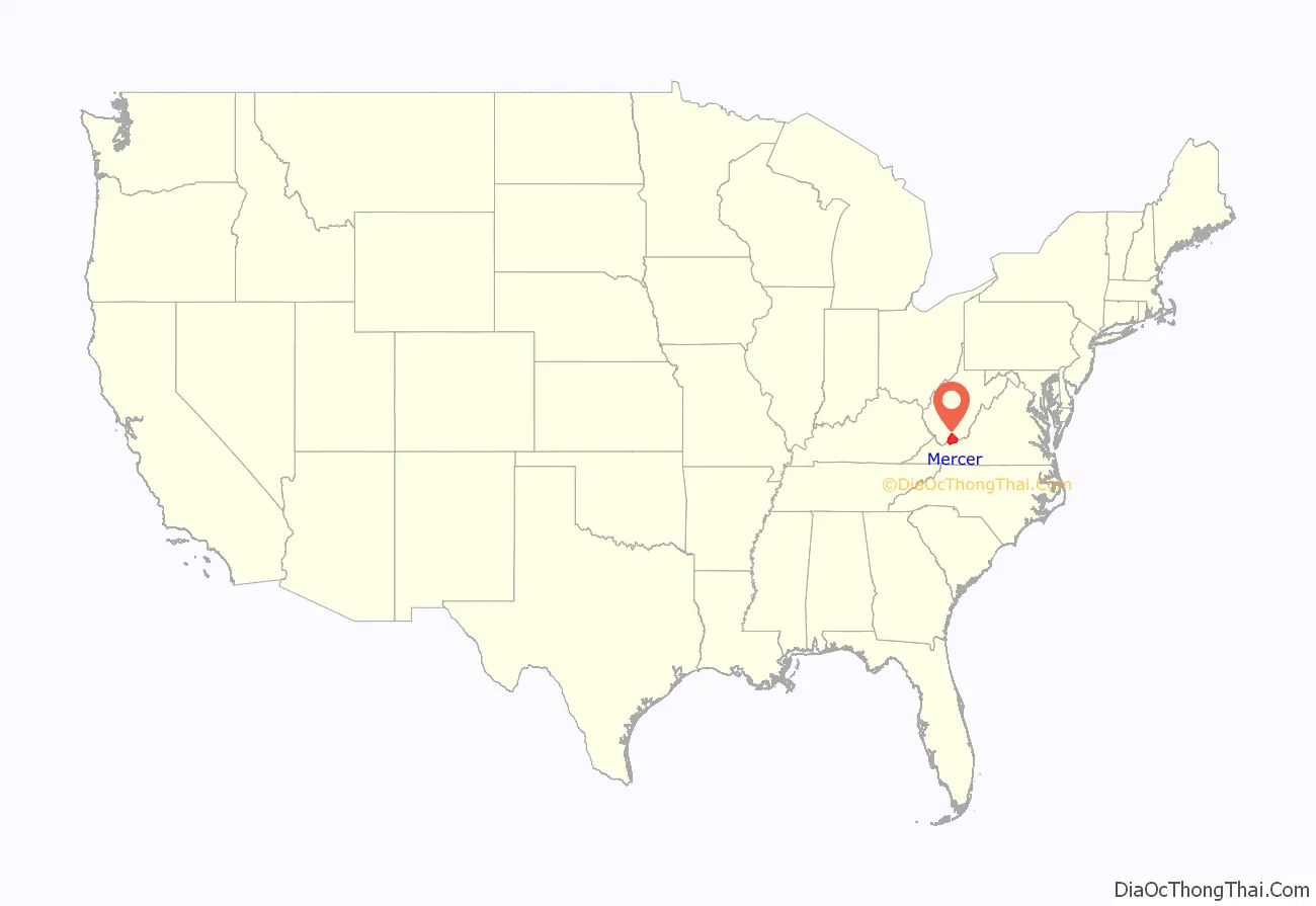
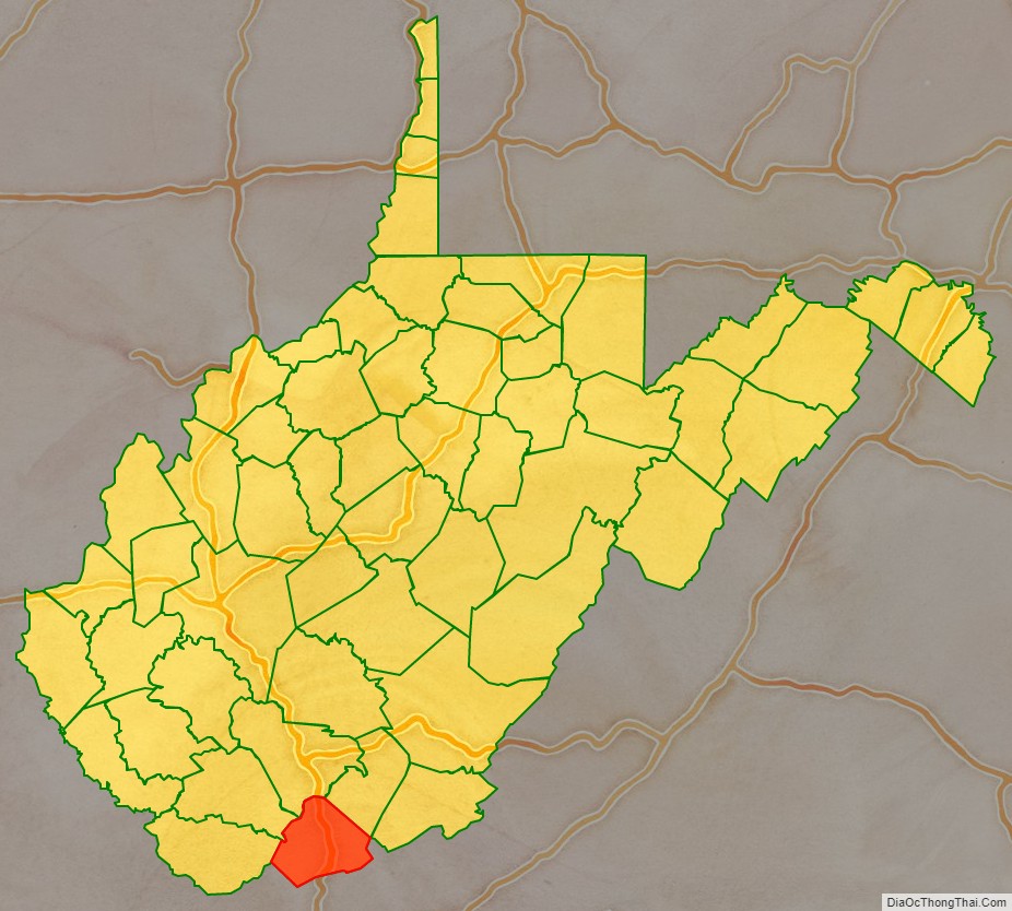
Mercer County location map. Where is Mercer County?
History
- Battle of Clark’s House (1862)
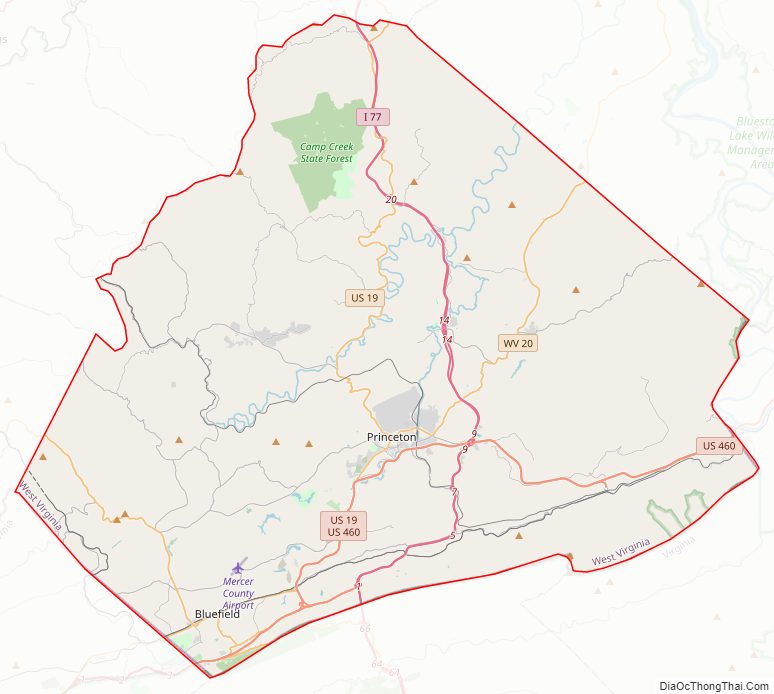
Mercer County Road Map
Geography
According to the United States Census Bureau, the county has a total area of 421 square miles (1,090 km), of which 419 square miles (1,090 km) is land and 1.7 square miles (4.4 km) (0.4%) is water.
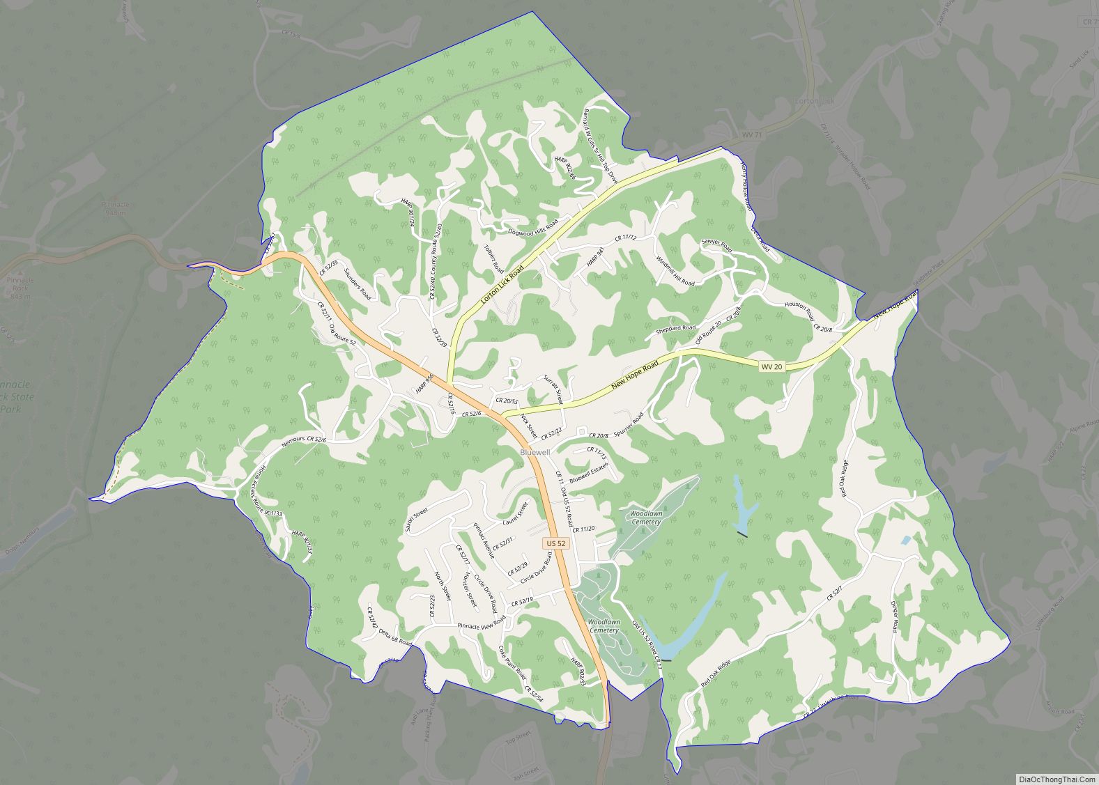
In 1863, West Virginia’s counties were divided into civil townships, with the intention of encouraging local government. This proved impractical in the heavily rural state, and in 1872 the townships were converted into magisterial districts. Mercer County was divided into five districts: Beaver Pond, East River, Jumping Branch, Plymouth, and Rock. In the 1970s, Mercer County’s five historic districts were consolidated into three new magisterial districts: District 1, District 2, and District 3. The new districts were renamed “District I”, “District II” and “District III” during the 1980s.
Major highways
The West Virginia Turnpike, now part of Interstate 77, begins in Princeton.
Adjacent counties
- Raleigh County (north)
- Summers County (northeast)
- Giles County, Virginia (east)
- Bland County, Virginia (south)
- Tazewell County, Virginia (southwest)
- McDowell County (west)
- Wyoming County (northwest)
National protected area
- Bluestone National Scenic River (part)
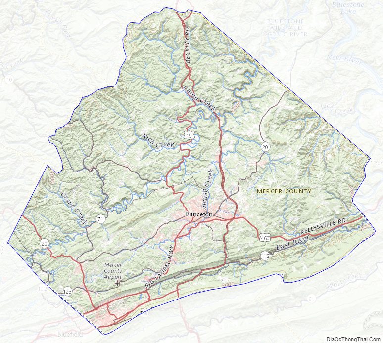
Mercer County Topographic Map
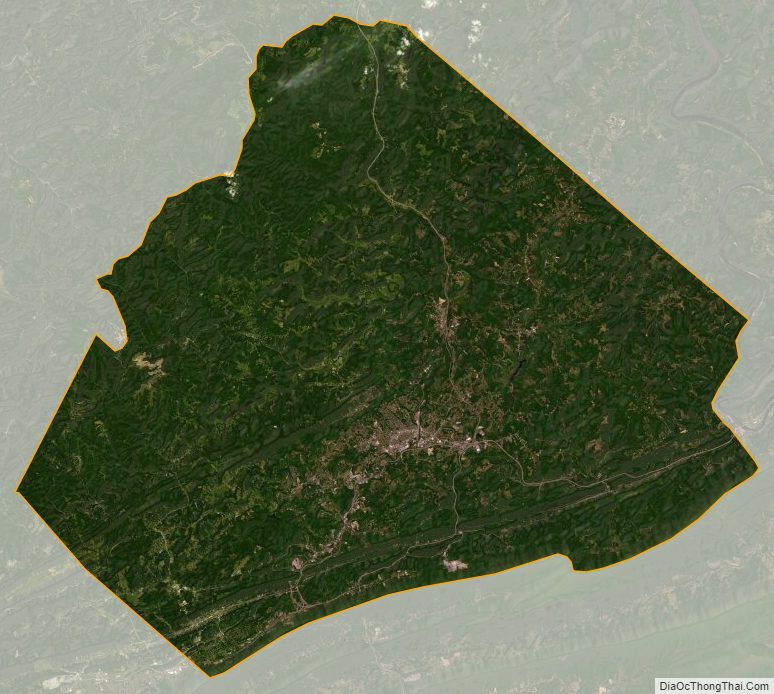
Mercer County Satellite Map
Mercer County Outline Map