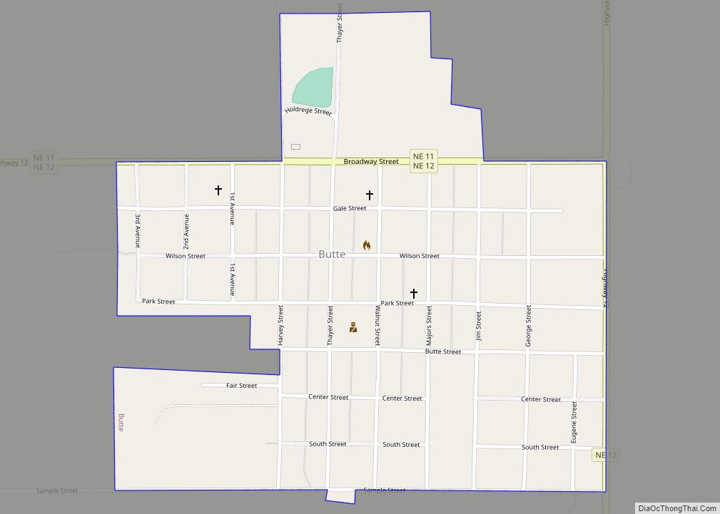
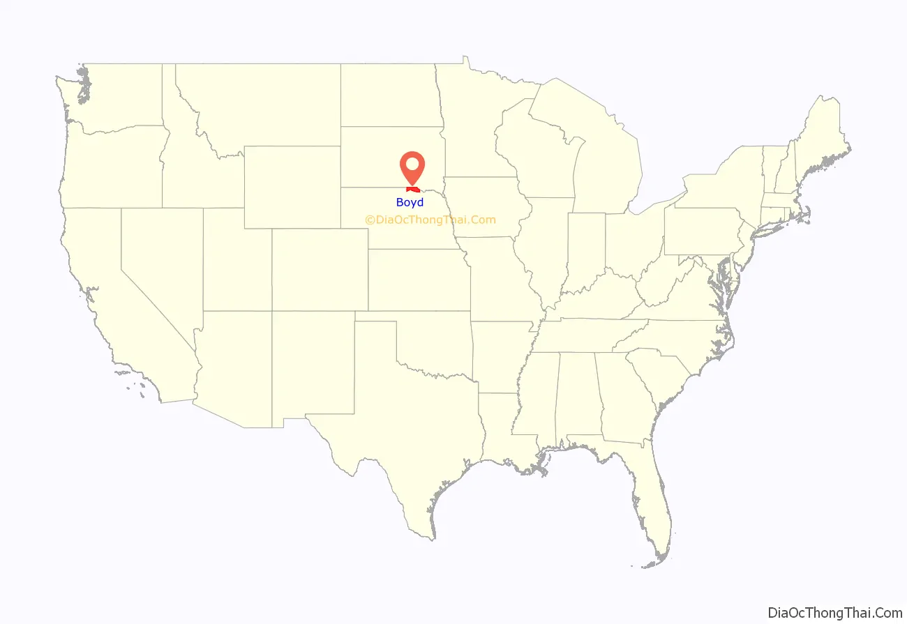
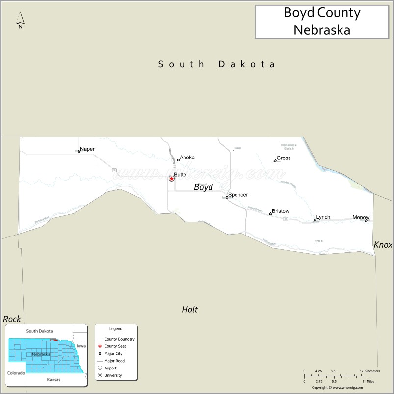
Boyd County is a county in the U.S. state of Nebraska. As of the 2010 United States Census, the population was 2,099. Its county seat is Butte. The county was formed in 1891 and named after James E. Boyd, the governor of Nebraska at the time.
In the Nebraska license plate system, Boyd County is represented by the prefix 63, as it had the 63rd-largest number of vehicles registered in the county when the license plate system was established in 1922.
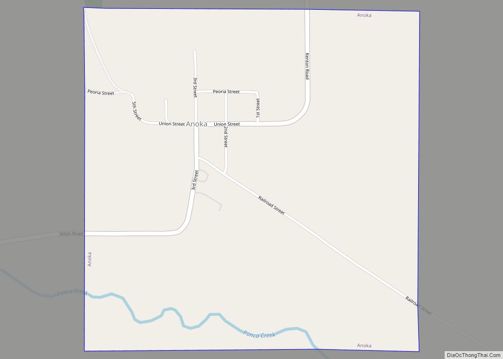
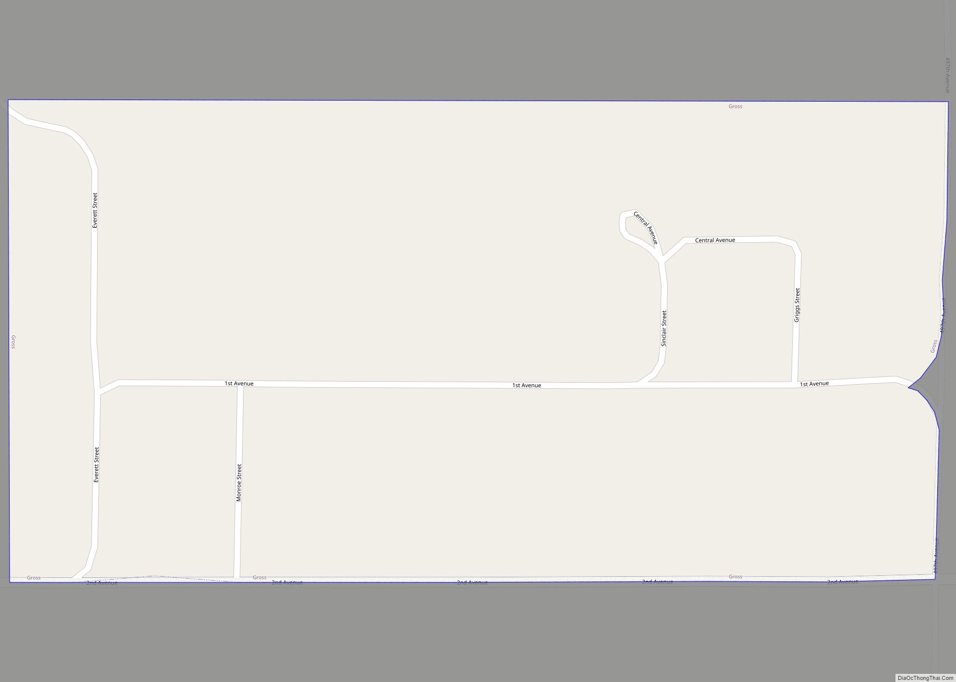
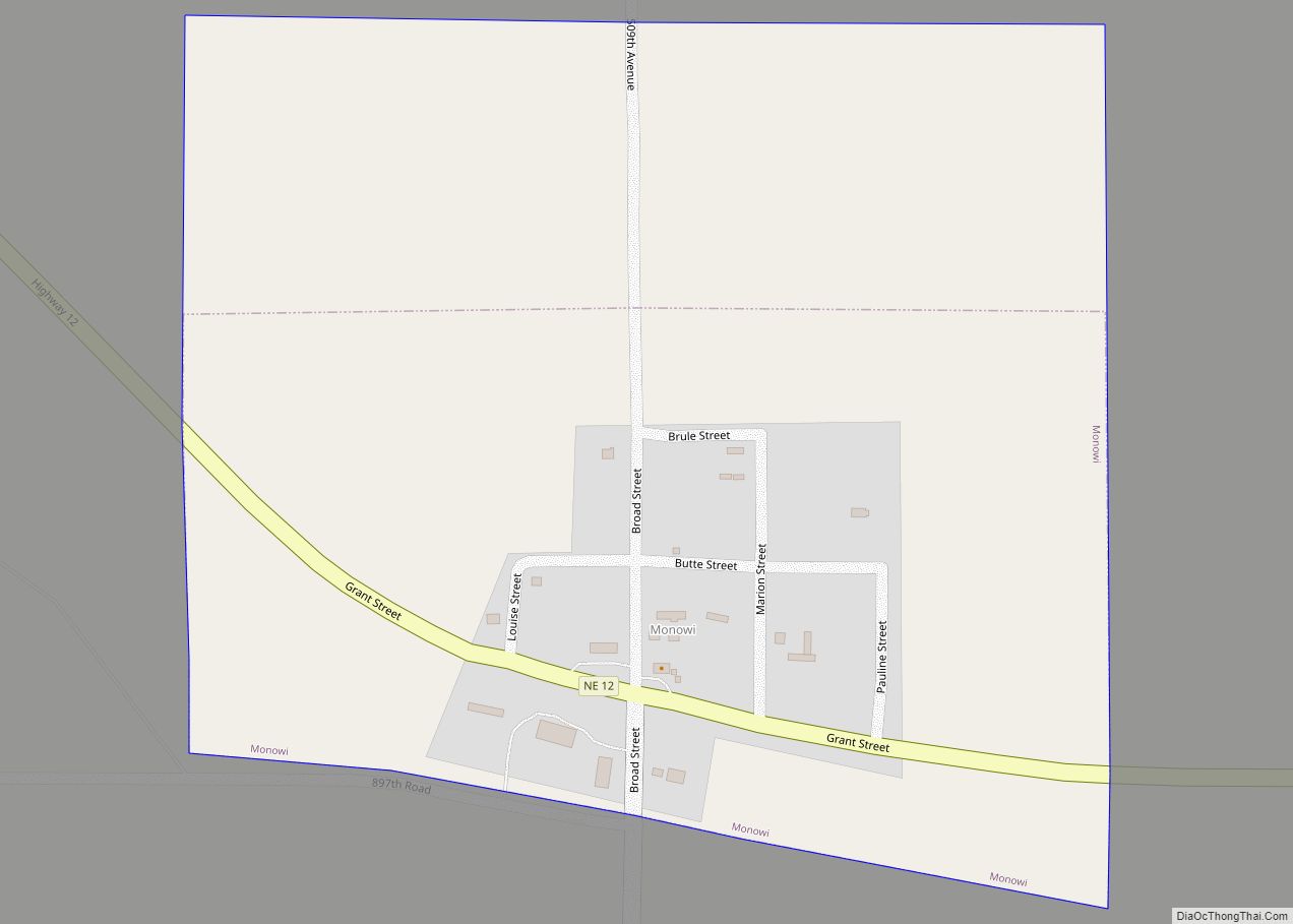
In the 2010 United States Census, three incorporated villages had populations of fewer than 10 people: Anoka, population 6, Gross, population 2, and Monowi, population 1. Monowi was the only incorporated city in the United States with only one resident at the 2010 census.
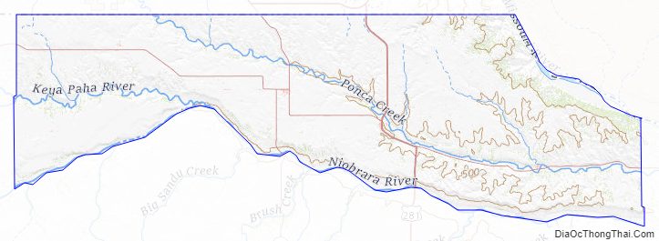
All land north of the Keya Paha River (which includes most of Boyd County and a smaller portion of neighboring Keya Paha County) was not originally part of Nebraska at the time of statehood, but was transferred from Dakota Territory in 1882.
| Name: | Boyd County |
|---|---|
| FIPS code: | 31-015 |
| State: | Nebraska |
| Founded: | March 20, 1891 |
| Named for: | James E. Boyd |
| Seat: | Butte |
| Total Area: | 545 sq mi (1,410 km²) |
| Land Area: | 540 sq mi (1,400 km²) |
| Total Population: | 1,789 |
| Population Density: | 3.66/sq mi (1.41/km²) |
| Time zone: | UTC−6 (Central) |
| Summer Time Zone (DST): | UTC−5 (CDT) |
| Website: | www.boydcounty.ne.gov |
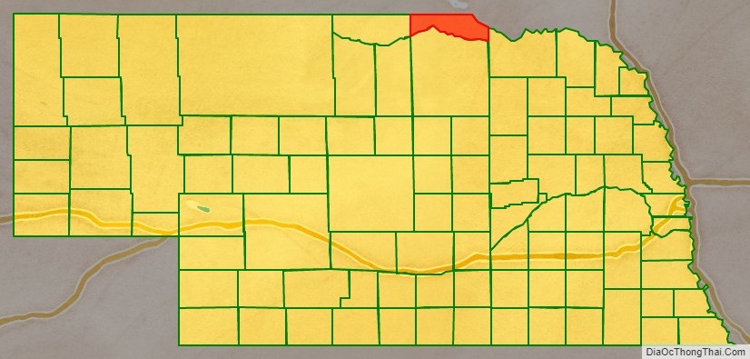
Boyd County location map. Where is Boyd County?
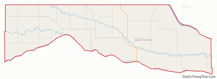
Boyd County Road Map
Geography
According to the US Census Bureau, the county has an area of 545 square miles (1,410 km), of which 540 square miles (1,400 km) is land and 4.6 square miles (12 km) (0.8%) is water.
Boyd County is in Nebraska’s Outback region.
Major highways
- U.S. Highway 281
- Nebraska Highway 11
- Nebraska Highway 12
Adjacent counties
- Charles Mix County, South Dakota – northeast
- Knox County – southeast
- Holt County – south
- Rock County – southwest
- Keya Paha County – west
- Gregory County, South Dakota – northwest
National protected areas
- Karl E. Mundt National Wildlife Refuge (part)
- Missouri National Recreational River (part)
Boyd County Topographic Map
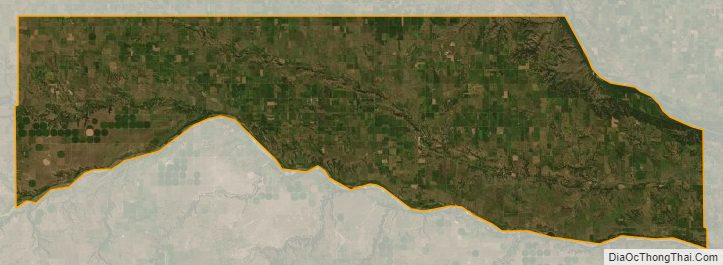
Boyd County Satellite Map
Boyd County Outline Map