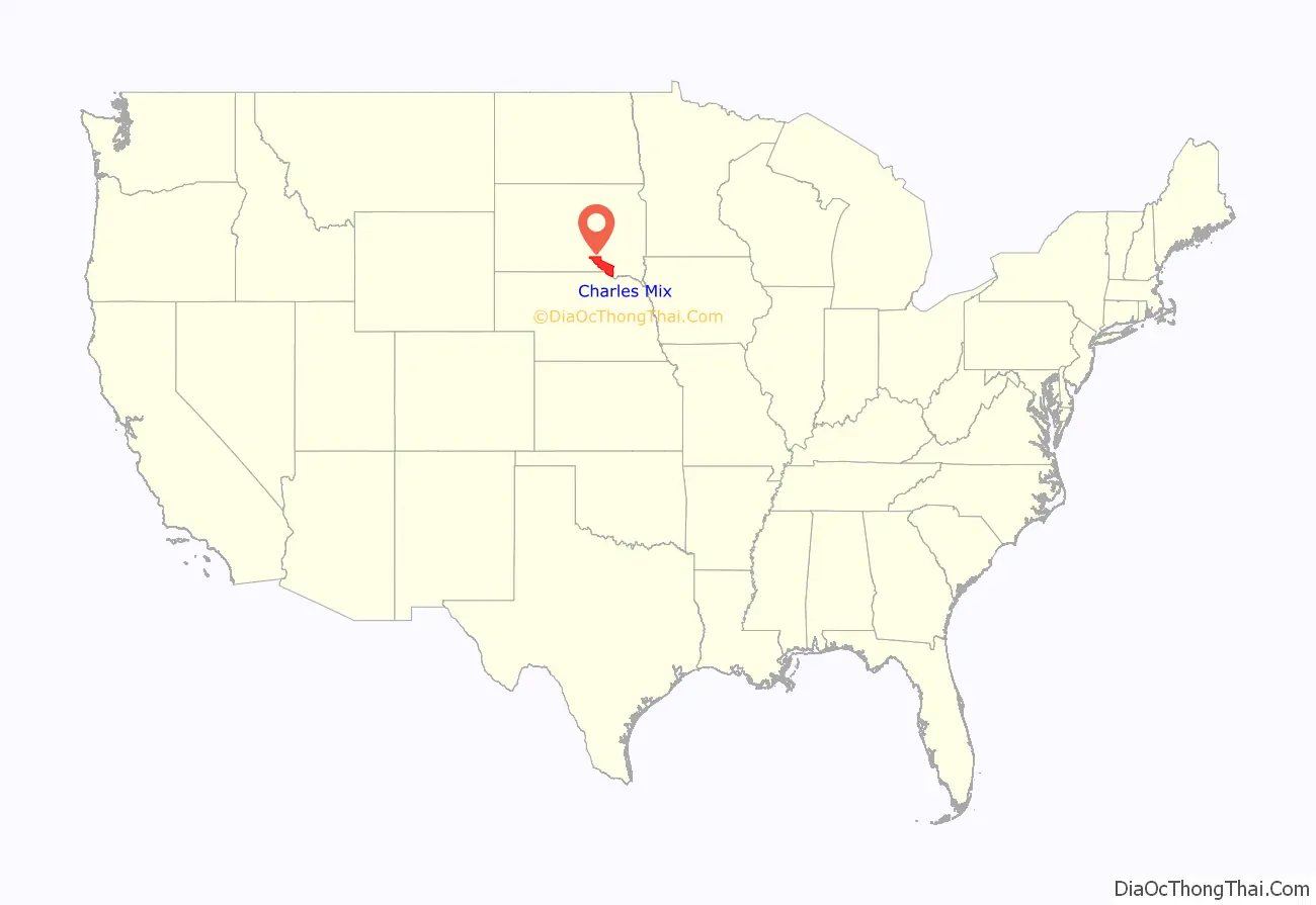
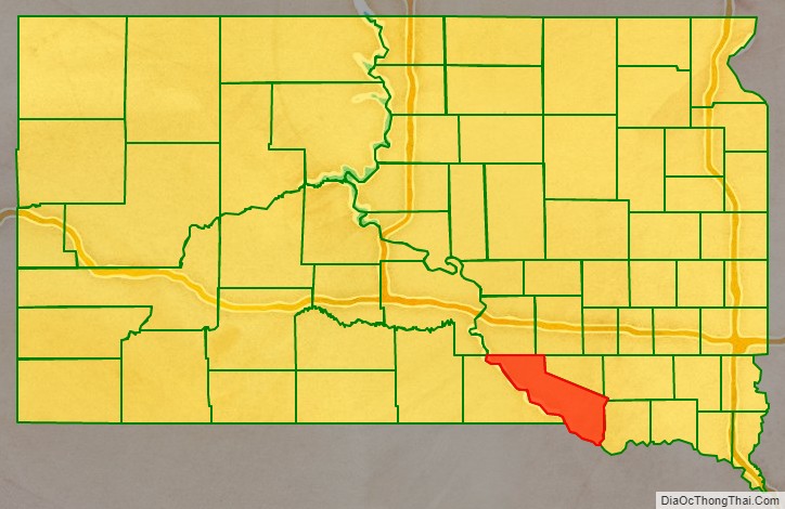
Charles Mix County is a county in the U.S. state of South Dakota. As of the 2020 United States Census, the population was 9,373. Its county seat is Lake Andes. The county was created in 1862 and organized in 1879. It was named for Charles Eli Mix, an official of the Bureau of Indian Affairs influential in signing a peace treaty with the local Lakota Indian tribes. The easternmost approximately 60% of the county comprises the Yankton Indian Reservation.
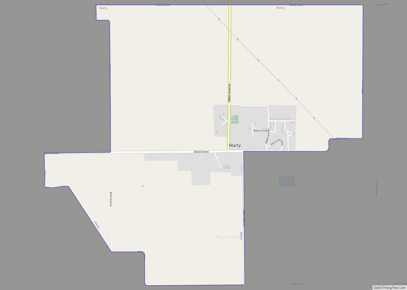
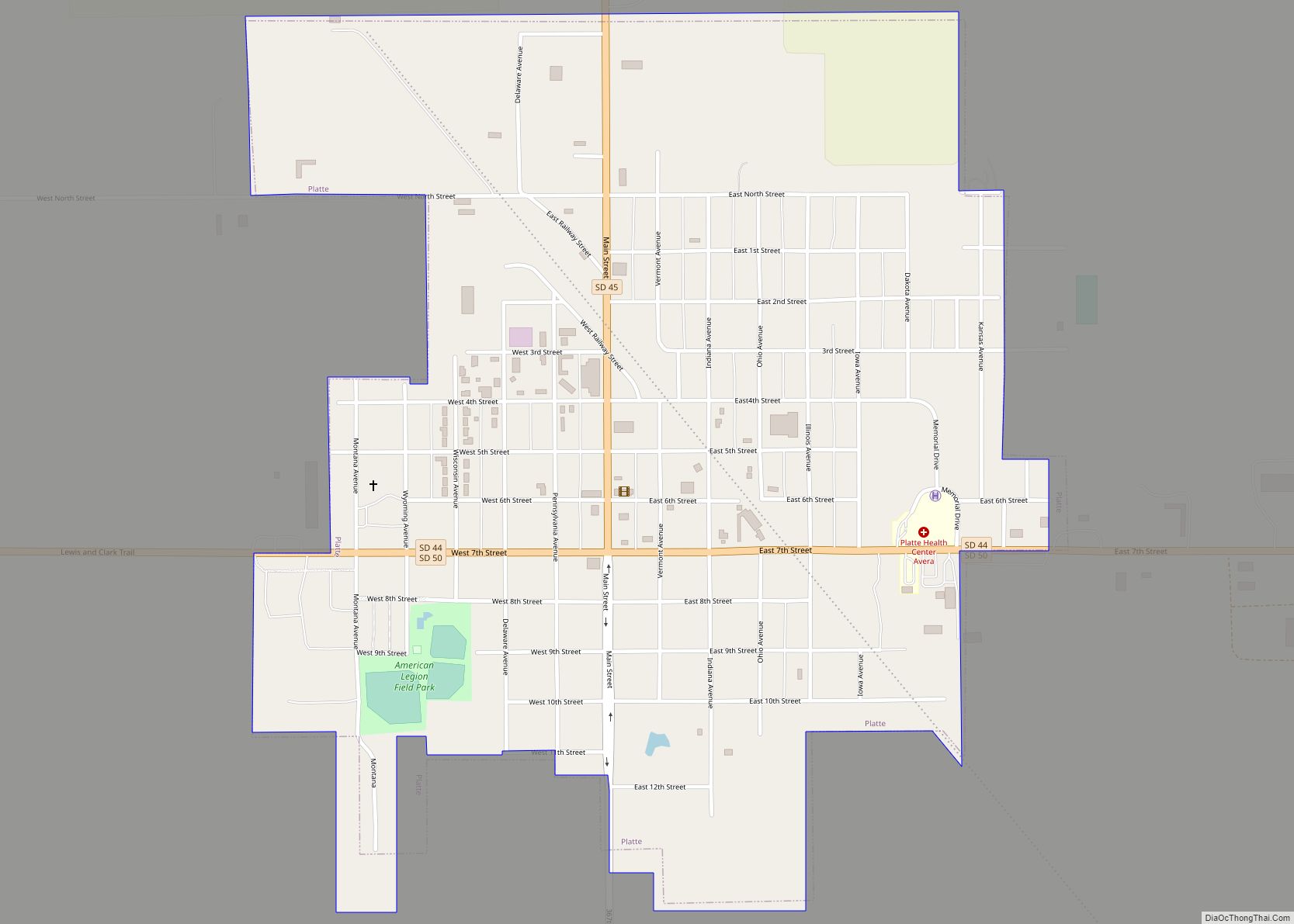
The Papineau Trading Post, whose building is now in Geddes, South Dakota, was an early county seat. Geddes tried to wrest the county seat from Wheeler in 1900, 1904, and 1908. The Charles Mix County Courthouse in Lake Andes was built in 1918.
| Name: | Charles Mix County |
|---|---|
| FIPS code: | 46-023 |
| State: | South Dakota |
| Founded: | 1862 |
| Named for: | Charles Eli Mix |
| Seat: | Lake Andes |
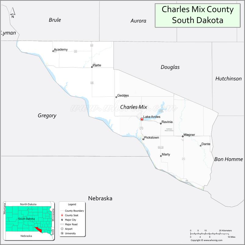
| Largest city: | Wagner |
| Total Area: | 1,150 sq mi (3,000 km²) |
| Land Area: | 1,097 sq mi (2,840 km²) |
| Total Population: | 9,373 |
| Population Density: | 8.2/sq mi (3.1/km²) |
| Time zone: | UTC−6 (Central) |
| Summer Time Zone (DST): | UTC−5 (CDT) |
| Website: | charlesmix.sdcounties.org |
Charles Mix County location map. Where is Charles Mix County?
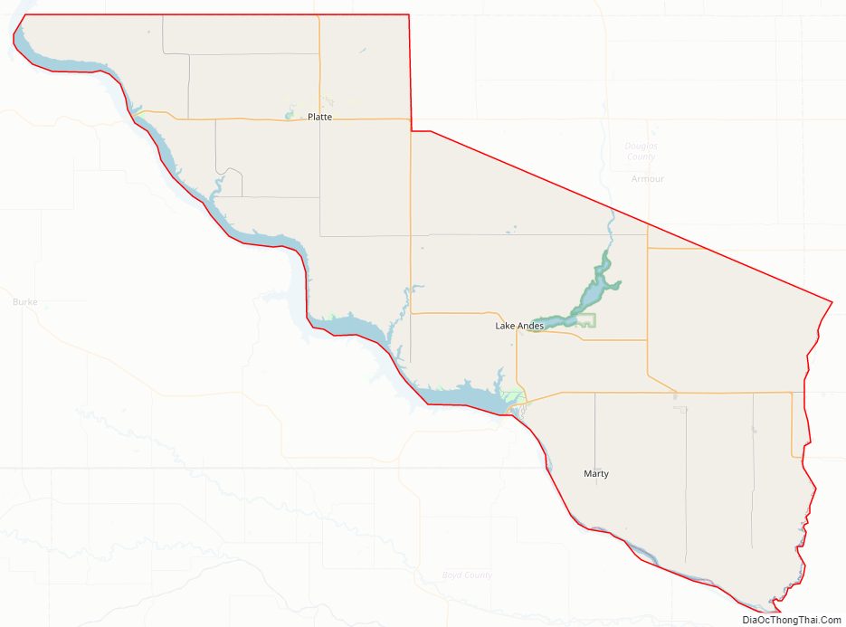
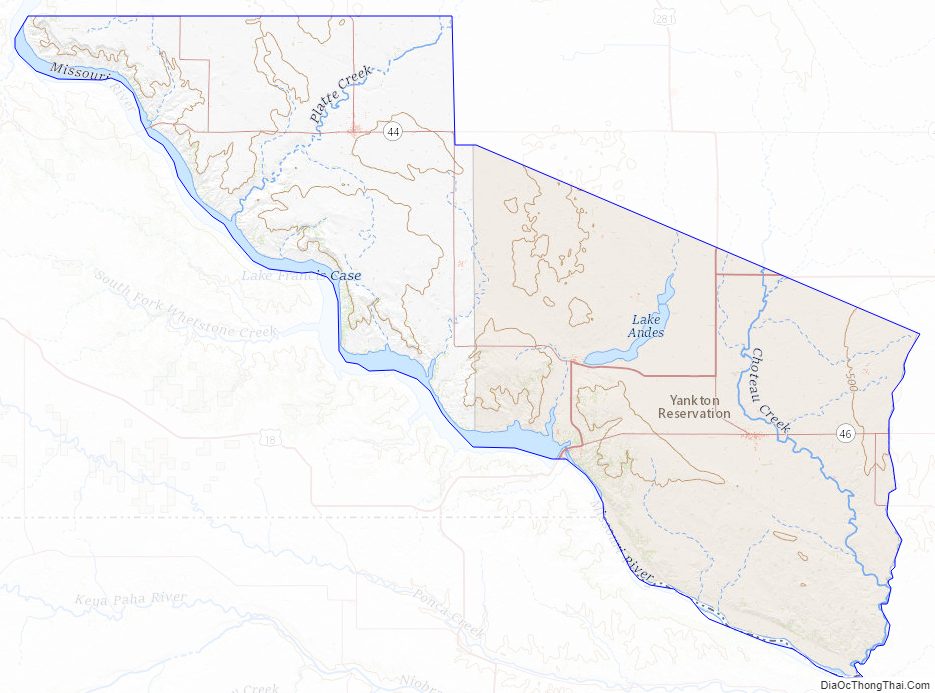
Charles Mix County Road Map
Geography
Charles Mix County lies on the south line of South Dakota. Its south boundary line abuts the north boundary line of the state of Nebraska (across the Missouri River, which flows southeastward along the county’s south line). A smaller drainage flows south-southwesterly to the river along the east county line, separating it from Bon Homme County. The county terrain consists of rolling hills, mostly dedicated to agriculture. The terrain drops off into the river basin along the county’s southwest side, but otherwise generally slopes to the southeast.
The county has a total area of 1,150 square miles (3,000 km), of which 1,097 square miles (2,840 km) is land and 53 square miles (140 km) (4.6%) is water.
Major highways
- U.S. Highway 18
- U.S. Highway 281
- South Dakota Highway 44
- South Dakota Highway 45
- South Dakota Highway 46
- South Dakota Highway 50
- South Dakota Highway 1804
Adjacent counties
- Brule County – northwest
- Aurora County – north
- Douglas County – northeast
- Hutchinson County – northeast
- Bon Homme County – east
- Knox County, Nebraska – southeast
- Boyd County, Nebraska – southwest
- Gregory County – west
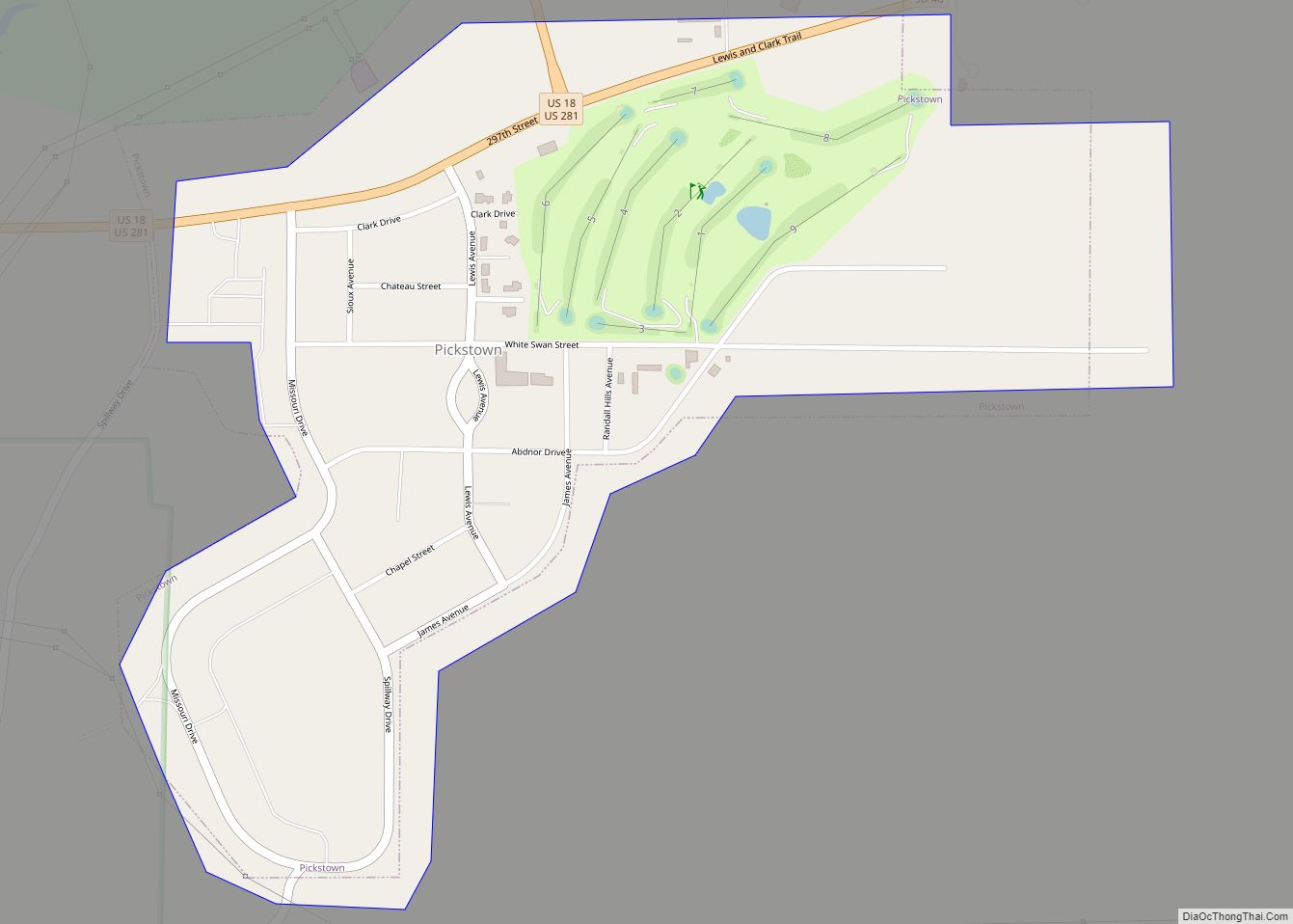
Protected areas
- Academy Lake State Game Production Area
- Bovee Lake State Game Production Area
- Central Charles Mix State Game Production Area
- Central Platte State Game Production Area
- Dante Lake State Game Production Area
- Fuchs Waterfowl Production Area
- Gray Area State Game Production Area
- Lake Andes National Wildlife Refuge
- Lake Andes State Game Production Area
- Lake George State Game Production Area
- Missouri National Recreational River (part)
- North Point State Recreation Area
- North Wheeler State Game Production Area
- North Wheeler State Recreation Area
- Paulson State Game Production Area
- Pease Creek State Recreation Area
- Platte Creek State Recreation Area
- Raysby Waterfowl Production Area
- Red Lake State Game Production Area
- Sherman Waterfowl Production Area
- Snake Creek State Recreation Area
- Spillway State Lakeside Use Area
- Trout Waterfowl Production Area
- Tucek Waterfowl Production Area
- Turgeon State Game Production Area
- Van Zee Waterfowl Production Area
- Vanderpol Waterfowl Production Area
- West Platte State Game Production Area
- White Swan State Game Production Area
- White Swan State Lakeside Use Area
- Williamson state Game Production Area
Major lakes
- Academy Lake
- Carroll Lake
- Lake Francis Case (part)
- Goose Lake
- Lake Andes
- Lake Platte
- White Lake
Charles Mix County Topographic Map
Charles Mix County Satellite Map
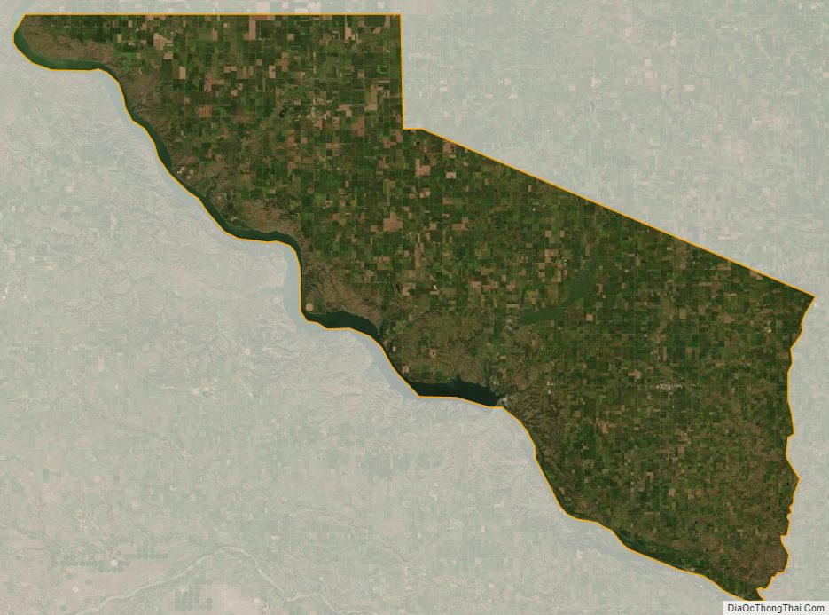
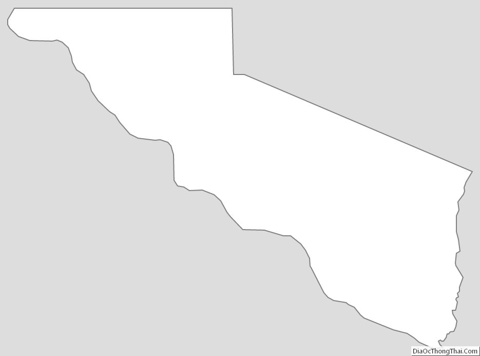
Charles Mix County Outline Map