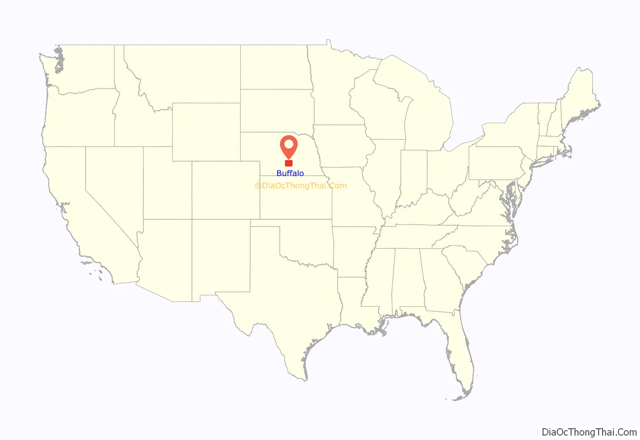
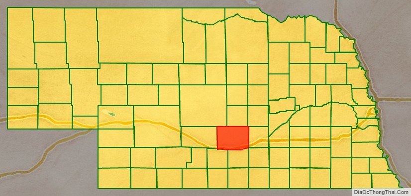
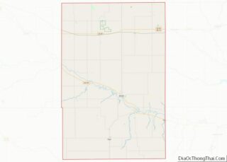
Buffalo County is a county located in the U.S. state of Nebraska in the Midwestern United States. As of the 2010 United States Census, the population was 46,102, making it Nebraska’s fifth-most populous of the 93 counties. Its county seat is Kearney. The county was created in 1855 and was organized in 1870. It was named after the once-prevalent buffalo herds of the Great Plains.
Buffalo County is part of the Kearney Micropolitan Statistical Area.
In the Nebraska license plate system, Buffalo County is represented by the prefix 9; when the license plate system was established in 1922, the county ranked ninth in number of registered vehicles.
| Name: | Buffalo County |
|---|---|
| FIPS code: | 31-019 |
| State: | Nebraska |
| Founded: | 1855 |
| Named for: | American bison |
| Seat: | Kearney |
| Largest city: | Kearney |
| Total Area: | 975 sq mi (2,530 km²) |
| Land Area: | 968 sq mi (2,510 km²) |
| Total Population: | 50,339 |
| Population Density: | 51.4/sq mi (19.8/km²) |
| Time zone: | UTC−6 (Central) |
| Summer Time Zone (DST): | UTC−5 (CDT) |
| Website: | www.buffalogov.org |
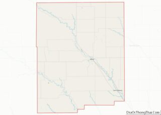
Buffalo County location map. Where is Buffalo County?
History
The Union Pacific Railroad came to the area in 1866; with additional settlers, the need to establish government was realized. Patrick Walsh, Martin Slattery, and a Sergeant Cody petitioned the governor to organize Buffalo County in 1869. Wood River Centre (Shelton) was selected through election as county seat. Within a year, the seat was moved to Gibbon. In 1874, voters selected Kearney as the seat.
During the late 19th century and early 20th century, the Watson Ranch, existed in the county. The 8,000 acre ranch extended from the Platte River Valley on the south, to Nebraska’s rolling hills on the north, to a point five miles west of downtown Kearney.
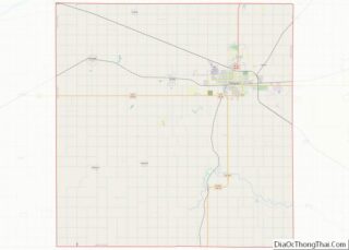
Buffalo County Road Map
Geography
According to the US Census Bureau, the county has an area of 975 square miles (2,530 km), of which 968 square miles (2,510 km) is land and 7.3 square miles (19 km) (0.7%) is water.
Major highways
- Interstate 80
- U.S. Highway 30
- U.S. Highway 183
- Nebraska Highway 2
- Nebraska Highway 10
- Nebraska Highway 40
- Nebraska Highway 44
- Nebraska Highway 68
Protected area
- Fort Kearny State Historical Park
Adjacent counties
- Hall County – east
- Adams County – southeast
- Kearney County – south
- Phelps County – southwest
- Dawson County – west
- Custer County – northwest
- Sherman County –north
- Howard County – northeast
