Callahan County is a county located in the U.S. state of Texas. As of the 2020 census, the population was 13,708. Its county seat is Baird. The county was founded in 1858 and later organized in 1877. It is named for James Hughes Callahan, an American soldier in the Texas Revolution. Callahan County is included in the Abilene, Texas metropolitan statistical area.
| Name: | Callahan County |
|---|---|
| FIPS code: | 48-059 |
| State: | Texas |
| Founded: | 1877 |
| Seat: | Baird |
| Largest city: | Clyde |
| Total Area: | 901.3 sq mi (2,334 km²) |
| Land Area: | 899.4 sq mi (2,329 km²) |
| Total Population: | 13,708 |
| Population Density: | 15/sq mi (5.9/km²) |
| Time zone: | UTC−6 (Central) |
| Summer Time Zone (DST): | UTC−5 (CDT) |
| Website: | www.co.callahan.tx.us |
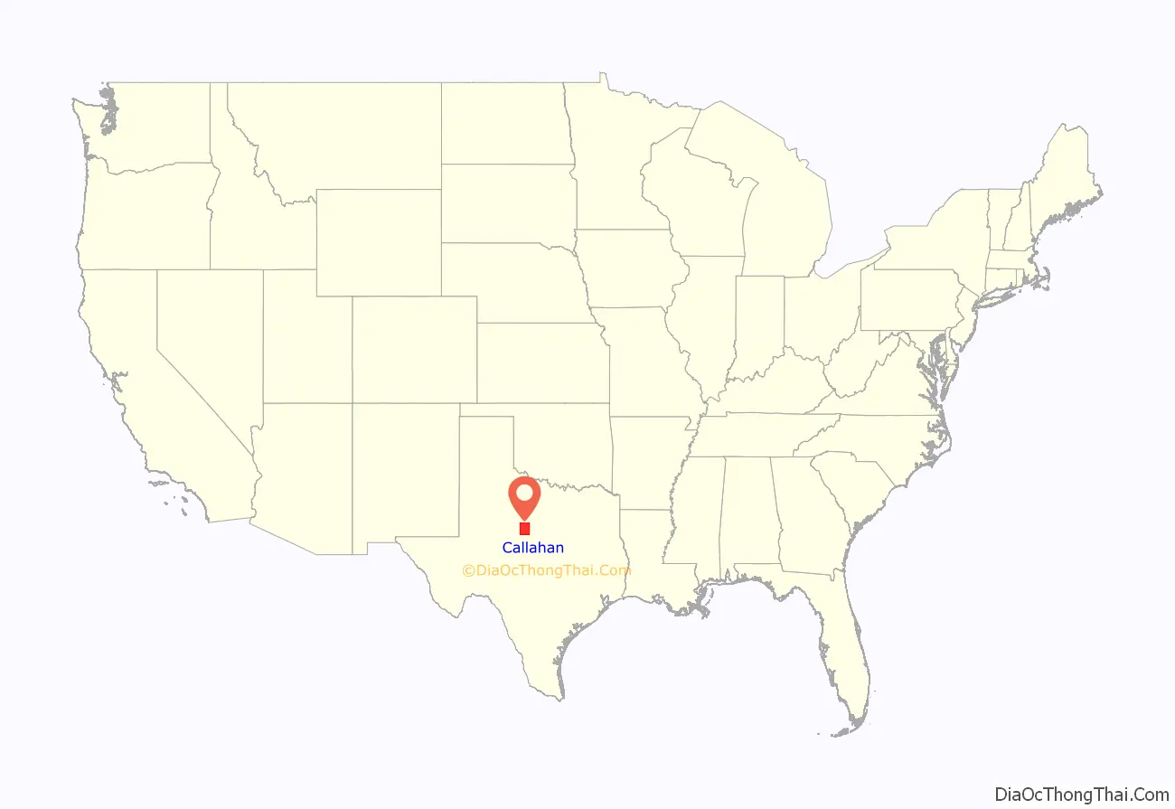
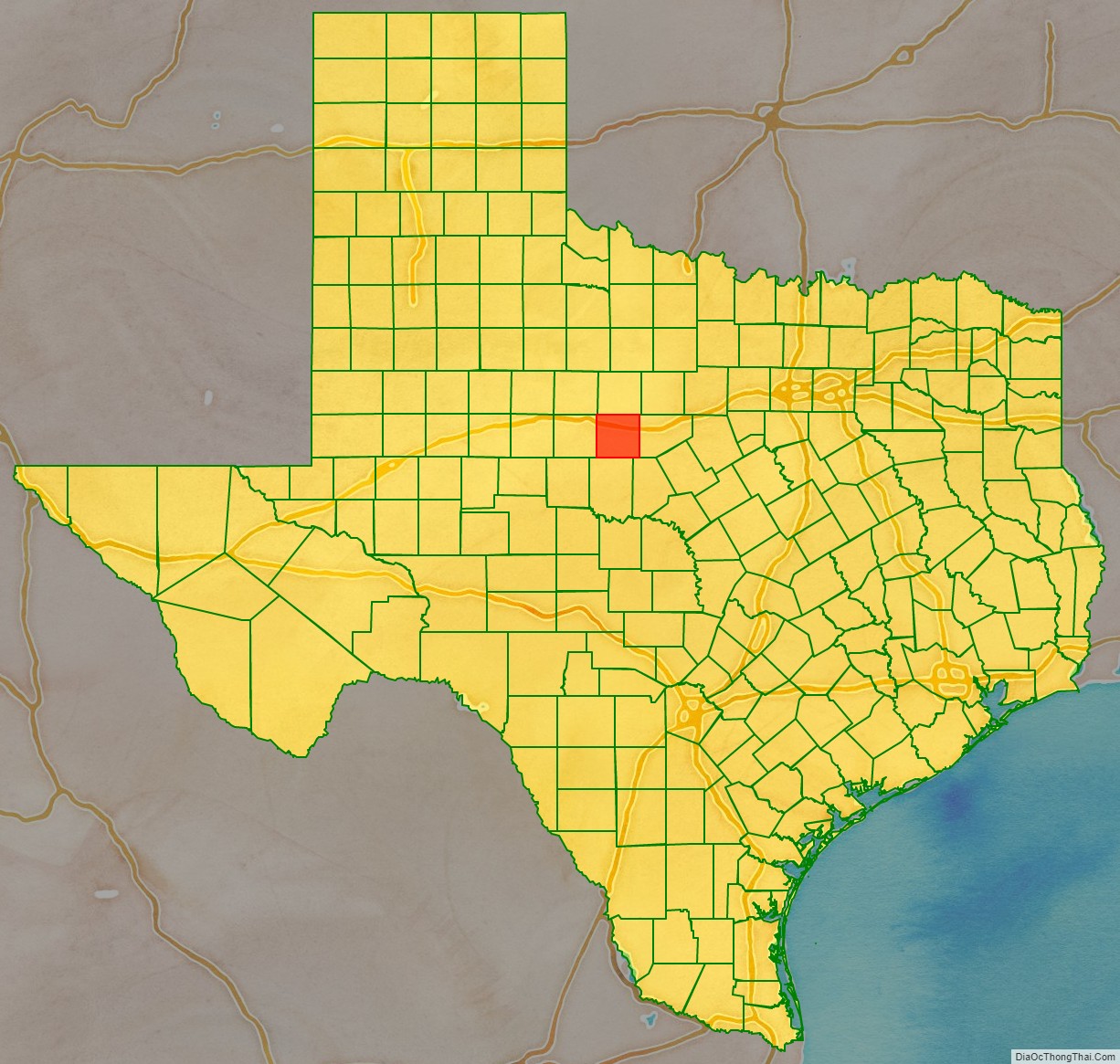
Callahan County location map. Where is Callahan County?
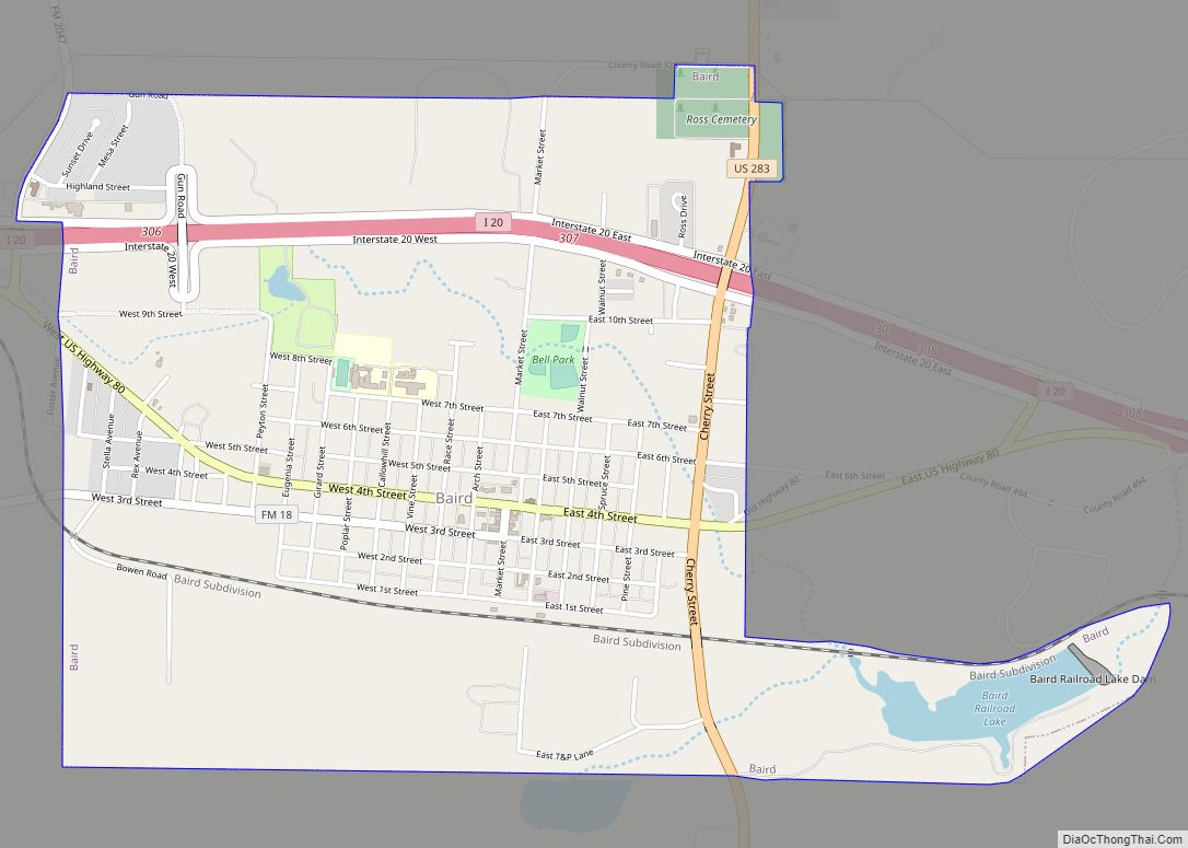
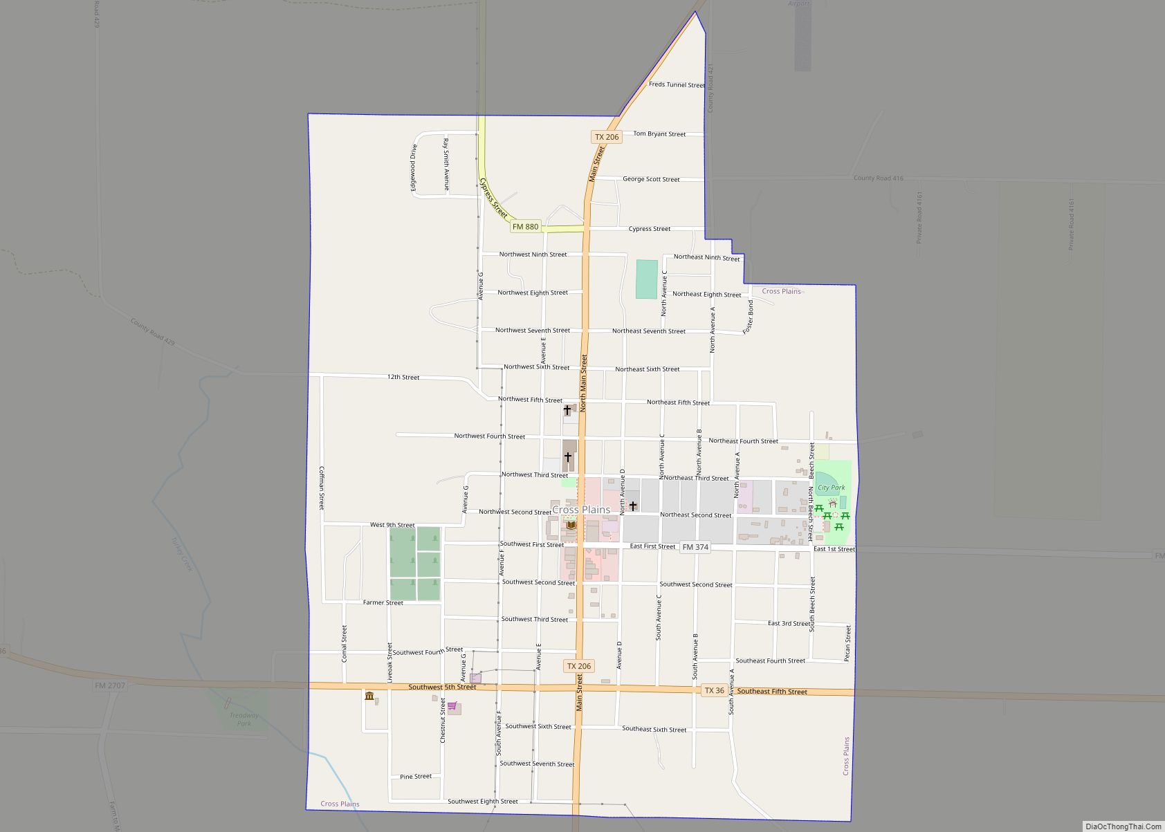
Callahan County Road Map
Geography
According to the U.S. Census Bureau, the county has a total area of 901 square miles (2,330 km), of which 899 sq mi (2,330 km) are land and 1.9 sq mi (4.9 km) (0.2%) are covered by water.
Callahan Divide is range of hills that extends 26 miles (42 km) from west to southeast through Taylor and Callahan Counties, with highest elevation 2,411 ft (735 m), which together with other elevated areas in the two counties provide advantages in wind energy.
Major highways
- Interstate 20
- U.S. Highway 283
- State Highway 36
- State Highway 206
- State Highway 351
Adjacent counties
- Shackelford County (north)
- Eastland County (east)
- Brown County (southeast)
- Coleman County (south)
- Taylor County (west)
- Jones County (northwest)
