Abilene (/ˈæbɪliːn/ AB-i-leen) is a city in Taylor and Jones County, Texas, United States. Its population was 125,182 at the 2020 census. It is the principal city of the Abilene metropolitan statistical area, which had an estimated population of 169,893, as of 2016. Abilene is home to three Christian universities: Abilene Christian University, McMurry University, and Hardin–Simmons University. It is the county seat of Taylor County. Dyess Air Force Base is located on the west side of the city.
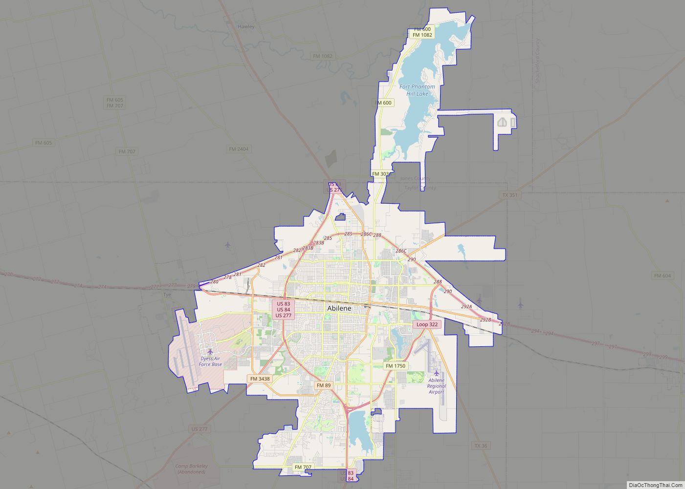
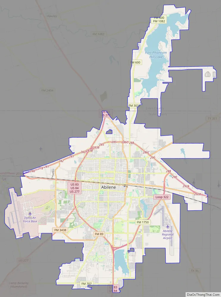
Abilene is located on Interstate 20. I-20 forms a rounded bypass loop along the northern side of the city, between exits 279 on its western edge and 292 on the east. The city is located 150 miles (240 km) west of Fort Worth. Multiple freeways form a loop surrounding the city’s core: I-20 on the north, US 83/84/277 on the west, and Loop 322 to the east. The former Texas and Pacific Railway, now part of the Union Pacific mainline, divides the city into well-established north and south zones. The historic downtown area is on the north side of the railroad, while the growing South Of Downtown Abilene “SODA” district is located on the south side of the tracks.
| Name: | Abilene city |
|---|---|
| LSAD Code: | 25 |
| LSAD Description: | city (suffix) |
| State: | Texas |
| County: | Jones County, Taylor County |
| Elevation: | 1,719 ft (527 m) |
| Land Area: | 106.67 sq mi (276.27 km²) |
| Water Area: | 5.42 sq mi (14.05 km²) |
| Population Density: | 1,157/sq mi (447/km²) |
| ZIP code: | 79601-08 79697-99 |
| Area code: | 325 |
| FIPS code: | 4801000 |
| GNISfeature ID: | 1329173 |
| Website: | abilenetx.com |
Online Interactive Map
Click on ![]() to view map in "full screen" mode.
to view map in "full screen" mode.
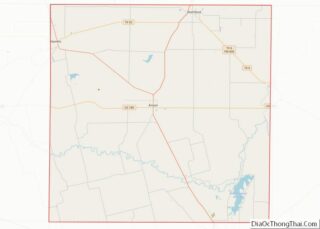
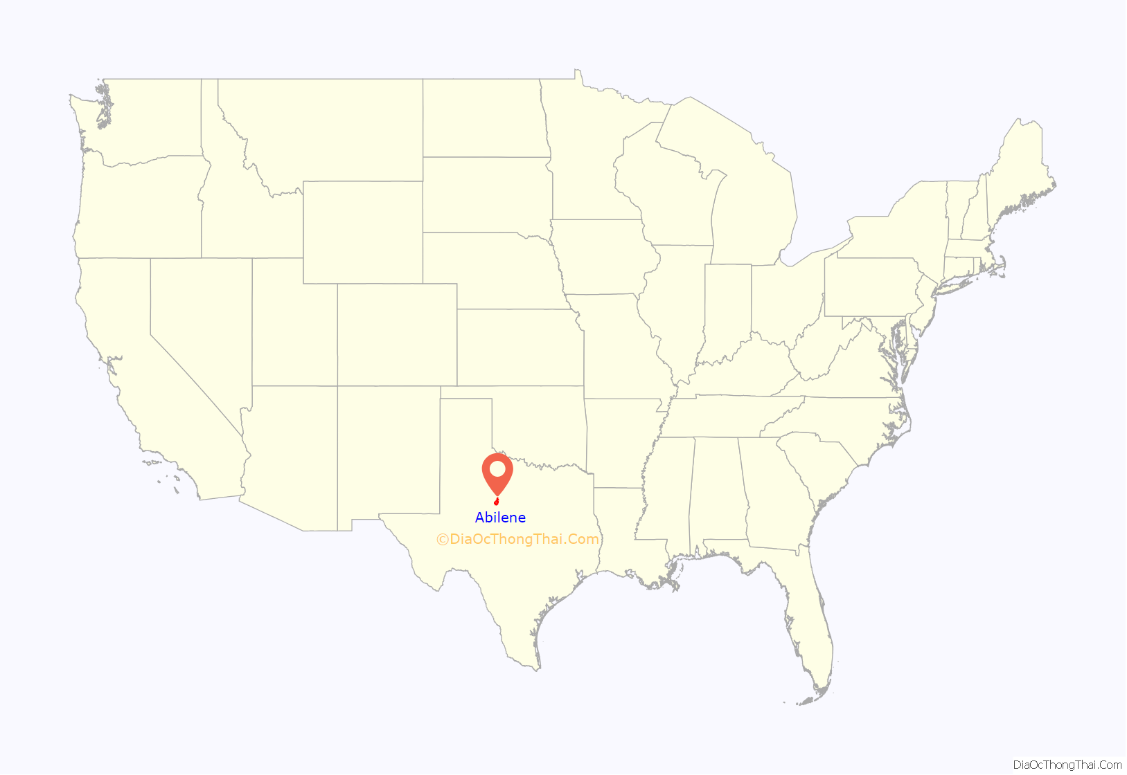
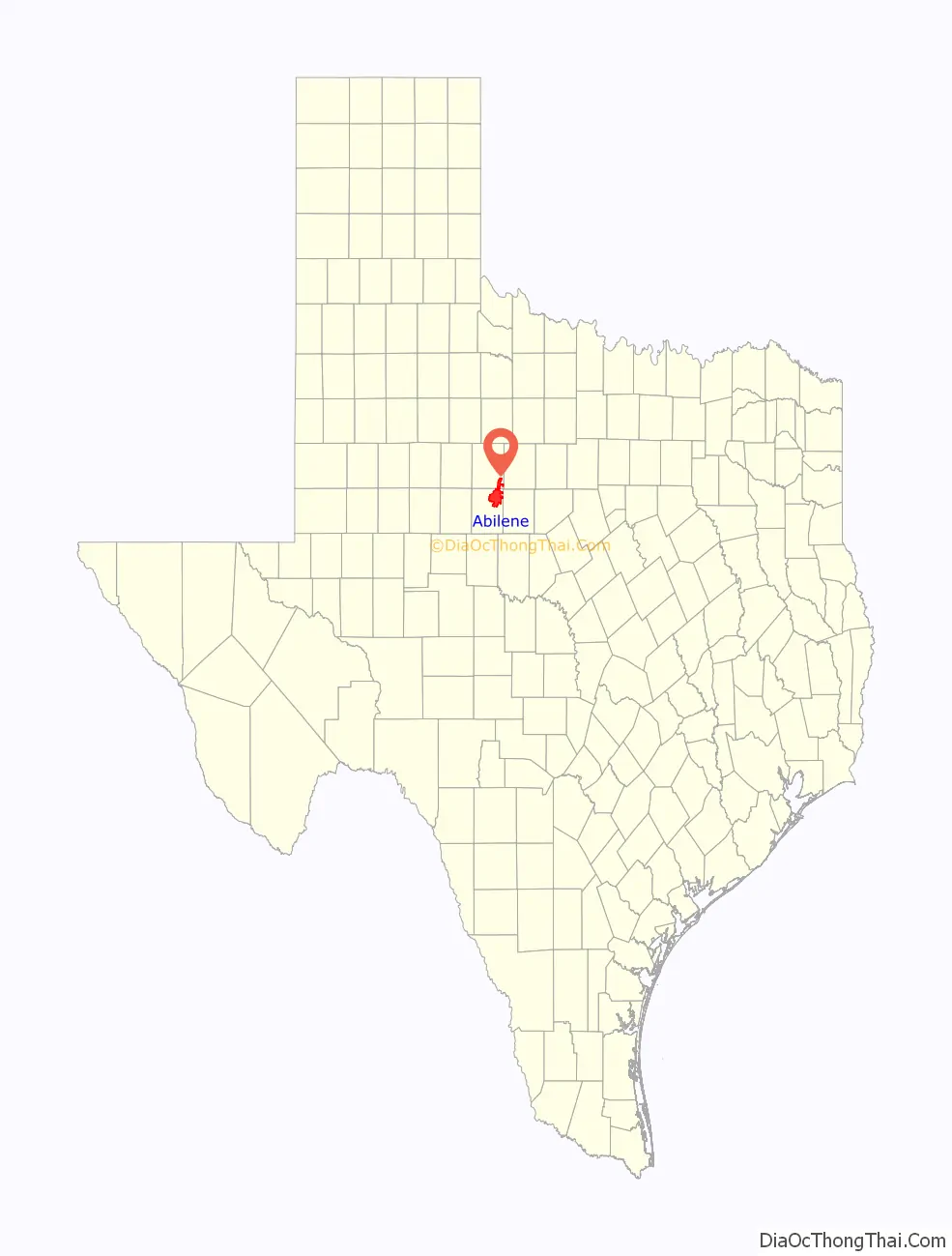
Abilene location map. Where is Abilene city?
History
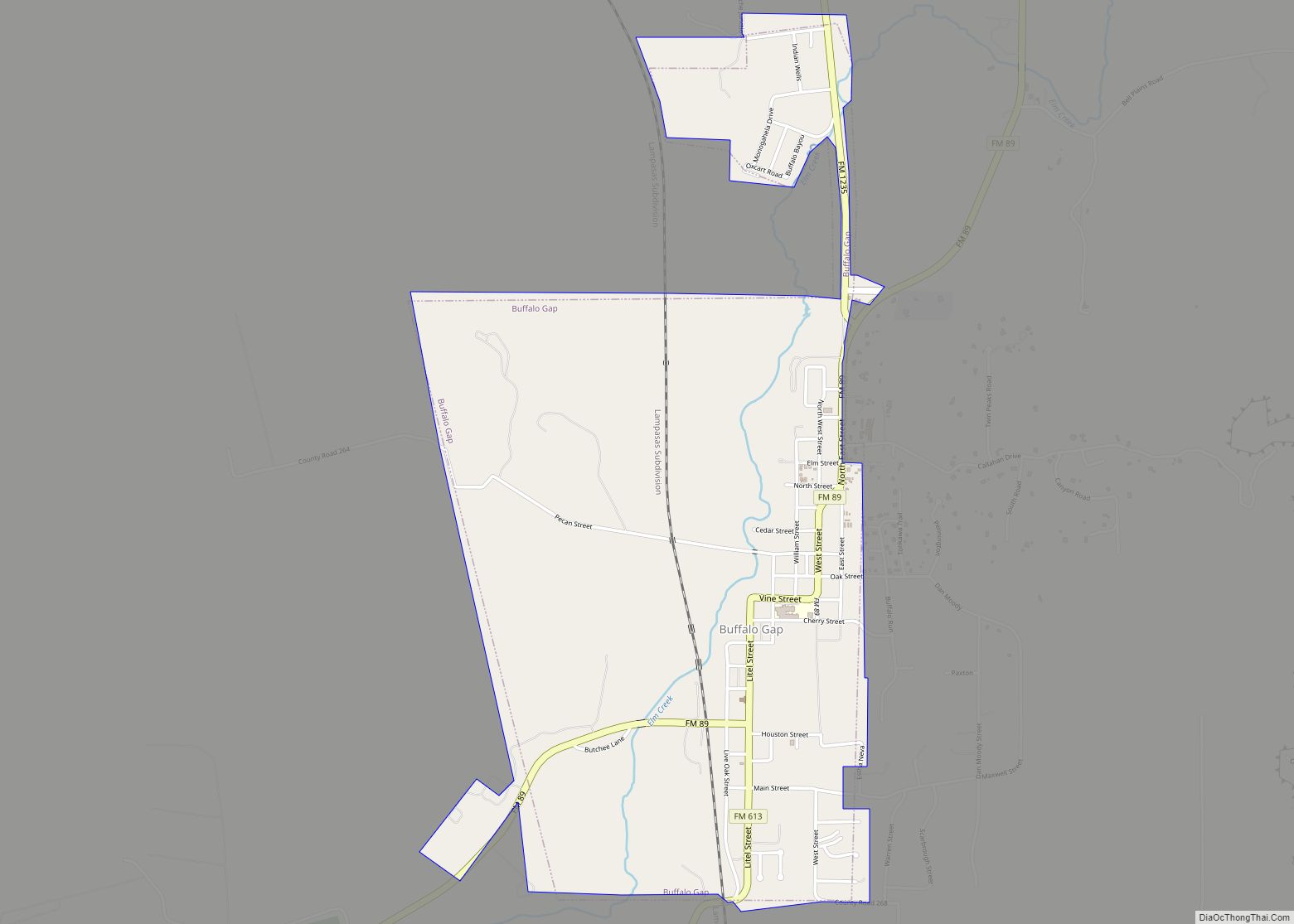
Established by cattlemen as a stock shipping point on the Texas and Pacific Railway in 1881, the city was named after Abilene, Kansas, the original endpoint for the Chisholm Trail. The T&P had bypassed the town of Buffalo Gap, the county seat at the time. Eventually, a landowner north of Buffalo Gap, Clabe Merchant, known as the father of Abilene, chose the name for the new town. According to a Dallas newspaper, about 800 people had already begun camping at the townsite before the lots were sold. The town was laid out by Colonel J. Stoddard Johnson, and the auction of lots began early on March 15, 1881. By the end of the first day, 139 lots were sold for a total of $23,810, and another 178 lots were sold the next day for $27,550.
Abilene was incorporated soon after being founded in 1881, and residents began to set their sights on bringing the county seat to Abilene. In a three-to-one vote, they won the county election to do so. In 1888, the Progressive Committee was formed to attract businesses to the area, and in 1890 renamed itself as the Board of Trade. By 1900, 3,411 people lived in Abilene. In that decade, the Board of Trade changed its name to the 25,000 Club, in the hope of reaching a population of 25,000 by the next census. By 1910, though, the population had increased only to 9,204. Another group was formed, the Young Men’s Booster Club, which became the Abilene Chamber of Commerce in 1914.
The cornerstone was laid in 1891 for Simmons College, the first of three universities in Abilene. It later developed as Hardin–Simmons University. Childers Classical Institute was founded in 1906, and developed as Abilene Christian University, the largest of the three. In 1923, McMurry College was founded; it later expanded its offerings as McMurry University.
In the late 20th century, Abilene succeeded in gaining branches of Texas State Technical College and Cisco College. Headquarters of the latter institution are located in the city.
In 1940, Abilene raised the money to purchase land to attract establishment of a U.S. Army base, southwest of town. It was named Camp Barkeley. When fully operational, it was twice the size of Abilene, with 60,000 men. When the base closed after World War II, many worried that Abilene could become a ghost town, but as the national economy boomed, many veterans returned to start businesses in Abilene.
In the early-1950s, to advocate for an Air Force base, residents raised US$893,261 (equivalent to about $9,325,416 in 2021) to purchase 3,400 acres (14 km) of land. The Southern block of Congressmen gained approval for such a base here. For decades, Dyess Air Force Base has been the city’s largest employer, with 6076 employees in 2007.
From 1950 to 1960, Abilene’s population nearly doubled, from 45,570 to 90,638. In 1960, a second high school was added to the city’s school system, Cooper High School.
In 1966, the Abilene Zoo was established near Abilene Regional Airport. The following year, one of the most important bond elections in the city’s history passed for the funding of the construction of the Abilene Civic Center and the Taylor County Coliseum, as well as major improvements to Abilene Regional Airport. In 1969, the Woodson elementary and high school for black students closed as the city integrated its school system, more than 10 years after the US Supreme Court’s ruling in Brown v. Board of Education (1954) that segregation of public schools was unconstitutional.
In 1982, Abilene became the first city in Texas to create a downtown reinvestment zone. Texas State Technical College opened an Abilene branch three years later. The 2,250-bed French Robertson Prison Unit was built in 1989. A half-cent sales tax earmarked for economic development was created after the decline in the petroleum business in the 1980s. A branch of Cisco College was located in the city in 1990.
Several major projects of restoration and new construction: The Grace Museum and Paramount Theatre, and development of Artwalk in 1992, sparked a decade of downtown revitalization. In 2004, Frontier Texas!, a multimedia museum highlighting the history of the area from 1780 to 1880, was constructed. That year an $8 million, 38-acre (150,000 m) Cisco Junior College campus was built at Loop 322 and Industrial Boulevard. Simultaneously, subdivisions and businesses started locating along the freeway, on the same side as the CC campus. This area attracted Abilene growth on the Loop.
Abilene has become the commercial, retail, medical, and transportation hub of a 19-county area more commonly known as “The Big Country”, but also known as the “Texas Midwest”. It is part of the Central Great Plains ecoregion. By the end of 2005, commercial and residential development had reached record levels in and around the city.
Timeline
- 1881
- Settlement established.
- Texas & Pacific Railroad begins operating.
- Abilene Reporter newspaper begins publication.
- 1883
- Town of Abilene incorporated.
- D. B. Corley becomes mayor.
- Abilene becomes seat of Taylor County.
- 1890 – Population: 3,194.
- 1891 – Simmons College founded.
- 1898 – “Federation” subscription library organized.
- 1903 – Saloons banned in Abilene.
- 1906 – Childers Classical Institute established.
- 1910 – Population: 9,204.
- 1919 – Abilene Zoological Gardens established.
- 1923 – McMurry College established.
- 1924 – First Presbyterian Church built.
- 1925 – Majestic Theater, a major movie theater, opened.
- 1930
- Paramount Theatre in business.
- Population: 23,175.
- 1936 – KRBC radio begins broadcasting.
- 1937
- Abilene Reporter-News in publication.
- Regional “West Texas Chamber of Commerce” relocated to Abilene.
- 1942 – Temple Mizpah (synagogue) built.
- 1945 – Eisenhower Returns celebration.
- 1946 – Abilene Blue Sox baseball team formed.
- 1947 – Office of city manager established.
- 1949 – Park Drive-In cinema in business.
- 1950 – Abilene Philharmonic Orchestra active.
- 1953 – KRBC-TV (television) begins broadcasting.
- 1956
- U.S. military Abilene Air Force Base begins operating.
- KPAR-TV (television) begins broadcasting.
- 1960 – Population: 90,368.
- 1977 – Abilene Preservation League organized.
- 1978 – Alcohol prohibition ends in Abilene.
- 1979 – Charles Stenholm was elected as the Democratic U.S. representative for Texas’s 17th congressional district. He was re-elected for 13 terms.
- 2000 – City website online (approximate date).
- 2001 – World War II-related “12th Armored Division Memorial Museum” opens.
- 2005 – Republican Randy Neugebauer was elected as U.S. representative for Texas’s newly redrawn 19th congressional district, including Abilene.
- 2010 – Population: 117,063.
- 2017 – Jodey Arrington becomes U.S. representative for Texas’s 19th congressional district.
- 2019 – revamping the downtown area of North Abilene. As of October 2019 a couple of buildings were torn down and Hilton developed a new Double Tree hotel.
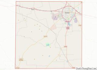
Abilene Road Map
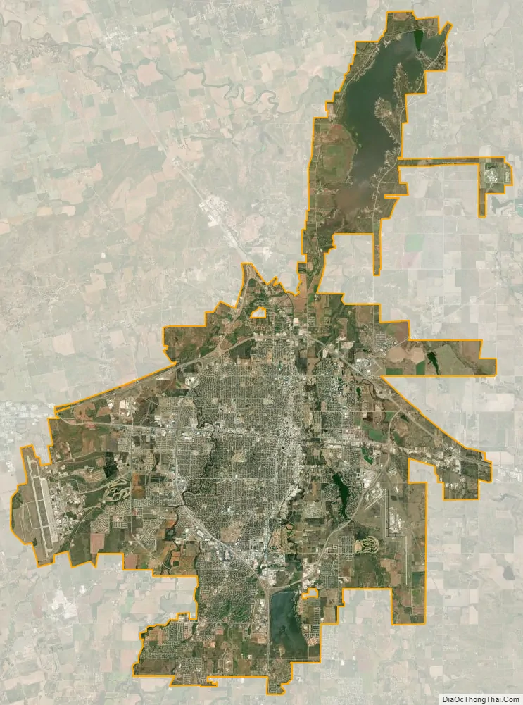
Abilene city Satellite Map
Geography
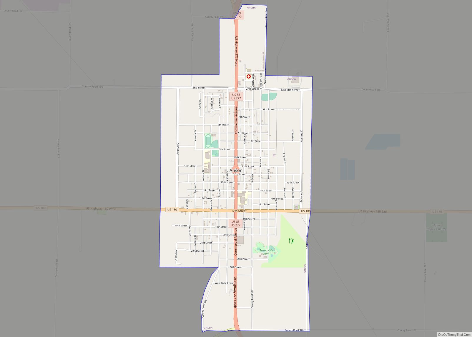
Abilene is located in northeastern Taylor County. The city limits extend north into Jones County. Interstate 20 leads east 149 miles (240 km) to Fort Worth and west 148 miles (238 km) to Midland. Three U.S. highways pass through the city. US 83 runs west of the city center, leading north 24 miles (39 km) to Anson and south 55 miles (89 km) to Ballinger. US 84 runs with US 83 through the southwest part of the city but leads southeast 52 miles (84 km) to Coleman and west with I-20 40 miles (64 km) to Sweetwater. US 277 follows US 83 around the northwest side of the city and north to Anson, but heads southwest from Abilene 89 miles (143 km) to San Angelo.
According to the United States Census Bureau, Abilene has a total area of 112.2 sq mi (290.6 km), of which 106.8 sq mi (276.6 km) are land and 5.4 sq mi (14.0 km) are covered by water (4.82%). The water area is mainly from three reservoirs in the city: Lytle Lake southeast of downtown on the western edge of Abilene Regional Airport, Kirby Lake on the southeast corner of the US 83/84 and Loop 322 interchange, and Lake Fort Phantom Hill in Jones County in northern Abilene. Clear Creek runs through the city just east of downtown, flowing north to Elm Creek and ultimately part of the Brazos River watershed.
The fastest-growing sections of the city are in the southwest, along Southwest Drive, the Winters Freeway, and the Buffalo Gap Road corridor; the southeast, along Loop 322, Oldham Lane, Industrial Drive, and Maple Street; and in the northeast near the intersection of SH 351 and I-20. Many developments have begun in these three areas within the last few years with a citywide focus on the reinvigoration of downtown Abilene.
Climate
According to the Köppen climate classification, Abilene lies at the edge of a humid subtropical climate, with areas to the west being semiarid.
Notable architecture
Notable and historical buildings in Abilene include:
- Hotel Wooten (1930) at 302 Cypress Street downtown, built by grocery entrepreneur H. O. Wooten, at 16 stories tall, is designed after the Drake Hotel in Chicago. It was restored in 2004 as a high-end apartment building.
- First Baptist Church (1954) at 1442 North Second Street has a spire 140 feet from the ground. Pastor Dr. Jesse Northcutt oversaw the planning of this building of 325 tons of steel.
- The Church of the Heavenly Rest, Episcopal, at 602 Meander Street, reflects surprising Gothic architecture on the West Texas Plains. Its plaque reads: “No man entering a house ignores him who dwells in it. This is the house of God and He is here.”
- The 20-story Enterprise Tower at 500 Chestnut Street, the highest structure in Abilene, rises to 283 feet above the Plains. It is the tallest building in west central Texas and one of the five highest in the western two-thirds of the state.
- The Taylor County Courthouse at 300 Oak Street, with its international architectural style of concrete and pink granite, resembles few other courthouses.
- Paramount Theatre at 352 Cypress Street opened in 1930 and restored in 1986 had an original marquee 90 feet tall, with 1,400 lights.
- Lincoln Junior High School, 1699 South First Street. In 2012, the Abilene Independent School District deeded the property to the City of Abilene. This property was placed on the National Register of Historic Places on August 28, 2012. Built in 1923, the architecture is Gothic Revival and includes two large gargoyles at the entrance and has Gothic and art deco motifs. It opened as Abilene High School in 1924, became Lincoln Junior High in 1955, and Lincoln Middle School in 1985. The campus closed in 2007. As of 2019, the Abilene Heritage Square was renovating the school into “a multipurpose center for learning, making, discovery, building community and innovating and encouraging our city’s future businesses.” The Abilene Public Library will also use the restored building as the new main branch.
See also
Map of Texas State and its subdivision:- Anderson
- Andrews
- Angelina
- Aransas
- Archer
- Armstrong
- Atascosa
- Austin
- Bailey
- Bandera
- Bastrop
- Baylor
- Bee
- Bell
- Bexar
- Blanco
- Borden
- Bosque
- Bowie
- Brazoria
- Brazos
- Brewster
- Briscoe
- Brooks
- Brown
- Burleson
- Burnet
- Caldwell
- Calhoun
- Callahan
- Cameron
- Camp
- Carson
- Cass
- Castro
- Chambers
- Cherokee
- Childress
- Clay
- Cochran
- Coke
- Coleman
- Collin
- Collingsworth
- Colorado
- Comal
- Comanche
- Concho
- Cooke
- Coryell
- Cottle
- Crane
- Crockett
- Crosby
- Culberson
- Dallam
- Dallas
- Dawson
- Deaf Smith
- Delta
- Denton
- Dewitt
- Dickens
- Dimmit
- Donley
- Duval
- Eastland
- Ector
- Edwards
- El Paso
- Ellis
- Erath
- Falls
- Fannin
- Fayette
- Fisher
- Floyd
- Foard
- Fort Bend
- Franklin
- Freestone
- Frio
- Gaines
- Galveston
- Garza
- Gillespie
- Glasscock
- Goliad
- Gonzales
- Gray
- Grayson
- Gregg
- Grimes
- Guadalupe
- Hale
- Hall
- Hamilton
- Hansford
- Hardeman
- Hardin
- Harris
- Harrison
- Hartley
- Haskell
- Hays
- Hemphill
- Henderson
- Hidalgo
- Hill
- Hockley
- Hood
- Hopkins
- Houston
- Howard
- Hudspeth
- Hunt
- Hutchinson
- Irion
- Jack
- Jackson
- Jasper
- Jeff Davis
- Jefferson
- Jim Hogg
- Jim Wells
- Johnson
- Jones
- Karnes
- Kaufman
- Kendall
- Kenedy
- Kent
- Kerr
- Kimble
- King
- Kinney
- Kleberg
- Knox
- La Salle
- Lamar
- Lamb
- Lampasas
- Lavaca
- Lee
- Leon
- Liberty
- Limestone
- Lipscomb
- Live Oak
- Llano
- Loving
- Lubbock
- Lynn
- Madison
- Marion
- Martin
- Mason
- Matagorda
- Maverick
- McCulloch
- McLennan
- McMullen
- Medina
- Menard
- Midland
- Milam
- Mills
- Mitchell
- Montague
- Montgomery
- Moore
- Morris
- Motley
- Nacogdoches
- Navarro
- Newton
- Nolan
- Nueces
- Ochiltree
- Oldham
- Orange
- Palo Pinto
- Panola
- Parker
- Parmer
- Pecos
- Polk
- Potter
- Presidio
- Rains
- Randall
- Reagan
- Real
- Red River
- Reeves
- Refugio
- Roberts
- Robertson
- Rockwall
- Runnels
- Rusk
- Sabine
- San Augustine
- San Jacinto
- San Patricio
- San Saba
- Schleicher
- Scurry
- Shackelford
- Shelby
- Sherman
- Smith
- Somervell
- Starr
- Stephens
- Sterling
- Stonewall
- Sutton
- Swisher
- Tarrant
- Taylor
- Terrell
- Terry
- Throckmorton
- Titus
- Tom Green
- Travis
- Trinity
- Tyler
- Upshur
- Upton
- Uvalde
- Val Verde
- Van Zandt
- Victoria
- Walker
- Waller
- Ward
- Washington
- Webb
- Wharton
- Wheeler
- Wichita
- Wilbarger
- Willacy
- Williamson
- Wilson
- Winkler
- Wise
- Wood
- Yoakum
- Young
- Zapata
- Zavala
- Alabama
- Alaska
- Arizona
- Arkansas
- California
- Colorado
- Connecticut
- Delaware
- District of Columbia
- Florida
- Georgia
- Hawaii
- Idaho
- Illinois
- Indiana
- Iowa
- Kansas
- Kentucky
- Louisiana
- Maine
- Maryland
- Massachusetts
- Michigan
- Minnesota
- Mississippi
- Missouri
- Montana
- Nebraska
- Nevada
- New Hampshire
- New Jersey
- New Mexico
- New York
- North Carolina
- North Dakota
- Ohio
- Oklahoma
- Oregon
- Pennsylvania
- Rhode Island
- South Carolina
- South Dakota
- Tennessee
- Texas
- Utah
- Vermont
- Virginia
- Washington
- West Virginia
- Wisconsin
- Wyoming