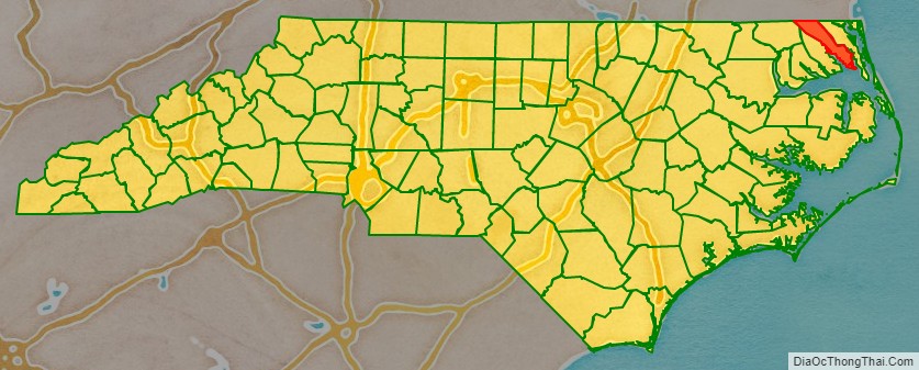
Camden County is a consolidated city-county located in the U.S. State of North Carolina. As of the 2020 census, the population was 10,335, making it the fourth-least populous county in North Carolina. Its county seat is Camden. Camden County is part of the Elizabeth City, NC Micropolitan Statistical Area, which is also included in the Virginia Beach–Norfolk, VA-NC Combined Statistical Area.
| Name: | Camden County |
|---|---|
| FIPS code: | 37-029 |
| State: | North Carolina |
| Founded: | 1777 |
| Named for: | Charles Pratt, 1st Earl Camden |
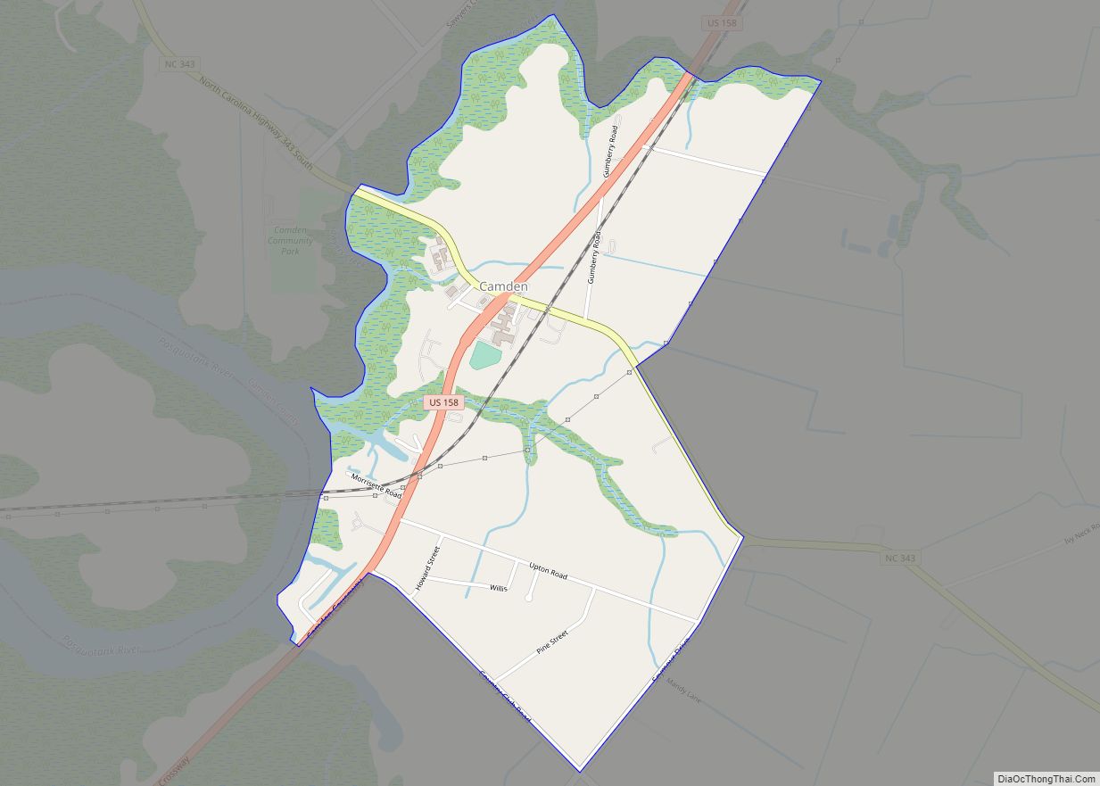
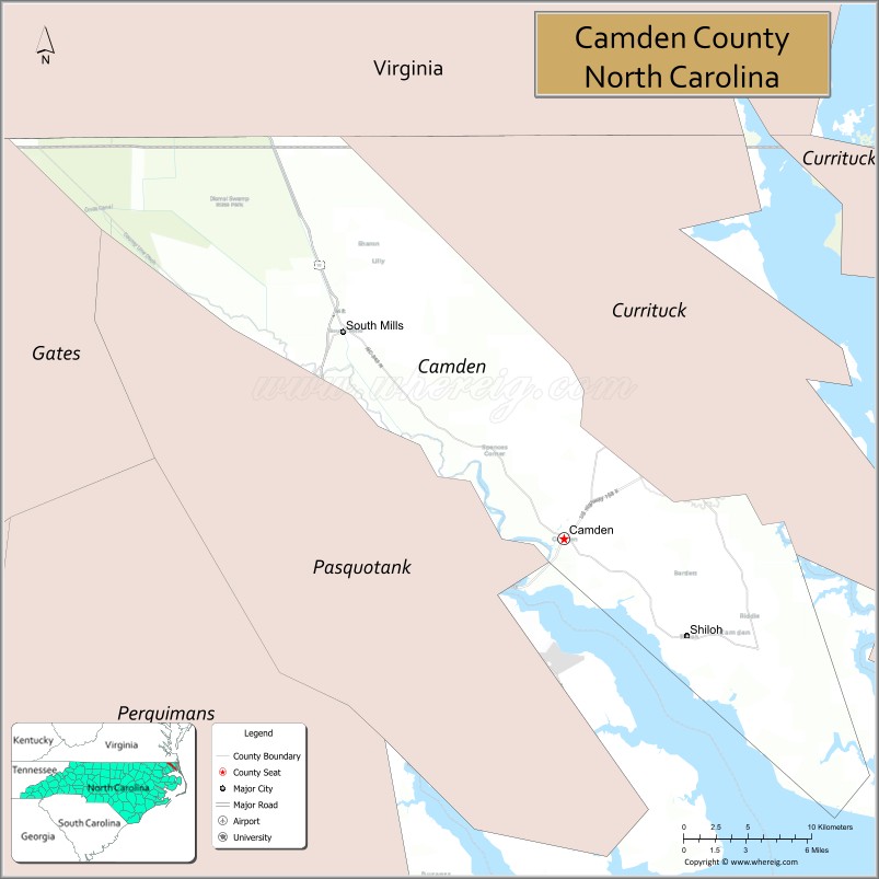
| Seat: | Camden |
| Largest town: | Camden |
| Total Area: | 310 sq mi (800 km²) |
| Land Area: | 241 sq mi (620 km²) |
| Total Population: | 10,335 |
| Population Density: | 33/sq mi (13/km²) |
| Time zone: | UTC−5 (Eastern) |
| Summer Time Zone (DST): | UTC−4 (EDT) |
| Website: | www.camdencountync.gov |
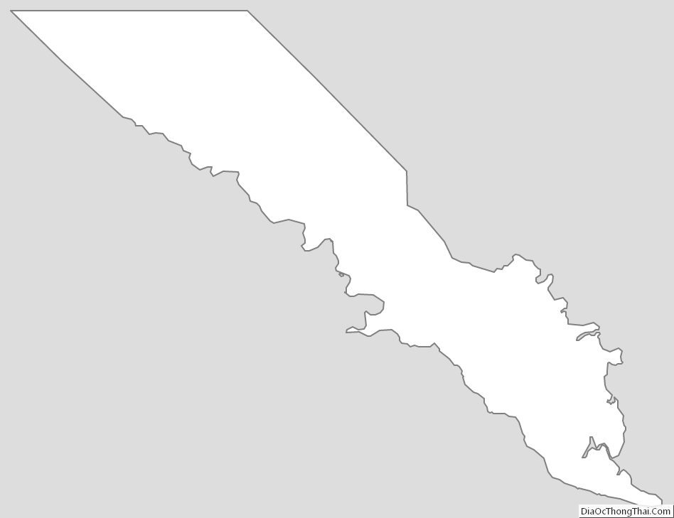
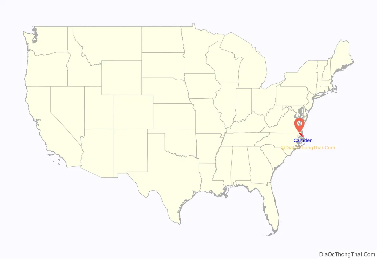
Camden County location map. Where is Camden County?
History
The county was formed in 1777 from the northeastern part of Pasquotank County. It was named for Charles Pratt, 1st Lord Camden, who had opposed the Stamp Act. The county is the site of the southern terminus of the Dismal Swamp Canal. It was the site of the Battle of South Mills on April 19, 1862, during the American Civil War, which was a minor victory to the Confederacy.
Shiloh Baptist Church, founded around 1727 by Paul Palmer, is the oldest Baptist church in North Carolina. It is located in the Shiloh township.
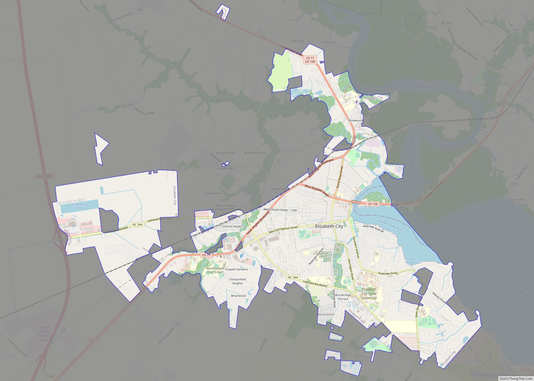
Though technically there are (or were) no incorporated municipalities in Camden County (with the exception of a small portion of Elizabeth City, most of which is in bordering Pasqoutank County), the county became the first consolidated city-county entity in North Carolina in June 2006.
Camden County is the location of Academi’s Blackwater Lodge and Training Center for paramilitary and security operations.
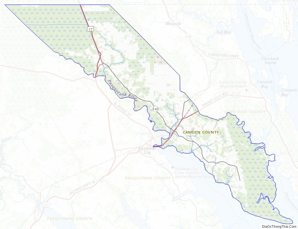
Camden County Road Map
Geography
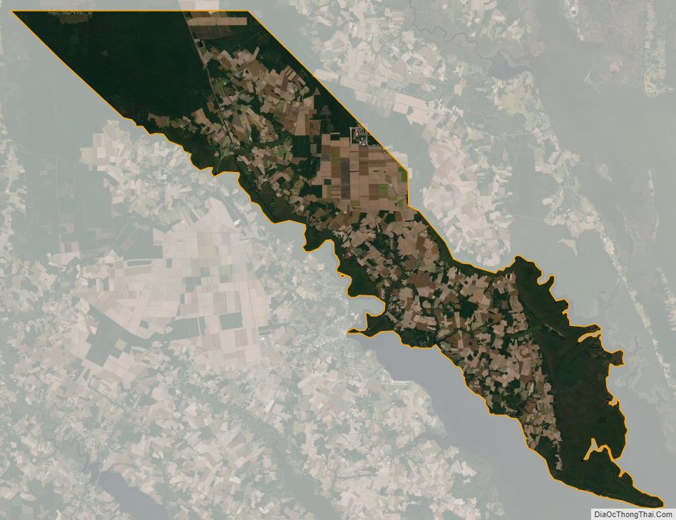
According to the U.S. Census Bureau, the county has a total area of 310 square miles (800 km), of which 241 square miles (620 km) is land and 70 square miles (180 km) (22%) is water.
National protected area
- Great Dismal Swamp National Wildlife Refuge (part)
State and local protected areas
- Dismal Swamp State Park
- North River Game Land Dedicated Nature Preserve (part)
Major water bodies
- Albemarle Sound
- Intracoastal Waterway
- North River
- Pasquotank River
Adjacent counties
- City of Suffolk, Virginia – north
- City of Chesapeake, Virginia – north
- Gates County – northwest
- Currituck County – east
- Tyrrell County – south
- Pasquotank County – southwest
Major highways
- Future I-87 (Concurrency with US 17)
- US 17
- US 17 Bus.
- US 158
- NC 34
- NC 343
Camden County Topographic Map
Camden County Satellite Map
Camden County Outline Map