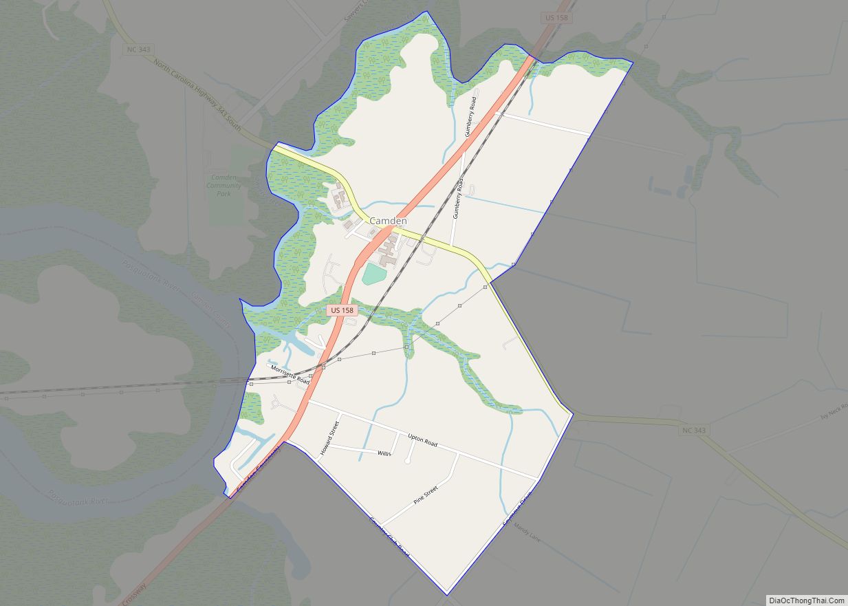
Camden is an unincorporated town and Census-designated place in Camden County, North Carolina, United States. It is the county seat of Camden County, a consolidated city-county. As of the 2010 census, the Camden town had a population of 599.
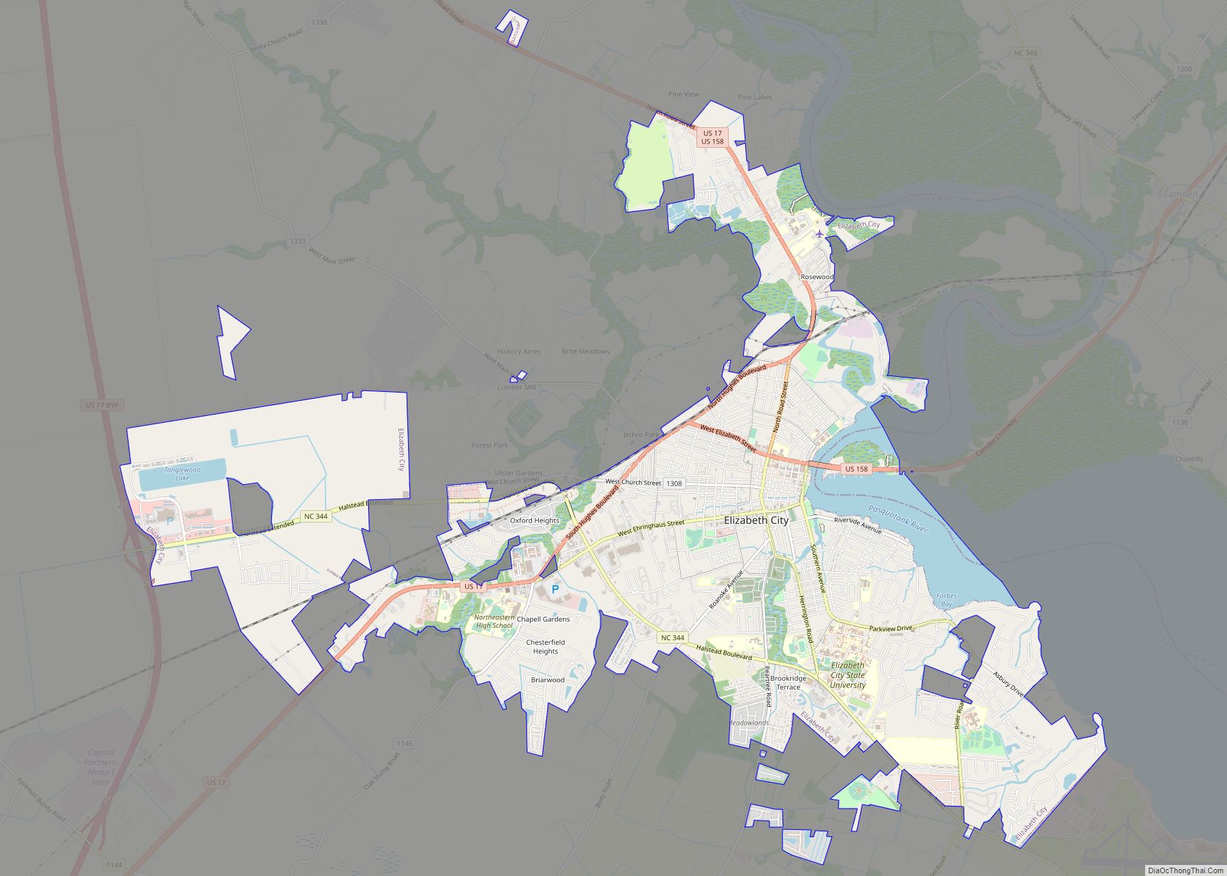
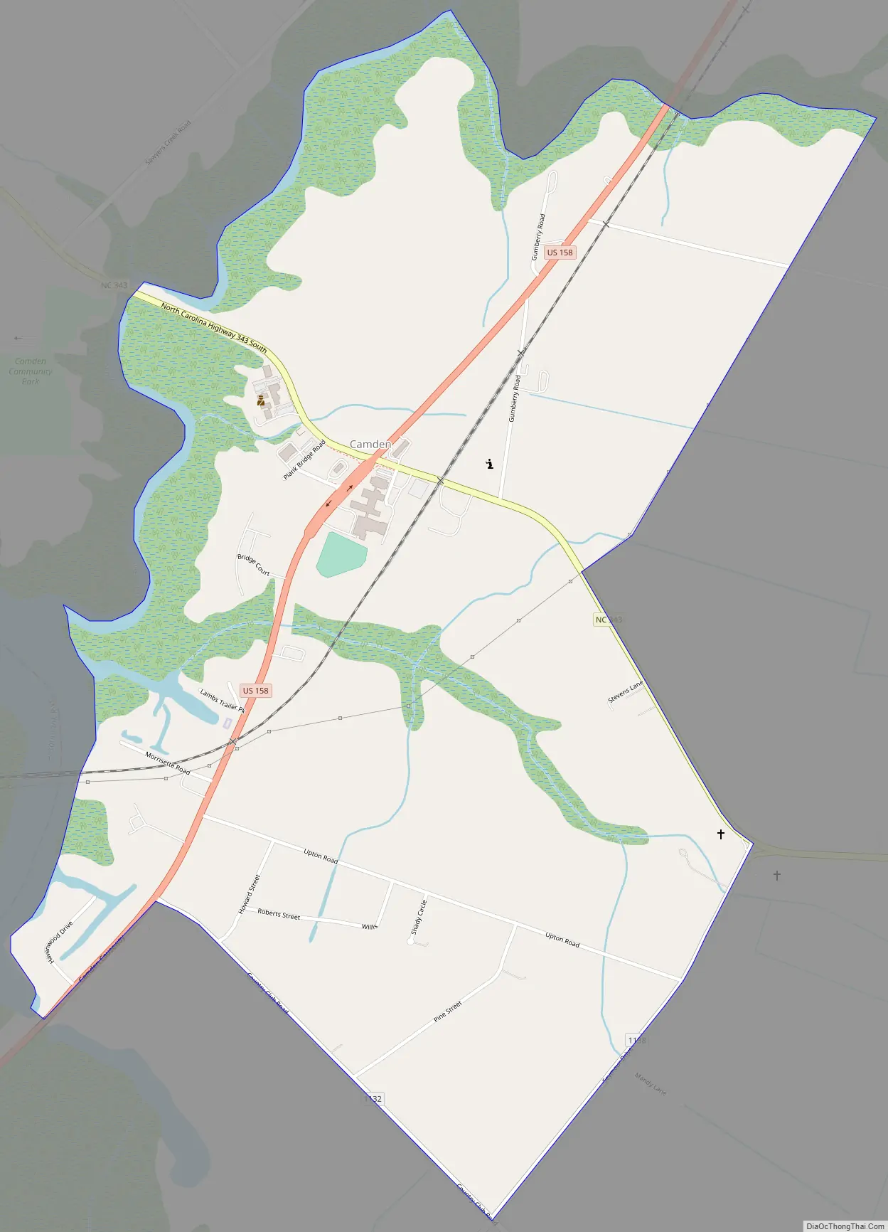
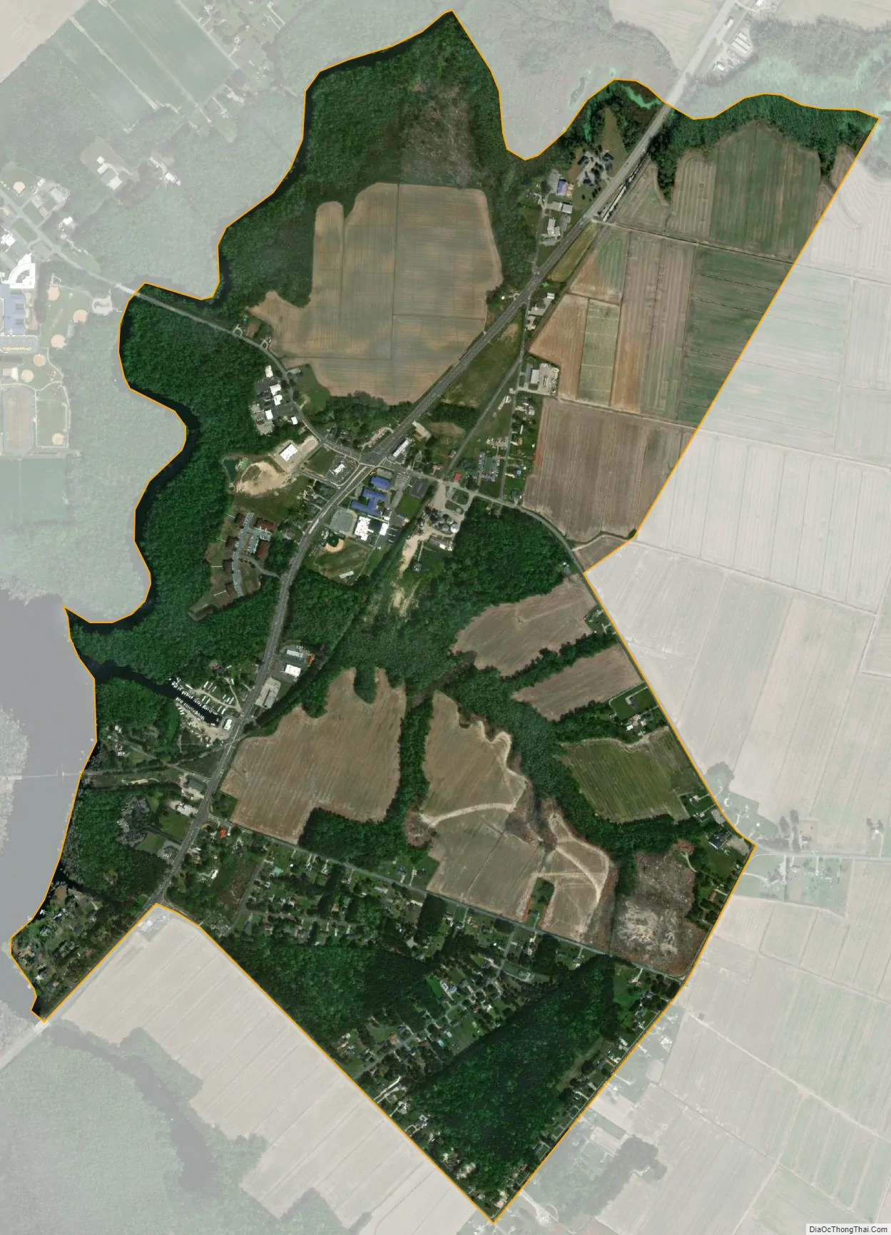
Camden is located on the eastern banks of the Pasquotank River, across from which lies Elizabeth City. It currently has two traffic lights, and is centered at the intersection of U.S. Highway 158 and North Carolina Highway 343. It boasts five schools: Grandy Primary School, Camden Intermediate School, Camden Middle School, Camden County High, and Camtech Early College High School.
Camden is part of the Elizabeth City, North Carolina Micropolitan Statistical Area.
The Camden County Courthouse, Camden County Jail, Lamb-Ferebee House, and Milford are listed on the National Register of Historic Places.
| Name: | Camden CDP |
|---|---|
| LSAD Code: | 57 |
| LSAD Description: | CDP (suffix) |
| State: | North Carolina |
| County: | Camden County |
| Elevation: | 8.2 ft (2.5 m) |
| Total Area: | 1.59 sq mi (4.11 km²) |
| Land Area: | 1.58 sq mi (4.09 km²) |
| Water Area: | 0.01 sq mi (0.02 km²) |
| Total Population: | 620 |
| Population Density: | 392.65/sq mi (151.62/km²) |
| ZIP code: | 27921, 27929 |
| Area code: | 252 |
| FIPS code: | 3709780 |
| GNISfeature ID: | 1019481 |
Online Interactive Map
Click on ![]() to view map in "full screen" mode.
to view map in "full screen" mode.
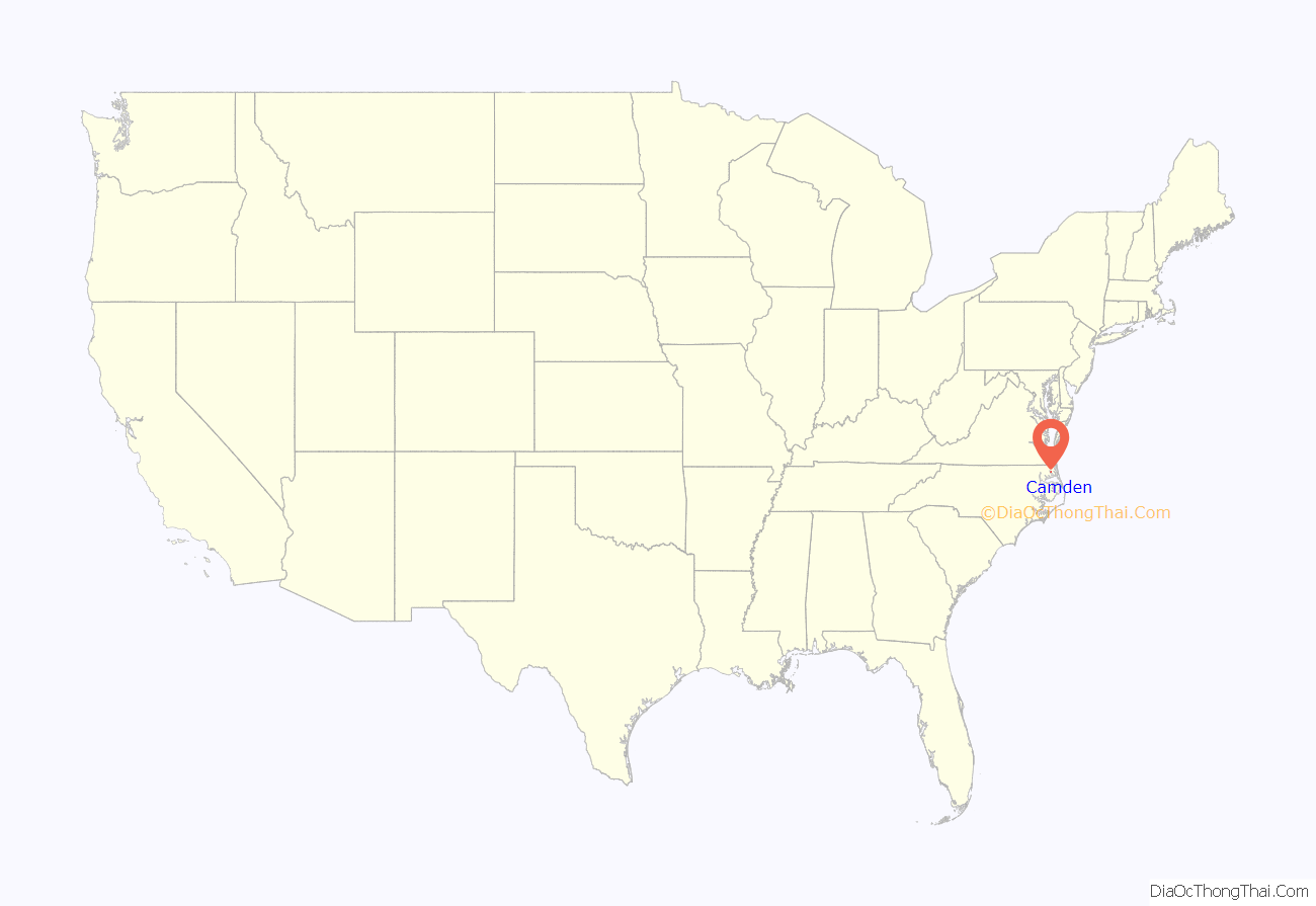
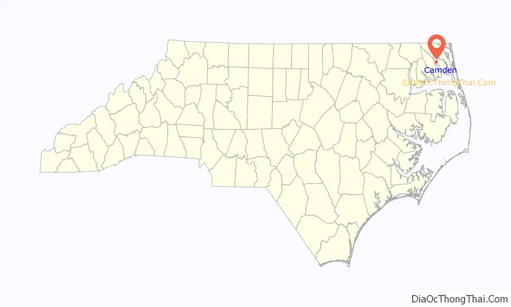
Camden location map. Where is Camden CDP?
Camden Road Map
Camden city Satellite Map
See also
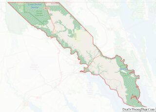
Map of North Carolina State and its subdivision:- Alamance
- Alexander
- Alleghany
- Anson
- Ashe
- Avery
- Beaufort
- Bertie
- Bladen
- Brunswick
- Buncombe
- Burke
- Cabarrus
- Caldwell
- Camden
- Carteret
- Caswell
- Catawba
- Chatham
- Cherokee
- Chowan
- Clay
- Cleveland
- Columbus
- Craven
- Cumberland
- Currituck
- Dare
- Davidson
- Davie
- Duplin
- Durham
- Edgecombe
- Forsyth
- Franklin
- Gaston
- Gates
- Graham
- Granville
- Greene
- Guilford
- Halifax
- Harnett
- Haywood
- Henderson
- Hertford
- Hoke
- Hyde
- Iredell
- Jackson
- Johnston
- Jones
- Lee
- Lenoir
- Lincoln
- Macon
- Madison
- Martin
- McDowell
- Mecklenburg
- Mitchell
- Montgomery
- Moore
- Nash
- New Hanover
- Northampton
- Onslow
- Orange
- Pamlico
- Pasquotank
- Pender
- Perquimans
- Person
- Pitt
- Polk
- Randolph
- Richmond
- Robeson
- Rockingham
- Rowan
- Rutherford
- Sampson
- Scotland
- Stanly
- Stokes
- Surry
- Swain
- Transylvania
- Tyrrell
- Union
- Vance
- Wake
- Warren
- Washington
- Watauga
- Wayne
- Wilkes
- Wilson
- Yadkin
- Yancey
- Alabama
- Alaska
- Arizona
- Arkansas
- California
- Colorado
- Connecticut
- Delaware
- District of Columbia
- Florida
- Georgia
- Hawaii
- Idaho
- Illinois
- Indiana
- Iowa
- Kansas
- Kentucky
- Louisiana
- Maine
- Maryland
- Massachusetts
- Michigan
- Minnesota
- Mississippi
- Missouri
- Montana
- Nebraska
- Nevada
- New Hampshire
- New Jersey
- New Mexico
- New York
- North Carolina
- North Dakota
- Ohio
- Oklahoma
- Oregon
- Pennsylvania
- Rhode Island
- South Carolina
- South Dakota
- Tennessee
- Texas
- Utah
- Vermont
- Virginia
- Washington
- West Virginia
- Wisconsin
- Wyoming