Tyrrell County is a county located in the U.S. state of North Carolina. As of the 2020 census, the population was 3,245, making it the least populous county in North Carolina. Its county seat is Columbia. The county was created in 1729 as Tyrrell Precinct and gained county status in 1739. Tyrrell County is included in the Kill Devil Hills, NC, Micropolitan Statistical Area, which is also included in the Virginia Beach-Norfolk, VA-NC Combined Statistical Area.
| Name: | Tyrrell County |
|---|---|
| FIPS code: | 37-177 |
| State: | North Carolina |
| Founded: | 1729 |
| Named for: | Sir John Tyrrell |
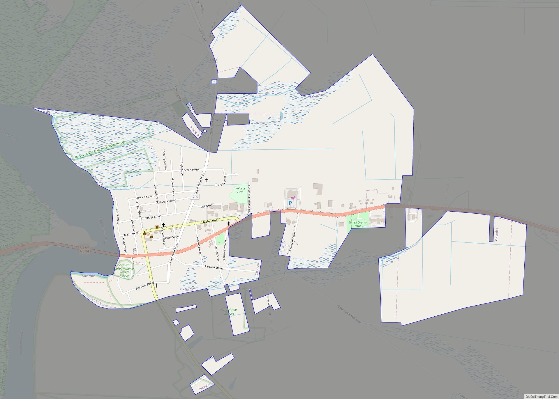
| Seat: | Columbia |
| Largest town: | Columbia |
| Total Area: | 594 sq mi (1,540 km²) |
| Land Area: | 389 sq mi (1,010 km²) |
| Total Population: | 3,254 |
| Population Density: | 8.4/sq mi (3.2/km²) |
| Time zone: | UTC−5 (Eastern) |
| Summer Time Zone (DST): | UTC−4 (EDT) |
| Website: | tyrrellcounty.org |
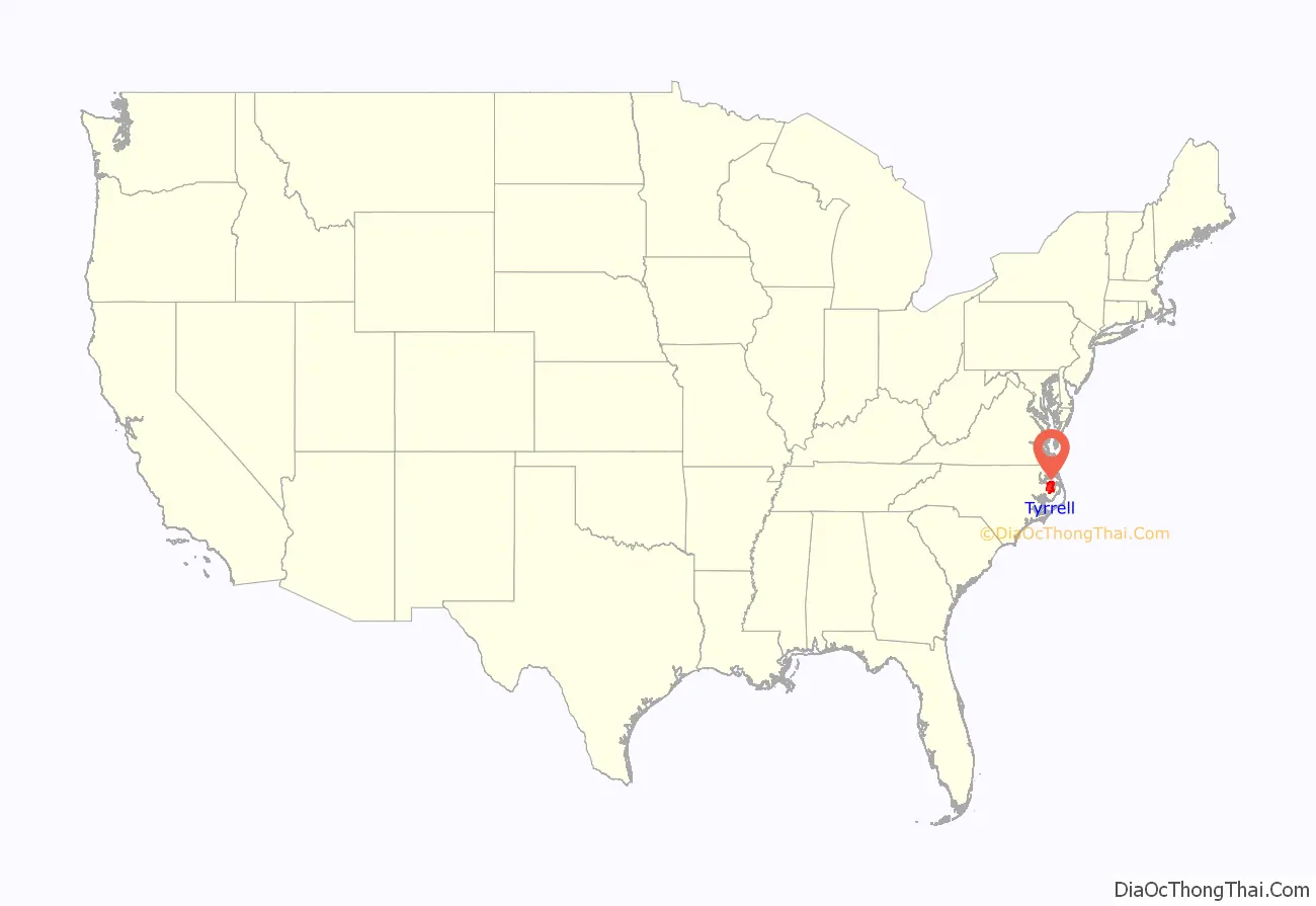
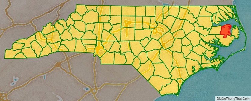
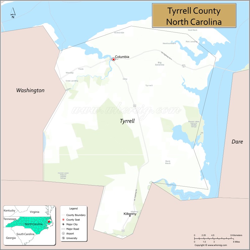
Tyrrell County location map. Where is Tyrrell County?
History
The county was formed in 1729 as Tyrrell Precinct of Albemarle County, from parts of Bertie Precinct, Chowan Precinct, Currituck Precinct, and Pasquotank Precinct. It was named for Sir John Tyrrell, one of the Lords Proprietors of Carolina.
With the abolition of Albemarle County in 1739, all of its constituent precincts became counties. In 1774, the western part of Tyrrell County was combined with part of Halifax County to form Martin County. In 1799, the western third of what remained of Tyrrell County became Washington County. In 1870, the half of Tyrrell County east of the Alligator River was combined with parts of Currituck County and Hyde County to form Dare County.
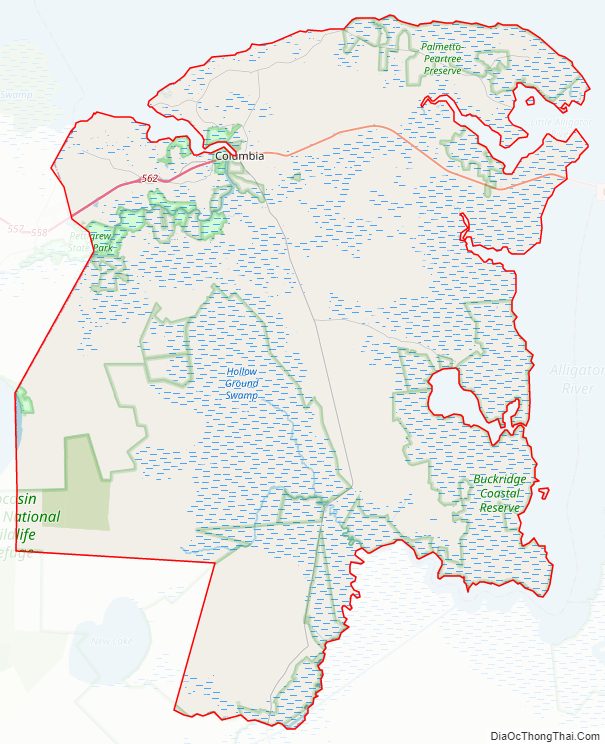
Tyrrell County Road Map
Geography
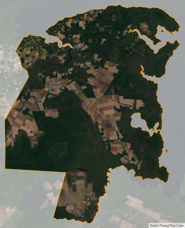
According to the U.S. Census Bureau, the county has a total area of 594 square miles (1,540 km), of which 389 square miles (1,010 km) is land and 205 square miles (530 km) (35%) is water.
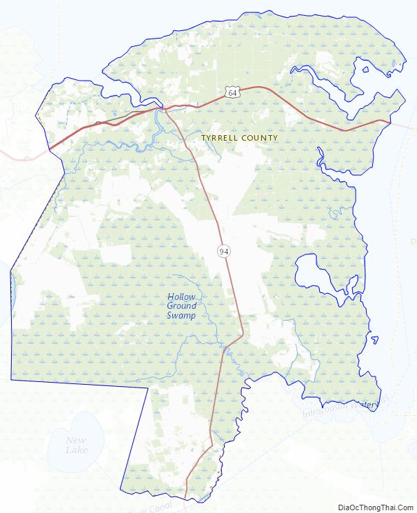
National protected area
- Pocosin Lakes National Wildlife Refuge (part)
State and local protected areas
- Alligator River Game Land
- Alligator River Area Outstanding Resource Water (part)
- Buckridge Coastal Reserve Dedicated Nature Preserve
- Emily and Richardson Preyer Buckridge Coastal Reserve
- Emily and Richardson Preyer Buckridge Reserve (part)
- New Lake Game Land (part)
- Palmetto-Peartree Preserve
- Pettigrew State Park (part)
Major water bodies
- Albemarle Sound
- Alligator River
- Intracoastal Waterway
- Lake Phelps
- Scuppernong River
- The Frying Pan
Adjacent counties
- Perquimans County – northwest
- Camden County – north
- Pasquotank County – north
- Currituck County – northeast
- Washington County – west
- Dare County – east
- Hyde County – south
Major highways
- US 64
- US 64 Bus.
- NC 94
Tyrrell County Topographic Map
Tyrrell County Satellite Map
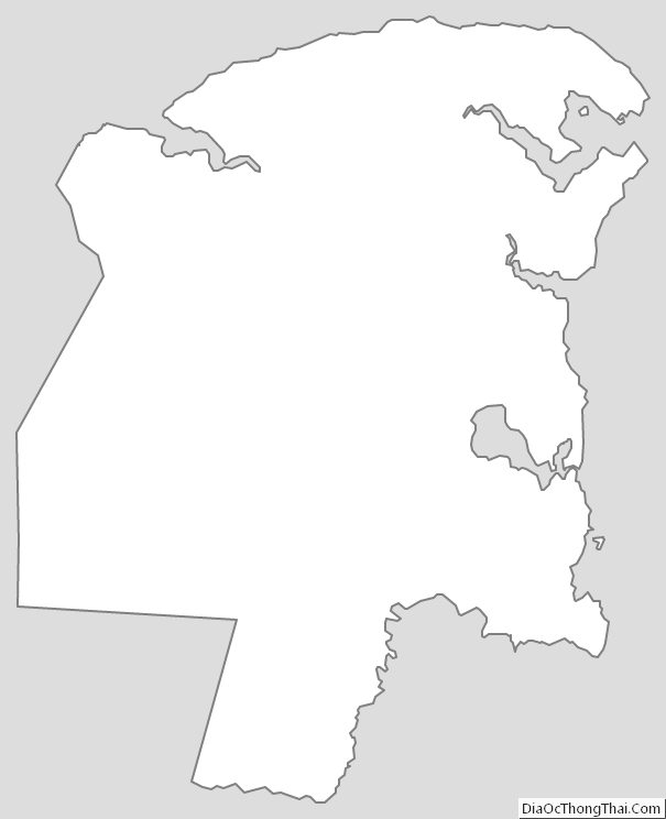
Tyrrell County Outline Map