Casey County is a county located in the U.S. Commonwealth of Kentucky. As of the 2020 census, the population was 15,941. Its county seat is Liberty. The county was formed in 1806 from the western part of Lincoln County and named for Colonel William Casey, a pioneer settler who moved his family to Kentucky in 1779. It is the only Kentucky county entirely in the Knobs region. Casey County is home to annual Casey County Apple Festival, and is a prohibition or dry county. It is considered part of the Appalachian region of Kentucky.
| Name: | Casey County |
|---|---|
| FIPS code: | 21-045 |
| State: | Kentucky |
| Founded: | November 14, 1806 |
| Named for: | Colonel William Casey |
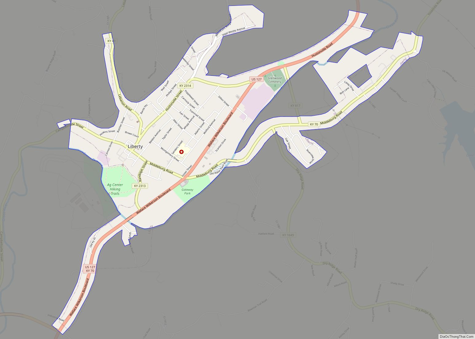
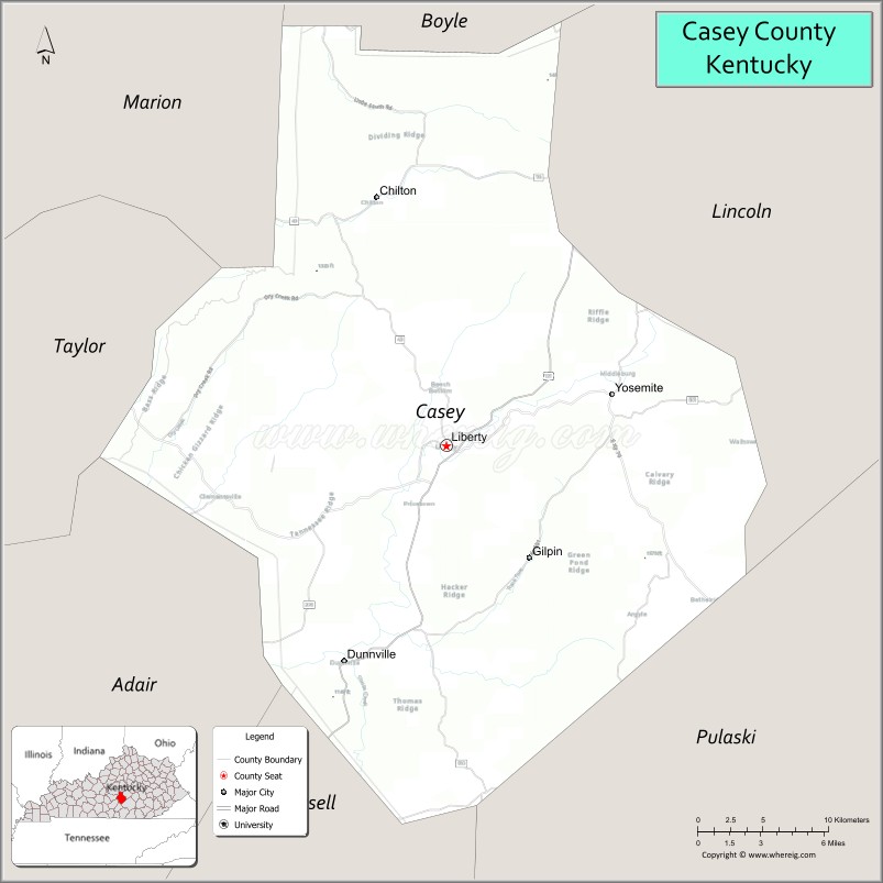
| Seat: | Liberty |
| Largest city: | Liberty |
| Total Area: | 446 sq mi (1,160 km²) |
| Land Area: | 444 sq mi (1,150 km²) |
| Total Population: | 15,941 |
| Population Density: | 36/sq mi (14/km²) |
| Time zone: | UTC−5 (Eastern) |
| Summer Time Zone (DST): | UTC−4 (EDT) |
| Website: | www.libertykentucky.org |
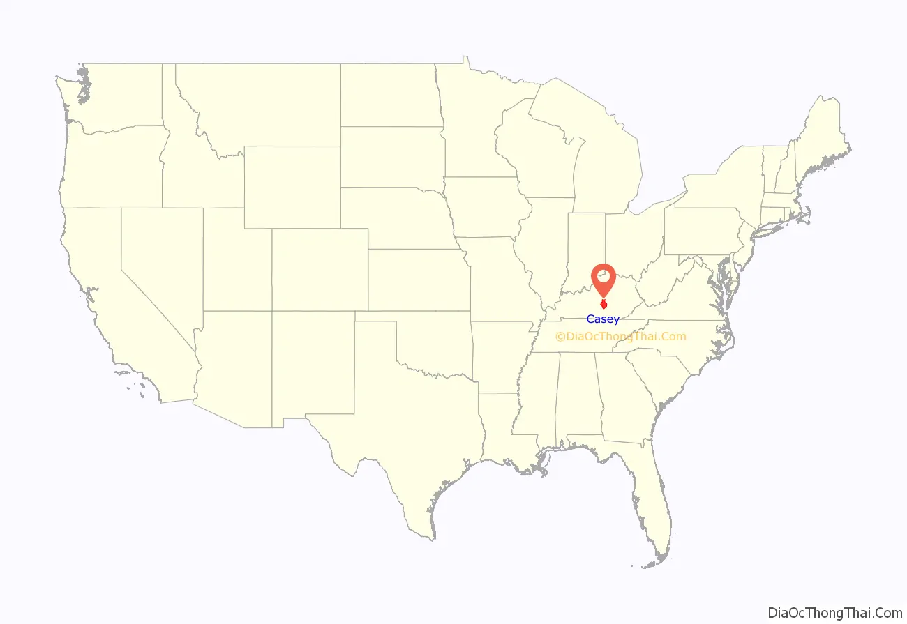
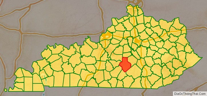
Casey County location map. Where is Casey County?
History
Casey County was established in 1806 from land given by Lincoln County. The third and present courthouse was built in 1889.
In 2015, County Clerk Casey Davis received national press when he announced he would deny same-sex marriage licenses, as a show of solidarity with fellow county clerk Kim Davis, who was criticized and later jailed for doing the same thing in Rowan County, Kentucky.
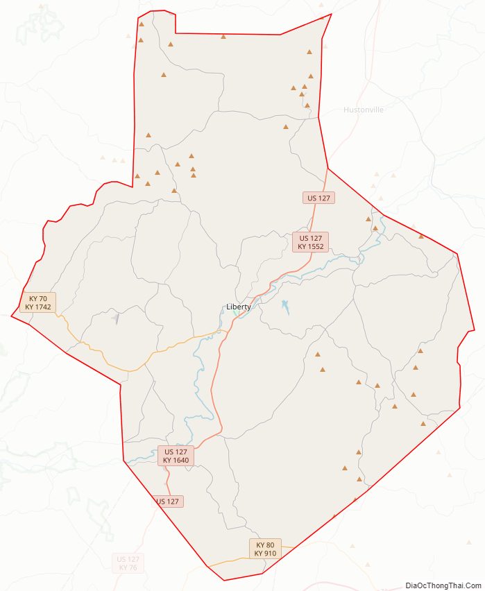
Casey County Road Map
Geography
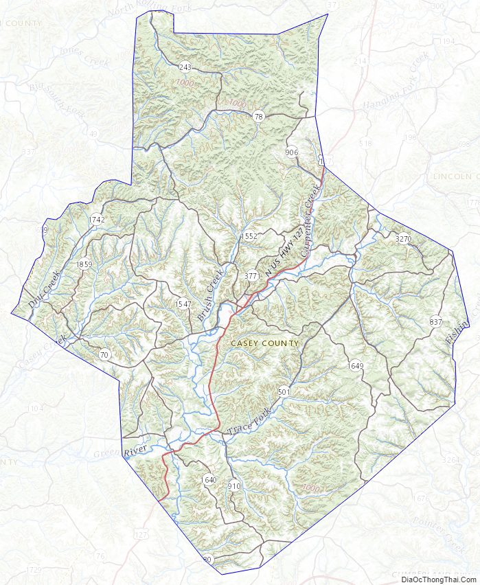
According to the United States Census Bureau, the county has a total area of 446 square miles (1,160 km), of which 444 square miles (1,150 km) is land and 1.5 square miles (3.9 km) (0.3%) is water.
The highest point in Casey County is Green River Knob at 1,789 feet (545 m).
Adjacent counties
- Boyle County (north)
- Lincoln County (east)
- Pulaski County (southeast)
- Russell County (south/CST Border)
- Adair County (southwest/CST Border)
- Taylor County (west)
- Marion County (northwest)
Major highways
- KY 80
- US 127
- KY 49
- KY 70
- KY 78
- KY 198
- KY 243
- KY 910
Casey County Topographic Map
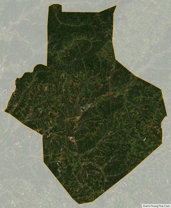
Casey County Satellite Map
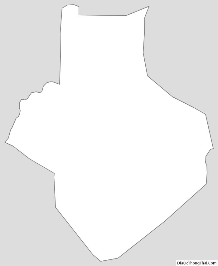
Casey County Outline Map