Catoosa County is a county located in the northwestern part of the U.S. state of Georgia. As of the 2020 census, the population was 67,872. The county seat is Ringgold. The county was created on December 5, 1853. The meaning of the Cherokee language name “Catoosa” is obscure: “Catoosa” may come from the Cherokee words gatusi (“hill”, “small mountain” or “high place”) or gatu’gitse (“new settlement place”).
Catoosa County is part of the Chattanooga, TN–GA Metropolitan Statistical Area.
| Name: | Catoosa County |
|---|---|
| FIPS code: | 13-047 |
| State: | Georgia |
| Founded: | 1853 |
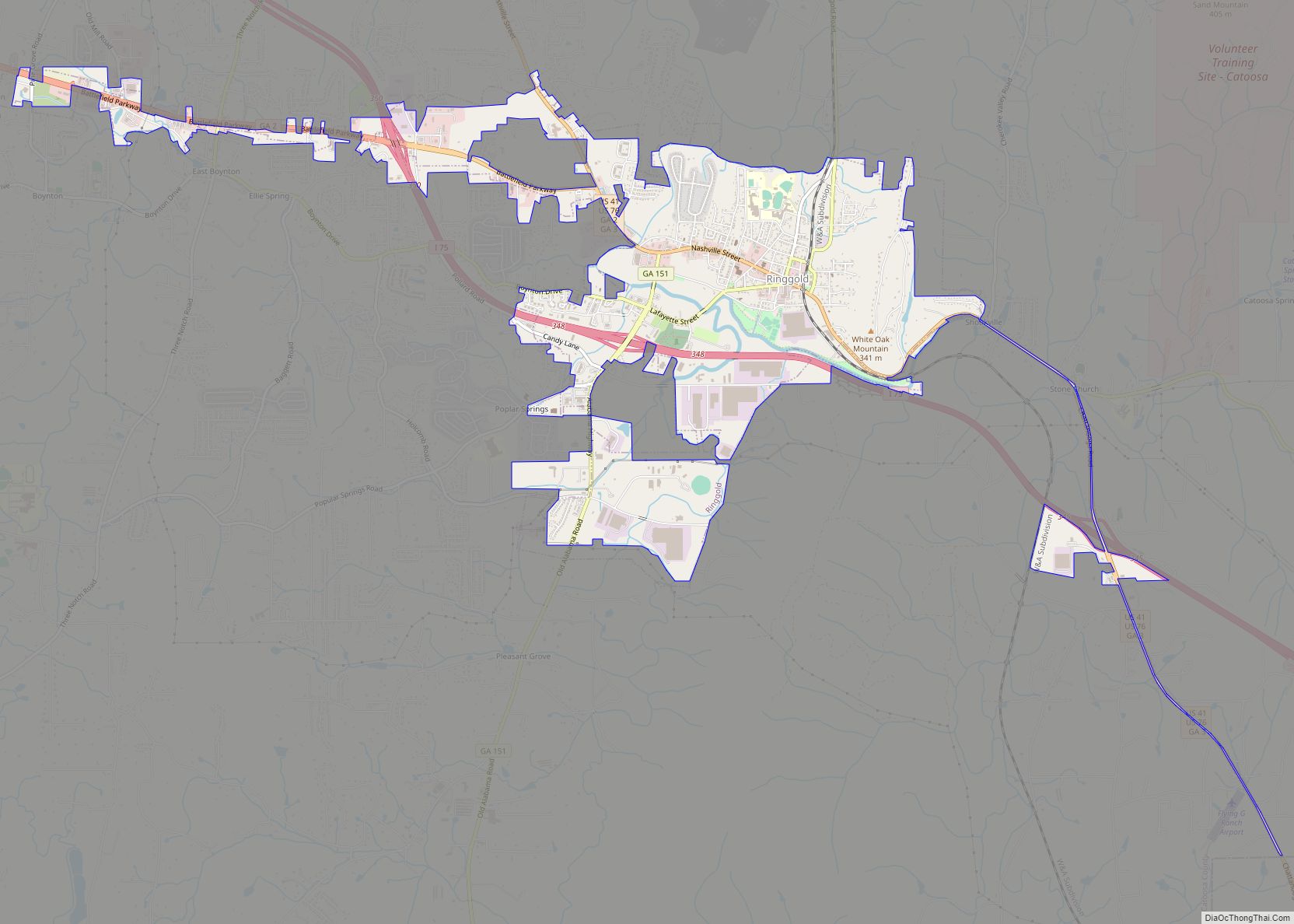
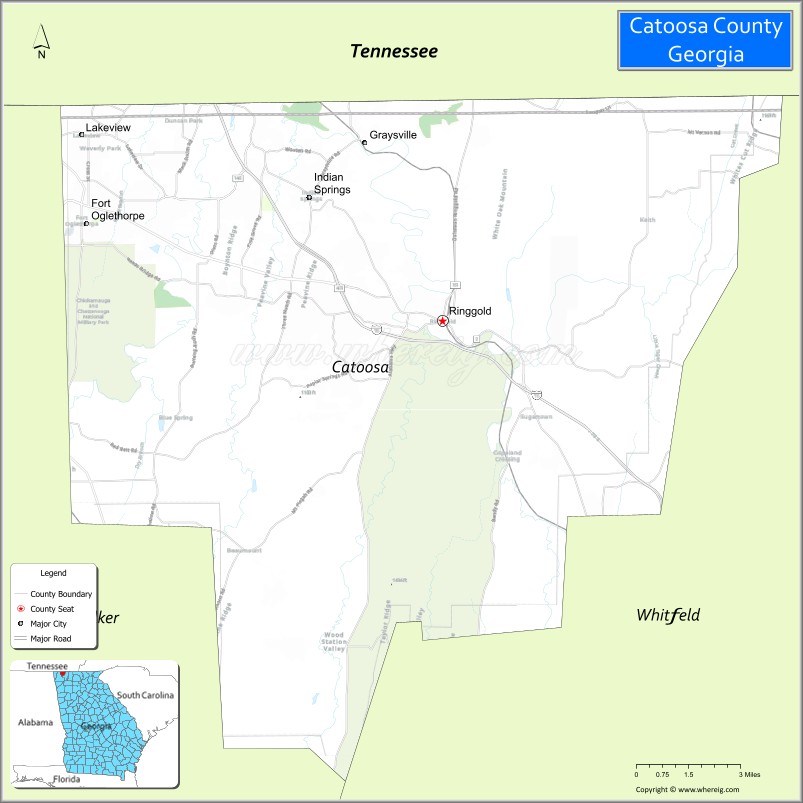
| Seat: | Ringgold |
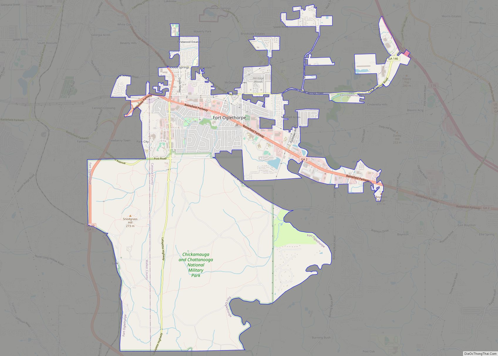
| Largest city: | Fort Oglethorpe |
| Total Area: | 162 sq mi (420 km²) |
| Land Area: | 162 sq mi (420 km²) |
| Total Population: | 67,872 |
| Population Density: | 419/sq mi (162/km²) |
| Time zone: | UTC−5 (Eastern) |
| Summer Time Zone (DST): | UTC−4 (EDT) |
| Website: | www.catoosa.com |
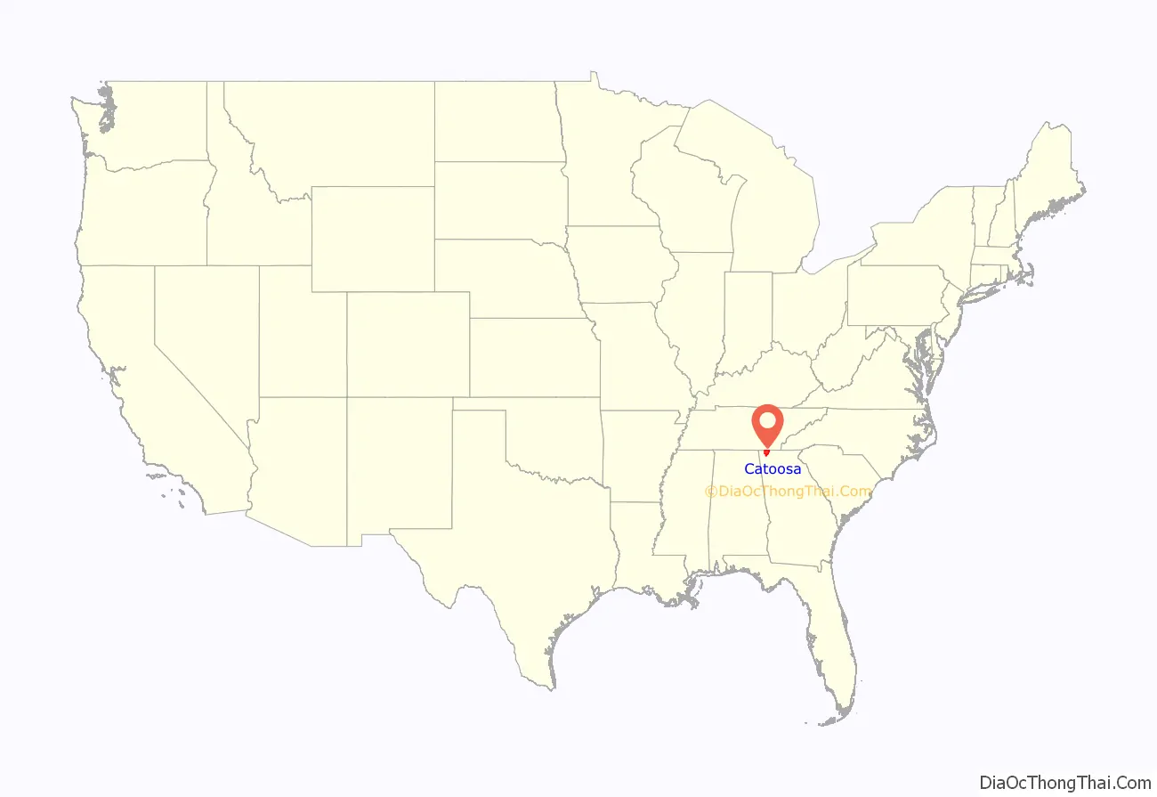
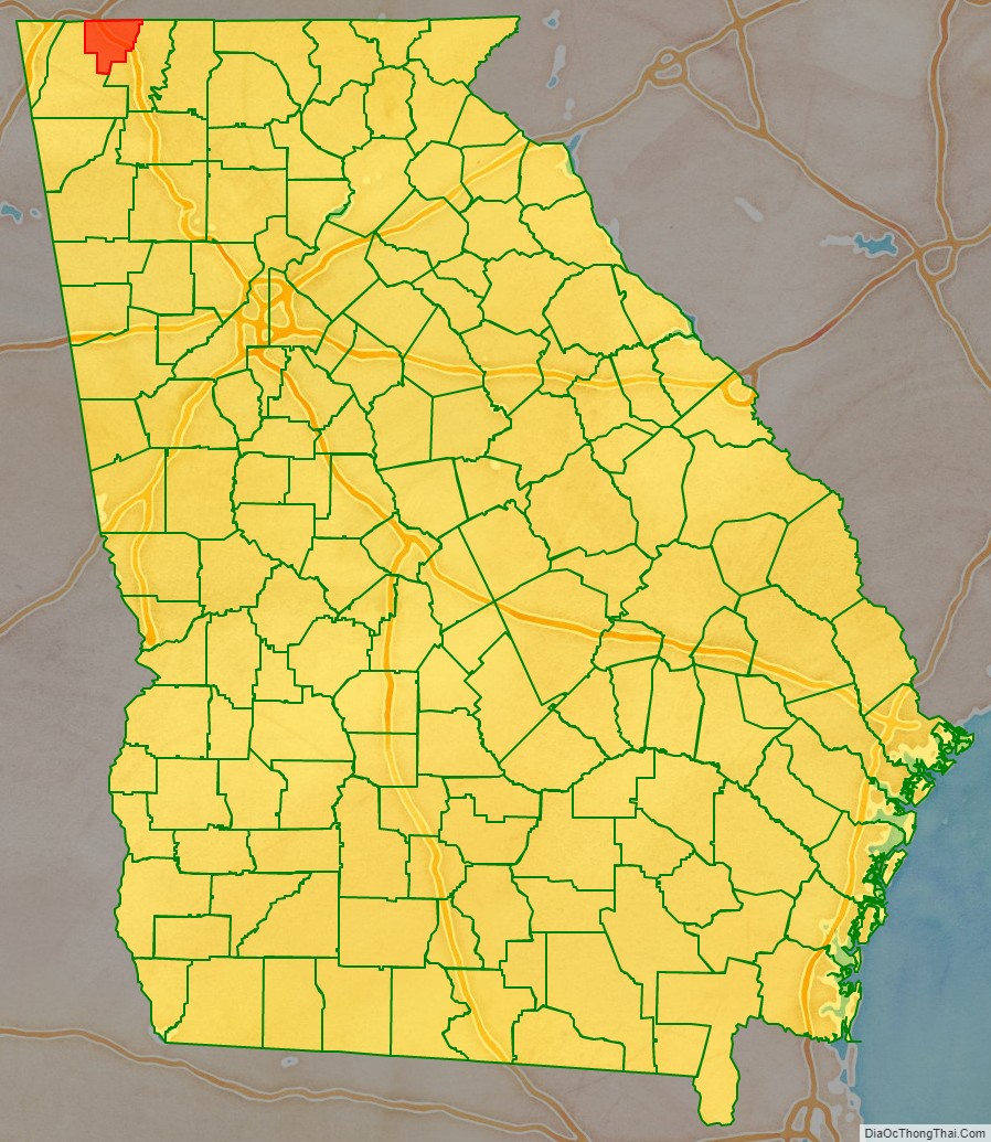
Catoosa County location map. Where is Catoosa County?
History
On March 14, 2002, due to a one-time sudden fog, about 125 vehicles crashed, causing a pileup in interstate 75 that killed four people and injured 39.
On April 27, 2011, a devastating tornado touched down in the town of Ringgold, located in Catoosa County, leaving a path of severe destruction.
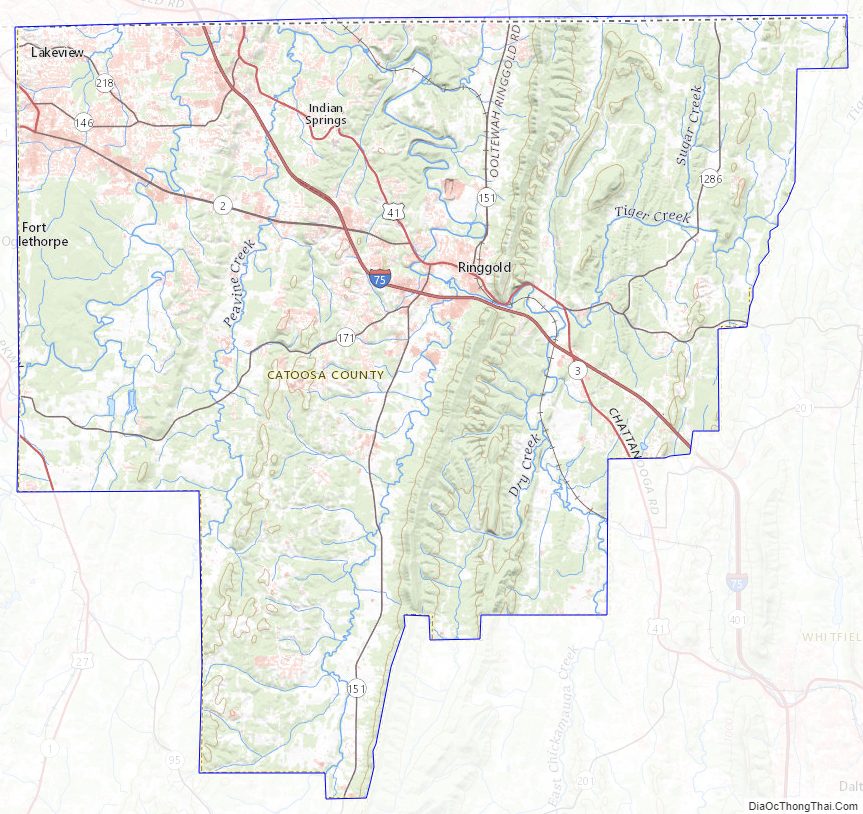
Catoosa County Road Map

Geography
According to the U.S. Census Bureau, the county has a total area of 162 square miles (420 km), of which 162 square miles (420 km) is land and 0.3 square miles (0.78 km) (0.2%) is water. The entire county is located in the Middle Tennessee-Chickamauga sub-basin of the Middle Tennessee-Hiwassee basin.
Major highways
- Interstate 75
- U.S. Route 27
- U.S. Route 41
- U.S. Route 76
- State Route 1
- State Route 2
- State Route 3
- State Route 146
- State Route 151
- State Route 401 (unsigned designation for I-75)
Adjacent counties
- Hamilton County, Tennessee (north)
- Whitfield County (east)
- Walker County (west)
National protected areas
- Chattahoochee National Forest (part)
- Chickamauga and Chattanooga National Military Park (part)
Catoosa County Topographic Map
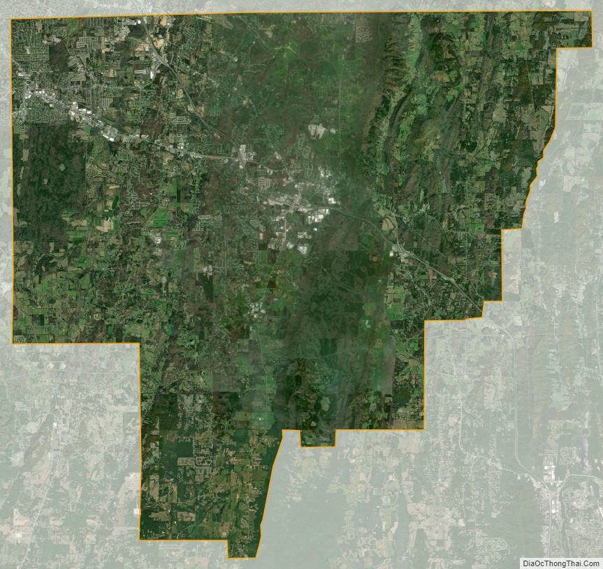
Catoosa County Satellite Map
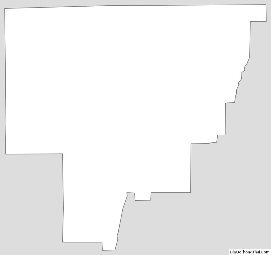
Catoosa County Outline Map